- Featured Maps
- October 11, 2009
Search results from Blog
24 results found for: France
Carte de France - The National Survey of France 1750 - 1815
The Carte de France was one of the first national surveys completed on the same scale, 100 toises (a toise was equal to 6ft and the equivalent scale today would be 1:86,400), according to a specific plan. It was led by several generations of the Cassini family (not to be confused with the Italian globemaker Giovanni M. Cassini) starting in the 1740's and continuing through the French revolution and Napoleon's time, to 1815. Four generations of the Cassini family held the position of director of the Paris Observatory, and three of those worked on the Carte de France: Jacques Cassini (Cassini II, 1677-1756); Cesar-Francois Cassini (Cassini III, 1714-1784); and Jean Dominique Cassini (Cassini IV, 1748-1845). The 182 sheets that comprise the map are superb examples of cartographic engraving. The use of trigonometric surveying techniques gave the map a high degree of accuracy for its time. The sheets can therefore be joined together to present a unified view of France in the 18th century. In the view below, they are joined digitally - if they were physically joined together they would form a map about 39 feet high by 38 feet wide:
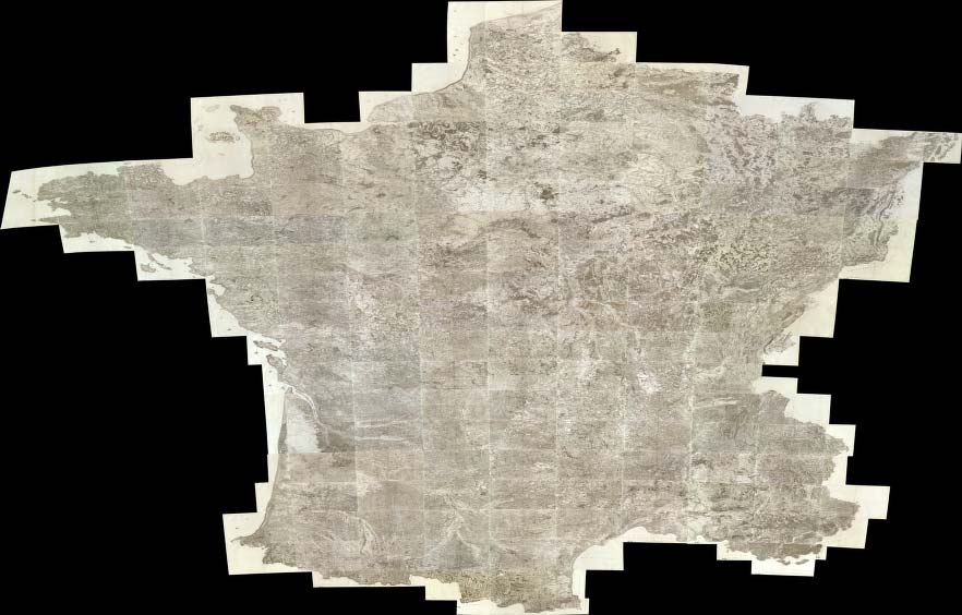
(Composite of 182 sheet) Carte de France. Levee par ordre du Roy. (1750-1815), Cassini family; Cassini, Cesar-Francois, 1714-178, Paris, 1750 - 1815
The Tableau de la Carte Generale de la France by Louis Capitaine shows the plan of dividing the country into map sheets:
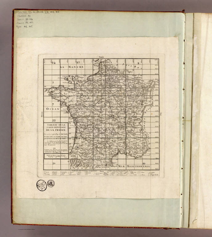
Tableau de la carte generale de la France. Pour servir a l'assemblage de 24 feuilles de la carte reduite sur l'Echelle d'une ligne pour 400 toises, et de celle en 180 feuilles, Capitaine, Louis, ca. 1749-ca. 1797, Paris, 1797
At the bottom of the Tableau is an Explication des Caracteres Geographiques employes dans la Carte Generale de la France, which is a key to the symbols used in the 182 sheet map - there are no keys on the sheets themselves. As such, it is invaluable in understanding the cultural information on the maps. A portion of the key is shown below in detail (click on the image to see the full key). Additional explanations of the map symbols can be found on this site.
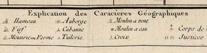
A portion of the Explication des Caracteres Geographiques employes dans la Carte Generale de la France
The plan for the triangulation survey is shown clearly in the Nouvelle carte qui comprend les principaux triangles... published in 1744 by Cesar-Francois Cassini and Giovanni Domenico Maraldi:

Nouvelle carte qui comprend les principaux triangles qui servent de fondement a la description geometrique de la France, Cassini, Cesar-Francois, 1714-1784; Maraldi, Giovanni Domenico, Paris, 1744
The first sheet published was centered on Paris, with the prime meridian running through the Paris Observatory and titled Carte de France Levee par ordre du Roy Premiere Feuille:

Carte de France levee par ordre du Roy. No. 1 (Paris). Ecrit par Bougoin. 1736 (i.e. 1756, corr. 1761-1762, Cassini family; Cassini, Cesar-Francois, 1714-178, Paris, 1762 (revised from the first edition of 1756)
This close up of sheet 1 shows Paris and the meridian passing through the Paris Observatory. It also gives a good sense of the rich cultural information shown on the sheets (click to open in a new window with zoom and pan):
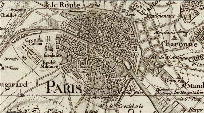
Detail of sheet 1, Paris, showing the city and the intersection of the two meridians at the Paris observatory
The production of the atlas sheets continued for about 65 years, to 1815. The cartographic style changed somewhat over that period, with slightly different symbols used for cultural and natural features at different times. Yet the map still has a consistency that that is impressive for such a long project. A version of the map on a reduced scale of 400 toises (1:345,600) on 24 sheets was published in 1790:

(Composite of 24 sheet) Carte de la France. Dediee au Roi. Par les directeurs et associes de la Carte de la France, Cassini, Cesar-Francois, 1714-1784; Capitaine, Louis, ca. 1749-ca. 1797; Cassini famil, Paris, 1790
We have georeferenced both the 100 and 400 toises issues of the Carte de France and put them in Google Maps and in Google Earth. Below is the 100 toises scale map in Google Maps (click on the image to open in Google Maps). The 400 toises reduced scale map can also been seen in Google Maps.
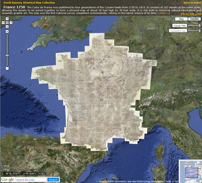
The 182 sheet Carte de France, 1750 - 1815, in Google Maps
The Carte de France in Google Maps and Google Earth can be searched by location, for example (in Google Maps) Marseilles, or Bordeaux, or Paris Environs, or regions like Brittany.
The 100 toises scale map in Google Earth is below (requires Google Earth app). The 400 toises scale map can also be viewed in Google Earth.
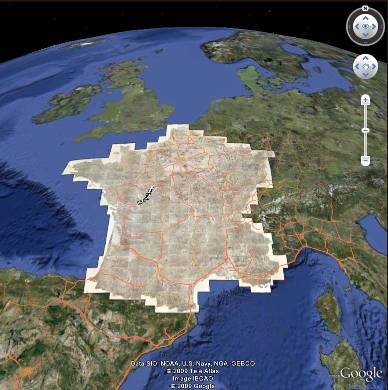
The 182 sheet Carte de France, 1750 - 1815, in Google Earth
- March 7, 2012
France 1750
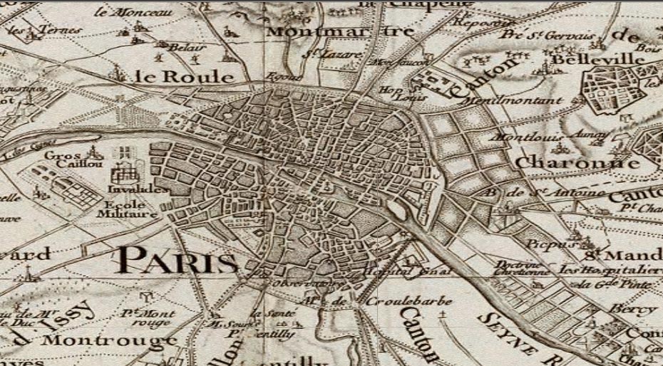
Carte de France. Levee par ordre du Roy, Cassini, Cesar-Francois, (map sheets dated 1750-1818)
Here Paris is shown with the surrounding country, as part of the huge 182 sheet map of France by the Cassini family, 1750-1818, one of the first accurate surveys of an entire nation.
- Recent Additions
- December 15, 2001
December 15, 2001 - 1,012 New Maps Added
 |
Highlights from 1,012 New Maps added to the David Rumsey Collection. All titles may be found by searching under Search/by Publication Author using the author last names below. Or click here to view all 1,012 new maps. |
Commercial, Topographical, and Statistical Atlas of the United States, 1874
Asher and Adams
41 Maps, most complete edition. This was one of the first United States atlases to exclusively feature railroad lines, showing minimal topography and only showing towns on or next to railroads.
Map Of The Pacific States, 1867
Bancroft, H.H.; Knight, W.H.
Second edition. Highly detailed wall map of the Western United States just after the Civil War.
Atlas of the Oil Regions of Pennsylvania, 1865
Beers, F. W.
54 maps, views, and advertisements. The only atlas made of the oil regions in Pennsylvania when oil was first discovered. The advertisements offer a look at the various companies involved in the early oil business.
Atlas of New York and Vicinity, 1868
Beers, F. W.
53 maps and views. Detailed maps of New York, Westchester, and Putnam counties.
New Universal Atlas, 1808
Cary, John
60 maps. One of the best world atlases of its time, and a source for American map makers.
Topographical and Geological Atlas, High Plateaus of Utah, 1879
Dutton, Clarence E.
8 maps, views, and diagrams. Detailed atlas of Utah early in its development.
Neptune des Cotes Occidentales d'Amerique sur le Grand Ocean, 1828
France. Depot-general de la Marine
35 charts. This volume 7 of Neptune Francois forms an extensive atlas of charts of the western coasts of North and South America.
Atlas Spheroidal et Universel de Geographie, 1862
Garnier, F. A.
63 maps. This atlas is exceptional for its "spheroidal" maps of the globe, showing the various continents and poles, shaded to give the effect of a sphere floating in space.
New General Atlas, 1830
Hall, Sydney
53 maps. Finely engraved and colored world atlas, with very up to date maps (for its time) of North and South America.
Report upon the Colorado River of the West, 1861
Ives, J.C.
5 maps and illustrations. One of the earliest reports of exploration of the Colorado River in the area of the Grand Canyon. This is the scarce Senate issue with four maps by "Baron" Egloffstein. Egloffstein used a unique engraving process to achieve a superb rendering of topographical features.
Royal Atlas of Modern Geography, 1861
Johnston, Alexander Keith
48 maps, first edition. This atlas was one of the best world atlases published in England in the second half of the 19th century.
Grosser Hand-Atlas uber alle Theile der Erde, 1860
Meyer, Joseph
168 maps. With 50 maps of the Americas and many detailed maps of world cities. MeyerÕs finest atlas, and an excellent example of 19th century German commercial cartography.
North American Atlas, 1845
Morse, Sidney E.
36 maps. The first Cerographic Atlas of the United States, using a new printing process that greatly reduced the cost of the atlas to the public, making this one of the first popular and cheap atlases produced in the United States.
Atlas Accompanying the Report on the Geology of New Hampshire, 1878
New Hampshire. Geological Survey; Hitchcock, Charles H.
17 maps and views. The only large folio Geological Atlas made of an eastern state, on the scale of the western survey atlases of Powell, Hayden, Wheeler and King.
Historical Atlas Map of Alameda County, California, 1878
Thompson & West
109 maps and views. Impressive maps and views of Oakland, Alameda, Berkeley and other more obscure parts of Alameda County.
Historical Atlas Map of Solano County, California, 1878
Thompson & West
30 maps and views. This is the scarcest of Thompson & West's California county atlases.
Historical Atlas Map of Santa Clara County, California, 1876
Thompson & West
75 maps and views. The first atlas made of a California county.
Atlas Universel de Geographie, Quatrieme partie. - Amer. Sept., 1827
Vandermaelen, Philippe
78 maps. These maps comprise volume 5, North America, of Vandermaelen's Atlas Universel, here issued as separate, unbound sheets. This monumental work was the first atlas of the world with all maps on the same scale, and an early example of a lithographed atlas. Two composite images were made of the western and eastern U.S. map sheets joined together.
- Recent Additions
- August 1, 2008
August 1, 2008 - 1,038 New Maps Added
The following are highlights from 1,038 New Maps added to the David Rumsey Collection. All titles may be found by clicking on the View links below. Or click here to view all 1,038 new maps.
 |
Carte de la France 1790 Cassini, Cesar-Francois, 1714-1784; Capitaine, Louis, ca. 1749-ca. 1797; Cassini family, Paris 5 maps. These maps are a 24 sheet reduction of Cassini's 182 sheet 1750 map, joined together in 4 large sheets of 6 maps each. Includes the key to symbols used in the large Cassini survey. View Maps You can also view these maps in Google Maps and Google Earth |
 |
United States Gazetteer, 1795
Scott, Joseph, Philadelphia 19 maps. This is one of the earliest gazetteers of the United States that was published in the U.S. View Gazetteer |
|
|
A New General Atlas, Ancient and Modern, 1814 |
 |
General Atlas of the World, 1822
DeSilver, Robert, Philadelphia 10 maps. Atlas of hand colored maps. Title page includes table of contents listing 47 maps (of which we have 10: Pennsylvania, Delaware, Maryland, Virginia, North Carolina, South Carolina, Georgia, Tennessee, Ohio and Switzerland). Unbound sheets. View Atlas |
 |
Atlas geographique, statistique, historique et chronologique des deux Ameriques, 1825
Buchon, J. A. C., Paris 53 maps. This atlas is derived from the Carey & Lea 1822 and 1823 American Atlas editions. Many of the maps are updated and several new maps have benn added. View Atlas |
|
|
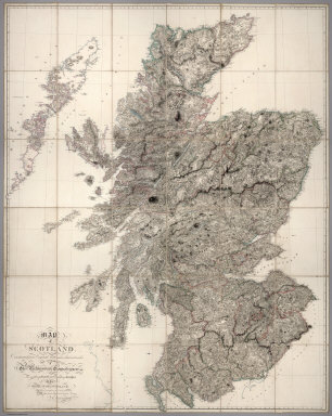
Atlas of Scotland, 1832 |
 |
Physisch-statistisch u. politischer Atlas von Europa, 1837 |
 |
La Geographie Universelle, 1837
Malte-Brun, Conrad, Paris 70 maps. An atlas of maps intended to accompany Malte-Brun's Universal Geography. Engraved edition. Later editions (1839) were lithographed. View Atlas |
 |
L'Univers. Atlas Classique Et Universel De Geographie Ancienne Et Moderne, 1837 |
 |
Atlas universel de geographie physique, politique, ancienne & moderne, 1842 |
 |
Atlas universel historique et geographique, 1844 |
 |
New General Atlas Of The World, 1844 |
 |
Historisch-geographi scher Hand-Atlas zur Geschichte der Staaten Europa's, 1854 |
 |
Atlas National De La France, 1856 |
 |
Geographischer Atlas uber alle Theile der Erde, 1864 |
 |
Spruner-Menke atlas antiquus, 1865 |
 |
Neuer Atlas der ganzen Erde, 1865 |
 |
Atlas dresse pour l'Histoire de la geographie et des decouvertes geographiques, 1874 |
 |
Middle Tennessee, Chattanooga Campaigns, 1891 |
 |
Wisconsin bicycle road maps, 1897 |
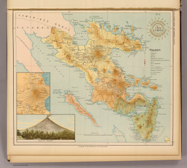 |
Atlas de Filipinas, 1899 |
 |
Atlas metodico para la ensenanza de la geografia de la Republica Mexicana, 1899 |
 |
Atlas Antiquus, 1903 |


- Featured Maps
- January 7, 2010
19th Century Maps by Children
In the 18th and 19th centuries, children were taught geography by making their own maps, usually copies of maps available to them in books and atlases at their schools or homes. Below is a group of maps and geographical diagrams made by children in the 19th century; and some of the school atlases, geographies, and wall maps that may have been their sources. These old maps made by children were hand drawn and colored, one-of-a-kind productions, and it is amazing that any have survived down to our time. That they have is due to luck and the efforts of families to preserve the history of their children. These maps have a special poignancy today in the way that they reflect the optimism of youth from another time.
The geographical diagram of Connecticut below is from Frances A. Henshaw's Book of Penmanship Executed at the Middlebury Female Academy April 29, 1823. She drew geographical diagrams for each of her hand-drawn maps in her book. Notwithstanding the title, this geography book is drawn by a very promising student. It includes descriptions of Astronomical Geography, the Ptolemaic, Brahean and Copernican Systems, Comets, Great Circles, Equator, Meridian, Horizon, Colures, Tropics, Polar Circles, Zones, Climates, Latitude and Longitude, a section titled "America," and 19 maps of the states with a descriptive geographical diagram for each.
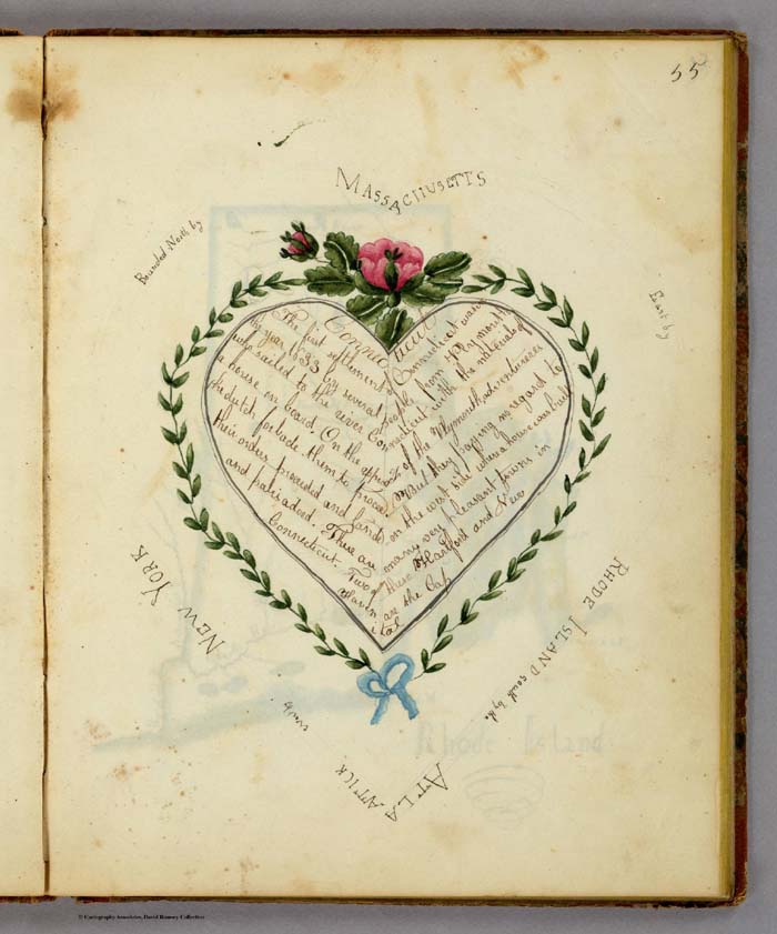
Geographical Diagram showing information about Connecticut including the bounding States, by Frances A. Henshaw, from Frances A. Henshaw's Book of Penmanship Executed at the Middlebury Female Academy April 29, 1823.
The diagram above accompanied a hand-drawn map of Connecticut, shown below. Of the 19 maps in her book, most were copied from the 1805 edition of Carey's American Pocket Atlas (see our 1796 edition, which is similar), except for Ohio, which is from Arrowsmith and Lewis' Atlas, 1812, and Indiana, from an unknown source.
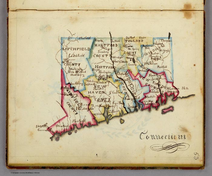
Map of Connecticut, by Frances A. Henshaw, from Frances A. Henshaw's Book of Penmanship Executed at the Middlebury Female Academy April 29, 1823.
The text sections of her book are copied from Morse's "Geography Made Easy", probably 1807 edition, but the text describing the maps in her geographical diagrams is entirely original. The geographical diagrams themselves are very unusual and unlike anything we have seen in children's books. A selection of them is shown below:
 |
 |
 |
 |
 |
 |
 |
 |
 |
Nine examples of Henshaw's geographic diagrams for her maps of U.S. states
Henshaw saved her book and gave it to her son, T.A. Post, in 1872, a year before she died. Note the inscription on the bottom of the title page, just below the date of April 29, 1823, when she finished her book. That she kept the book for 44 years into her adult life and then passed it on to her son indicates how much she valued it.
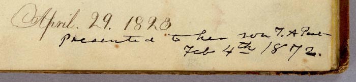
Henshaw's presentation inscription to her son, Truman Augustus Post, February 4, 1872
About a year after we scanned and put the book in our online map library, we were emailed by Henshaw's great-great grandson Truman Young who said "I recently found an item on the online David Rumsey collection that appears to be a notebook written by my great-great-grandmother, Frances Alsop Henshaw Post (1809-1873). I have more information about her, if that would be a useful addition to your records. For example the "T.A. Post" referred to on the title page is her son, Truman Augustus Post (1838-1902)." Mr. Young will visit our library later in 2010 and we hope to gain more information from him about his remarkable ancestor, Frances Henshaw, who would have been 14 years old when she made these maps.
View the entire Frances Henshaw "Book of Penmanship" as a slide-show.
Emma Willard (1787-1870) was a prominent teacher who believed that young women should learn geography by making maps. It is likely that her influence on teaching practices of the first half of the 19th century played a role in the creation of children's maps by young women at the time. Willard published several history school books that included many very imaginative maps and charts that no doubt inspired students to think of space and time as integral dimensions of history. An example is her Atlas to Accompany a System of Universal History, which contains "A chronological picture of nations, or perspective sketch of the course of empire. (and) the progressive geography of the World, in a series of maps, adapted to the different epochas [sic] of the history." Her time-line "Picture of nations or perspective sketch of the course of empire" is shown below:
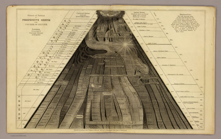
Picture of nations or perspective sketch of the course of empire. To accompany Willard's Universal history in perspective.
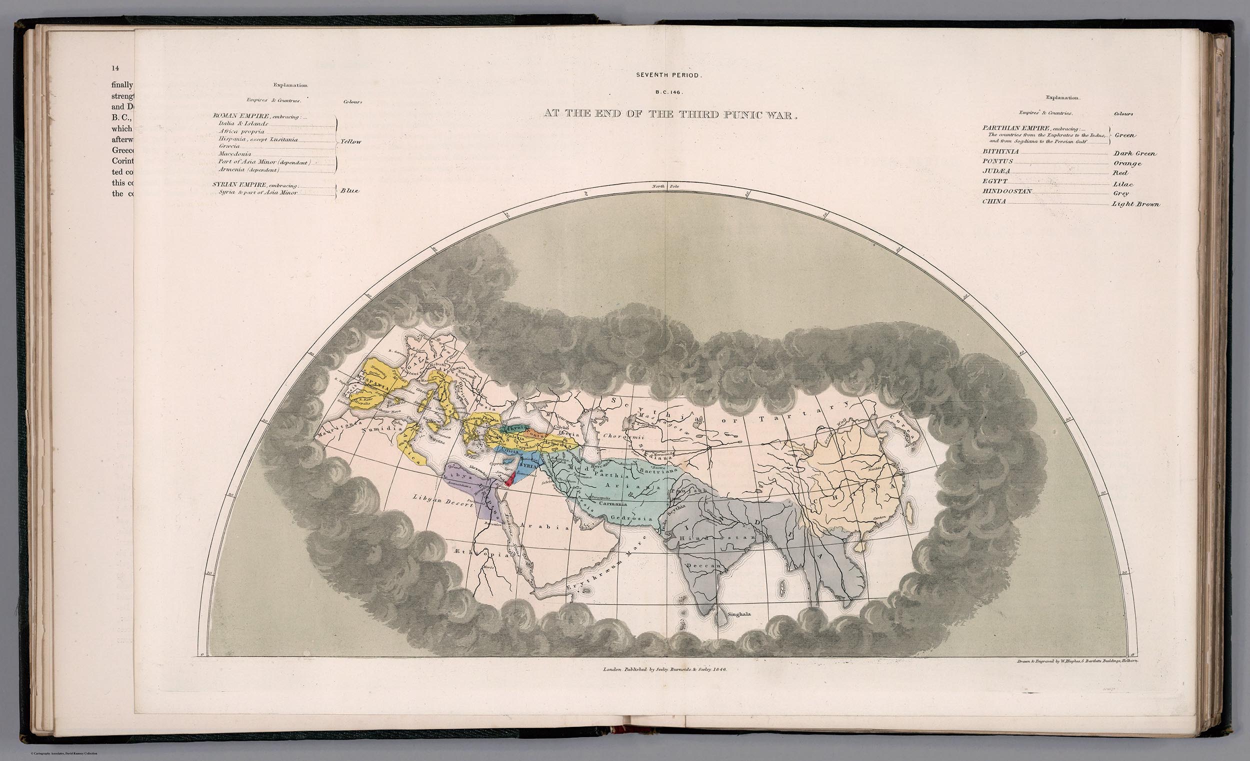
In the same book, Willard uses receding dark clouds shrouding parts of the maps to show the expansion of geographical knowledge over time, a convention she probably borrowed from Edward Quin's Historical Atlas of 1830. This technique is an especially delightful visualization that no doubt stimulated children's imaginations and may have helped them remember historical eras. Below is one of her cloud maps showing the period from BC 1921 to the Christian Era:
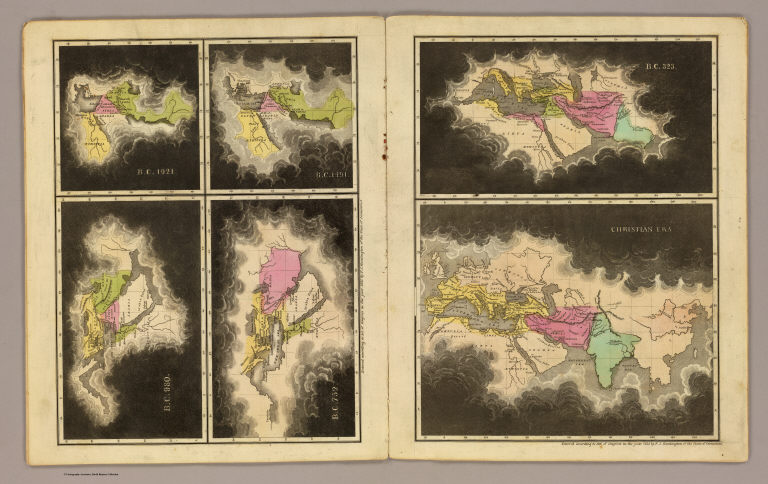
B.C. 1921. B.C. 1491. B.C. 980. B.C. 752. B.C. 323. Christian era. To accompany Willard's Universal history in perspective.
Children often made individual maps or groups of maps. Eliza S. Ordway made a small wall map of the United States in 1829, with black rollers top and bottom as was the style for commercially made wall maps of the period.
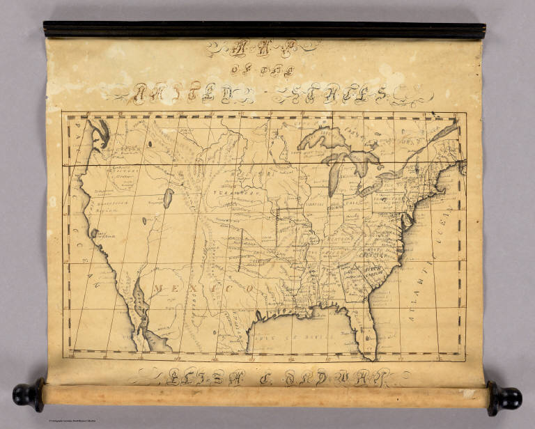
Map of the United States by Eliza S. Ordway, 1829
Anna M. Bullard drew her "Map of the World" in hemispheres in 1836 in Boston, Massachusetts. Her cartography is somewhat simplified but generally accurate for the time. She also used a wall-map style, including varnishing the map to better preserve it.
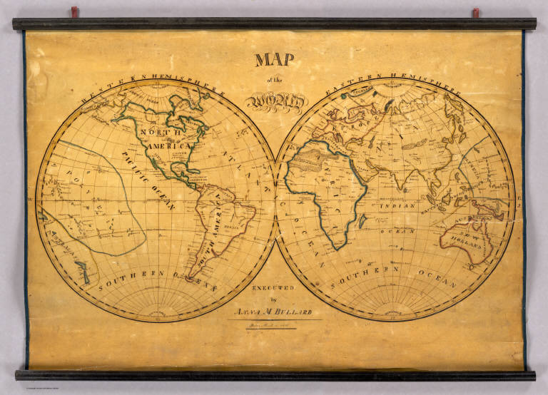
Map of the World. Executed by Anna M. Bullard. Boston March 15, 1836. Western Hemisphere. Eastern Hemisphere.
Maria Symonds of the Topsfield Academy in Topsfield, Massachusetts, made this map of the United States and dated it 1830. It bears a strong resemblance to John Melish's United States of 1822 (although the Melish map does not cover the West Coast). This is very well drawn, backed with linen and varnished, and outlined in color.
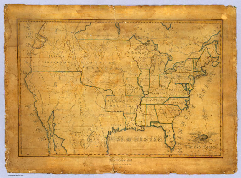
United States. Maria Symonds. Topsfield Academy. 1830.
Another map of the United States--we think made about 1821, based on the geography and boundaries in the map-- was most likely done by a student using the John Melish 1816 United States Map (which covers the entire county coast to coast) as a source.
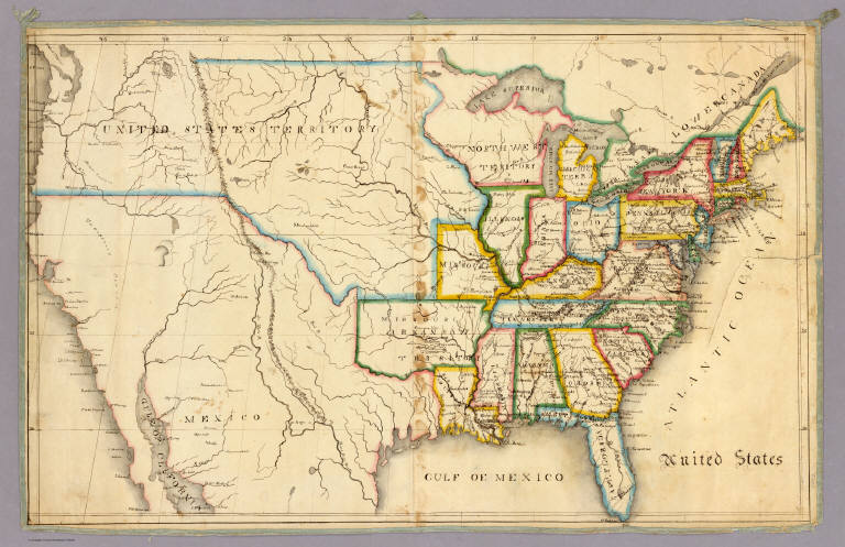
Anonymous Student, United States, 1821
It is interesting to compare the above two maps' delineation of Florida and get a closer look at their styles of drawing and level of detail:
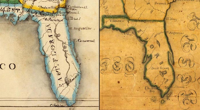
Anonymous Student, United States, 1821 Maria Symonds, United States, 1830
Most of the children's maps in our collection are by young women. Only a few are by young men. These three maps made by Bradford Scott are very individualized productions and striking in their use of bold colors and strong lines.
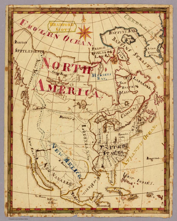
North America. Bradford Scott.
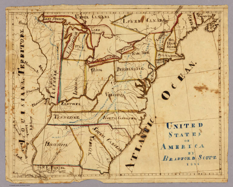
United States of America by Bradford Scott 1816.
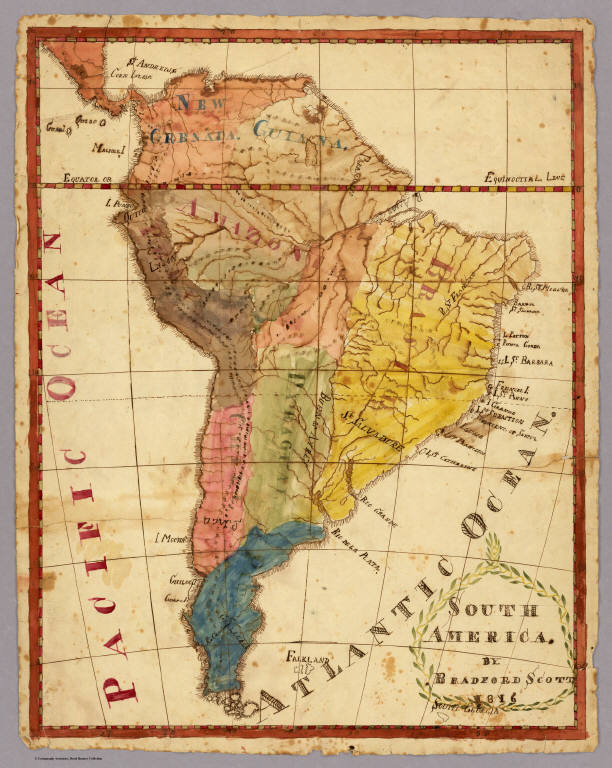
South America. By Bradford Scott. 1816.
The earliest children's atlas that we have in the collection is "A General Atlas, done by Frances Bowen under the care of her Sister Eliza in the year 1810"
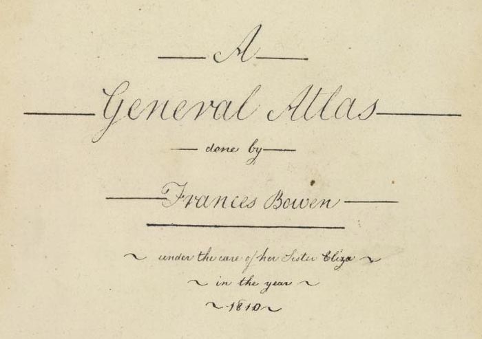
Title page to Frances Bowen's "A General Atlas," 1810
Bowen has 37 maps in the atlas, all carefully drawn. The result is very fine and these are some of the most delicate and well executed children's maps we have seen. The paper is watermarked J. Whatman 1808 and E & P 1804, both English watermarks. Hence we assume that Bowen is from England; furthermore, the meridian is from London on the World and U.S. maps, although she could be American. Her World map is shown below:
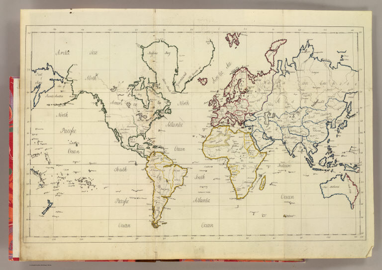
World map. By Frances Bowen. 1810
View the Frances Bowen General Atlas as a slide-show.
In addition to the previously mentioned influence of Emma Willard, children and students were inspired to draw maps by reading the many other teaching and school atlases that were published in the 18th and 19th centuries. Our online map collection has over 600 maps and images from school atlases. Some of these books encouraged children to draw either by showing simplified maps of the word that were easy to copy, or by specifically providing blank map sheets for the students to fill in.
Johann Baptist Homann published his teaching atlas, the Atlas Methodicus in Nuremberg, Germany, in 1719.
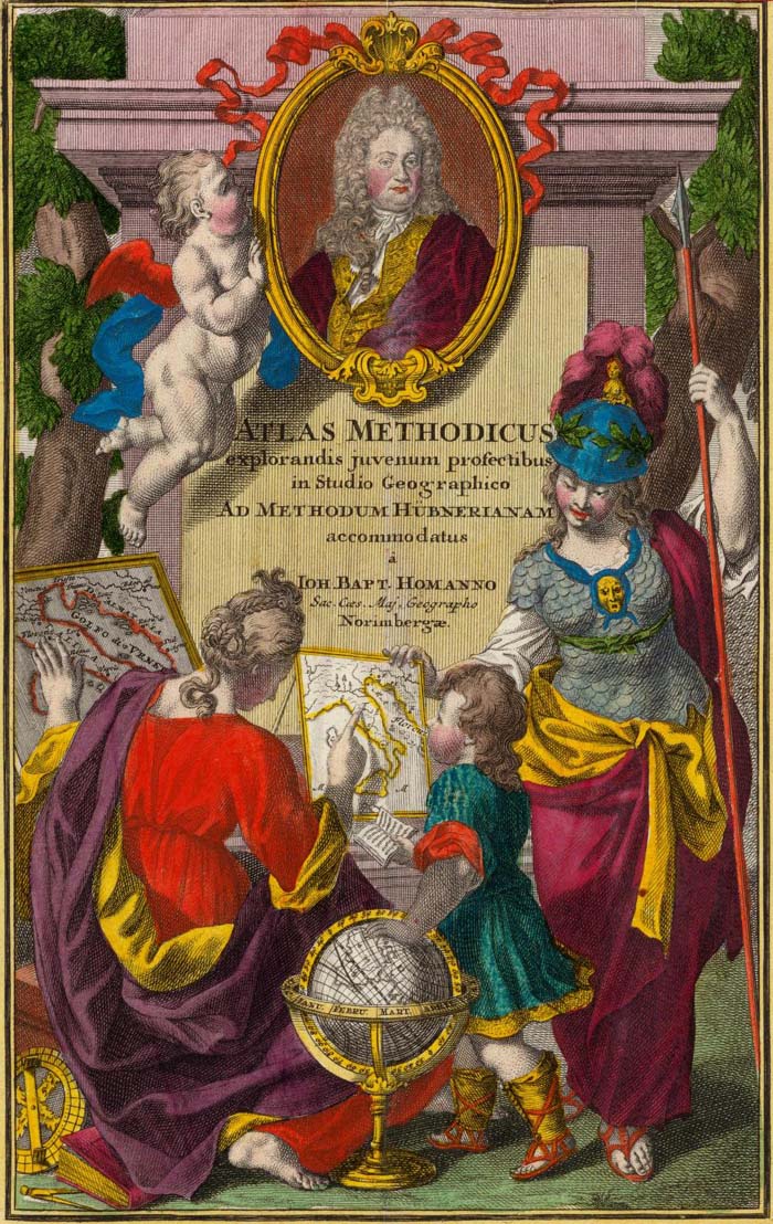
Title page to Homann's "Atlas Methodicus," 1719
An example of the simplified maps in Homann's atlas is this map showing California as an island off the coast of North America, a common geographical misconception of the 18th century. California is identified with the letter "C" which is then listed under the text pages on the islands of North America.
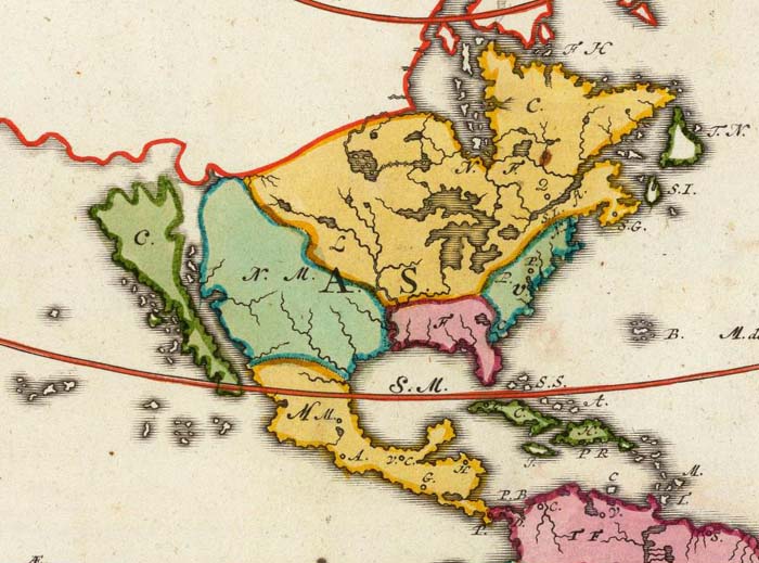
A portion of "Charte von America. Johanne Baptista Homanno, Norimbergae, 1719"
William Faden, a London map and atlas publisher, published the exquisite Geographical Exercises in 1777, containing pairs of drawn maps and blank maps. Students were expected to copy the drawn maps onto the blank maps and thereby learn the geography by drawing it.
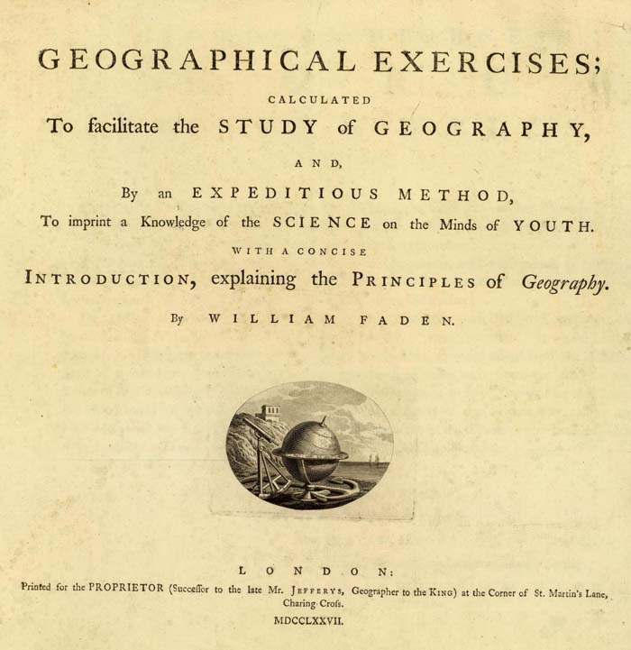
Title page to William Faden's "Geographical Exercises,Calculated to Facilitate the Study of Geography," 1777
Faden's Map of Asia is paired with a blank Map of Asia, the blank sheet showing clearly the interesting polyconic projection used to draw the map.
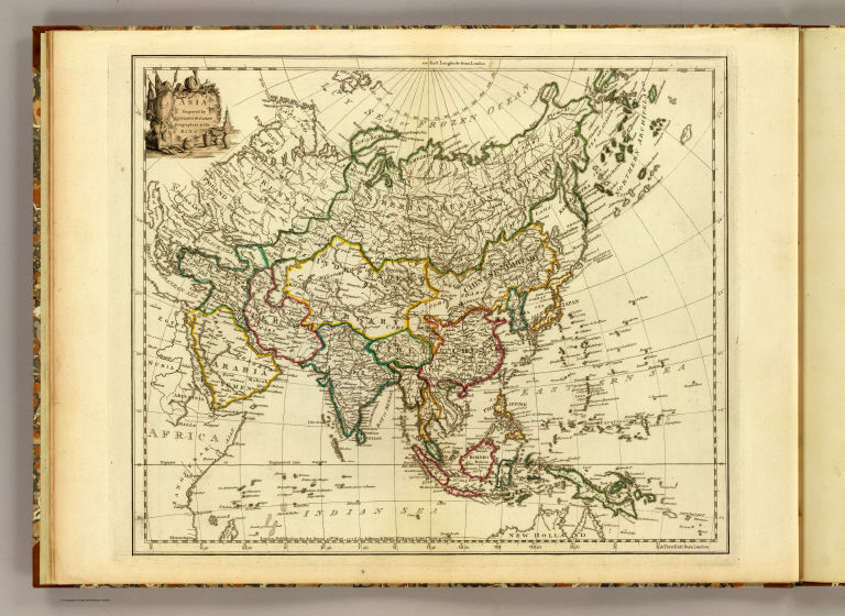
"Asia. Engraved by Jefferys & Faden, Geographers to the King." 1777

"Asia. London, publish'd by Jefferys & Faden, Corner of St. Martin's Lane, Charing Cross." 1775
In the 19th century, Samuel Augustus Mitchell of Philadelphia published in 1839 a School Atlas that was accompanied by a separate Atlas of Outline Maps. Below is the drawn Map of the United States from the School Atlas and the outline Map of the United States from the Atlas of Outline Maps:

"Map of the United States and Texas Engraved to Illustrate Mitchell's School and Family Geography. No. 4. (with) Map of Mexico and Guatimala ... No. 5" 1839
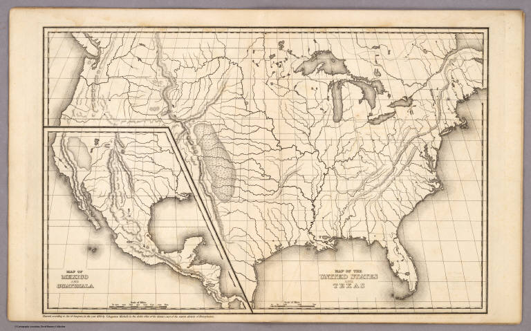
"Map of the United States and Texas. (with) Map of Mexico and Guatimala." Entered ... 1839, by S. Augustus Mitchell.
View a slide-show of Mitchell's drawn and outline maps.
Another example of school atlases that taught map drawing is George W. Fitch's Mapping Plates from 1850, "designed for learners in geography, being a collection of plates prepared for delineating maps of the World, and countries forming its principal subdivisions ..." Student Lydia S. Weeks completed this page of the Western and Eastern Hemispheres:
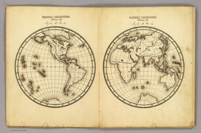
"Western Hemisphere ... Eastern Hemisphere drawn by Lydia S. Weeks." By George W. Fitch.
In addition to Lydia Weeks, several other students filled in the map plates. View the entire Fitch "Mapping Plates" book as a slide show below. Click on the link "Go to Source" to view larger.
Towards the end of the 19th century, solutions to teaching map drawing became even more imaginative, including the use of stencils in the Drawing Teacher published in 1885. It has six stencil maps in its box, below, one of the United States (shown) and five more of the continents:

It gives me special pleasure to share these maps online, as I have long treasured them as special parts of the collection. Imagine what would happen today if we brought back the classroom practice of making maps to teach geographical literacy, with all the easy tools and satellite images of the Earth available on our desktops, and these old children's maps for inspiration.
- Recent Additions
- April 1, 2004
April 1, 2004 - 1,218 New Maps Added
 |
The following are highlights from 1,218 New Maps added to the David Rumsey Collection. All titles may be found by launching the Insight Browser or Java Client and searching under Search/by Publication Author using the author last names below. Or click here to view all 1,218 new maps. |
Atlas of the Metropolitan District (of New York City), 1891
Bien, Joseph Rudolph; Vermeule, C.C., New York
13 Maps. Covers New York City and the country around it, including parts of New Jersey and Westchester County, New York. One of the finest examples of color lithographic map printing from the press of Julius Bien, noted American map publisher in the second half of the 19th century. View Atlas
Grand Atlas Universel, 1816
Brue, Adrien Hubert, Paris
50 Maps. Detailed, large scale maps of all the continents and France. View Atlas
Carte de France, 1750-1815
Cassini, Cesar-Francois, Cassini family, Paris
210 Maps, including 18 digital composite maps joining the original Cassini maps into groups of up to 16 maps for viewing entire regions of France. The first accurate trigonometric survey of an entire country, the Cassini maps span three generations of mapmakers and became the model for later national surveys in England and the U.S. View Atlas
Cartes et Tables de la Geographie Physique ou Naturelle, 1770
De Lisle, Guillaume; Buache, Philippe, Paris
20 Maps, tables, and diagrams. One of the first physical atlases published. View Atlas
Atlas of Charts, 1828
E. & G.W. Blunt, New York
4 large charts on 10 sheets. An early atlas of charts of the United States coast from Maine to Florida. View Atlas
(General Atlas), 1811
Faden, William, London
60 Maps. Maps of the entire world, variously dated from 1785 to 1811. View Atlas
Description de l'Egypte, Atlas Geographique, 1826
France, Commission des Sciences et Arts d'Egypt; Panckoucke, C.L.F., Paris
53 Maps. Covers the entire Nile River from its source to the delta, as well the coast of Palestine. Very detailed maps by Pierre Jacotin in French and Arabic. View Atlas
Allgemeiner Hand Atlas der Erde, 1856
Geographisches Institut (Weimar, Germany)
70 Maps and diagrams. Extraordinarily detailed maps of the world, including three solar system diagrams. The Geographic Institute at Weimar was one of the finest and most prolific publishers of world atlases in Germany during the 19th century. View Atlas
Atlas of San Francisco, 1876
Humphreys, William P., San Francisco
60 Maps. A detailed plat book of San Francisco showing all recorded and surveyed (though not necessarily built on) blocks of the city. View Atlas
Physical Atlas of Natural Phenomena, 1856
Johnston, Alexander Keith, Edinburgh
36 Maps and views. The second edition of an important 19th century physical atlas that is partly derived from the Berghaus Physical Atlas of 1849, also online. View Atlas
Historical Atlas Map of Fresno County California, 1891
Thompson, Thos. H., Tulare, California
105 Maps, views, and plans. Thompson made several county atlases of the counties around San Francisco Bay, but this (with Tulare County below) was the only county atlas made elsewhere in California. View Atlas
Historical Atlas Map of Tulare County California, 1892
Thompson, Thos. H., Tulare, California
164 Maps, views, and plans. A special sepia toned edition of this atlas (limited to 150 copies). Thompson lived in Tulare County, which may explain the great detail shown here, his largest county atlas production View Atlas
Atlas Universel: Europe, Asie, Afrique, Amerique Meridionale, Oceanique, 1827
Vandermaelen, Philippe, Bruxelles
400 maps and views. The first lithographic atlas of the world, with all the maps on the same scale. If all the maps were joined together, they would form a globe 7.75 meters in diameter (such a globe was made in Brussels after the atlas was published). The North American volume, Amerique Septentrionale, was put online previously, and these additional five volumes complete the online atlas. View Atlas
- Featured Maps
- March 7, 2020
Firelei Báez Paints on Rumsey Maps
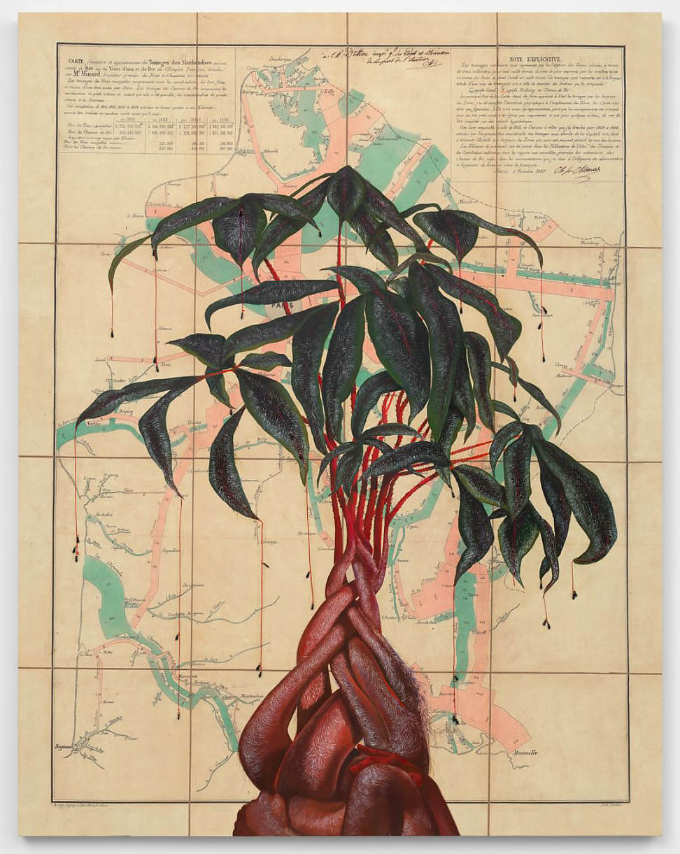
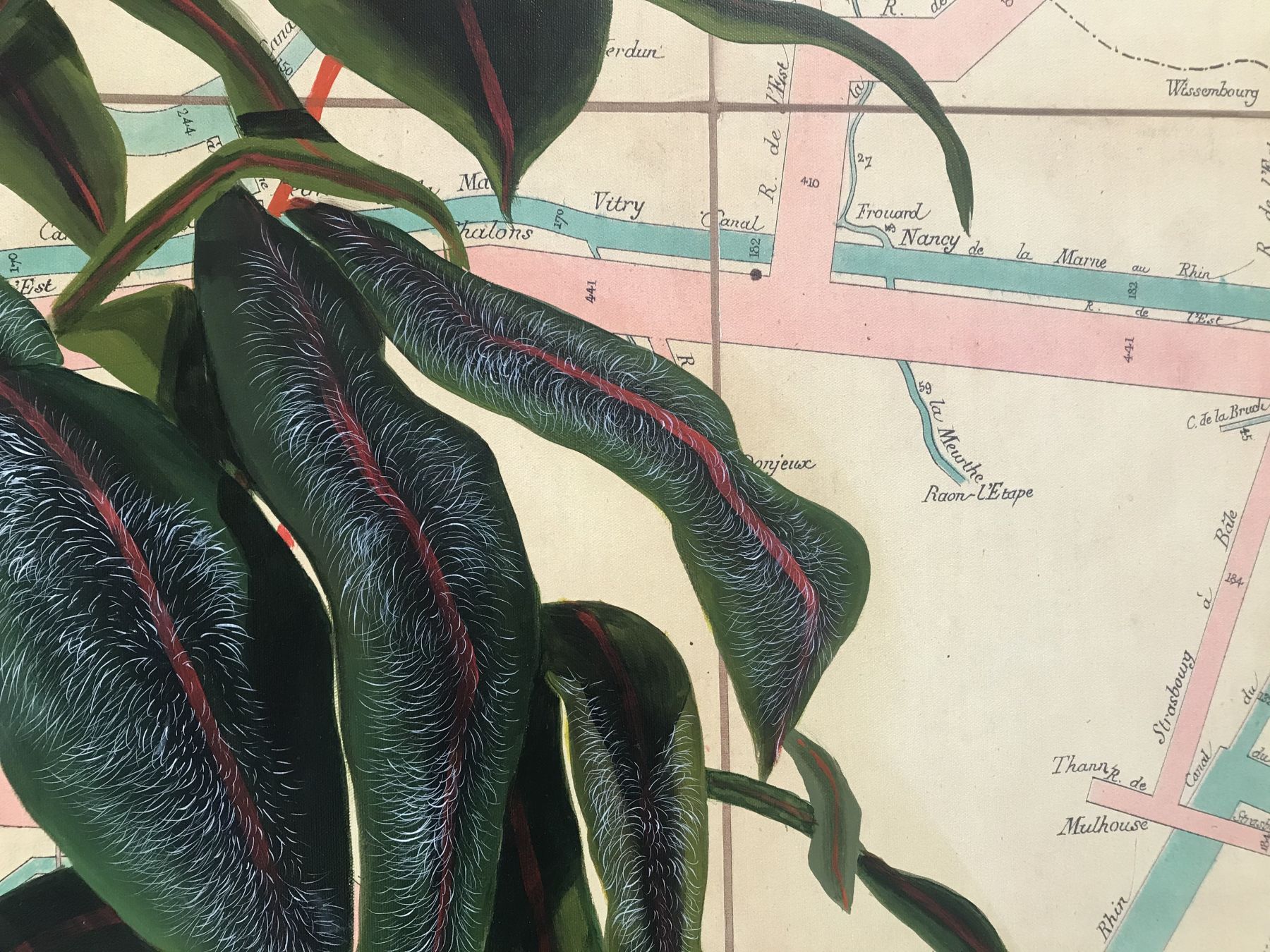
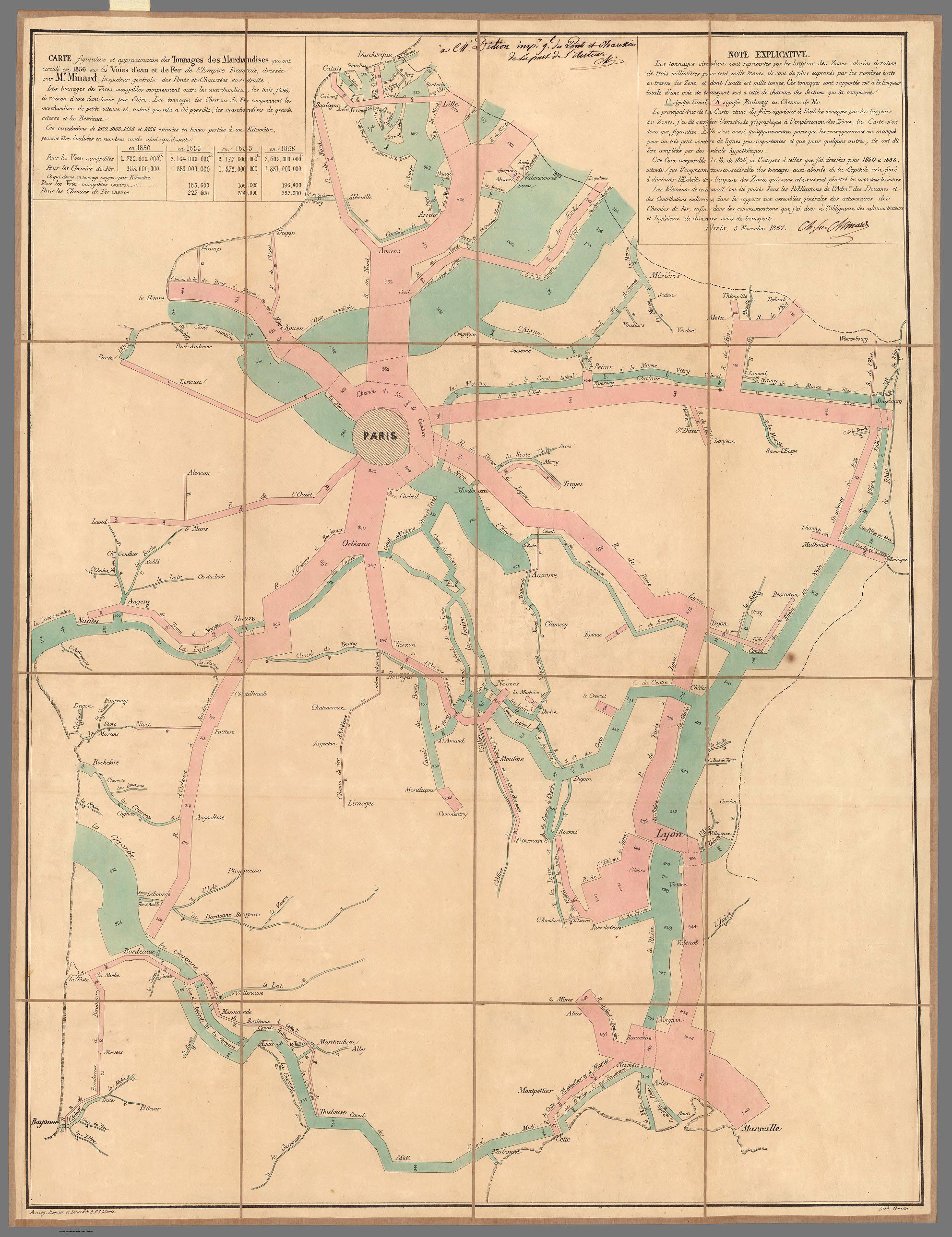
Artist Firelei Báez has opened an exhibition of new paintings at the James Cohan Gallery in New York City (March 5 - April 25, 2020). In many of these paintings Báez uses Rumsey Collection historical maps as the background for the works, with the maps enlarged and printed on canvases up to ten feet. David Rumsey provided the ultra high resolution map images necessary for printing at such a scale. The James Cohan Gallery describes Báez's art as work that "casts diasporic histories into an imaginative realm, re-working visual references drawn from the past to explore new possibilities for the future. Often depicting strong, shape-shifting female protagonists, her paintings incorporate motifs sourced from regional mythologies and historical artifacts alongside cues from science fiction and fantasy, to envision identities as unfixed, and inherited stories as perpetually-evolving... For more than a decade, Báez has painted directly onto found cartographic or printed materials to disrupt the boundaries they serve to delineate. Questioning notions of past and present, mark-making and painterly gesture become means of situating subjugated personal memory and experience in dialogue with narratives of the Western tradition. The works in her exhibition carry forward this long-standing interest while upscaling source materials onto large-format canvas to allow for intervention in human-proportion." Images of her extraordinary works and the maps underlying them are shown below.
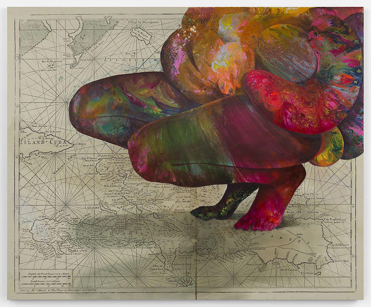
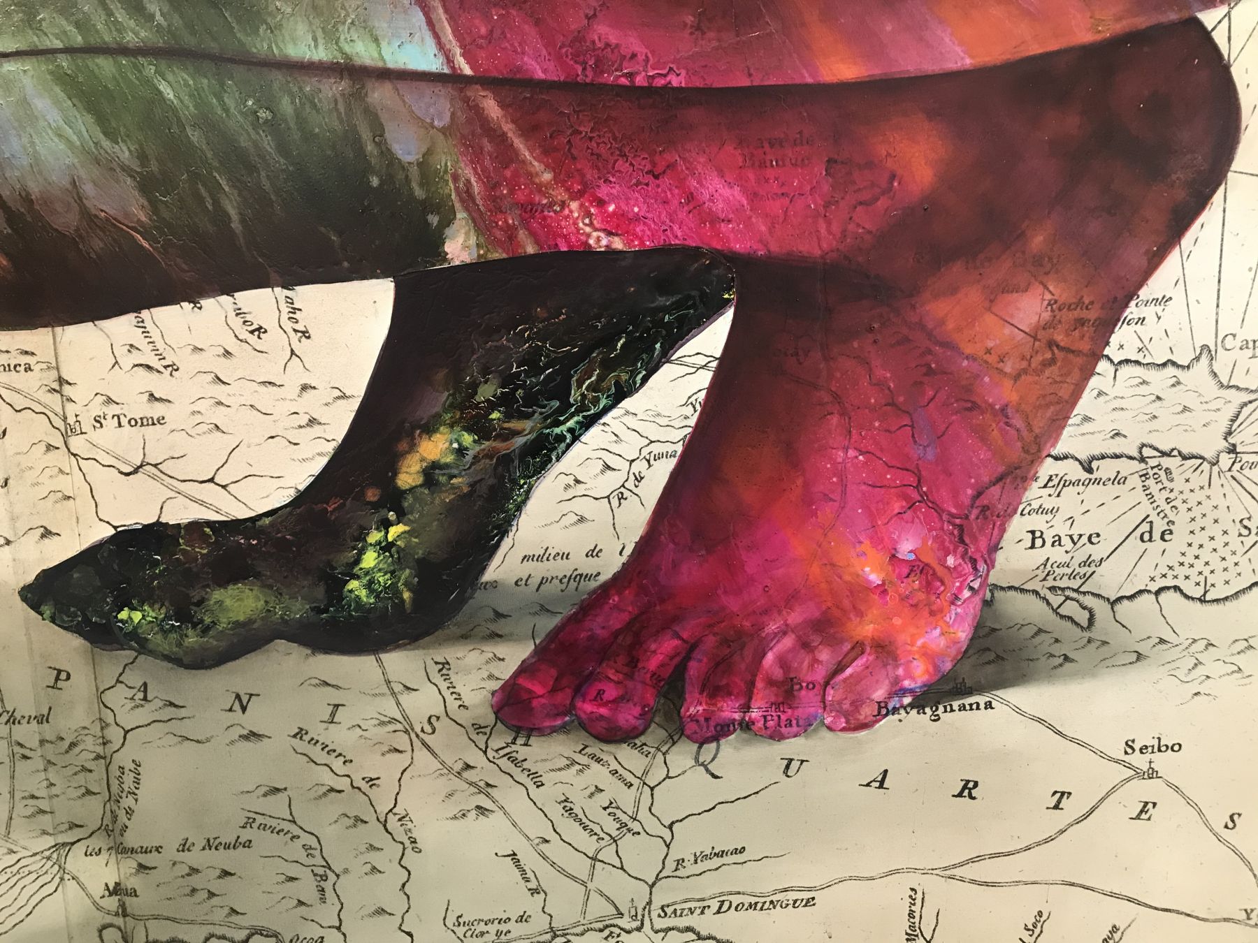
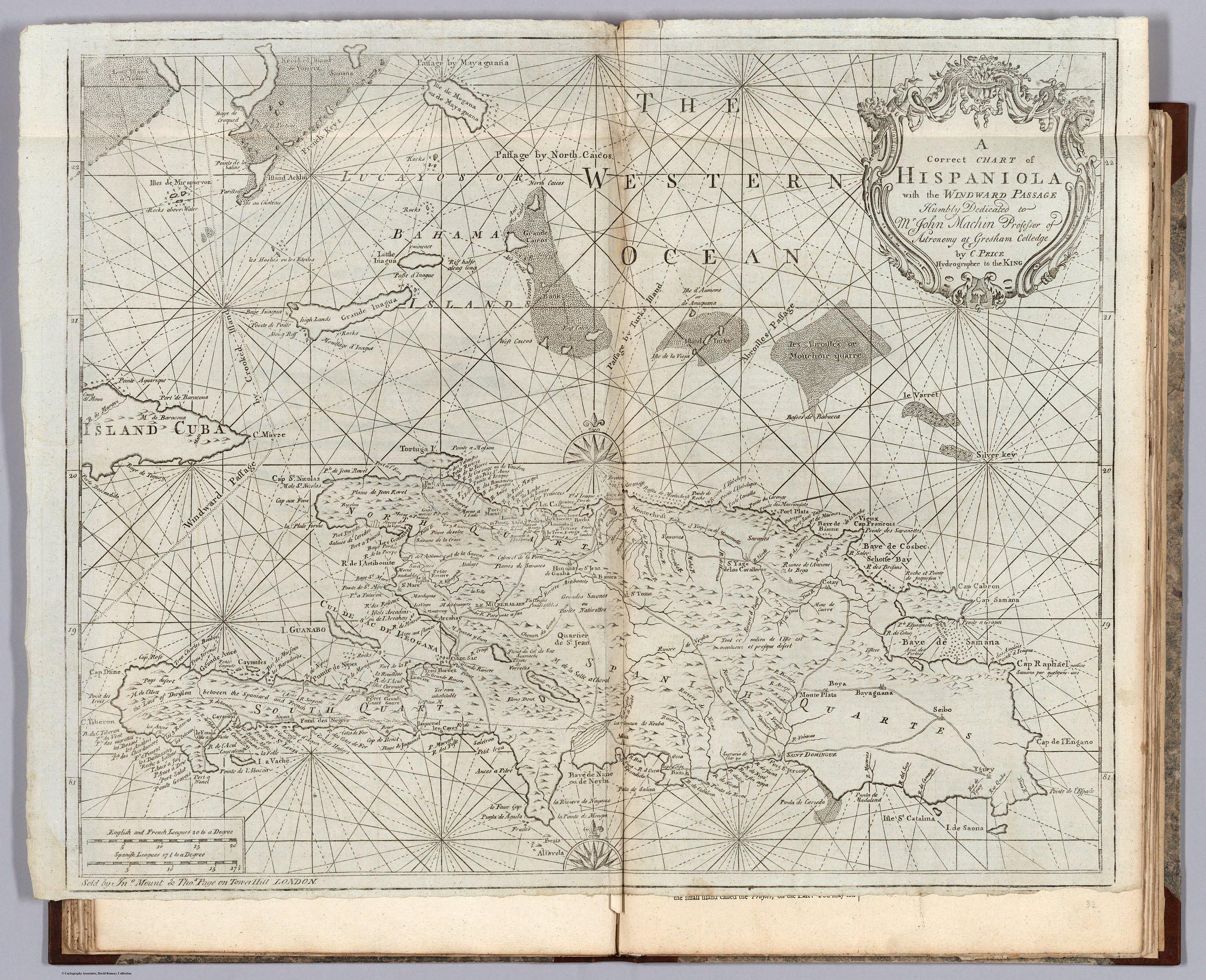
PRICE, C; MOUNT AND DAVIDSON
A Correct Chart of Hispaniola with the Windward Passage.
1794
48 x 60cm
A Correct Chart of Hispaniola with the Windward Passage.
1794
48 x 60cm
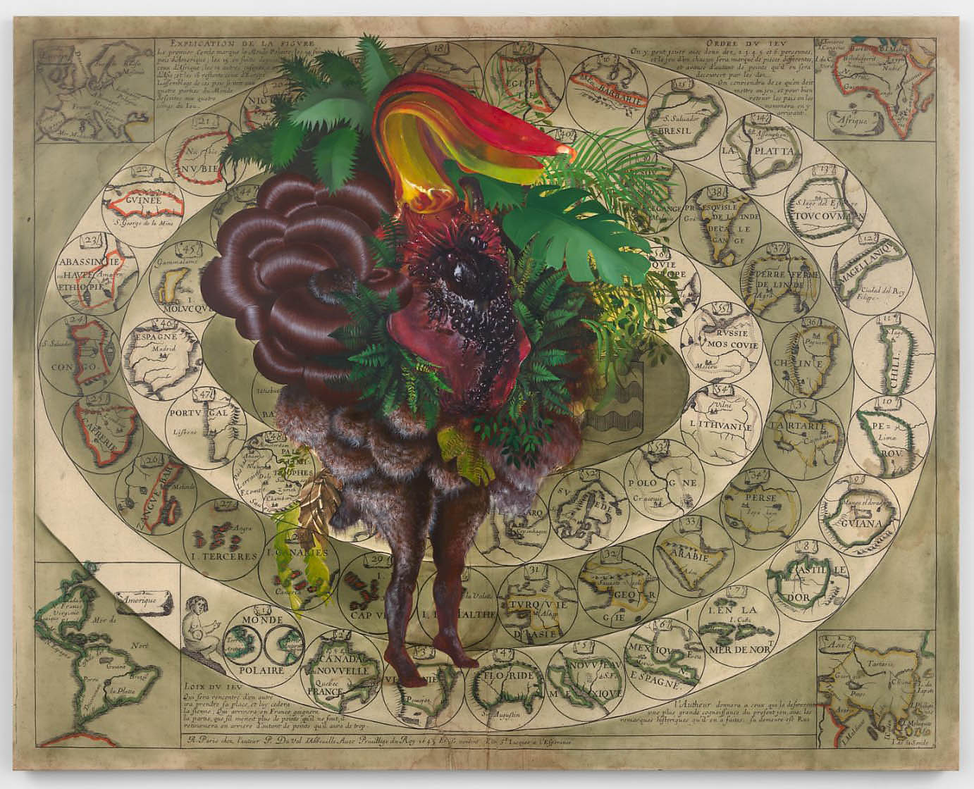
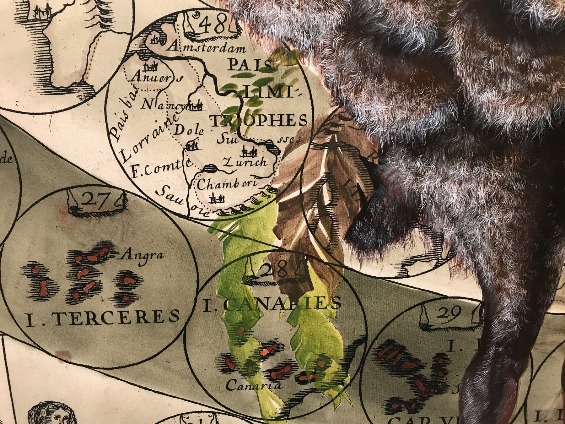
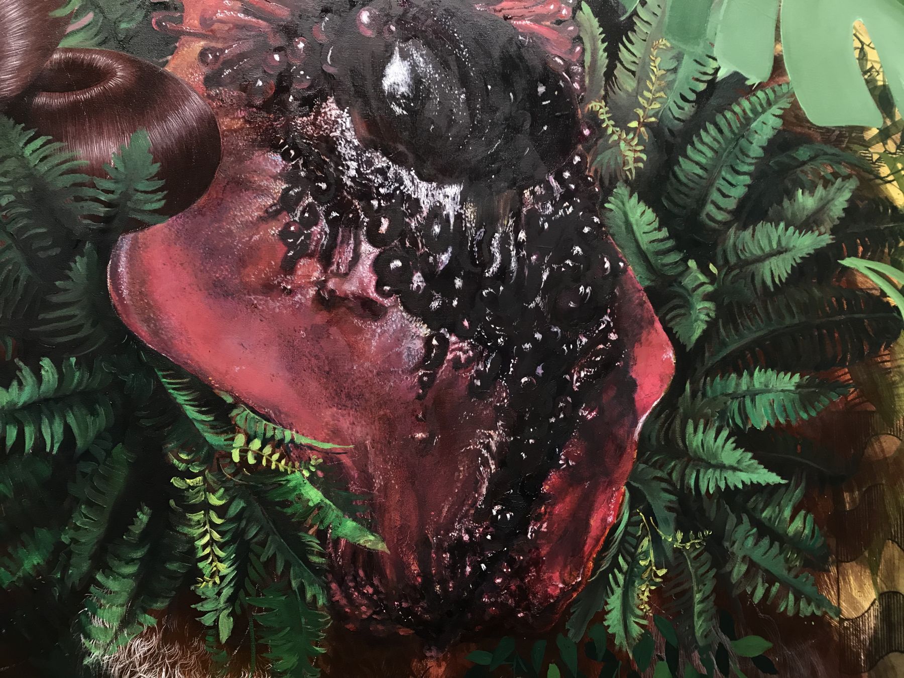
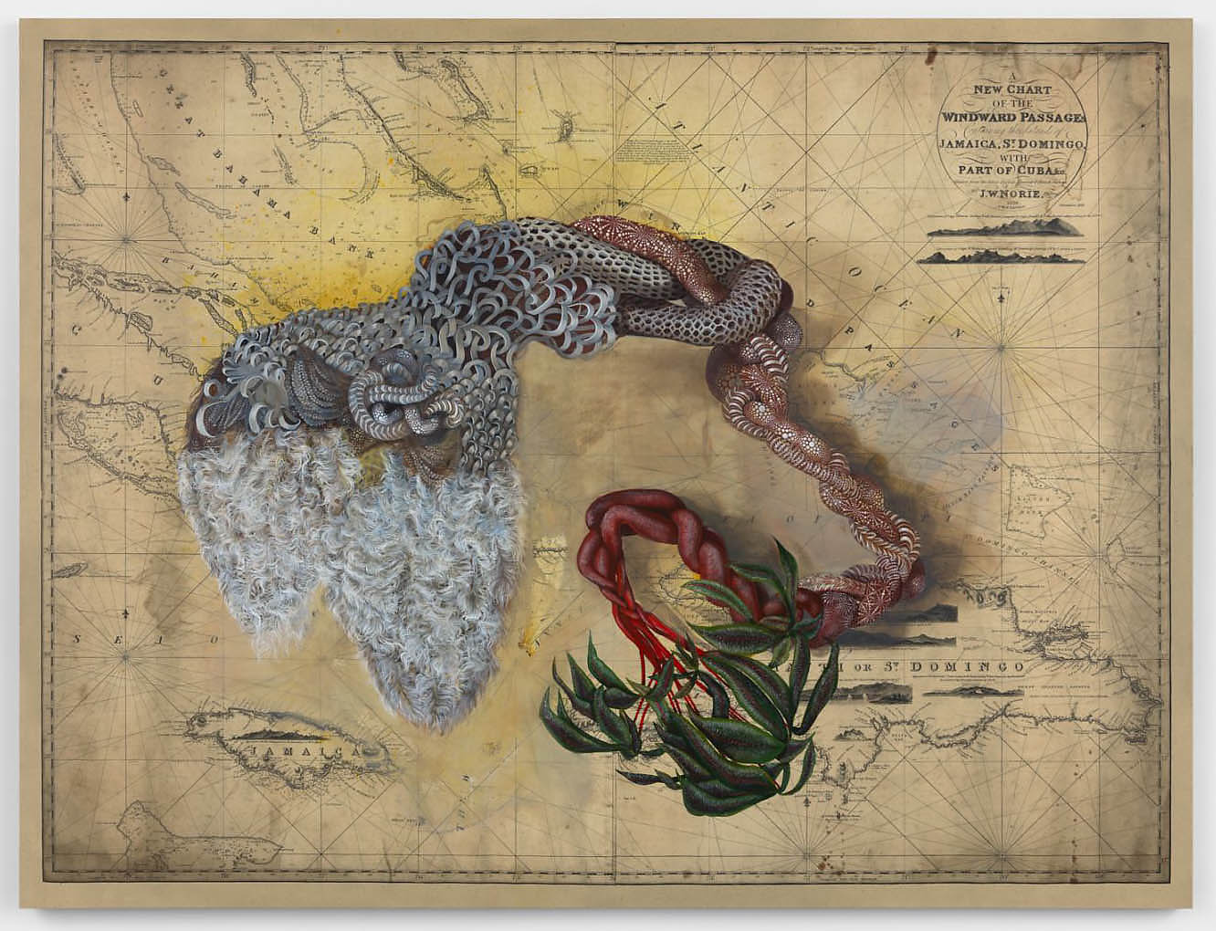

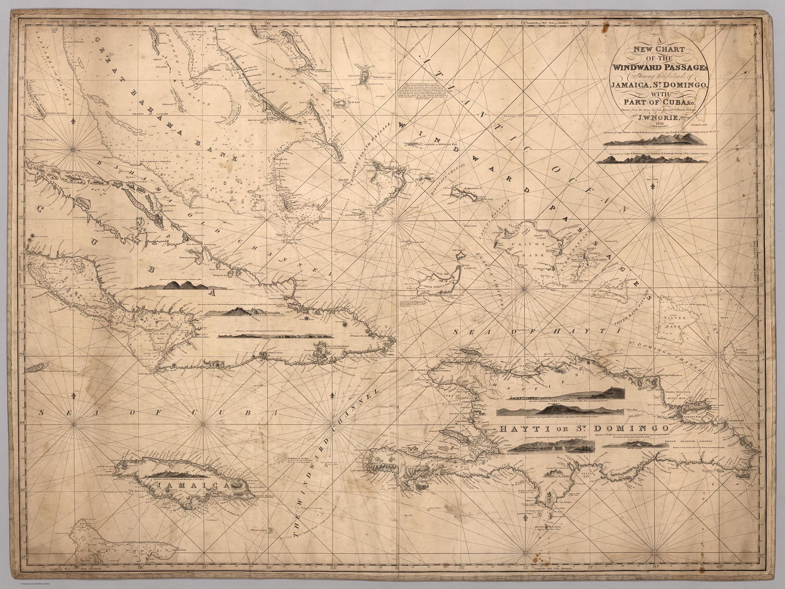
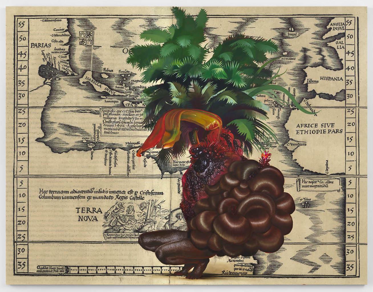
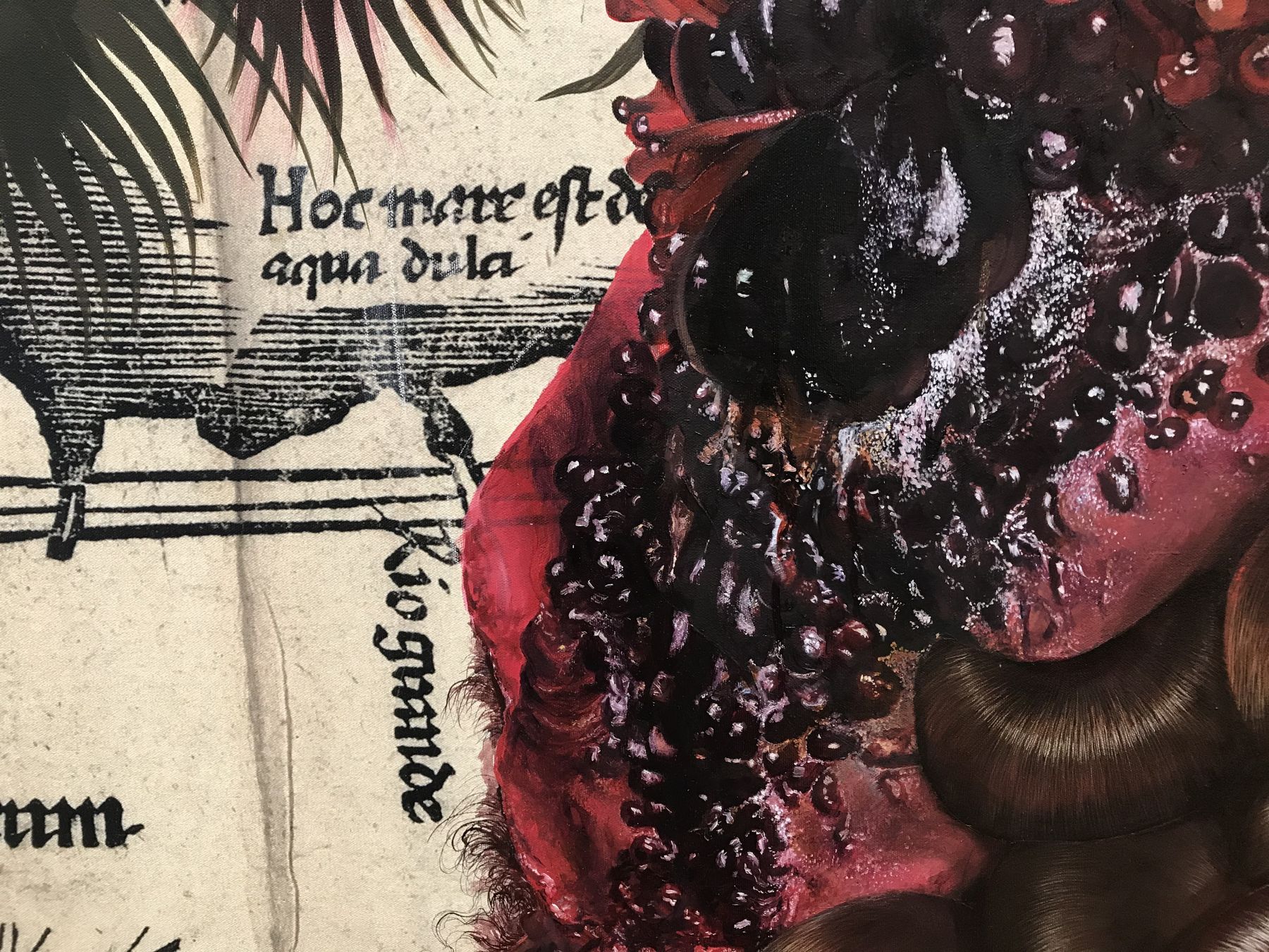
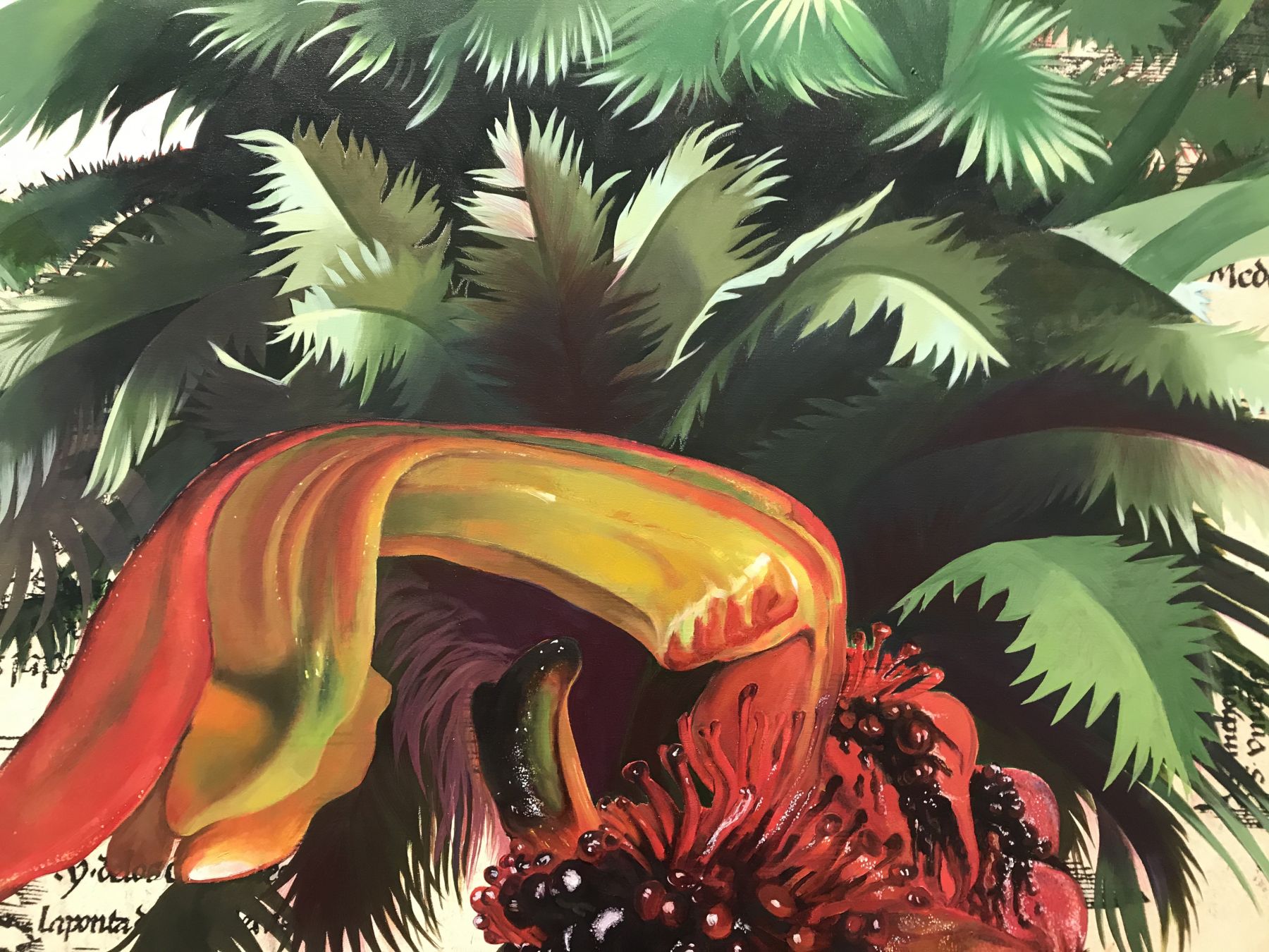
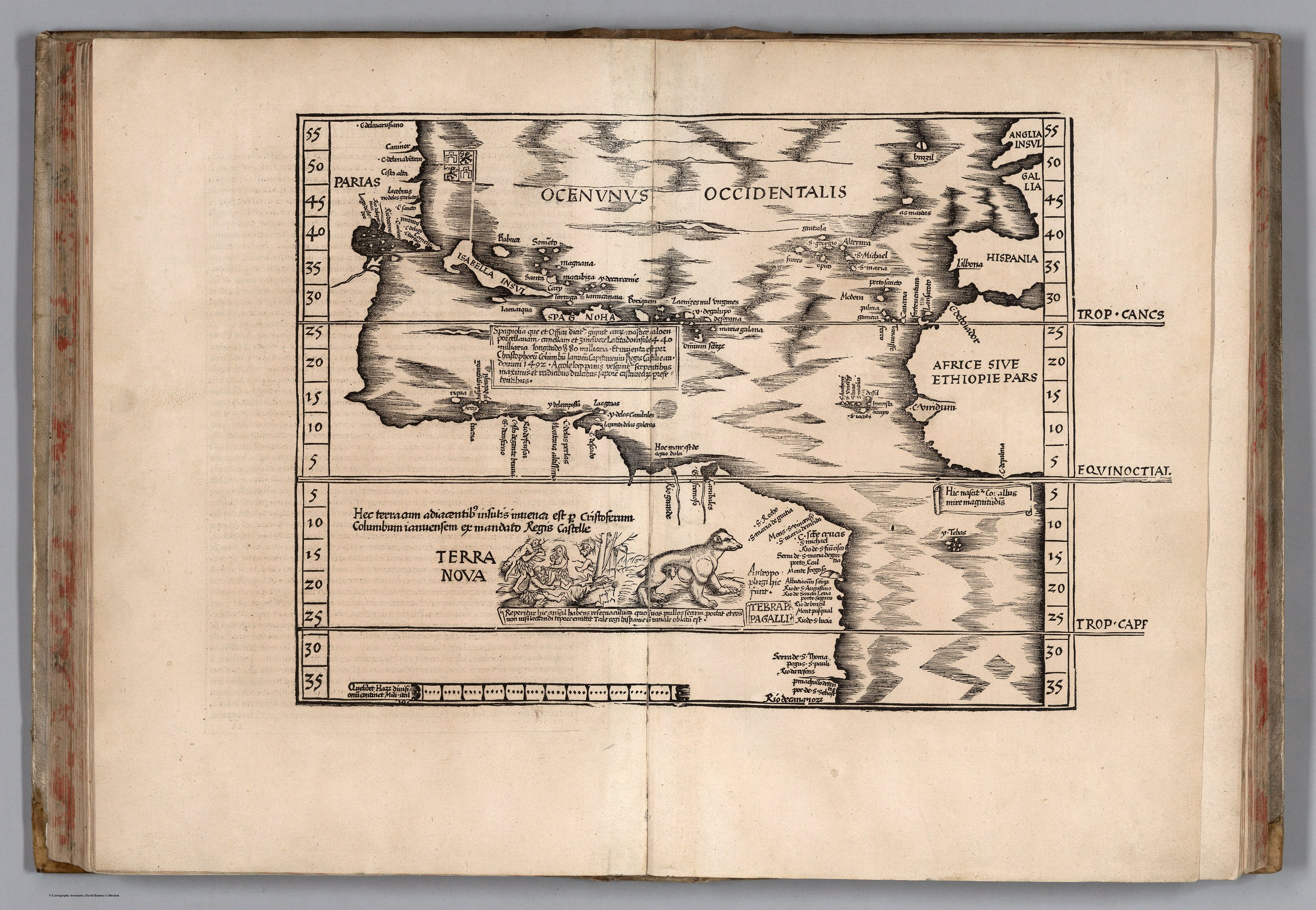

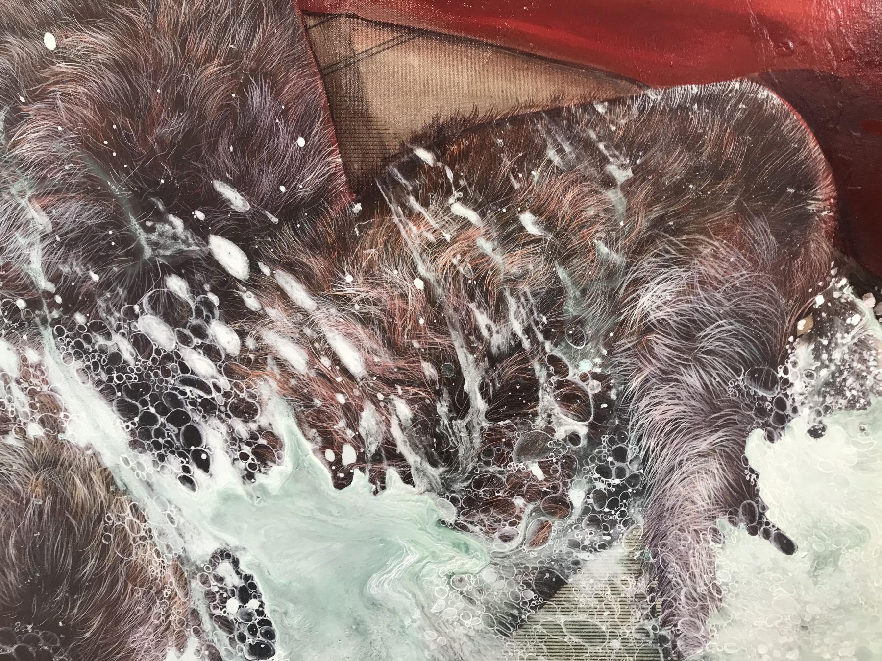
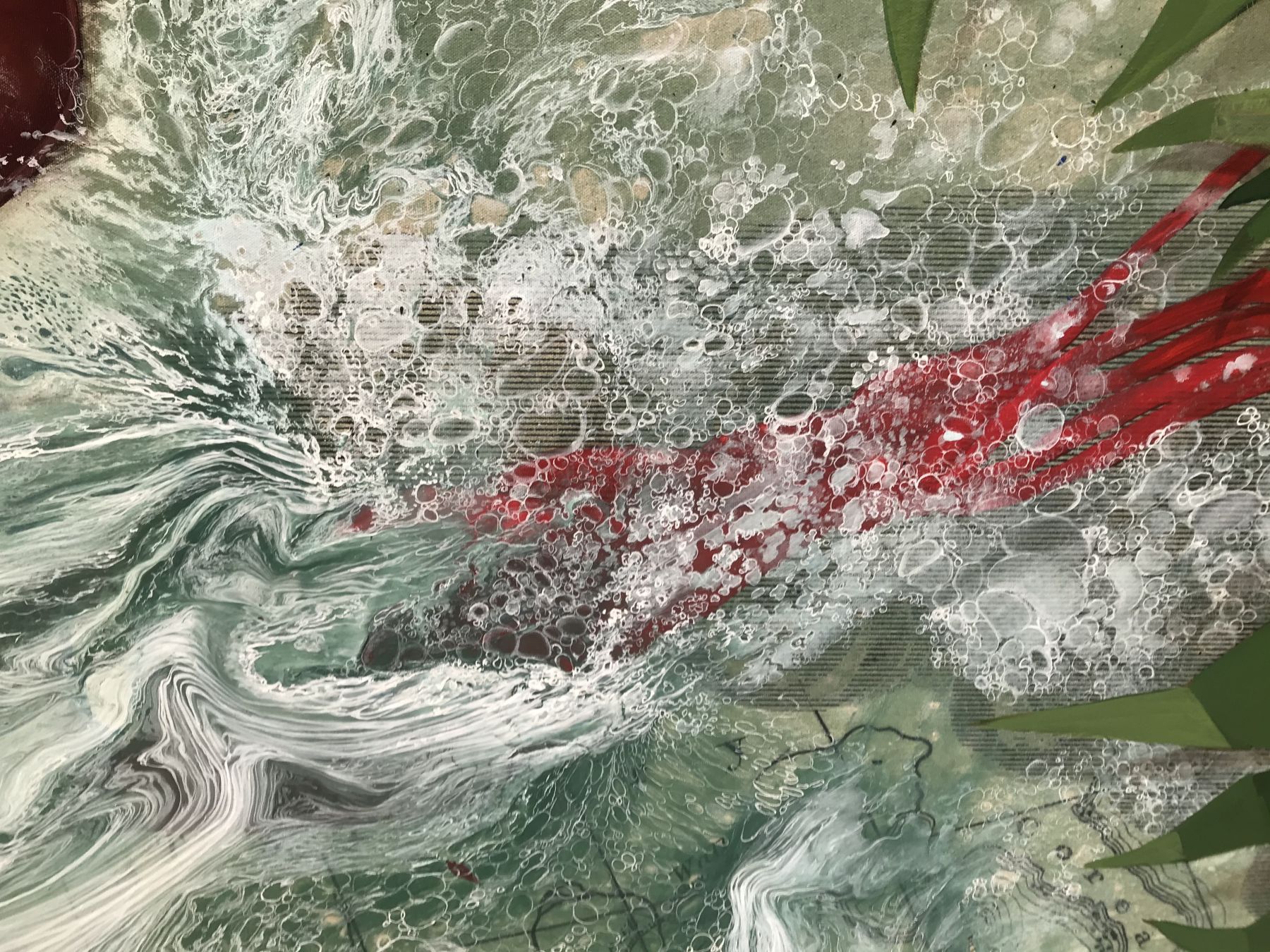
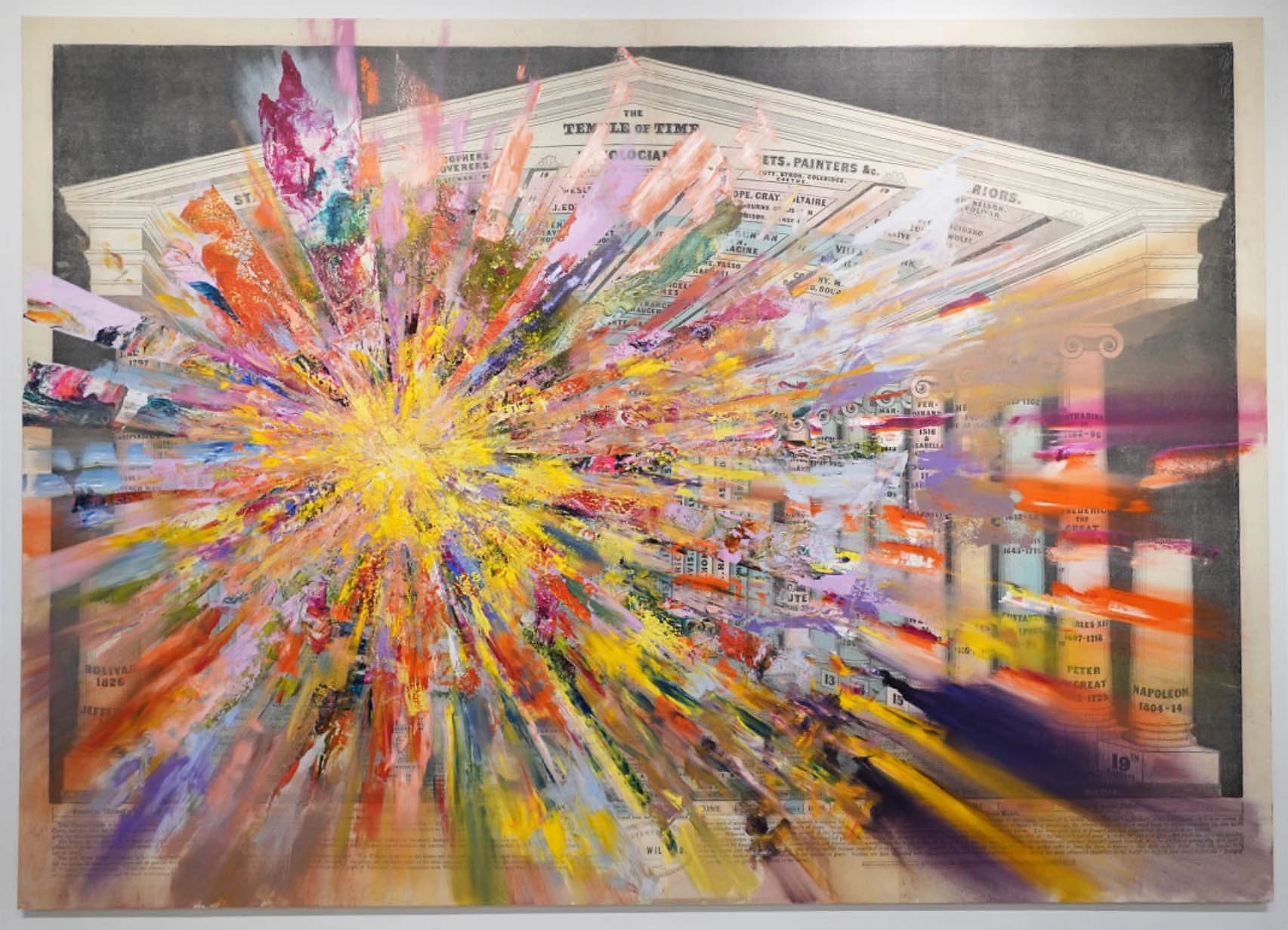
In its booth at the 2020 Armory Show in New York, the James Cohan Gallery had this additional work by Báez, Untitled (Temple of Time):
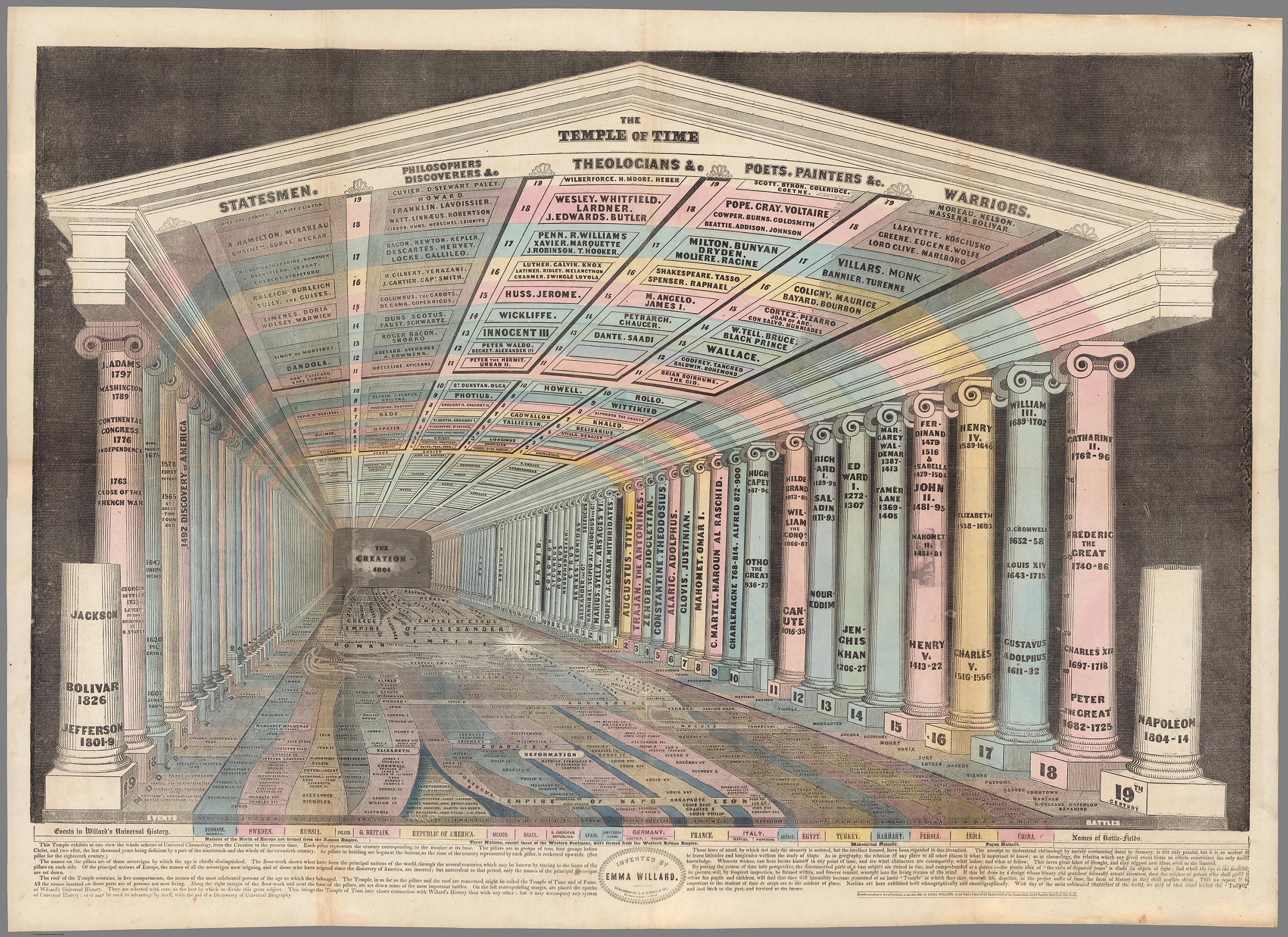
The complete press release for the Firelei Báez exhibition may be read here. All images of the art works courtesy the artist and James Cohan Gallery.
- News
- June 7, 2011
New Geographical Search by MapRank Viewer
The new MapRank Search viewer enables geographical searching of the collection by map location and coverage, in a Google Map window. Pan and zoom the Google Map to the area of the world you want maps of, and the results will automatically appear as a scrollable list of maps with thumbnail images in the right side results window. The maps in the right side results list are ranked by coverage, with the maps that have coverage closest to your search window listed at the top. Maps lower in the list show the area of interest, but with coverage that does not match as closely. Mousing over any map in the list will show the map's coverage as a light red rectangle on top of the Google Map. Clicking on a map in the list will open it in the Luna Browser. You can filter your results with the When timeline, the What or Who keyword text window, and the Map scale windows, as well as search by place name in the Find a place window. Currently about 12,000 online maps are searchable with MapRank search; soon all the 27,000 online maps will be included. Launch MapRank Search.
Below is the MapRank Search viewer zoomed in to find maps of San Francisco, with the 1904 "San Francisco Intensity of Earthquake" map highlighted in red in the results list and with the area covered by the earthquake map shown in light red on the Google Map:

The MapRank Search viewer finding maps of San Francisco, California
Clicking on the thumbnail or title of a map in the list opens it in the Luna Browser with a zoomable image and description:

1904 "San Francisco Intensity of Earthquake" map image in the Luna Browser
Zooming out in the Google Map selection window instantly changes the search results to find maps with similar coverage, here the San Francisco Bay Area and Central California:

Zooming out from San Francisco changes the results list to show maps of Central California and the San Francisco Bay Area
Zooming out further in the Google Map window changes the map results again to maps of California:

Another zoom out level finds maps of the State of California
Here the Google Map is set to find maps of the American West:

Maps of the entire American West are found with this Google Map window
Zooming out and panning east finds maps of the entire United States:

The Google Map window changed to find Unites States maps
Zooming out again finds maps of North and South America:

Maps of North and South America are show with this search view
Finally, zooming out to the full extent in the Google Map window finds maps of the entire World:
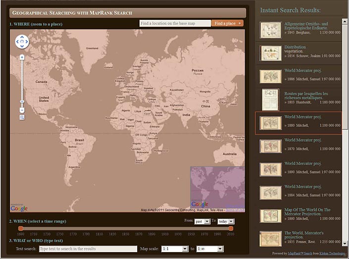
World maps shown in this zoom level
The WHEN time range line allows changing the dates of the results, here from 1690 to 1795 for the same set of World maps:
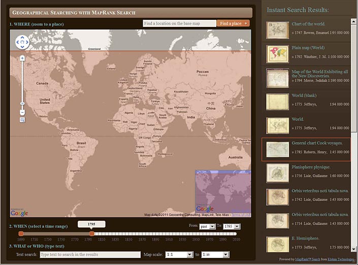
Using the WHEN time range to further filter results to World maps from the period 1690 to 1795
The Map scale boxes are used to limit the range of scales of the search, here set at 1:2,500 to 1:2.5 mil. This setting will show maps with smaller coverages that fall within the Google Map at the top of the list:
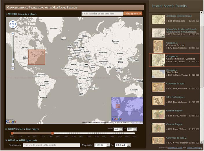
Maps of areas inside the Google Map are found by limiting Map scale at 1:2,500 to 1:2.5 mil
The Find a place box is used here to zoom the Google Map to find maps of Paris, France:

Using the Find a place box to zoom to maps of a place, here Paris, France
The WHAT or WHO box is used to further limit results to maps of Paris by Guillaume De Lisle:
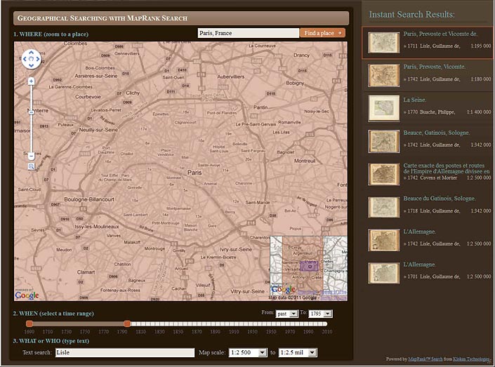
Maps of Paris before 1795 by De Lisle with scale between 1:2,500 and 1:2.5 mil
Zooming out to show all of France finds maps by De Lisle of French provinces, still limited by time and scale:

Keeping the same limits of time, scale, and De Lisle, the Google Map is zoomed out and the results are changed again
Finally, keeping the same limits but panning the map to Italy finds maps of Italy by De Lisle with the same time and scale constraints:

De Lisle Maps of Italy from 1690 to 1795 with scale of 1:2,500 to 1:2.5 mil are shown
This new MapRank search interface allows geographical and spatial searching of the map collection in a dynamic and fluid way. It will provide an entirely new experience of exploring our online map library, using a map to search the collection instead of relying on textual terms alone.
While the new search interface is largely complete, please let us know if you find any errors or problems. The bounding coordinates for the maps are correct in almost all cases, but there may be some maps with incorrect coordinate (coverage) data - please let us know if you find any and we will correct them. The MapRank search interface and program has been developed by Petr Pridal of Klokan Technologies.
- Featured Maps
- February 25, 2010
Cartouches, or Decorative Map Titles
Cartouches are the elaborate decorations that frame map titles and other information about the map. They add an artistic or symbolic narrative to the maps they describe. According to map historian Edward Lynam, cartouches that frame titles first appear on Italian maps in the 16th century. They persist on maps until the middle of the 19th century, going through many stylistic changes. Below are selected cartouches from maps in our collection, beginning in 1703 and ending in 1852. The cartouche styles in this 150 year period are remarkable for their diversity, symbolism, social commentary, and artistic beauty. Many of the cartouches appear to have iconographic meanings that may be lost to us today. Others are just wildly ornate, attempting to give the map they introduce a more arresting aspect. 50 cartouches are shown below; click on any of the images to see the larger maps that the cartouches embellish.
This first group of three cartouches are from Guillaume de Lisle's World Atlas of 1731:
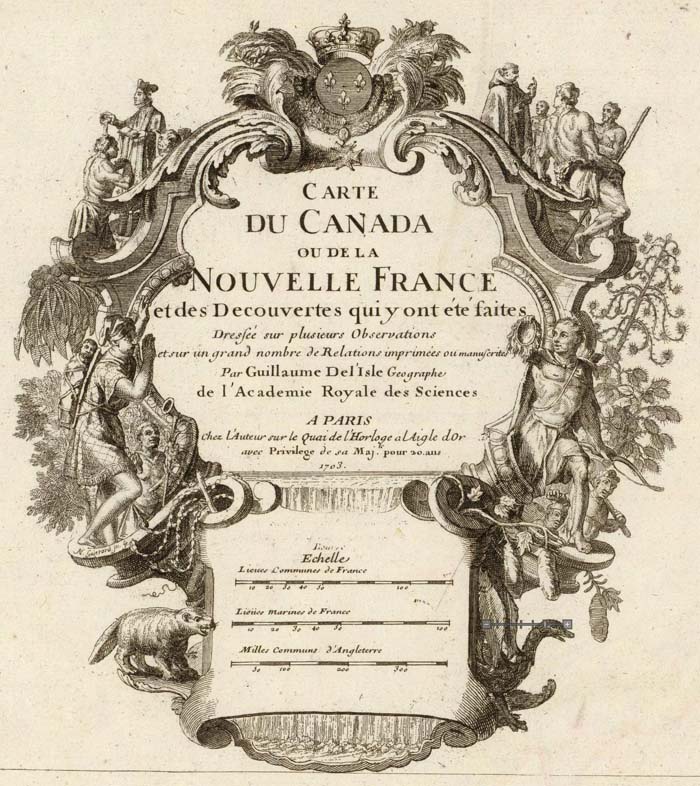
Carte du Canada ou de la Nouvelle France et des decouvertes que y ont ete faites; Guillaume de Lisle; 1708.
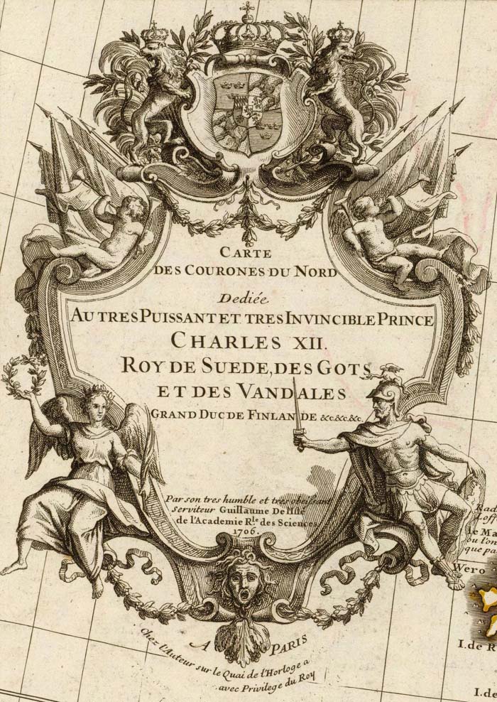
Carte des Courones du Nord. Dediee au tres puissant et tres invincible Prince Charles XII; Guillaume de Lisle; 1706.
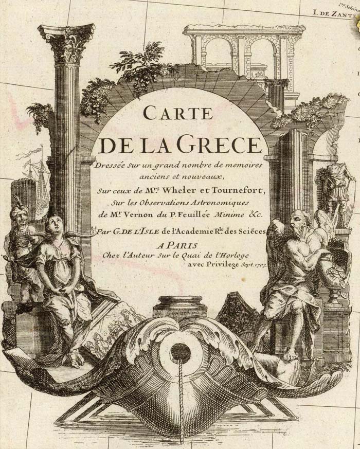
Carte de la Grece. Dressee sur un grand nombre de memoires anciens et nouveaux; Guillaume de Lisle; 1707.
Henry Popple's 1733 atlas Map of the British Empire in America features a cartouche remarkable for its mysterious symbolism, including a severed head of a (we assume European) man with an arrow sticking into it:

A Map of the British Empire in America with the French and Spanish Settlements adjacent thereto; Henry Popple; 1733.

A detail of the Henry Popple map cartouche showing the severed head with arrow, a crocodile, two monkeys, and female figure.

Another detail of the Henry Popple map cartouche showing a female figure with child, pointing to scenes of trade and commerce.
The large, ornate cartouche of John Mitchell's Map of the British and French Dominions in North America is shown below in the London edition, the Paris edition by Le Rouge, and the derivative Italian edition by Zatta:
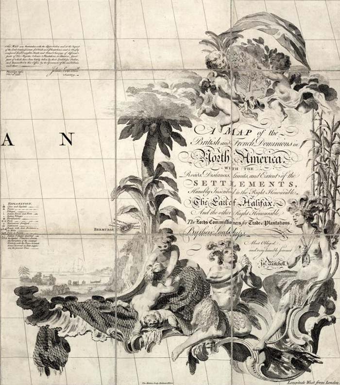
A Map of the British and French Dominions in North America ; John Mitchell; 1757 (London edition).

Amerique Septentrionale avec les Routes, Distances en miles, Limites et Establissements Francois et Anglais. Par le Docteur Mitchel; John MItchell; 1756 (Paris edition by Le Rouge).

Le Colonie Unite dell' America Settentrle; Mitchell, John; Raynal, G.T.; Zatta, Antonio; 1778 (Venice, Italy, edition by Zatta).
Here is the elegant map cartouche of the immense, nine sheet Plan of St. Petersburg 1753, with a depiction of and dedication to the Empress Elizabeth of Russia:
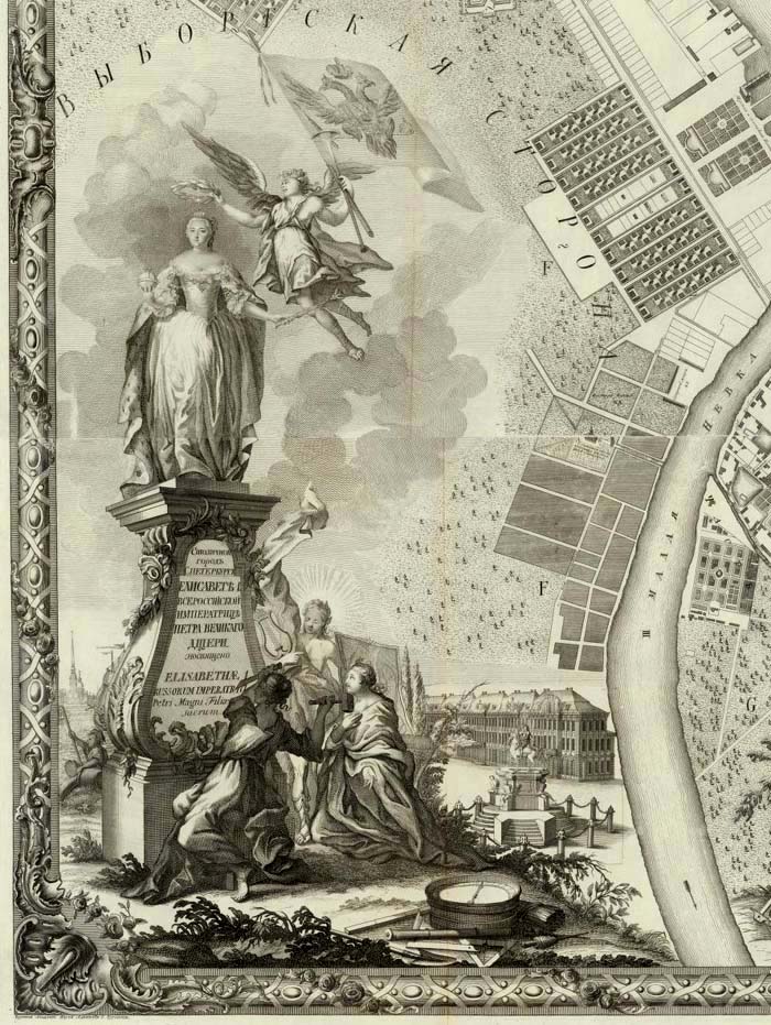
Plan stolichnago goroda Sanktpeterburga s izobraheniem znatiieshikh onago prospektov, izdannyi trudami Imperatorskoi Akademii nauk i khudozhestv. Plan de la ville de St. Petersbourg avec ses principales vues dessine & grave sous la direction de l'Academie imperiale des sciences et des arts; Akademiia nauk SSSR; 1753.
Five imaginative and artistic map cartouches from the Atlas Universel by Didier and Gilles Robert de Vaugondy, 1757:
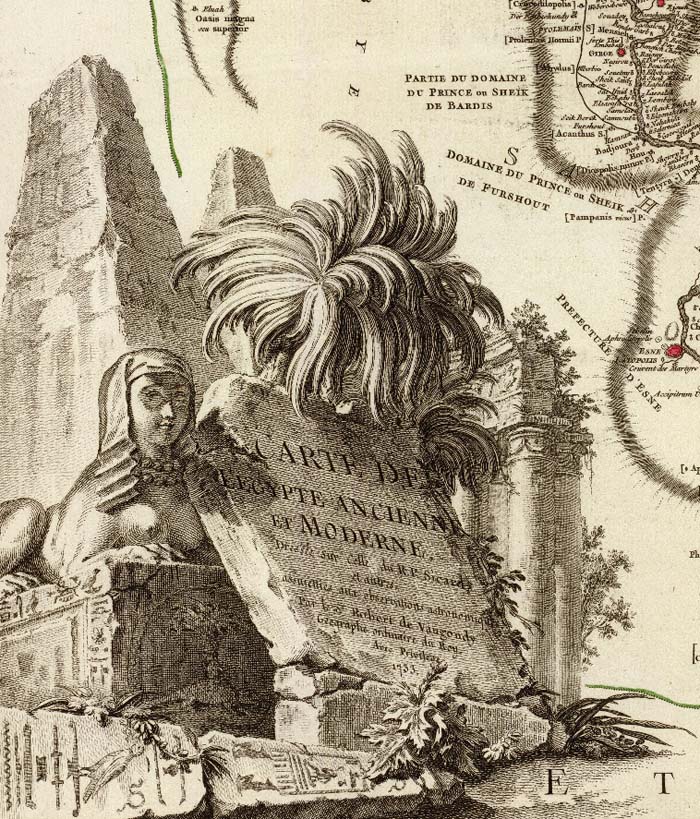
Carte de l'Egypte Ancienne et Moderne; Didier and Gilles Robert de Vaugondy; 1753.
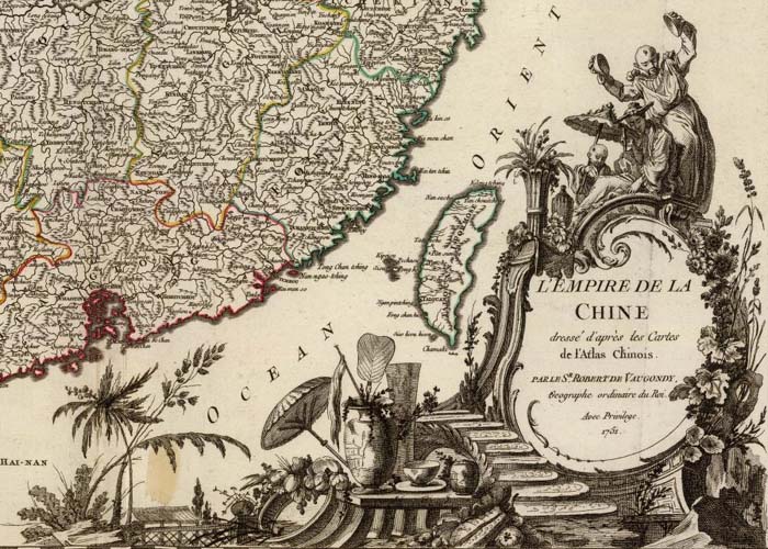
L'Empire de la Chine, Dresse d'apres les cartes de l'Atlas Chinois; Didier and Gilles Robert de Vaugondy; 1751.
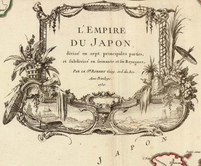
L'Empire du Japon; Didier and Gilles Robert de Vaugondy; 1750.

Nouvelle France ou le Canada; Didier and Gilles Robert de Vaugondy; 1755.

Etats du Grand-Seigneur en Asie, Perse, Pays des Usbecs, Arabie; Didier and Gilles Robert de Vaugondy; 1753.
Thomas Jefferys used cartouches showing scenes of commerce and landscape in many of the maps in his American Atlas, published after his death by Sayer and Bennet in 1776, three of which are shown below:

A Map of the most Inhabited part of New England; Thomas Jefferys; 1776.
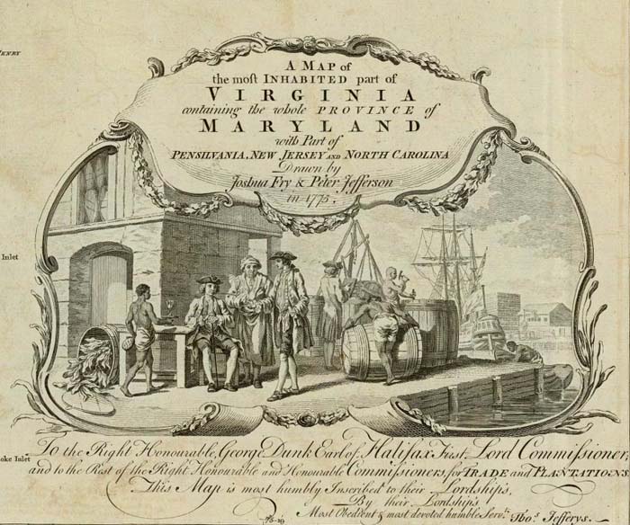
A Map of the most Inhabited part of Virginia; Thomas Jefferys; 1776.

The Provinces of New York, and New Jersey; with part of Pennsilvania, and the Province of Quebec; Thomas Jefferys; 1776.
Some of Thomas Jefferys' maps were also published posthumously by Kitchin, Laurie and Whittle in their New Universal Atlas of 1787, including this map of the Western Coast of Africa (derived from a French map by D'Anville) with a cartouche full of various African themes:

The western coast of Africa from Cape Blanco to Cape Virga; Thomas Jefferys; 1789.
Even Thomas Jefferys' trade-card was in the form of an elaborate cartouche:

Thomas Jefferys Engraver... (trade card advertisement); Thomas Jefferys; 1750.
James Cook's 1773 map of South Carolina has a cartouche that follows Jefferys' themes of colonial enterprise, nature, and indigenous peoples:
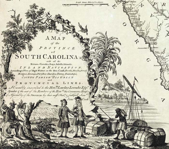
A Map of the Province of South Carolina; James Cook; 1773.
The four cartouches below using engraved Baroque style frames are from maps in Thomas Kitchin's General Atlas of 1790:

England and Wales; John Rocque; 1790.

Map of the Empire of Germany; Louis Stanislas d'Arcy Delarochette; 1790.

A new map of North America, with the West India Islands; Thomas Pownall; 1786.

A map of South America; Thomas Kitchin; 1787.
William Faden's General Atlas of 1811 included the four map cartouches below, placing titles in buildings, on mountains and rocks, and adding humorous elements (as on the map of Turkey in Europe):
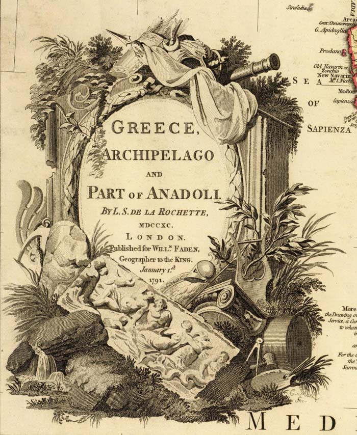
Greece, Archipelago and part of Anadoli; Louis Stanislas d'Arcy Delarochette, William Faden; 1791.

Nouvelle carte de la Suisse; William Faden; 1799.

A map of Bengal, Bahar, Oude & Allahabad; James Rennell, William Faden; 1786.

European dominions of the Ottomans, or Turkey in Europe; William Faden; 1795.
Aaron Arrowsmith, London map publisher, used cartouches on many of his wall maps, including depictions of Niagara Falls, the tropics, and portraits of explorer Captain James Cook:

A map of the United States of North America; Aaron Arrowsmith; 1802.

Map of America; Aaron Arrowsmith; 1811.
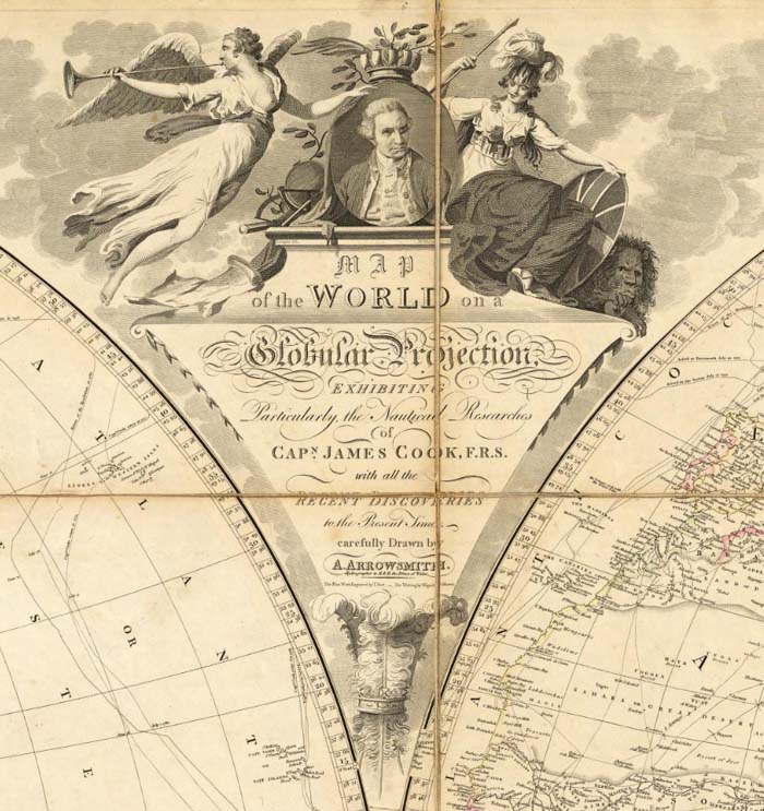
Map of the World on a Globular Projection; Aaron Arrowsmith; 1808.
American map publishers used modest cartouches starting in the late 18th century and gradually developed more elaborate ones in the first half of the 19th century:

Vermont From actual Survey Delineated & Engraved by Amos Doolittle; Mathew Carey; 1795.

Connecticut From the best Authorities. Delineated & Engraved by A. Doolittle; Mathew Carey; 1796.

Map Of Massachusetts; Osgood Carleton; 1801.

New Hampshire; Philip Carrigain; 1816.

To The Citizens Of Philadelphia This New Plan Of The City And Its Environs Is respectfully dedicated By the Editor; Charles P. Varle; 1802.

The State of New York with part of the adjacent States; John H. Eddy; 1818.

Map of Pennsylvania, constructed from the county surveys authorized by the State; John Melish; 1826.
Samuel Lewis' simple illustration of a traveler with his dog form the title cartouche for his 1819 map of the United States:
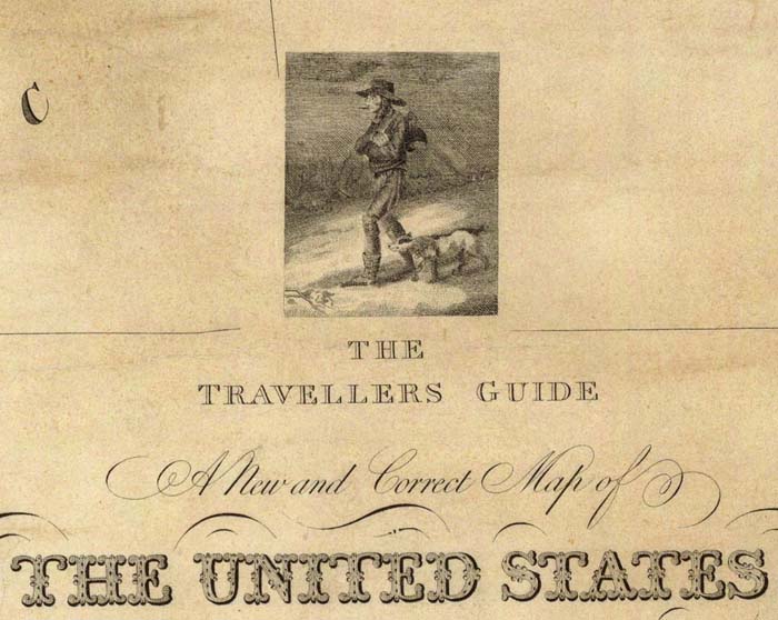
The travellers guide. A new and correct map of the United States; Samuel Lewis; 1819.
Joseph Bouchette's maps of Canada were surveyed and drawn by him in Canada, but printed in London by William Faden. The cartouches for two of the maps below are extremely ornate, probably reflecting the influence of Faden:
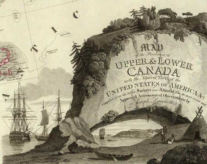
Map of the Provinces of Upper & Lower Canada with the adjacent parts of the United States of America; Joseph Bouchette, William Faden; 1815.

Topographical map of the Province of Lower Canada; Joseph Bouchette, William Faden; 1815.
Philadelphia map publisher Henry Tanner used scenes of the American landscape in his panoramic cartouches for his maps of North America, New England, and the United States:

A Map of North America; Henry Tanner; 1823.

Map Of The States Of Maine, New Hampshire, Vermont, Massachusetts, Connecticut & Rhode Island; Henry Tanner; 1823.

United States of America; Henry Tanner; 1829.
Smaller, independent American map publishers produced some interesting variations. This pocket map of Ohio by Columbus, Ohio map publisher Hiram Platt has an unusual cartouche:

Ohio; Hiram Platt; 1825.
S.A. Mitchell and James H. Young of Philadelphia used landscape and commerce as the themes for this cartouche:

Map Of The United States; Samuel Augustus Mitchell, James H. Young; 1831.
Even American school atlas maps had cartouches, as shown in this map from Thomas Smiley's Atlas of 1842:
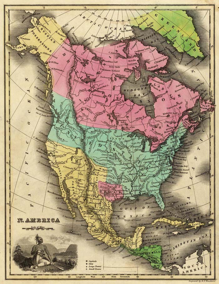
N. America; Thomas T. Smiley; 1842.
By the middle of the 19th century, map cartouches were incorporating actual views of cities or landscapes into the maps to add decoration to the titles, as in this map of Naples, Italy and the one below it of North America:
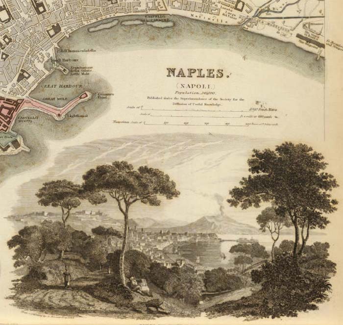
Naples. Napoli.; Society for the Diffusion of Useful Knowledge: 1844.

Map of North America; J.H. Colton; 1852.
The use of views to embellish maps largely replaced decorative cartouches after 1850. In a sense, the illustrated cartouche now wraps the entire map, not just the title. Three examples are shown below, the first from the Illustrated Atlas of 1851 by Martin and Tallis:

Ceylon; R.M. Martin, J & F. Tallis: 1851.
An even more ornate example of map illustration is this map from Levasseur's Atlas National Illustre des 86 Departments et des Possessions De La France from 1856:

Dept. De Corsica; Victor Levasseur; 1856.
The final example of the use of views is this map from Fullarton's Royal Illustrated Atlas of 1872, one of the last of the decorative atlases published in the 19th century:

British Possessions on the North East Coast of South America; A. Fullarton & C0.; 1872.
This entire group of cartouches and the maps they are taken from can be seen as a slide-show or as a group. For further reading, especially on the early period of map cartouches from the 16th and 17th centuries, see Edward Lynam's discussion of cartouches in his 1953 Mapmaker's Art (PDF).
- Recent Additions
- July 1, 2000
July 1, 2000 - 706 New Maps Added
 |
Highlights from 706 New Maps added to the David Rumsey Collection. All titles may be found by searching under Search/by Publication Author using the author names below. Or click here to view all 706 new maps. |
London Atlas, 1844
John Arrowsmith
65 maps, including his Map of Texas and 4 important maps of Australia and New Zealand.
Complete System of Geography, 1747
Emanuel Bowen
70 maps, including 18 early maps of North and South America and the West Indies.
Illustrated Atlas of the United States, 1838
Thomas Bradford
39 maps, with his important Map of Texas, and Map of Iowa and Wisconsin.
American Pocket Atlas, 1796
Mathew Carey
19 maps, the first American pocket atlas.
Map of New Hampshire, 1816
Phillip Carrigain
Huge and detailed.
Map of Louisiana, 1816
William Darby
Important, early map published by Melish.
Atlas de Geographie, 1731
Guillaume DeLisle
94 maps. The second Paris edition of this important world atlas. Includes many early maps of France, plus important early maps of the Americas, including his Carte de la Louisiane, 1718.
New American Atlas, 1826
Anthony Finley
15 maps.
Province of Nova Scotia (Cape Breton Island), 1884
Geological Survey of Canada
24 highly detailed cultural and geological maps of Cape Breton Island.
New Universal Atlas, 1840
Jeremiah Greenleaf
64 maps. Includes his Map of Texas and Map of Oregon Territory.
Map of the State of Pennsylvania, 1792 and 1811
Reading Howell
The 1792 map is Howell's large and important wall map of the state; the 1811 edition is a smaller pocket map version.
West-India Atlas, 1788
Thomas Jefferys
40 maps. Includes a digital composite map of the entire 15 sheet map of the West Indies.
New Illustrated Family Atlas, 1860
A.J. Johnson
55 maps. The first edition.
Map of Cabotia, 1814
John Purdy
Huge wall map detailing Canada and the US Northeast.
Hand Atlas, 1875
Adolf Stieler
89 maps. Perhaps the most highly detailed world atlas published in the 19th century.
- Featured Maps
- March 31, 2015
Over 2,000 Pictorial Maps in Online Collection
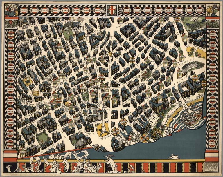
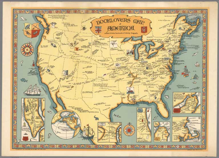
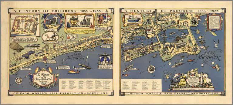
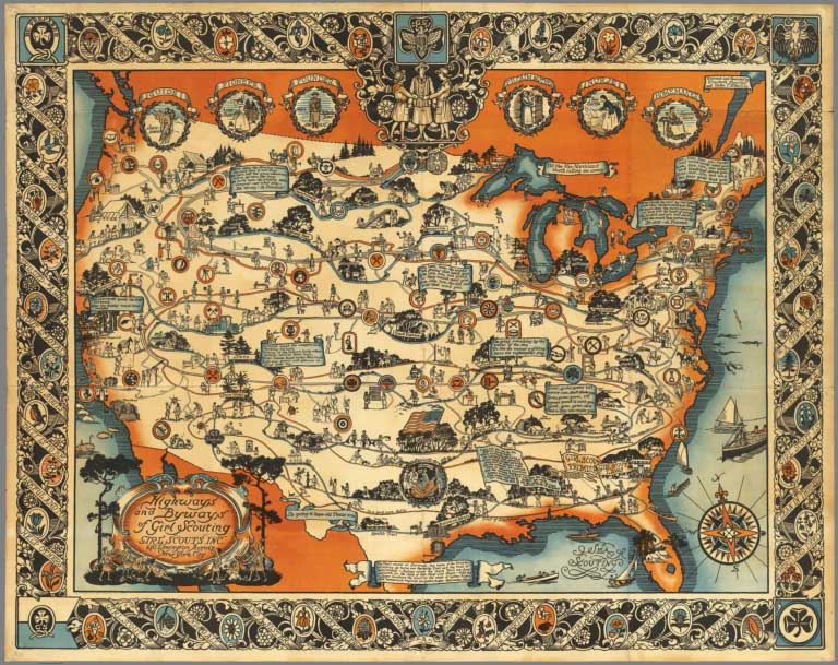
Over 2,000 Pictorial maps and related images have been added to the David Rumsey Map Collection in the form of separate maps, pocket maps, case maps, atlases, manuscript maps, and wall maps. Pictorial maps are generally described as maps that employ various kinds of illustrations, images, and text that enhance the cartographic message. While they seem to have peaked in popularity in the 1920 to 1940 period, they have antecedents in the 19th and earlier centuries and the form continues today. We will be continuing to add more pictorial maps to the collection, and this link will automatically update with the new maps. We are broad in our definition of pictorial maps, and include in that category certain panoramic and birds-eye maps, diagrammatic maps, and timelines. Some of the more prolific or exceptional pictorial map makers are detailed below. Highlights in this addition are pictorial maps by MacDonald Gill, Ernest Dudley Chase, Ashburton Tripp, Jo Mora, Ruth Taylor White, Lucien Boucher, Gerald Eddy, Miguel Covarrubias, Heinrich Berann, Ernest Clegg, Karl Smith, Edwin Olsen, Stanley Turner, Coulton Waugh, Everett Henry, Lindgren Brothers, Don Bloodgood, Colortext Corp, Frank Dorn, C.V. Farrow, Richard Edes Harrison, Alva Scott Garfield, Elizabeth Shurtleff, Tony Sarg, Louise Jefferson, Harrison Godwin, and Courtland Smith. A group of original pictorial map catalogs is also included. For more information on pictorial maps, see writings of Elisabeth Burdon, George Glazer, Roderick Barron, Wikipedia, and Library of Congress.
View Pictorial Maps Sorted by Date
View Pictorial Maps Sorted by Author
View All Pictorial Maps in the Collection, Including New Additions
 |
Pictorial Maps by MacDonald Gill, 1915 to 1947 |
 |
Pictorial Maps by B. Ashburton Tripp, 1925 to 1954 |
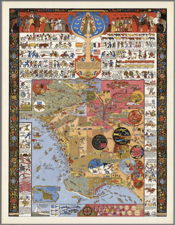 |
Jo Mora Pictorial Maps, 1926 to 2007 |
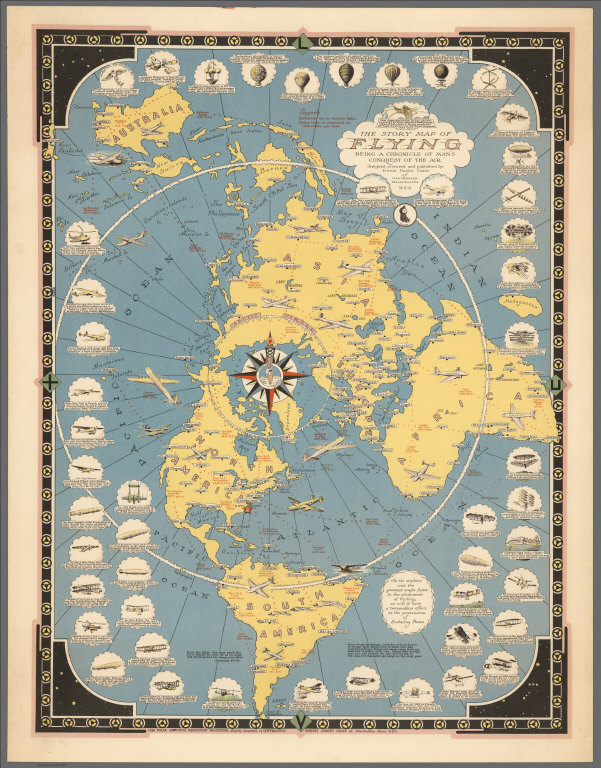 |
Pictorial Maps by Ernest Dudley Chase, 1931 to 1965 |
 |
Picture Map Geography of the United States, 1931 (with) Picture Map Geography of South America, 1941 |
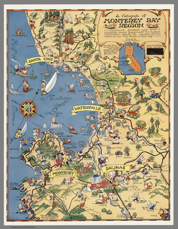 |
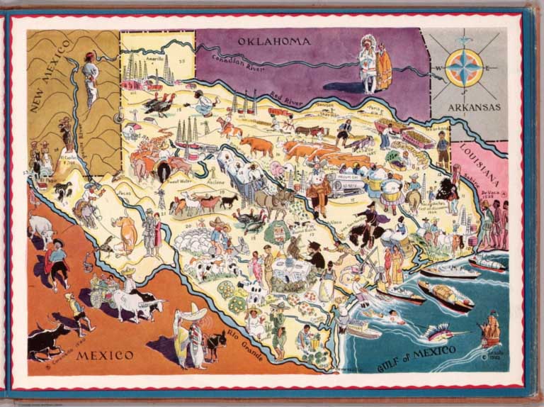
Atlas and Maps by Ruth Taylor White, 1929 - 1941 |
 |
Berta and Elmer Hader's Picture Book of the States, 1932 |
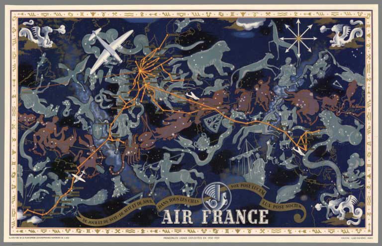 |
Pictorial Maps by Lucien Boucher, 1934 to 1962 |
 |
Gerald A. Eddy Pictorial Maps, 1933 to 1965 |
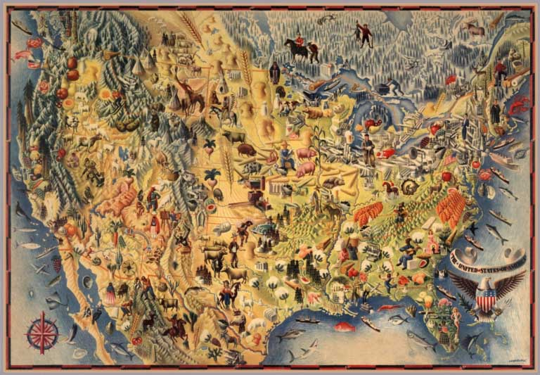 |
Pictorial Maps by Miguel Covarrubias, 1940 to 1942 |
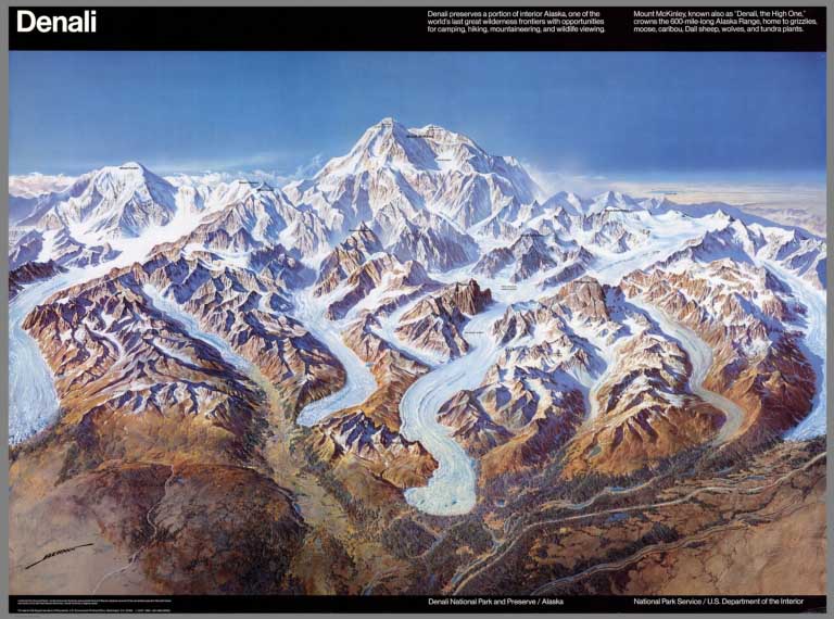 |
Pictorial Maps by Heinrich Berann, 1936 to 1995 |
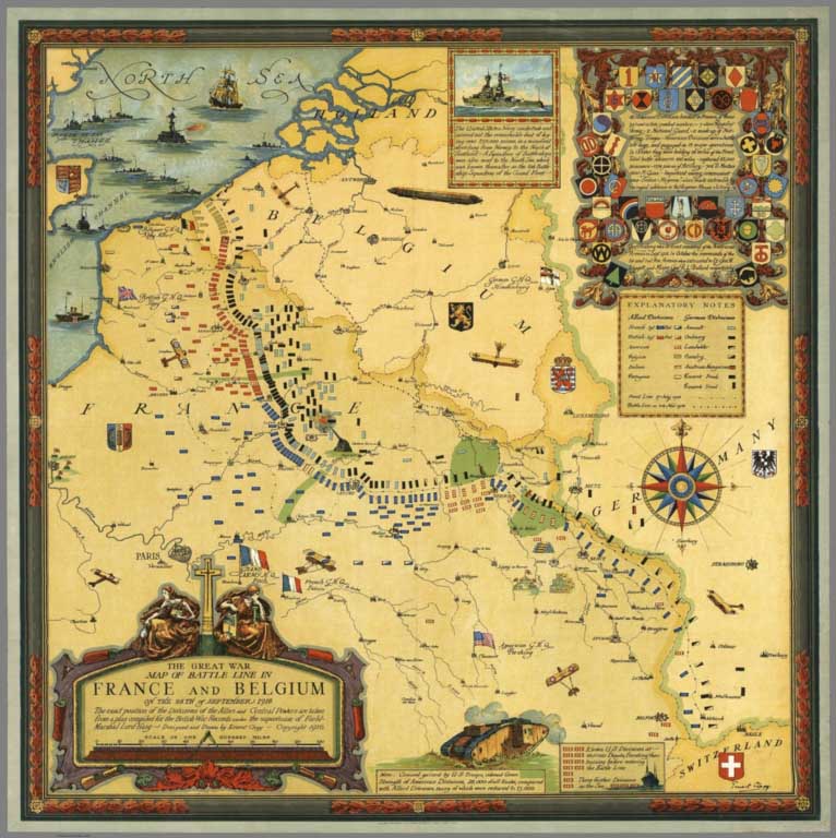 |
Ernest Clegg Pictorial Maps, 1926 to 1947 |
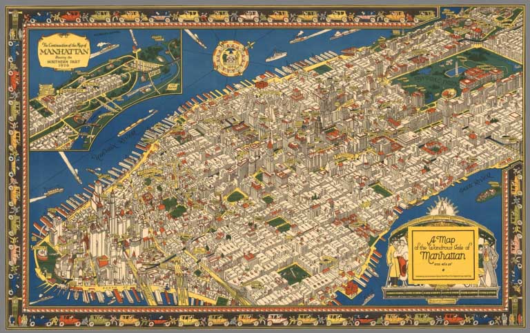 |
Pictorial map of Manhattan by C.V. Farrow, 1926 |
 |
Pictorial Maps by Karl Smith, 1933 to 1959 |
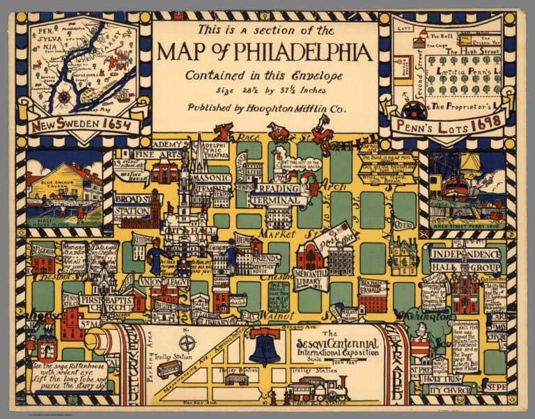 |
Edwin Olsen and Blake Clark Pictorial Maps, 1926 |
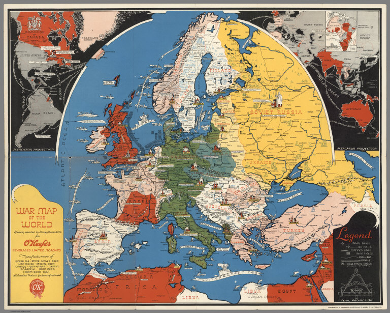 |
Pictorial Maps by Stanley Turner and C.C. Petersen, 1942 to 1969 |
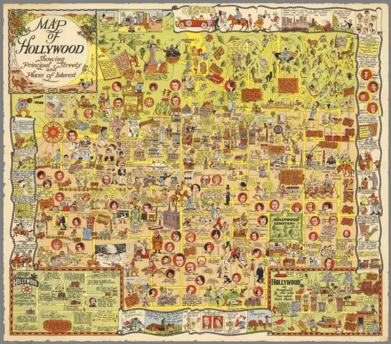 |
Pictorial Maps by Harrison Godwin, 1927 and 1928 |
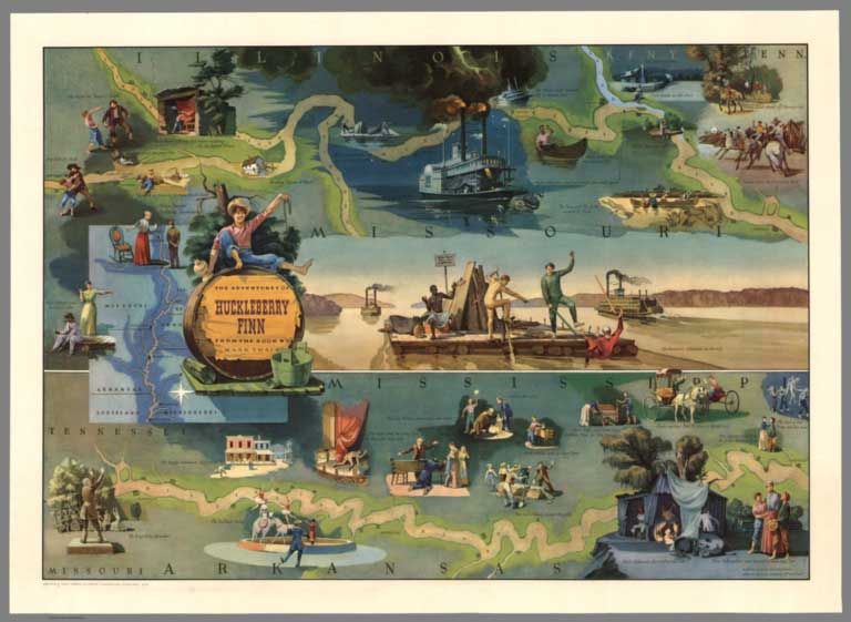 |
Pictorial Maps by Everett Henry, 1928 to 1981 Everett Henry designed maps with literary themes: Moby Dick, Huckleberry Finn, Ivanhoe, Tale of Two Cities, Robin Hood, Treasure Island, and others. |
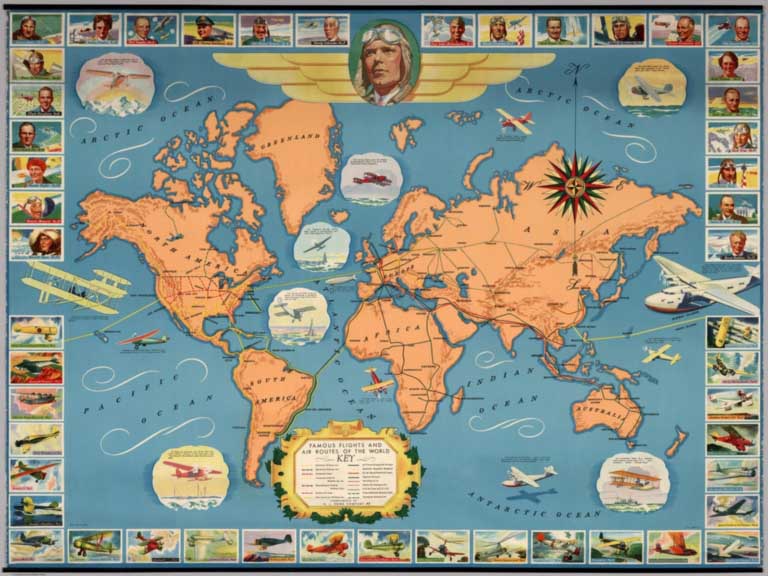 |
Famous flights and air routes of the world. Complement of H.J. Heinz Company 57, 1937 |
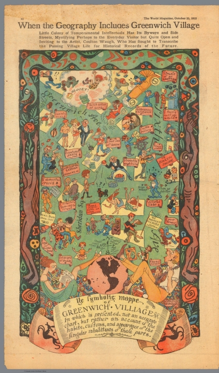 |
Pictorial Maps by Coulton Waugh, 1922 to 1930 |
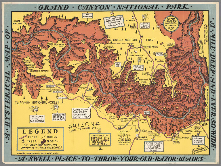 |
Pictorial Maps by Lindgren Brothers, 1936 to 1948 |
 |
Pictorial Maps by Don Bloodgood, 1935 to 1968 |
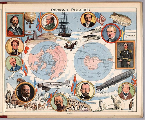 |
L'Epanouissement du Monde. (The Fulfillment of the World.) 1948 |
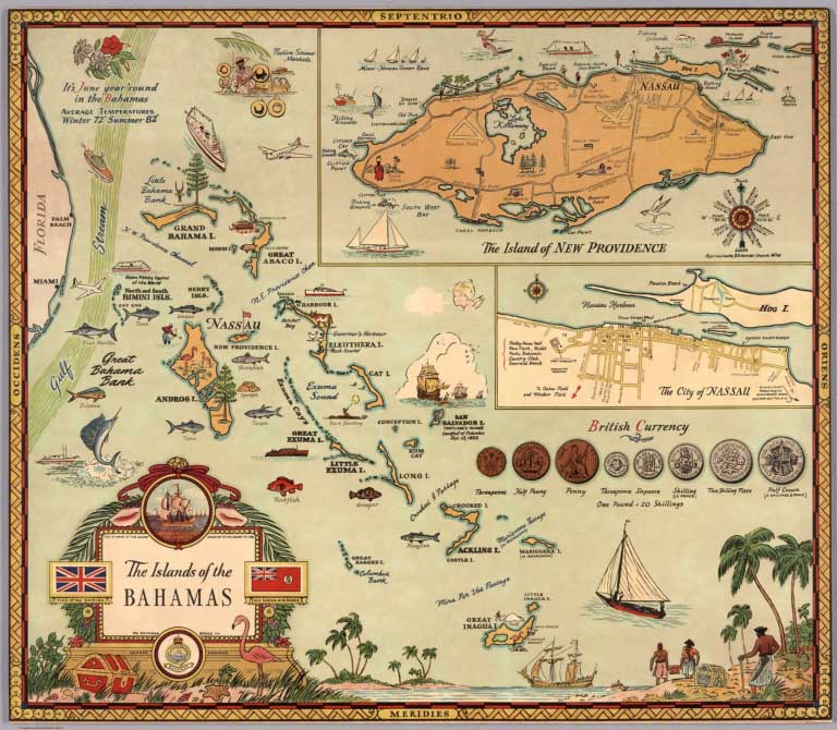 |
Pictorial Maps by George Annand, 1934 to 1951 |
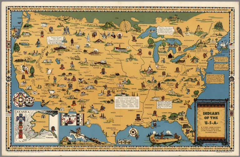 |
Pictorial Maps by Louise Jefferson, 1944 and 1945 |
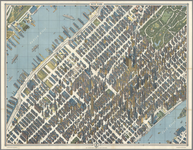 |
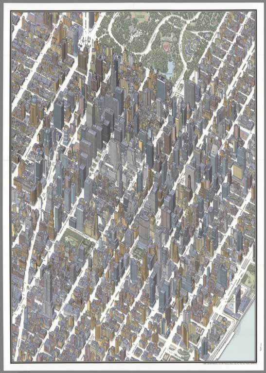
Urban Pictorial Maps by Hermann Bollmann, 1952 to 2014 |
 |
Isometric Maps by Tadashi Ishihara, 1982 - 2002 |
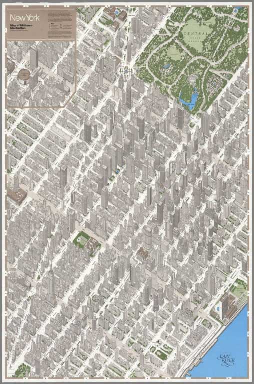 |
Maps of Manhattan, New York City, 1960 to 1985 |
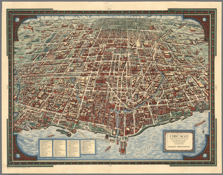 |
Colortext Pictorial Maps, 1935 to 1938 |
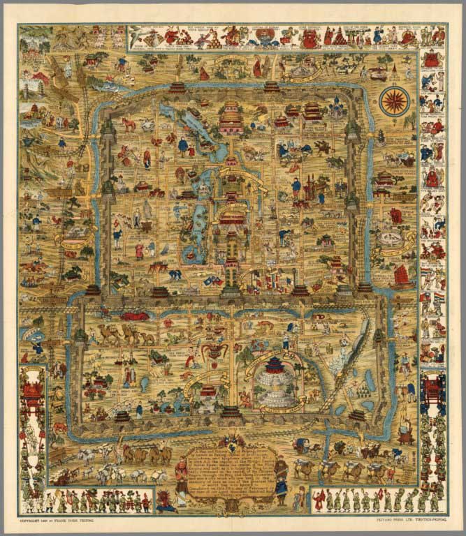 |
A Map and History of Peiping (Beijing). Explanatory Booklet. By Frank Dorn, Peiping. Lithographed and Published by The Peiyang Press, Ltd. Tientsin-Peiping. 1936 |
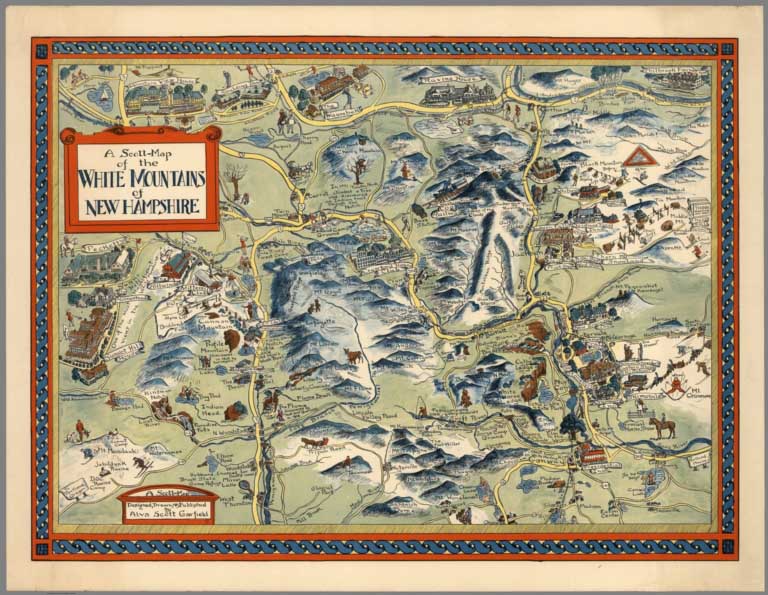 |
Pictorial Maps by Alva Scott Garfield, 1959 to 1960 |
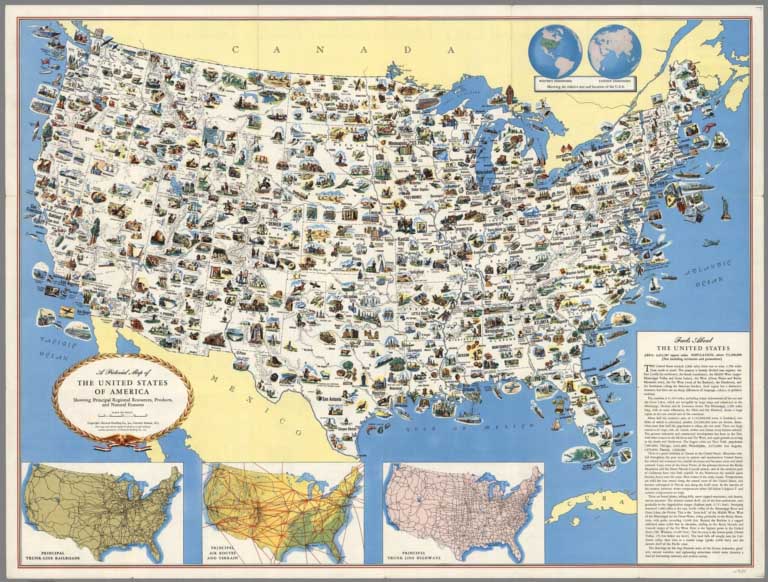 |
Pictorial Maps by General Drafting, 1932 to 1962 |
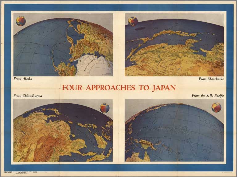 |
Pictorial Maps by Richard Edes Harrison, 1937 to 1947 |
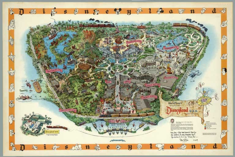 |
Disneyland Pictorial Maps by Sam McKim and others, 1958 to 2005 |
 |
Paul M. Paine Pictorial Maps, 1926 to 1939 |
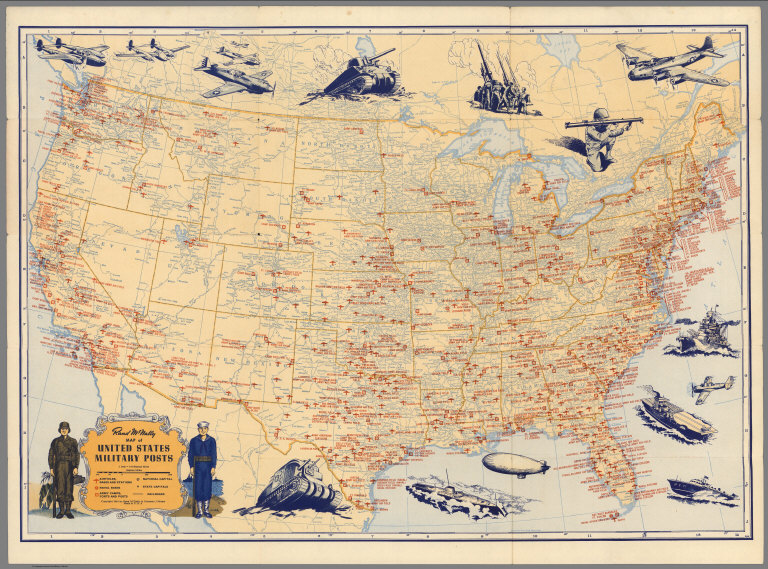 |
Pictorial Maps by Rand McNally, 1931 to 1962 |
 |
Pictorial Maps by Tony Sarg, 1933 to 1939 |
 |
Elizabeth Shurtleff Pictorial Maps, 1926 to 1930 |
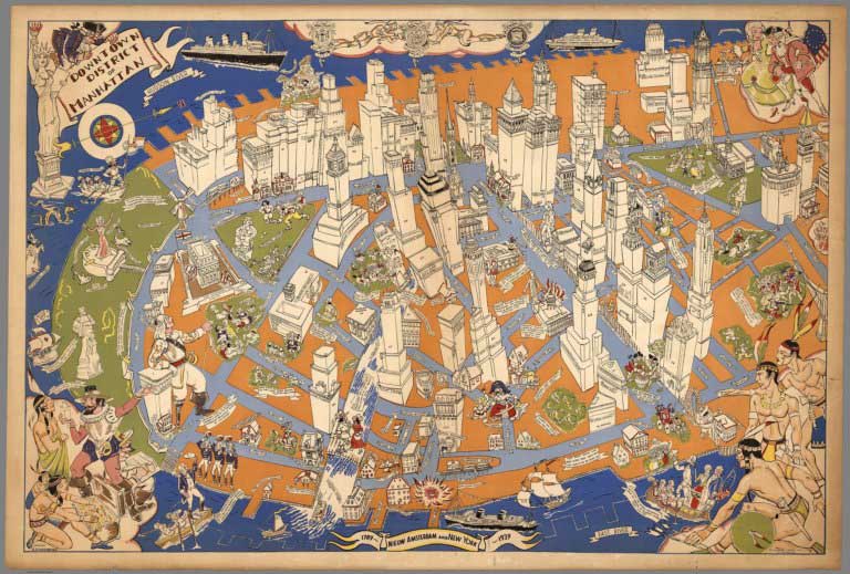 |
Downtown District of Manhattan, 1938 |
 |
Pictorial Maps by Courtland Smith, 1933 to 1961 |
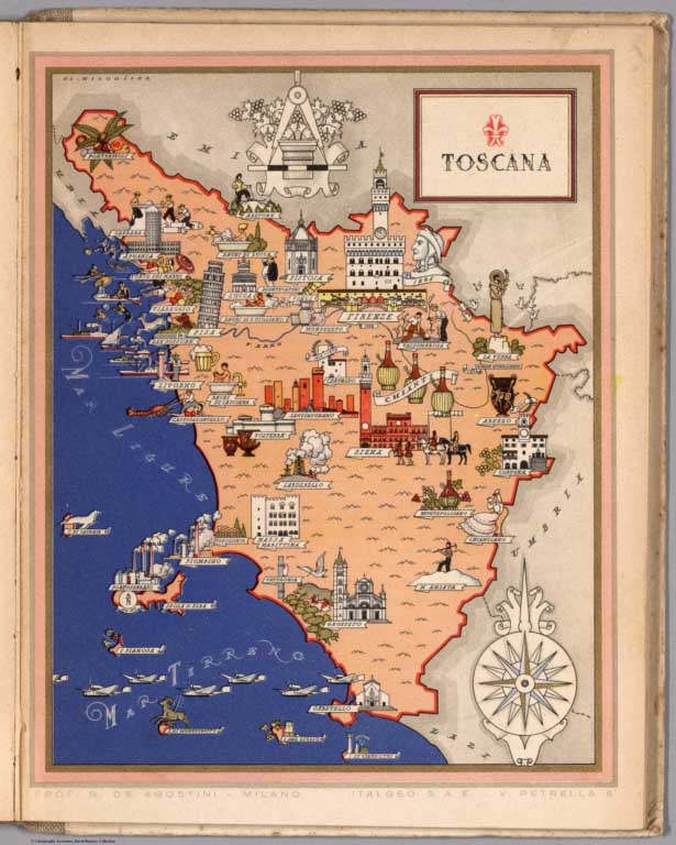 |
Italia Viva del Prof. G. De Agostini ... Atlante Artistico In XXI Quadri a Colori, 1938 |
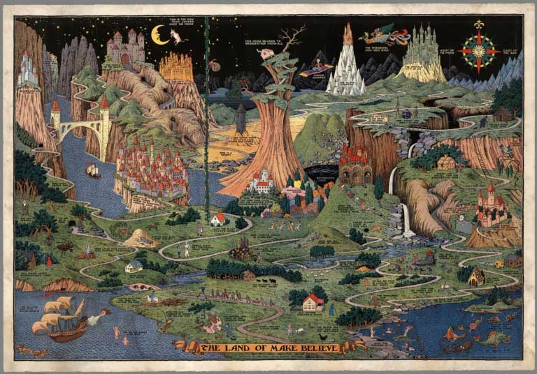 |
Pictorial Maps by Jaro Hess, 1930 and 1953 |
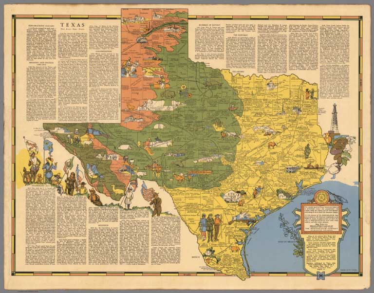 |
Pictorial Maps by the Mentholatum Company, 1936 to 1939 |
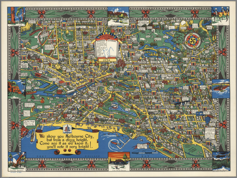 |
Wonder Map of Melbourne, 1934 |
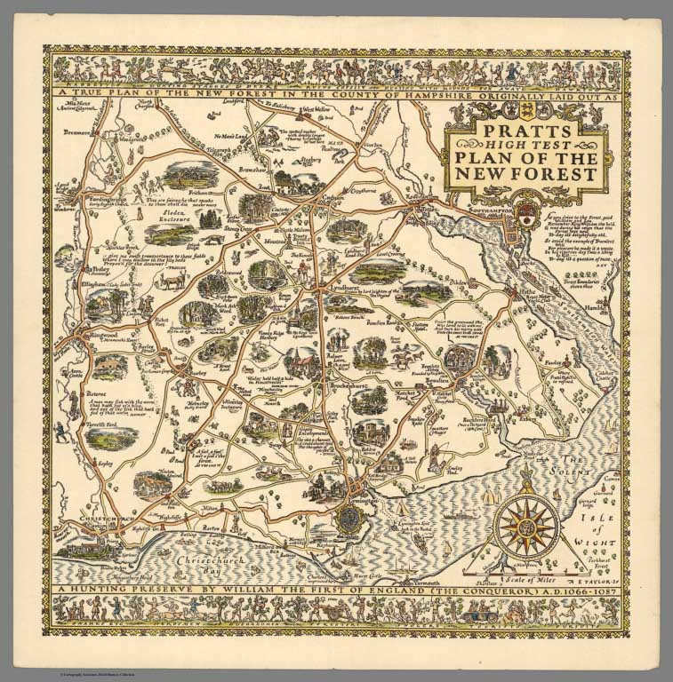 |
Pictorial Maps by Alfred Taylor, 1930 to 1933 |
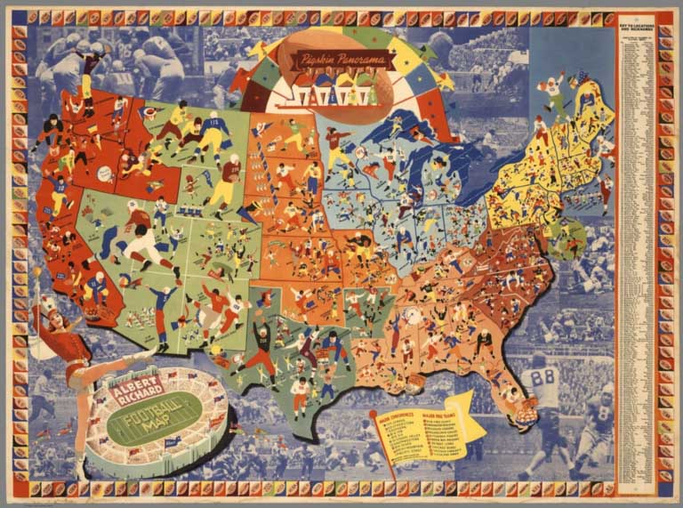 |
Pictorial Maps by Albert Richard Co., 1938 to 1940 |
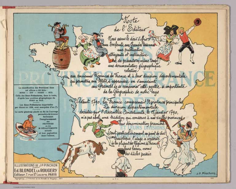 |
Les provinces de France Illustrees et leurs divisions departmentales. Illustrations de J.P. Pinchon. Ed. Blondel la Rougery. Editeur, 7 Rue St. Lazare, Paris. Deuxieme edition. 1929 |
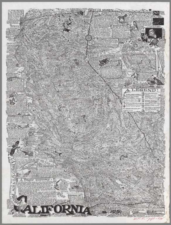 |
Pictorial Maps by Robert Waldmire, 1981 - 2001 |
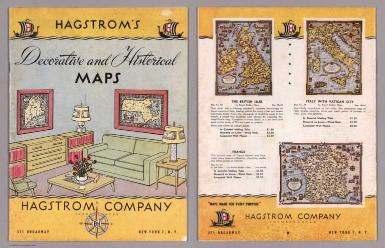 |
Pictorial Map Catalogs and Articles, 1925 - 1977 |
- Recent Additions
- February 27, 2021
Online Rumsey Maps Reach 105,000. Part Two - 2017 Additions
This is Part Two of the blog post documenting the 46,000 new maps and images that have been added online since 2015. The total online collection is now over 105,000. This post covers 50 highlights of additions made in 2017. Later posts will cover the additions made in 2018, 2019, and 2020. All titles may be found by clicking on the View links or images below.
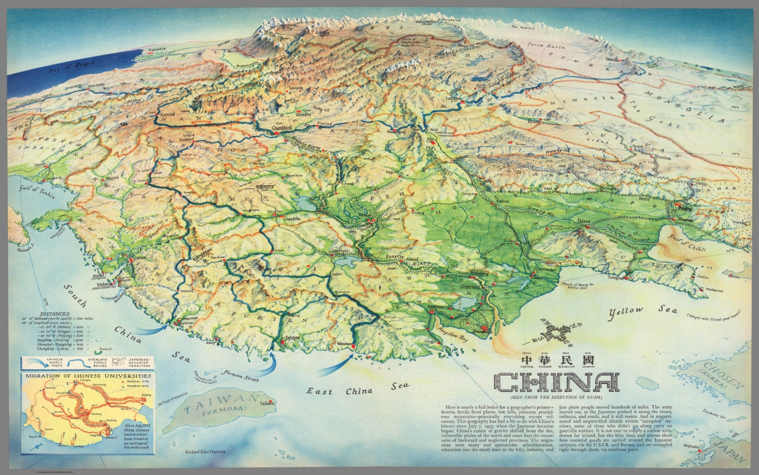 |
China : Chung Hue Min Kuo = central flowery republican country. (Seen from the direction of Guam). Richard Edes Harrison. (inset) Migration of Chinese Universities. 1941. Color map. Title in Chinese and English. Published as supplement to Fortune Magazine, April 1941. Richard Edes Harrison designed the maps to be both visually appealing and politically charged, reflecting the urgency of the war. Map shows boundaries, major cities, ports, Chinese supply ports, overland supply routes and Japanese occupied territory. Includes notes and table of distances. Relief shown pictorially and by shadings. View Map |
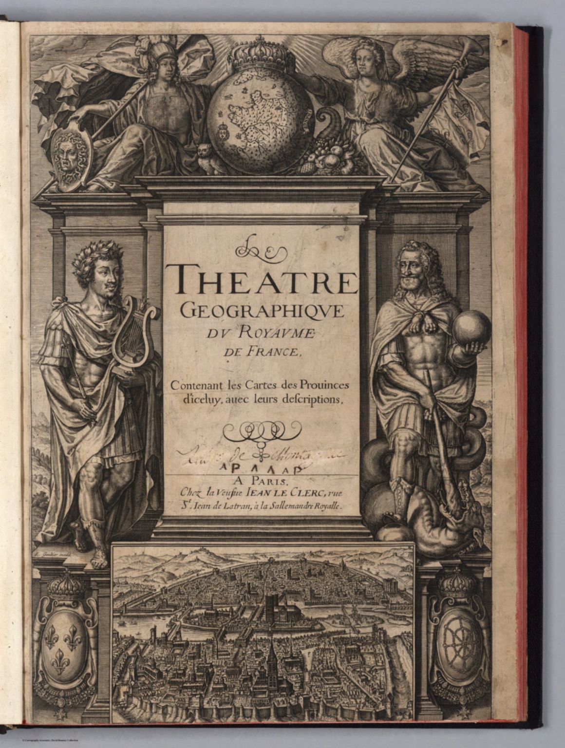 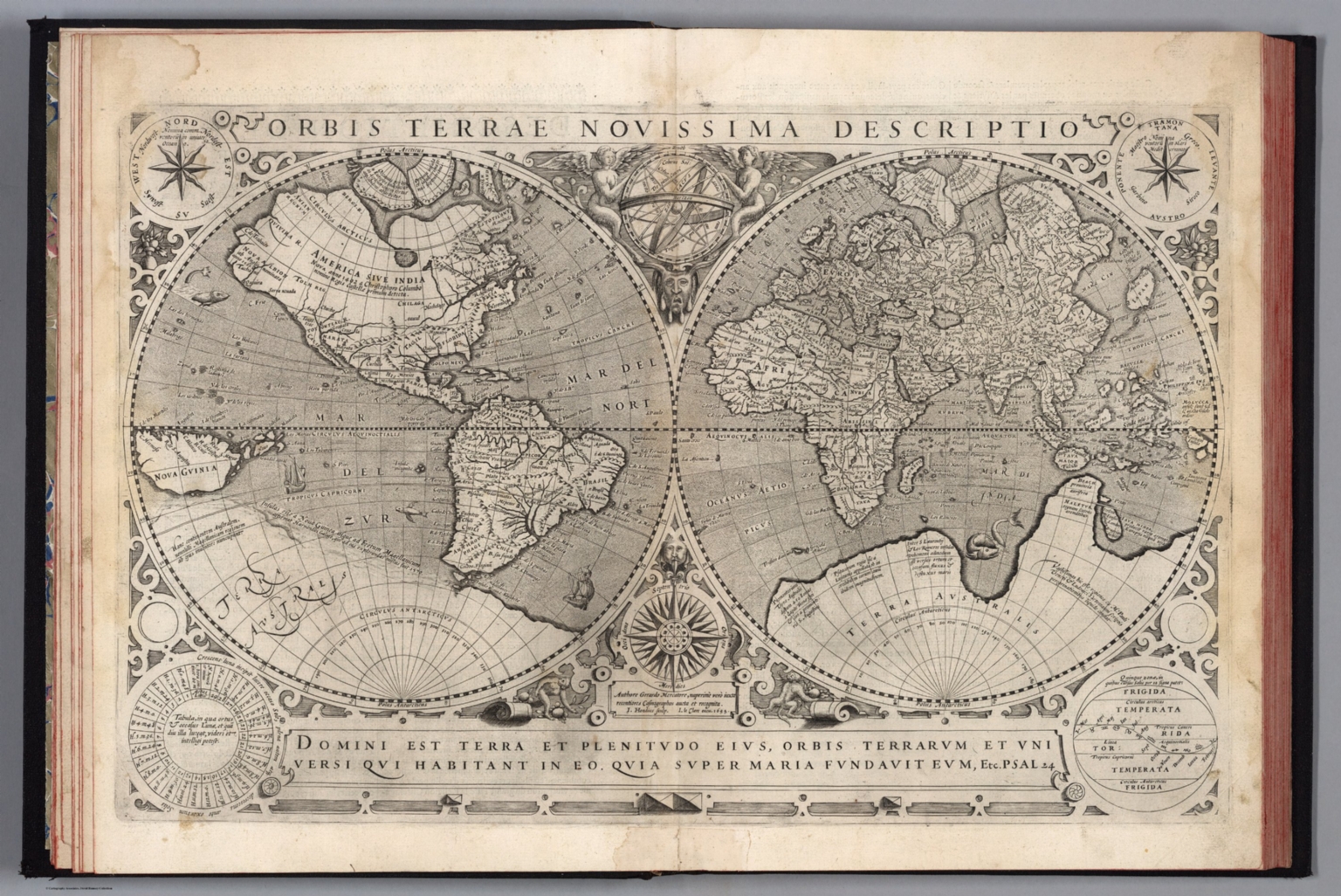 |
Theatre geographique du royaume de France. Contenant les cartes & descriptions particulieres des provinces d'iceluy. Oeuvre nouvellement mis en lumiere : avec une table, où sont les noms de toutes les cartes de chacune desdites provinces. Les descriptions par escrit ont esté recueillies & dressées par Gabriel Michel de La Roche-Maillet angevin, ancien advocat au Parlement & au conseil privé de Sa Majesté. Le tout dedié au Roy. A Paris, chez la veufve Jean Le Clerc, ruë Sainct Jean de Latran, à la Sallemandre royalle. M. DC. XXXII. Avec privilege du Roy. 1632. In 1594 Maurice Bouguereau issued the first national atlas of France with regional maps. Jean Le Clerc acquired the plates and re issued the maps with editions published by him and later his widow in 1621, 1626, and 1632 (this copy). Additional maps were added with each edition. Considered the first atlas of France to contain detailed maps of all the provinces. Sheets in French and/or Latin. Relief shown in sketches. View Atlas |
  |
Jerusalem. F. T. Treitel. Printed and published by: The Commercial Press. Jerusalem. Copyright 1942. Prop. Tewfic Habesch. Lay-out by Heller & Treitel ... Zincography by: Pikowsky. (Cover title) Jerusalem upon your palm : The new pictorial map and information guide, with compliments of the Arab Tourist Agency Ltd. Jerusalem, Jordan. Published by the Commercial Press Jerusalem. (on back cover) Map of Palestine. Copyright by Bauer, 1937. Pictorial map, 43x66, folded into pictorial cover 23x12.5. Shows roads, tracks, paths, old city, new quarter, garden, parks, public buildings, historic sites, places of interest, etc. Includes Index, abbreviations, and list of public and historic place names. On back cover: Uncolored map of Palestine. Shows boundaries, railways, roads, and airport. View Map |
 |
Carte Historique De La France Et De L'Angleterre Depuis La Naissance De Jesus-Christ Jusqu'a L'An Milseptcent, qui contient en abrege les evenements principaux de ces royaumes pendant l'empire romain. ... Avec un triple moyen d'Appendre les histoires, scavoir de succes, de siecle, en siecle, et de signeurie en seigneurie par Jer. Andre Martigonoi. 1721. Time line map, a chronological tree of French and English historical events since the birth of Christ until 1700. Prepared and published by the Italian scholar and poet Jerome Andre Martignoni. Includes in the upper left corner inset map of "modern" England, in the right upper corner "modern" France, and in lower panel coats of arms. The Channel and the Mediterranean are filled with ships and a scale. In the lower part the map continues with parts of North Africa, filled with dromedaries, elephants, etc. The title of his work translates as " Explanation of the historical map of France and Britain since the birth of Jesus Christ until the year 1700, which contains abbreviated key events of these kingdoms during the Roman Empire. Martignoni intended this work as a new means of teaching European History in an easy, comprehensible, and all-encompassing manner by means of historical maps composed in a special methodical way. View Map |
  |
NavWarMap No. 1. The Mediterranean. NavWarMap No. 2. The South China Sea Area. NavWarMap No.3. World War 2 in the North Sea area. NavWarMap No.4. The North Pacific area. NavWarMap No.5. The South Pacific. (on verso) NavWarMap No.6. We fight a Global War. Distributed by the Educational Services Division, Bureau of Naval Personnel, Navy Dept., Washington D.C. 1944. A series of 6 maps using bold graphics to show the status of the various war fronts during World War II. Full color. Relief shown by shaded relief. Also distributed by the Army Orientation Course. View Maps |
  |
Atlas. Tot Amsterdam By Frederick de Wit in de Calverstraet bij den Dam inde Witte Paskaert. 1682. This atlas marks the appearance of a less expensive atlas in the Dutch atlas market. Without text and in small folio size, it begins a move away from the expensive and elaborate atlases of Blaeu and Visscher, towards the more concise atlases that appear in the 18th century. Date estimated. Relief shown in sketches. Outline color. Hand annotations in the margins of some maps. Image No. 12220059.jp2 is a map likely prepared specially for the atlas owner for whom this was a special locale; this would account for the extensive use of gold on the sheet.. View Atlas |
  |
Geographie Mathematique, Physique et Politique de Toutes les Parties du Monde, Publiee par Edme Mentille, de l'Institute national, Malte Brun, Geographe Danois. Atlas. Compose de 45 Cartes, gravees par J.-B.-P. Tardieu aine, sur les dessins de J.-B. Poirson, ingenieur-geographe, revues et corrigees d'apres les meilliurs autorite, par Edme Mentelle ... Paris, Chez Henry Tardieum Imprimeur-Libraire ... (Chez) Laporte. An XIII. 1804. An atlas of 45 maps with numerous unusual additional maps from various sources and dates bound in (see two to the left). Additional maps have pages numbers labeled "... bis ...". Most have outline color. 1804 assigned to any undated sheet. Relief shown by sketches. View Atlas |
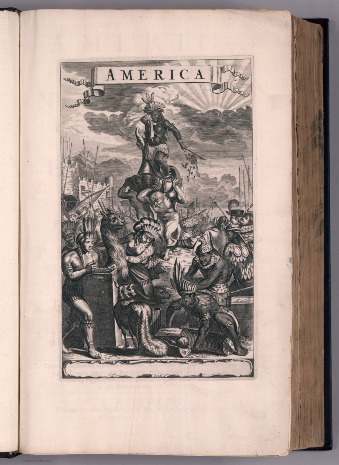  |
America: Being The Latest, And Most accurate Description Of The New World; Containing The Original of the Inhabitants, and the Remarkable Voyages thither. The Conquest of the Vast Empires of Mexico and Peru, And Other Large Provinces and Territories ... Collected from the most Authentick Authors, Augmented with later Observations, and Adorn'd with Maps and Sculptures, by John Ogilby, esq; His Majesty's Cosmographer, Geographick Printer, and Master of the Revels in the Kingdom of Ireland. London, Printed by the Author, and are to be had at his House in White Fryers, M.DC.LXXI. 1671. First edition, second issue, with the important Lord Proprietors map of Carolina by Moxon replacing the Arx Carolina plate and the Virginia pars Australis map of the first issue, with the addition of a map of Barbados, and with the plate list as in the first issue still listing Arx Carolina and Virginia pars Australis but not listing the Lords Proprietors Carolina or Barbados. This copy includes both the Arx Carolina plate and the Virginia pars Australis map, tipped in later. The work is an English translation of Arnold Montanus “De Nieuwe en Onbekende Weereld,” but with a number of additions concerning New England, New France, Maryland and Virginia. Many new maps and views were added. The Moxon map of Carolina is the first large format map of the newly established colony of Carolina. “America” was Ogilby’s finest foreign work; over 150 authors are credited although Montanus is lacking. “When it came to North America, particularly, he abandoned Montanus entirely for his own closer sources. His work used superior type and larger and finer paper than Montanus. Clearly some form of at least tacit agreement existed between Montanus and Ogilby as he acquired the same plates to illustrate his work. This is itself unusual as Ogilby was renowned for providing his own ‘sculptures’. The reasons may lie in the fact that the project clearly was already an expensive one, and that the work had been promised for some time and further delay was undesirable. The first map in the book, of the whole of America, was one of five plates provided by Ogilby himself. We may speculate that this was because Montanus did not actually own the Schagen plate, or that Ogilby wished to insert more English nomenclature” (Burden). Regarding Ogilby himself, he had a series of remarkably successful careers as a dancer, dance master, theatre manager/director, and translator of classics, and finally as author and publisher of travel and geography books. View Atlas |
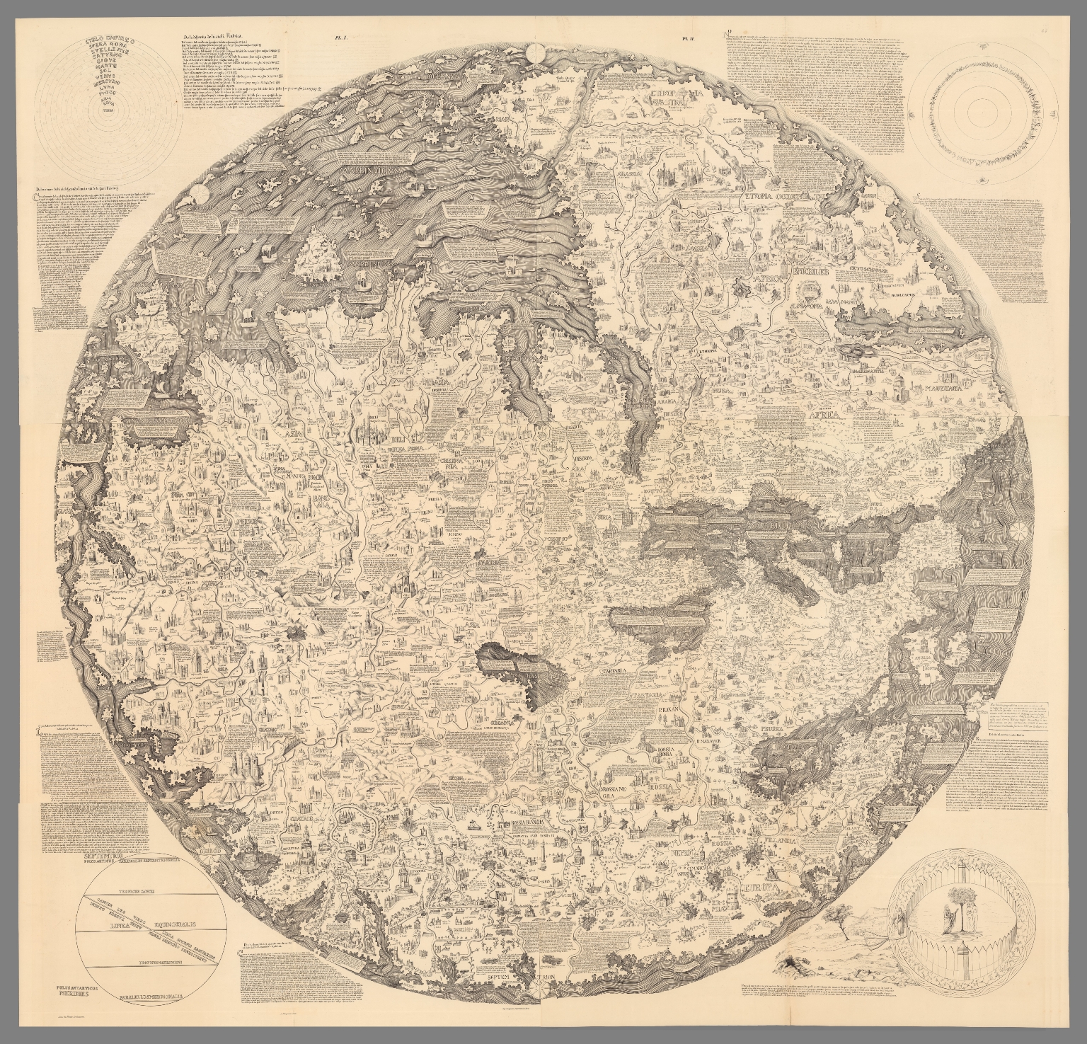 |
Mappemonde dress es en 1450, par Fra Mauro cosmographe Venetien. Par order d'Alphonse V. Roide Portugal. Publiee pour la premiere fois de la grandeur de l'original avec toutes les Legendes par Le Vicomte de Santarem, 1854. J. J. Feuquieres, lith. Schwaerzle Sculp. Pl. I-VI. 1854. |
 |
Imperia sive Monarchiae totius Mundi praecipuae - Die voornaemste rycken ofte Monarchien der gantscher werelt. Baptista a Doetechum; Franciscus Hoeus ex. 1606. Copper engraving broadside time chart, showing a diagram with the years of reign of the most important monarchs in world history, with letters and numbers to identify them, from the Assyrian rulers to the Holy Roman Emperor Rudolph II of Habsburg (1552 - 1612), with text in Latin and Dutch language. Engraved by Baptist van Doetechum and printed by Franciscus van den Hoeye. This time table was issued in Amsterdam circa.1600-1606 and is derived from the one that appeared in Michael Eytzinger's book "Pentaplus regnorum inundi." The circular table is surrounded by notes and mannerist strapwork that enclose vignettes depicting mementos of time, such as hour glasses. The dating as 1600-1606 is due to the fact that Baptist van Doetecum lived in Amsterdam only during these years. It's thought that during that time he arranged for the Printer Frans van den Hoeye to print his time chart. View Map |
 |
Rodoslovnoye Derevo Sovremennogo Sotsializma. pnt. I. Levenshteina. Knigoizdatelstvo "Utro" S. Peterburg. Ulitsa Zhukovskago, 38. (Cover title) Poiasneniia k Rodoslovnomu Derevu Sovremennago Sotsializma.. 1906. Uncolored pictorial map of the family tree of modern socialism, dated from 1889-1904. Folded into 21.5x12. With attached 15 page of explanation, notes and text on page 16. View Map |
 |
United States of America. Covarrubias. (Copyright) A.A.A. 1942. Bird's-eye view pictorial map of the United States with parts of Canada and Mexico. On verso: descriptive text: Miguel Covarrubias. Date estimated. Decorative cartouche features an American eagle shield surmounted by a ribbon banner with the title of the map. Shows natural features, mountain ranges, trees, agricultural products, industry, plane, ships and boats, fishes in the oceans, flowers and domestic animals of various regions such as a crab in Maryland, a flamingo in Florida, and cacti in the desert Southwest. Skyscrapers of the big cities and landmarks such as the Statue of Liberty are shown. A Canadian Mounty, Native Americans and cowboys are depicted in the regions they are associated with. Compass rose on lower left. Relief shown pictorially. View Map |
  |
Atlas Geographique contenant la Mappemonde et les quatre parties, avec les differents Etats, avec apprpbation & privilage du Roy MDCC.LXIII. A Paris, Chez Lattre Graveur, ordinaire de Mgr. le Dauphin, de Mgr. le Duc d'Orleans et de la Ville, rue St. Jacques, vis-a-vis celle de la Parcheminerie, a la Ville de Bordeaux. 1763. Atlas containing 51 maps; 49 folded leaves with 2 two preliminary maps inserted from other copies, 6 maps inserted at the end, table of contents and text. This is the folio version of Lattre's smaller atlas, see our 2612.000. Maps are hand-color in outline, many with additional original hand-color in part, with title cartouche, dated between 1759-1784, one map date 1816 later added to the atlas. Maps are made by De l'Isle, Buache, Janvier, Rizzi Zannoni, St. Angelo, Bonne, Jaillot, Robert de Vaugondy, and Lattre. Showing political and administrative boundaries, rivers, place names, canals, fortifications, forests, lakes, etc. Relief shown pictorially and by hachures. Bound in brown marbled half leather covers with title "Atlas Geogra" in gilt on spine. Lattre's dedication of the map to Benjamin Franklin, who as American ambassador to France, represented the United States at the peace negotiations. View Atlas |
   |
Atlas selectus von allen Konigreichen und Landern der Welt : zum bequemen Gebrauch in Schulen, auf Reisen und bey dem Lesen der Zeitungen. Verfertiget und in Kupffer gestochen von Johann George Schreibern in Leipzig. 1790. Atlas of kingdoms and countries around the world, for convenient use in schools, on trips and the reader of newspapers, prepared and engraved by Johann Georg Schreiber,1676-1750 - first cartographer in Saxony, was born 1676 and lived in Leipzig. His only work was the "Atlas Selectus" published first 1741 and reissued many times up to the end of the 18th century. Each subsequesnt edition increased the number of maps. This copy with date estimated at 1790 based on the number of maps. He died in 1745. Atlas published in 2 volumes, 149 pages, vol. 1: pages 1-76, vol 2: pages 77-149, including hand colored engraved pictorial title page, distance table with map of Germany, 2 pages of index and 148 hand colored copper engraved maps including a double hemisphere world, the continents, 26 maps of European countries, regional maps of Germany, the Russian Empire, the Black Sea and the Holy Land. The map of the Americas features the island of California. The maps on sheets 21x29, include a text panel describing the region, showing political and administrative divisions, cities, towns and villages, rivers, lakes, forests, churches, landmarks, roads, distances and canals. Include decorative cartouche and compass rose. Relief shown pictorially. Bound in brown leather cover with "Schreibers Atlas" on spine in gilt. View Atlas |
 |
Air Communications. Air Age Chart No. 5. (View) (Poster of instrument landing with vignettes of navigational aids.) 1944. Poster of instrument landing with vignettes of navigational aids. Prepared in collaboration with its Pilots and Air Transport Engineers by Aviation Research Associates. View Map |
 |
Gold Medal Flour. Washburn Crosby Flour. 1929. With unusual flour design. Color. Includes time zone clocks. View Map |
 |
World Map of the Major Tropical Diseases. 1944. From Life Magazine, May 1, 1944. View Map |
  |
Unique Media Maps. Unique Collection. 2000. Part of a series of 16 colorful, printed, watercolor, artistic, bird's eye maps of areas and cities of the United States and Canada. View Maps |
 |
San Francisco Archipelago, showing the 200 foot sea level rise. Map by Brian Sloat and Burrito Justice (copyright) 2012. High resolution topographic map of the San Francisco Archipelago, released by Northern California Coast Survey, showing the 200 foot sea level rise compared to the 2012 sea level datum, and shows what the city would like after a catastrophic disintegration of the Antarctic ice cap that caused sea levels to rise 200 feet, transforming San Francisco from a peninsula into an archipelago. Depth shown by isolines and gradient tints. View Map |
  |
12 Pictorial Maps of U.S. Cities, 1973 - 1983. Pictorial maps, filled with noted illustrations of buildings and landmarks, bridges, scenic highlights and attractions. Includes modes of transportation such as cars, airplanes, ships and boats. Shows small figures of people engaged in activities. View Maps |
  |
Geographical Fun: Being Humourous Outlines of Various Countries. With an Introduction and Descriptive Lines. By "Adelph." London: Hodder and Stoughton, 37, Paternoster Row. 1868. The plates in this volume are based on pictures drawn by Lilian Lancaster in her fifteenth year to amuse and entertain her sick brother. Lilian had a very successful stage career but eventually returned to illustration under her married name, L. Tennant. She illustrated the 1912 volume "Stories of Old" by E.L. Hoskyn, see Pub List No. 12068.000. View Atlas |
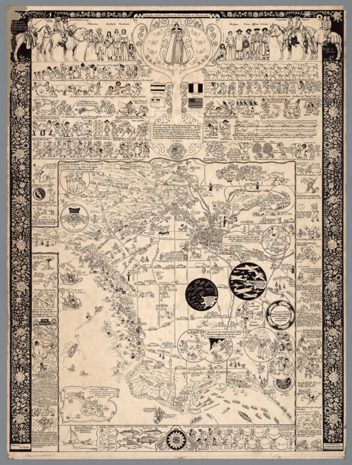 |
18 Pictorial Maps by Jo Mora, 1928-2013. 18 pictorial maps by Jo Mora, including 6 manuscript maps showing his original drawings for the printed maps. View Maps |
  |
Mercurio Geografico overo Guida Geografica in tutte le parti del Mondo, conforme le tavole geografiche del Sansone, Baudrand e Cantelli. Data in luce con direttione, e cura di Gio. Giacomo de Rossi nella sua stamperia in Roma alla Pace, all'insegna di Parigi con Priu: del S. Pont. Tomo Primo. (Half title) La guida del Mercurio geografico per tutte le parte del mondo. 1692. A fine example of De Rossi's atlas, in 2 volumes, similar to Coronelli's atlas of the same period, with engraved decorative title page. Includes 150 engraved outline hand colored maps with decorative title cartouche, on 181 sheets. Some maps having 2-4 page numbers. Index includes plates 1-95 of the first volume, and plates 96-181 in the second volume. Maps dated between 1669 and 1715, issued by Giov. Giac. de Rossi and Domenico de Rossi, they are mainly derived from Cantelli da Vignola's maps, an important seventeenth-century cartographer who pioneered the Italian style of fine bold engraving that would eventually be embraced and expanded upon by Vincenzo Coronelli, and Nicolas Sanson (20 December 1600 – 7 July 1667) a French cartographer, termed by some the creator of French geography. Maps engraved by Baudrand, Franciscus Donia, G.B. Falda, Jean Lhuilier, Vin Mariotti, Gasparo Pietro Santa, Salomon Rogiers, & Giorgio Widman, Lubin, Titi, Ameti, Magini and Mattei. Bound in blue half leather binding. Giovanni Giacomo De Rossi (1627 - 1691) was an Italian printer and publisher active in 17th century Rome. Giovanni inherited the important Rome based printing business originally founded by his father, Giuseppe de Rossi (1570-1639). By the mid-17th century the Rossi firm was considered the most active and important press in Rome.. View Atlas |
 |
Carte Tectonique Internationale de L'Europe. Carte preparee pour la publication par la Commission des cartes tectoniques internationales de la Section des sciences geologiques et geographiques de l'Academie des sciences de L'URSS. Congres Geologique International, Commission de la Carte Geologique de Monde, Sous-Commission de la Carte Tectonique du Monde. 1:2,500,000. 1962. Commission for the Geological Map of the World. Subcommission for the Tectonic Map of the World. 16 sheets which join together to form one map. Color. Lambert conic conformal projection. View Map |
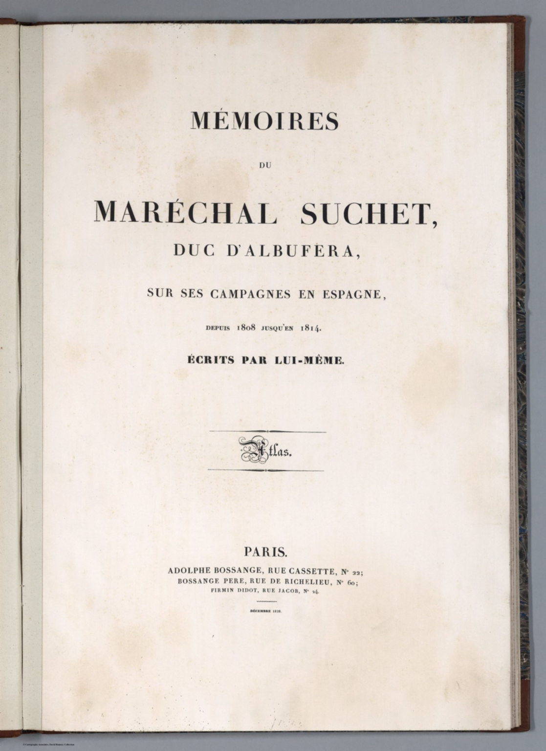 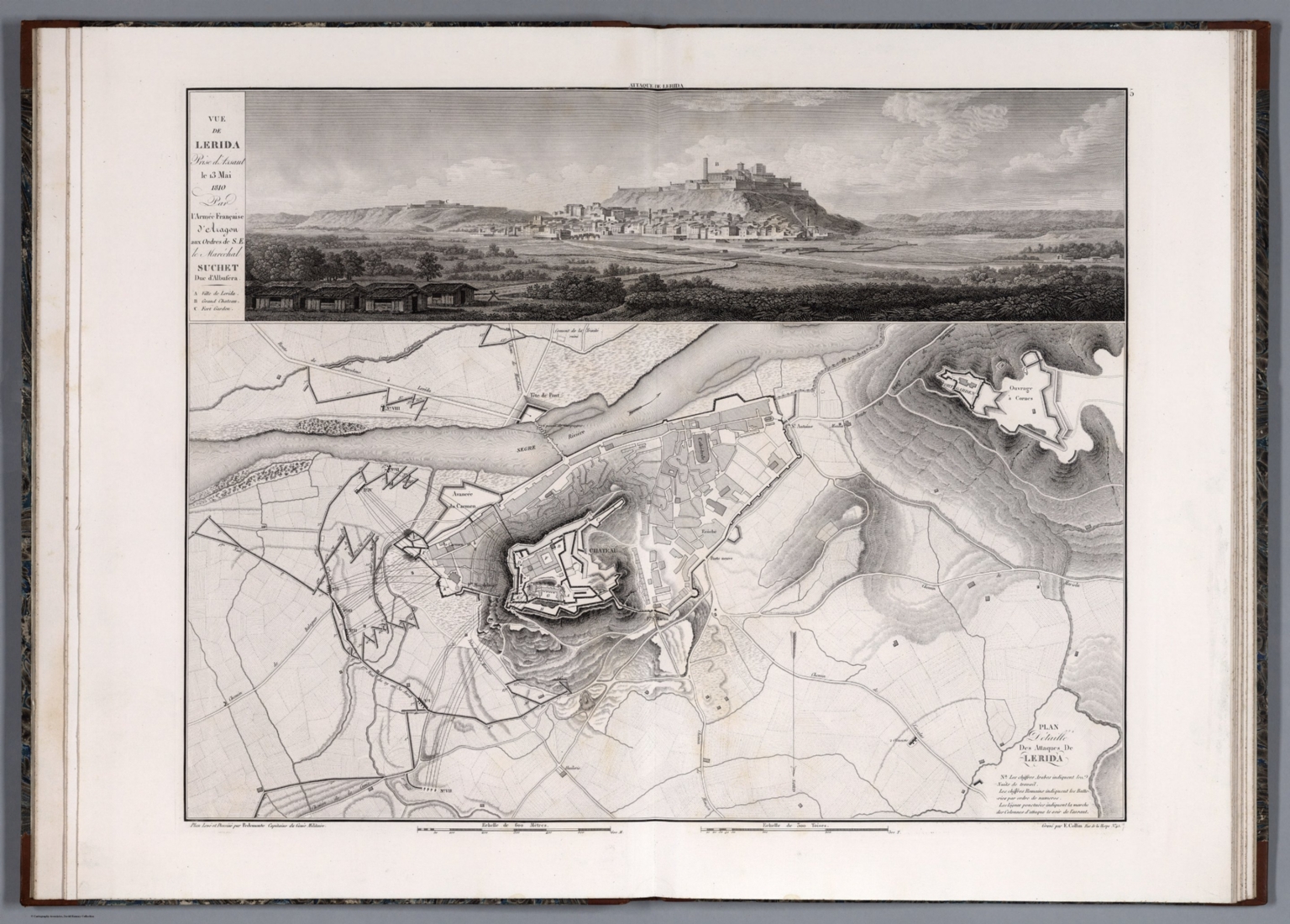 |
Memoires du Marechal Suchet, duc d'Albufera, sur ses Campagnes en Espagne, depuis 1808 jusqu'en 1814. Ecrits par lui-meme. Atlas. Paris. Adolphe Bossange, Rue Cassette, No 22; Bossange Pere, Rue de Richelieu, No 60; Firmin Didot, Rue Jacob, No 24. Decembre 1828. French Marshall Louis-Gabriel Suchet was widely considered the most successful Napoleonic general at having pacified and held areas of Spain 1808-1814. His army consisted of about 55,000 regular and reserve troop. Relief in hachures. Black and white. The combination of maps with profile views creates a very clear understanding of the battle terrain that is exceptional for battle maps of this type. View Atlas |
  |
Atlas general de la ville, des faubourgs et des monuments de Paris. Leve dessine et rapporte par Th. Jacoubet . Grave par D. Bonnet. Ecrit par Hacq. 1836. The Jacoubet atlas of the city, the suburbs and monuments of Paris was made by the architect Theodore Jacoubet. The writing and engraving were done by J. M. Hacq and D. Bonnet. Jacoubet is the last architect to have been responsible for the establishment of a map of Paris. The maps are significant because all streets and buildings are drawn to scale thereby making the maps extremely accurate for the time. The atlas is a very large map of Paris in 54 sheets, mounted on linen, on sheets 71x157 or smaller, folded to 71x51, published between 1827 and 1836, delivered in 9 parts. Maps are heavily annotated to show the evolution of the city planing, expansion of the roads and changes in the buildings. Many sheets have annotations showing proposed new streets, widening of streets, and new public spaces. It is possible that this set was used in the early planning of the Haussmann designs for new wide boulevards that were constructed in the period 1853 to 1870. The new Opera house is shown in manuscript plan. Streets and roads, canals, public buildings and monuments are represented, some roads and monuments are anticipated by the architects: churches, opera house, the City Hall, for example, is shown as it will be completed in 1848. Library lacks sheets 1 and 2 that are title sheet (image online is from Princeton University copy); 3-54 are maps, Sheets 8-9 "Plan d'Assemblage" on 2 sheets folded, including delivery table and six small plans of Paris evolution over time and a plan of major operations that were used in the triangulation of Paris. Sheets 46-48 and 52 are index sheets "Nomenclature". Sheets 53 and 54, is the smaller Plan of Paris, "Plan reduit du plan general" reduced to scale 1:10,000, with text and index, with administrative boundaries in color, street, parks, museums, major buildings and landmarks are named. This copy is with the bookplate of Paris historian and collector Paul Lacombe (1848-1921) who was librarian at the National Library, a noted bibliographer, member of the Society of Friends of the books and of the Society of French bibliophiles. View Map |
  |
Atlas geographicus omnes orbis terrarum regiones in XLI tabulis exhibens : jussu Academiae regiae scient. et eleg. litt. Boruss. ad emendatiora, quae adhuc prodiere exempla descriptus atque ad usum potissimum scholarum et institutionem juventutis editus = Atlas geographique representant en XLI cartes toutes les regions de la terre : gravé par ordre de l'Académie royale des sciences et belles lettres de Prusse d'apres les meilleurs exemplaires qui ayent paru jusqu'icy a l'usage principalement des ecoles. Berolini : Ex officina Michaelis MDCCLIII (1753). First edition of the Atlas by the famous mathematician Leonhard Euler. The Atlas was published on behalf of the Royal Prussian Academy of Sciences in Berlin by Leonhard Euler, designed specifically for the use in schools. The maps were largely based on works of Johann Christoph Rhode and were mostly engraved by Nicolaus Friedrich Sauerbrey. This edition includes a title page, a 10-page preface by Leonhard Euler in Latin and French, 41 double-page engraved maps, plus 4 additional maps. Highlights are 4 maps of the world (one in two sheets) and the 4-sheet map of America. Each map is outline hand colored and has a stamp of the Royal Prussian Academy of Sciences, most maps include decorative title cartouche, showing political and administrative divisions, cities, villages, place names, rivers, canals and mountains. Relief shown pictorially. Bound in brown leather covers with "Atlas geographicus Berolinensis" in gilt on the spine. View Atlas |
  |
Atlas of the Chinese Empire : containing separate maps of the eighteen provinces of China proper on the scale of 1:3,000,000 and of the four great dependencies on the scale of 1:7,500,000, together with an index to all the names on the maps and a list of all Protestant mission stations, &c. Specially prepared by Mr. Edward Stanford for the China Inland Mission. The China Inand Mission, London, Philadelphia, Toronto, Melbourne, Shanghai. Morgan & Scott, Ltd., 12 Paternoster Building, London, E.C. 1908. |
  |
Maps of Various European Cities with Embossed Paper Showing Buildings and Other Features in 3D. 1841 - 1849. Bauerkeller embossed his city maps and views to give a 3D effect for the buildings and some elevated features (city walls, etc.). This feature seems to be unique to Bauerkeller's maps, although he was copied in one map in our collection, the map of Cassel by Caesar (see our 12215.000). Bauerkeller also used very bright (and to our eyes very modern) printed colors to show the different districts and areas. View Maps |
 |
Monialium Ebstorfensium mappa mundi : quae exeunte saeculo XIII. videtur picta, Hannoverae nunc adservatur, edidit Conradus Miller. Jos. Roth'sche Verlagshandlung, Stuttgart. Chromolith Kunstandstalt v. Eckstein & Stahle, Stuttgart. Editio altera 1898. Circular pictorial map of the world, 101 diameter, on sheet 118x106, dissected into 20 sections 29x21, mounted on linen. The map, printed in Stuttgart, is a reproduction of the famous Ebstorf map which was destroyed in 1943. This large, circular "mappa mundi," by Gervase of Ebstorf is one of the most famous 13th Century historic maps of the world. With common medieval manuscript symbols and the medieval forms of place names, it reflects the contemporary religious ideas of the medieval map maker and represents cosmography and not cartography, which teaches the constitution of the whole order of nature, or the figure, disposition, and relation of all its parts. It visually portrays the Greek concept of the earth as flat, circular, popularized by the addition of Christian dogma. The original map, discovered in the Benedictine convent of Ebstorf, Germany, in 1830, dates from around the thirteenth century. Various dates have been given by authorities ranging from 1270 to 1350. Map showing the world is centered on Jerusalem, depicted with gold, eight-sided medieval wall, and the Tower of Babel, Bethlehem, Sodom and Gomorrah, and Mt. Sinai. Christ’s head represented in the East, at the top of the map, the direction of Paradise. His hands mark the northern and southern limits of the known world, and his feet are at Gibraltar where the Mediterranean meets the Atlantic. Europe is in the bottom left, Africa in the bottom right, and Asia at the upper half. In the East, near Christ’s head is located the Garden of Eden surrounded by mountains, the two figures bent to gather silk. Alexander the Great is consulting the Oracle of the Sun and the Moon. The map surrounded by water, depicts significant landmarks highlighted by gold, towns are shown by towers, wildlife, rivers, mountains shown pictorially and points of interest for the curious pilgrim. Also shown are the symbols for the four great rivers, the Nile, Tigris, Euphrates, and Ganges. View Map |
 |
Der Strom der Zeiten oder bildliche Darstellung der Weltgeschichte von den altesten Zeiten bis zum Ende des achtzehnden Jahrhunderts, von Friedrich Strass, Prf. der Geschichte ... 1804. Hand color timeline chart by Austrian chronologer Strass,130x70. Folds into brown marbled case 37.5x26 with a label "Der Strom der Zeiten oder bildliche Darstellung der Weltgeschichte ..." A chronological representation of world history from the oldest times until 1800, with corresponding tables on both sides of the chart. The is the second edition by Strass, see our 1803 first edition (7921.000). View Map |
  |
Palaestina - Wirtschafts - Atlas. 1926. This is a scarce atlas with statistical maps showing Jewish immigration and populations in Palestine and Israel over time. Loose leaf sheets in folio style case.. View Atlas |
  |
Mond-Atlas entworfen nach den Beobachtungen an der Pia-Sternwarte in Triest von Joh. Nep. Krieger, Mitglied der astronomischen Gesellschaft. I. Band. Mit 28 Tafein und Ansicht der Sternwarte. Triest, 1898. Im Selbstverlage des Verfassers. In Commission bei Ed. Heinr. Mayer in Leipzig. 1898. This 1898 lunar atlas was followed by a two volume sequel in 1912, Pub List No 12133.000 and 12134.000. Text is available on Internet Archive. Index map to plates in this volume are shown on List No 12134.123. View Atlas |
  |
Atlas geographique, astronomique et historique, servant a l'intelligence de l'histoire ancienne, du moyen age et moderne et a la lecture des voyages les plus recens. Dresse d'apres les meilleurs materiaux tant francais qu'etrangers conformement aus progres de la science, par J.G. Heck. - Paris, Engelmann & Compagnie, S.F. 1834. Johann Georg Heck was a German bookseller and publisher, lithographer, cartographer, geographer and author. He became known through his work the Illustrated atlas for Conversations lexicon, Iconographic Encyclopaedia of Sciences and Arts, one of the largest German view works of the 19th century (see our copy). This atlas Geographique.. is his only known atlas. In the atlas, his thematic maps are especially noteworthy. Relief shown with hachures. Outline color. View Atlas |
 |
(A fluxatlas : Spatial poem). This is the record of various directions to which people were simultaneously moving or facing around 10PM (Greenwich time) October 15th 1965. Mieko Shiomi. Event design, George Maciunas. 1965. In 1964 Japanese artist Shoimi Mieko (Chieko) was invited to New York City by George Maciunas, founder of Fluxus network of artists to collaborate with him on a number of projects. This Fluxus map is the 1st. edition uncolored broadside issued in 1966, in 3 folds, with title on the cover "A fluxatlas. Mieko Shiomi. Event design, George Maciunas", now flattened. Includes outline maps of Japan, North America and Europe with notations indicating the locations of artists describing what they were doing at the time. In 1965 Shiomi conducted a series of nine events that she called "Spatial Poems" Each began with invitation to friends and colleagues to respond to a simple instruction, which took the form an intimate action poem, the accumulated responses she received constitute the work and give a glimpse of the network of artists who were connected through Fluxus activities. For Spatial Poem No. 2. Mieko contacted people around the world to record what they were doing and the direction they were facing in the morning Greenwich time on October 15, 1965. View Map |
 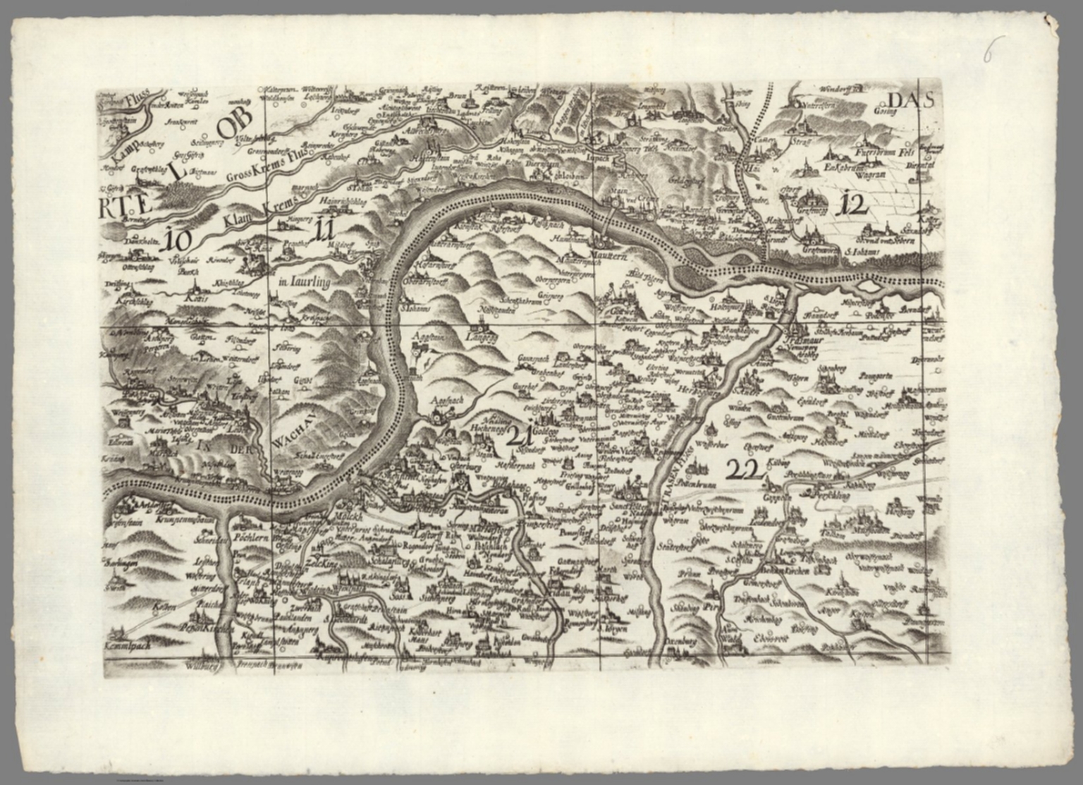 |
Archiducatus Austriae inferioris geographica et noviter emendata accuratissima descriptio : Iussu et Sumptibus Inclytorum, Archiducat; Austriae Inferioris Dominorum Statuum Provincialium tabula haec Geographica nouiter emendata in Lucem data est. Anno ... MDC XCVII (1697). (inset views) Larpa Ceres spicas fragrantia vina ministrat Incopia Bachus, dat quo que terra Crocum. (with) Austria Cæsaribus foelix et patria regum archiducumque domus regno populis qz beata.. 1697. 1 map on 20 sheets 156x216, 16 sheets of map each 40x54, with 4 sheets index beneath map. Topographic map of lower Austria by Georg Matthaus Vischer an Austrian topographer, cartographer, engraver and parish priest in Leonstein (Upper Austria) and Vienna. He is regarded as one of the most important Austrian cartographers and topographers of his time. His map was one of the most important maps of lower Austria, which was copied by N. Visscher, Homann, Seutter and others the next 100 years. This 1697 issue is the second edition, after the first edition of 1670. The name of Georg Matthäus Vischer and Melchior Küsel were in this edition removed from the panel and replaced by the name of Jacob Hoffmann and Jacob Hermundt, although the two had their improvements made by Vischer's handwritten corrections. Several changes were made to the to the view panels in the second edition. Map shows administrative boundaries, cities, towns, landmarks, place names, rivers and mountains. Relief shown pictorially. Includes decorative cartouches, Australian insignia and notes. View Map |
|
 |
Imago Romanii Imperii. S.S.P., et D. N. Clementi XI P.O.M. Rom. Imp. Imagin. Hier. Andreas Martignonus D.D.D. ; Barth. Ioseph Tasniere sculp. Taurini. 1721. Topographic map of the middle part of Ancient Rome, 207x240 on 15 sheets dissected in to 30 sheets 36x48. Title from sheet TAV XI. Large scale map of the archeological ruins in Rome by Luigi Canina, an Italian architect and archeologist, whose work provides an important view of the condition of the city and ancient artifacts in the mid-nineteenth century. The interesting plan depicts the ancient monuments overlaid on a base map of the modern city as it was in 1840. Showing the landmarks, streets, city blocks, etc. Map published for the first time in 1840, entitled " "Pianta topografica della parte media di Roma antica dimostrata colla disposizione di tutti quegli edifizj antichi di cui rimangono reliquie e delineata sulla proporzione di uno a mille dall'architetto Luigi Canina." The 2nd edtion published in 1842. This is the 3rd. and last edition published in 1847, included 15 sheets. in 2 sections. Canina published a smaller version of this map, surrounded by 157 fragments of Severiana plan, a huge plan dating back to the emperor Septimius Severus (193-211), discovered in 1562 behind the church of St. Cosmas and Damian in the Forum Roman. (see our copies of this map). The fragments of the Severiana plan are shown as shadows on both this larger map and the smaller map, although only the smaller map identifies the fragments. Luigi Canina, an architect and archaeologist, born in Casale Monferrato on Oct. 23, 1795, died in Florence on October 17, 1856. He studied in Turin with Ferdinando Bonsignore. View Map |
  |
A Chart of the World upon Mercator's projection exhibiting all the new discoveries to the present time : with the tracks of the most distinguished Navigators since the year 1700, carefully collected from the best charts, maps, voyages &c. Extant. And regulated from the accurate Astronomical Observations made in three voyages performed under the command of Capt. J. Cook in the years 1768, 69, 70, 71. -72, 73, 74, 75. - 77, 78, 79, & 80. Compiled and published by A.Arrowsmith, Hydrographer ... London published as the act directs, April 1st, 1790. by A. Arrowsmith. 1808. Map printed on six full sheets and two half sheets, sheets 75x62 or smaller. This was Arrowsmith's first map when originally published in 1790, here in the last state, 1808. It was one of the best and most up to date maps of the world published at the end of the 18th century, incorporating all of the discoveries made on Cook's great voyages, exhibiting new discoveries in the Pacific, as well as in the Arctic and along the northwest coast of America. The map shows Cook's discoveries from all three of his voyages, and also incorporates many other Pacific voyages. Indeed, nearly 30 tracks of explorers are marked, dating from 1492 to 1787, including the voyages of Furneaux, Surville, Tasman, Chirikof, Bering and others. Shows boundaries in outline hand color, cities, rivers, and grid lines. Includes text and compass rose. Relief shown by hachures. Depth shown by soundings. Prime meridian is Greenwich. View Map |
  |
Labour and life of the people. Appendix to volume II. Edited by Charles Booth. William and Norgate, London; Edinburgh. 1891. (on verso) London: G. Norman and Son. (with maps) Descriptive map of London poverty, 1889. (with) Map shewing degrees of poverty in London. 1891. 5 color maps 68x88 or smaller, with 60+23 pages of text and index. Includes 1 map on 4 sheets, and 1 single map 68x88, folded into 21x12.5, mounted on linen in a band attached to the back cover. dated 1889-1891. Detailed town plan to show resident's means in 7 classes, wealth to poverty. Bound in olive cloth covered boards with title "Labour and life of the people : Maps etc. Appendix to Vol. 2." stamped on cover and on spine. Charles Booth's Inquiry into the Life and Labour of the People in London, undertaken between 1886 and 1903 was one of several surveys of working class life carried out in the 19th century. It is the only survey for which the original notes and data have survived and therefore provides a unique insight into the development of the philosophy and methodology of social investigation in the United Kingdom. Booth's four sheet Poverty map colour-coded streets according to the degree of wealth of the inhabitants, ranging from black ('Lowest class'), through shades of blue and purple ('Poor', 'Mixed', 'Fairly Comfortable'), to red ('Well to do') and yellow ('Wealthy'). Booth (1840-1916), owner of the Booth Shipping Line, acted in response to an 1886 Pall Mall Gazette article that claimed that 25% of Londoners lived in poverty. Booth regarded this figure as wildly exaggerated, so recruited a team of volunteer researchers (including his cousin Beatrix Potter) to compile an analysis of social conditions based on field visits and interviews with local police, clergy and employers. The First Series of 'Life and Labour' (1889 maps shown here), covering the East End, showed that 35% lived in poverty View Map |
 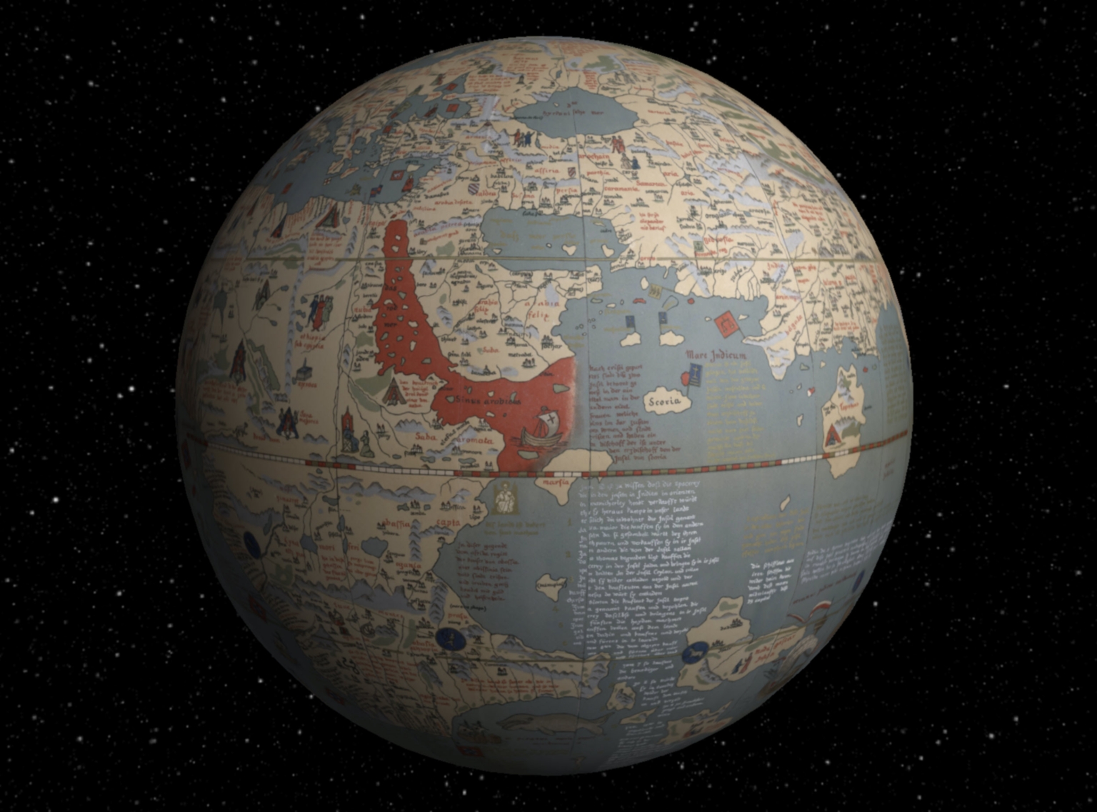 |
Martin Behaim, his Life and his Globe. By E.G. Ravenstein, F.R.G.S., First Victoria Gold Medallist of the Royal Geographical Society, with a Facsimile of the Globe Printed in Colours, Eleven Maps and Seventeen Illustrations. London, George Philip, Son & Nephew, Ltd., 45-51, South Castle Street, (1492) 1908. Martin Behaim's Erdapfel (earth apple) is the oldest surviving terrestrial globe. It exists in only one manuscript copy painted by Georg Glockendon, held Nuremberg, Germany. It shows the world according to Ptolemy and other sources, before the discovery of America by Columbus in the same year as the globe was made, 1492. Behaim's globe vividly shows the earth without America and illustrates why Columbus thought he could sail directly west from Europe and land in China and the East Indies. This facsimile of Behaim's globe gores and callots was made by E.G. Ravenstein in 1908 and is generally considered the best available facsimile. It is based on both the original globe and an earlier facsimile made in 1847 by E.F.Jomard, as well as other sources for the notes and place names. While it is by no means a completely faithful copy of the original, it does express the overall intent of Behaim's globe. We have georeferenced the 12 globe gores and 2 polar callots, allowing the reprojection of the 14 separate sections into continuous world maps on several different projections. We have also placed a virtual globe version in Google Earth. View Map |
  |
The world according to Ronald Reagan. Horsey. 1982 - Seattle Post-Intelligencer. 1982 AA Graphics, Inc., Seattle, Wash., USA. PC237 (with) The world according to Ronald Reagan. By David Horsey. 1987 AA Graphics, Inc., Seattle, Wash., USA. PC0288, Regan's world II. 1982. 1987. 2 Political satire maps, depicting the world as Ronald Reagan (US president 1980-1988) might have imagined it, showing various political humor. These are the first and second of Reagan's World maps, by David Horsey, published in 1982 and 1987. David Horsey was a Pulitzer-winning Seattle Post-Intelligencer cartoonist. View Maps |
   |
L'Atlas Curieux ou Le Monde Represente dans des Cartes Generales et Particulieres du Ciel et de la Terre Divise Tant en ses Quatre Principales Parties que par Etats et Provinces ... Par N. de Fer, Geografe de Monseigneur le Dauphin ... Dedie a Nosseigneurs les Enfans de France ... A Paris, chez l'Auteur dans l'Isle du Palais .... (The Atlas or The Curious World Represented by General and Particular Maps of Heaven and Earth Divided Both in Four Major Parts by States and Provinces ... By N. de Fer, Geographer to Monseigneur the Dauphin ... Dedicated to our Lords, the Children de France ... in Paris, at the House of the Author in Isle Palace ... 1700.) This is volume one of the normally two volume Atlas Curieux, here in the "Suite" edition. De Fer's Atlas Curieux is a fascinating mix of maps, views, and plans unlike any other during its time. Black and white, except title page. Relief shown in sketches. View Atlas |
  |
City Markets, A Study of Thirty-Five Cities. Advertising Department, The Curtis Publishing Company, Philadelphia, Penna. 1932. Maps are color keyed to show value of single family homes and corresponding rental rates, as well as the location of "Foreign or Colored" residents. Ostensibly for marketing purposes at the time, today the maps show vividly the segregation of 35 American cities by income levels in 1932. Refer to the text pages on how to interpret the maps. View Atlas |
  |
The Atlas of India, revised by J. Walker ... selected from the maps published under the superintendence of the Society for the Diffusion of Useful Knowledge, compiled from the latest and most authentic sources, including all the recent geographical discoveries. London: Edward Stanford, 6, Charing Cross. 1856. Revised edition of the Atlas of India, produced by Society for the Diffusion of Useful Knowledge to encourage broad use of maps in education. Date estimated. Includes 26 double page maps, including: 13 of India (an index map and 12 regional maps), 10 maps covering surrounding territories in the Middle East, South Asia and the Far East (including one showing Canton and Macao with an inset of Hong Kong), 1 map of the islands of the Pacific and a map of the world on Mercator's Projection in two sheets. Most sheets engraved by J. and C. Walker. Atlas is bound in half leather dark brown cloth covered boards with "Indian atlas" stamped in gold on the front cover. Maps are hand colored, showing political and administrative divisions, roads, railroads, major cities and towns, fortifications, rivers, canals and lakes. Relief shown by hachures, shading, and pictorially. View Atlas |
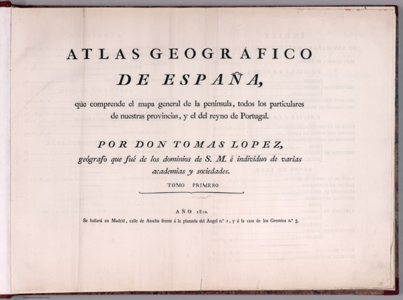  |
Atlas geografico de Espana : que comprende el mapa general de la peninsula, todos los particulares de nuestras provincias, y el del reyno de Portugal. por Don Tomas Lopez, geógrafo que fue de los dominios de S.M. e individuo de varias academias y sociedades. Tomo Primero. Ano 1810. Se hallara en Madrid, Calle de Atocha frente a la plazuela del Angel no. 1, y a la casa de los Gremios no. 3. 1810. Second edition of the geographic atlas of Spain, published in 1810, with half title page, 4 pages of index, contents and text. Comprising 38 maps on 98 sheets, Madrid (sheet 99) added later by owner, along with three other maps later removed. Some maps on multiple sheets. Maps dated 1765 - 1802. Contains the general map of the peninsula, all the provinces, and the kingdom of Portugal By Don Tomas Lopez. Maps are engraved outline hand colored, with decorative title cartouche, text and tables, showing administrative divisions, major cities, towns, villages, landmarks, public buildings, roads, rivers, canals and mountains. Bound in half leather marbled paper covers with title " Atlas geografico de Espana I” on spine in gilt. Relief shown pictorially. Don Tomas Lopez (1730-1802) a Spanish cartographer, began his studies at the Imperial College of the Spanish capital. In 1752 he went to continue his training in Paris to learn cartography with the great French mapmaker Jean Baptiste Bourguignon d'Anville (1697-1782). In Paris he was accompanied by, among others, Juan de la Cruz Cano y Olmedilla, Manuel Salvador Carmona and Alonso Cruzado. In 1804, Lopez published his “Atlas Geographic of Spain”, the first atlas of Spain that produced by a Spaniard. The children of Lopez reposted this work in a new edition in 1810 and again in 1830. View Atlas |
   |
Voyage de MM. Alexandre de Humboldt et Aime Bonpland. Atlas Geographique et Physique, pour Accompagner la Relation Historique. Sixieme livraison. Paris, J. Smith, Rue Montmorency, No. 16; Londres, Dulau et Compie., Soho-Square. 1831. Imprimerie de J. Smith. 1831. “This atlas was issued as part of Humboldt and Bonpland’s Voyage aux régions équinoxiales du Nouveau Continent fait en 1799, 1800, 1801, 1802, 1803 et 1804 (Paris, 1808-1834), which was published in over thirty volumes over several decades…This atlas is important for many reasons, and its illustrations showed Europe and the entire world new scientific information for the first time. Humboldt’s groundbreaking exploration of the Orinoco River, for example, is delineated on two maps, one of which was the first to establish the precise location of and to show the connection between Rio Orinoco and Rio Negro, a question that had baffled geographers for three centuries…The Orinoco river maps are supplemented by maps of other rivers, many accurately depicted for the first time. Also significant are the profiles and maps of mountain ranges, which are depicted with scientific precision showing new information in novel ways. Many of the profiles are dramatically hand colored… The dramatic volcano plates are supplemented by several large-scale maps, which are masterful depictions of land forms. These studies were crucial to Humboldt’s later conclusions about the origin and nature of these natural structures and constitute one of his major contributions to the field of geology. Humboldt mapped many areas in an accurate fashion for the first time. Because riverbeds and stream courses interested him immensely, those features are often shown in great detail on the maps, which also depict other natural and man-made features, such as mountains, missions, roads, and settlements. His map of the Isthmus of Tehuantepec, for example, was from the latest available surveys recently done by the Mexican government (Humboldt was for fifty years an advocate of an interoceanic connection between the Atlantic and Pacific). The Cuba map is also an updated version and reflects his recent explorations of the island. Despite a few secondary sources, most of the maps are based directly on his extensive travels and observations during the course of his explorations. Perhaps the most remarkable map in this atlas is the first printing of a manuscript map that harks back to the very earliest European cartographic representation of the New World. This is the manuscript world map made by Spanish conquistador, cartographer, and explorer Juan de la Cosa (ca. 1460-1509), who sailed with the first three voyages of Columbus and was the owner of the Santa María. This portolan world chart incorporates lands discovered in America up to 1500 during expeditions by Spanish, Portuguese, and English expeditions to America. Juan de la Cosa’s mappa mundi is painted in ink and colors on ox hide (93 x 183 cm) and richly decorated. His map is believed to be “the earliest extant map showing any part of the continent of North America” (Schwartz & Ehrenberg, The Mapping of America, Plate 1, pp. 18-19)… Finally, going back to the beginning, the emblematic frontispiece engraving Humanitas. Literæ. Fruges (after the art work of artist Barthélemy Joseph Fulcran Roger) is not just another pretty, classical picture, but rather an expression of Humboldt’s deep philosophical concept of America and Europe expressed in iconography.” (Dorothy Sloan, Auction 22, 2009). This copy is unbound in original paper covers with multiple title pages. See our “Atlas Geographique Et Physique Du Royaume De La Nouvelle-Espagne,” 1811 for the other atlas volume in this series, concerning Mexico. View Atlas |
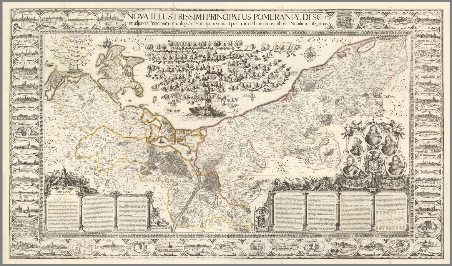  |
Nova illustrissimi principatus Pomeraniae descriptio cum adjuncta Principum genealogia et Principum veris et potiorum Urbium imaginibus et Nobilium insignibus. N. Geilkerckius sculpsit. [With] Pomeraniae et rerum in ea memorabilium brevis descriptio E. Lubini. 1618 (1758). Composite map of Pomerania, sheets 1-12. Large and impressive outline colored copperplate engraving map of Pomerania on 12 sheets, 42x54 or smaller, by Eilhard Lubin, Professor at the University of Rostock. In 1610 he was asked by Philipp II, the Duke of Pomerania to create a large scale map of the geography and history of the duchy. In 1612 map was completed, it was decorated with 49 town views, and coat of arms of the noble families. In 1618 the Dutch engraver Nicolas van Geelkercken, engraved the copperplates in Amsterdam, and a small number of sheets were printed. The plates disappeared in the thirty years war and were rediscovered by the historian Johann Carl Conard Oelrichs in 1758. The map shows 49 town views on the border, the family tree of the house of Griffins, dukes of Pomerania, with 157 names and small portraits, a small family tree of the house of Rugen, 5 large portraits of living dukes of different parts of Pomerania, and on the lower middle left sheet probably the portrait of Lubin himself. The map shows towns and villages, landmarks, churches, forest, rivers and mountains. Relief is shown pictorially. Lubin's Pomerania remained the most accurate map of the region from its inception in 1618 until the Prussian topographical survey of the eighteenth century. The map is extraordinary in the way that it combines the "mapping" of the history of the ruling families with the mapping of the topography of Pomerania. View Map |
 |
Shinkoku Taihei Take Mori Mata Akira. 1854. Wood block print, pictorial map of the coast defense of Tokyo Bay. Kawaraban Broadside Map depicting arrival of Perry's "Black Ships," describing the arrival of the American Commodore Matthew Perry to Edo Bay (Tokyo Bay) in 1854 (Kaei 6), after his earlier brief visit in 1853. The defensive ships identified by the warlord in charge and his armorial crest are around the bay to intimidate the invaders. Includes notes describing the troops and list of names of Samurais in charge of defense of Tokyo Bay. Includes an illustration in the upper right depicting an American soldier. Perry's ships were the first major western intrusion into Japan. “Perry, on behalf of the U.S. government, forced Japan to enter into trade with the United States and demanded a treaty permitting trade and the opening of Japanese ports to U.S. merchant ships. This was the era when all Western powers were seeking to open new markets for their manufactured goods abroad, as well as new countries to supply raw materials for industry. It was clear that Commodore Perry could impose his demands by force. The Japanese had no navy with which to defend themselves, and thus they had to agree to the demands… Upon seeing Perry's fleet sailing into their harbor, the Japanese called them the "black ships of evil mien (appearance)." Many leaders wanted the foreigners expelled from the country, but in 1854 a treaty was signed between the United States and Japan which allowed trade at two ports. In 1858 another treaty was signed which opened more ports and designated cities in which foreigners could reside. The trade brought much foreign currency into Japan disrupting the Japanese monetary system. Because the ruling shogun seemed unable to do anything about the problems brought by the foreign trade, some samurai leaders began to demand a change in leadership. The weakness of the Tokugawa shogunate before the Western demand for trade, and the disruption this trade brought, eventually led to the downfall of the Shogunate and the creation of a new centralized government with the emperor as its symbolic head.” Source: Asia for Educators, Columbia University. View Map |
   |
Handatlas der Allgemeinen Erdkunde, Laender- und Staatenkunde, In 80 Karten. Herausgegeben von L. Ewald ... Nebst einem Handbuch der allgemeinen Erdkunde. Laender- und Staatenkunde von Dr. E. Eder. Darmstadt, 1860. Verlag von Jonghaus & Venator's Kartogr[aphisch].-artist[ischen]. Anstalt. 1860. Looseleaf color atlas with accompanying text sheets, all in unbound original publisher's parts/sections. Relief depicted with hachures. Atlas was conceived of and initiated by Georg Leonhart Bauerkeller beginning in 1844 by subscription. From at least 1845, Ludwig Ewald was a primary author and was responsible for drafting the maps. Considered by authorities to be one of the most beautiful atlases of the 19th century, it is particularly noteworthy for its quality registration, sharp images, use of brown for relief and solid blue for water, multi-color lithography, and it's scope of content. Particularly noteworthy presentations being: map, diagrams and illustrations of glaciers in the Alps (No.14. Die Gletscher der Alpen - List No 12189.036); an elevation diagram of major mountains and sea depths (No.39. Hoehen und Tiefen - List No 12189.061); map of Switzerland with relief depicted with hachures and giving a shaded relief 3-D effect (No. 54. Die Schweiz - List No 12189.076). Most of the text planned to accompany the maps was never completed. The atlas was largely ignored by contemporary and subsequent scholars despite its high quality. This is Espenhorst version 19.1.0-19.1.1.3. It consists of the initial set of 80 maps plus two sets of supplemental maps totaling 12 sheets - mostly revisions of previous editions. This scanned set has most of the section title pages at the end because the 80 sheets were not originally issued in the table of contents order that we present. Bauerkeller was also known for his three dimensional maps of cities, see our copies of London, Paris, Hamburg, and others. View Atlas |
 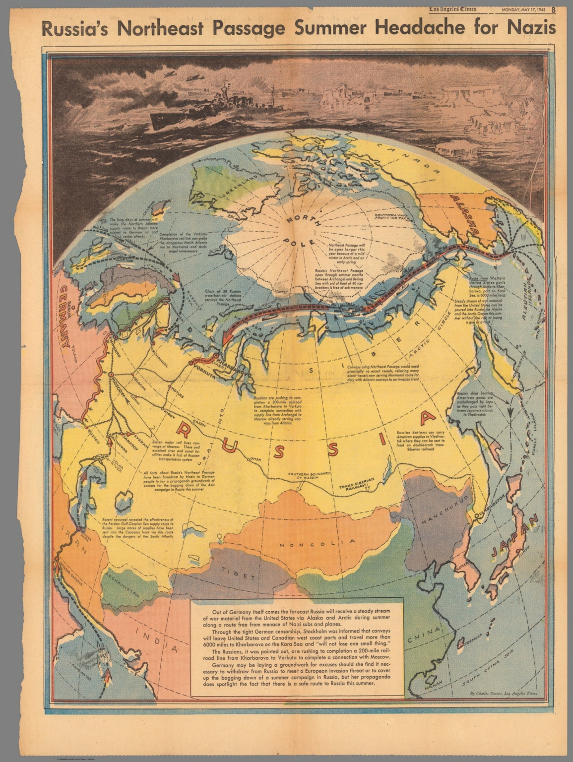 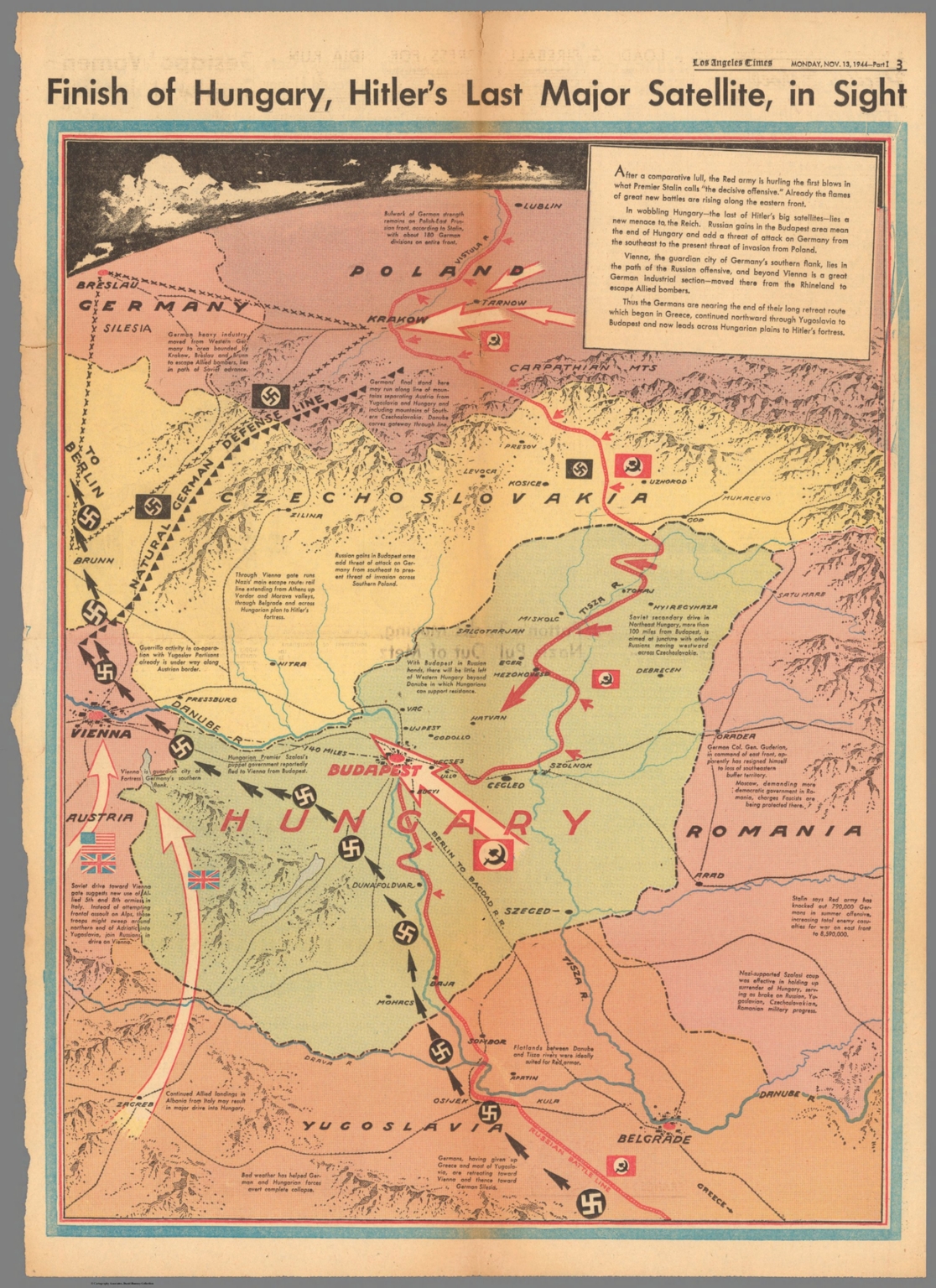 |
42 Los Angeles Times World War II Maps, 1942-1945. Group of pictorial newspaper maps issued during World War II by the Los Angeles Times. Many are by Charles Owens. A few of the maps are post war. View Maps |

- Featured Maps
- January 25, 2022
More Than Digital Copies: Maps That Interpret Maps
When we digitize historical maps we create copies that can be shared and used by all. But we also create the potential to repurpose these copies to advance understanding of the original maps. To do this, we create composite maps, georeferenced maps, composite views, interactive globes, composite texts and other types of digital versions that expand map interpretation and enhance use. Below are some examples of these interpretive maps that we have created over the past 20 years. To date we have created 1,674 interpretive composite maps, views, and texts as well as over 56,000 georeferenced maps.
Click on any of the images below to view the interactive online version.
The 1914 Atlas of Egypt shows the entire Nile River in 165 sheets at a large scale of 1:50,000. We combined all 165 sheets, georeferenced them, and overlaid them on modern maps below to show changes.
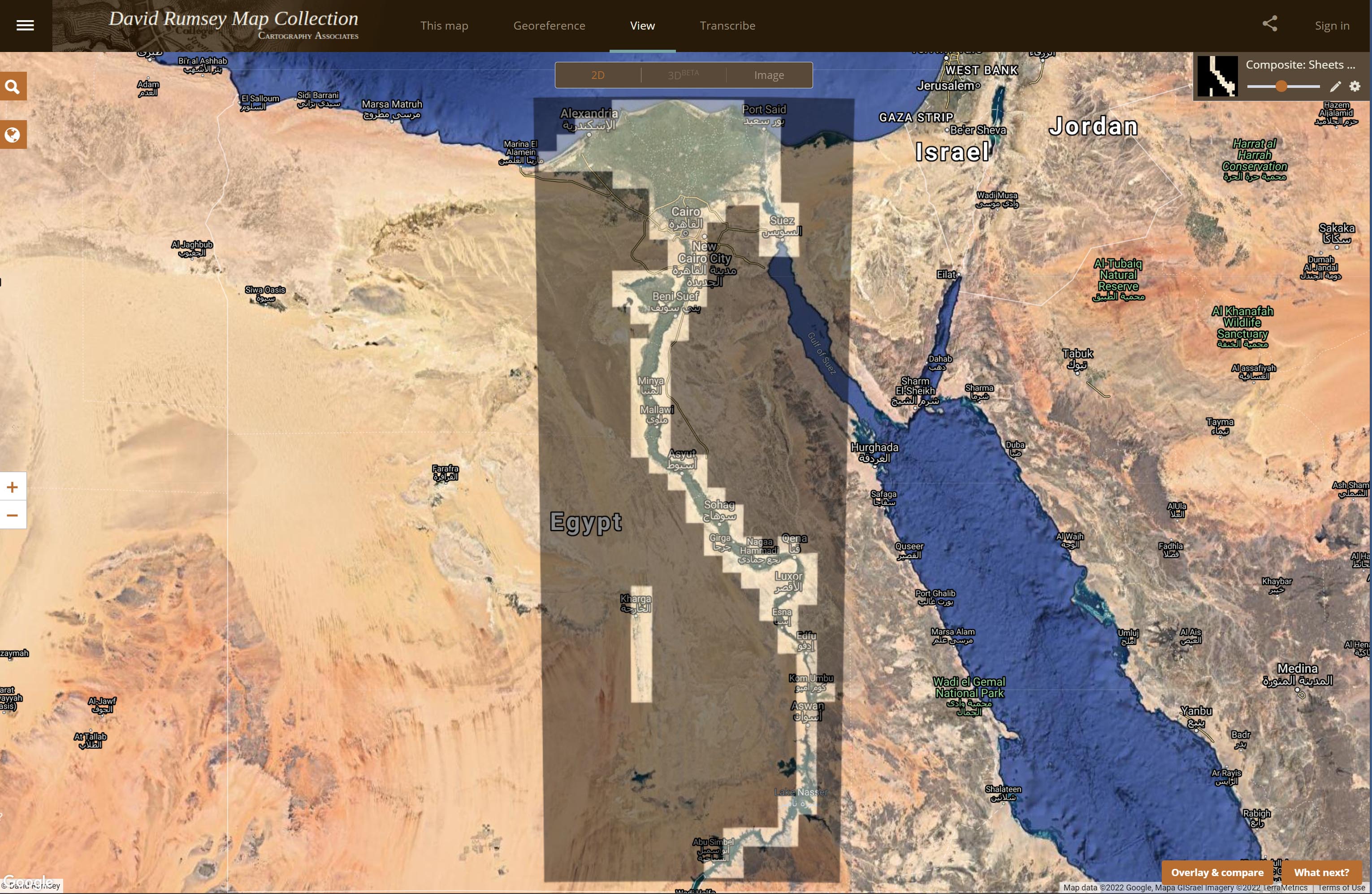
The 165 separate sheets of the 1914 Atlas of Egypt
All 165 sheets of the Atlas of Egypt joined. The joined sheets give a complete view of the Nile and its huge delta.
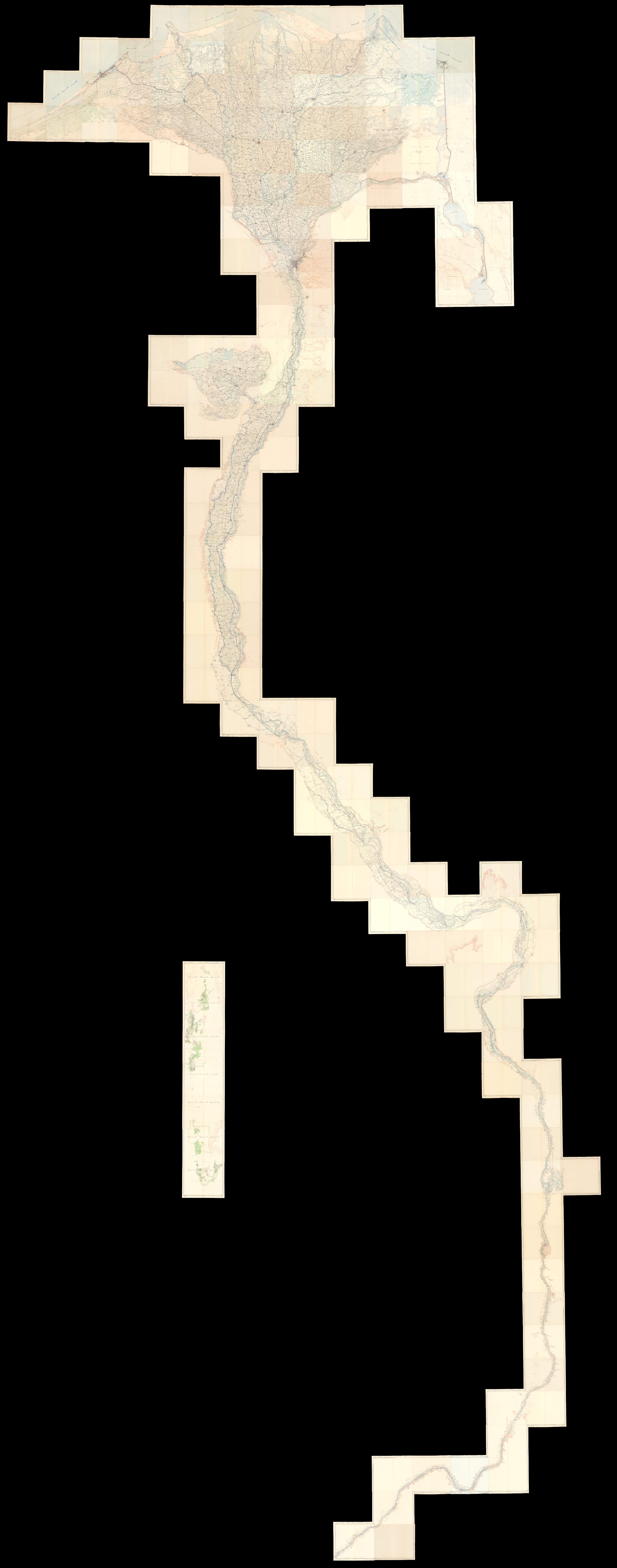
Detail of the Atlas of Egypt sheets showing the original Nile river course underneath Lake Nasser.
Matthew Flinders' 16 charts published in 1814 were among the first to map the coast line of Australia.
Here the 16 Flinders Australia charts are joined and overlaid on the general chart to show how all the charts fit together.
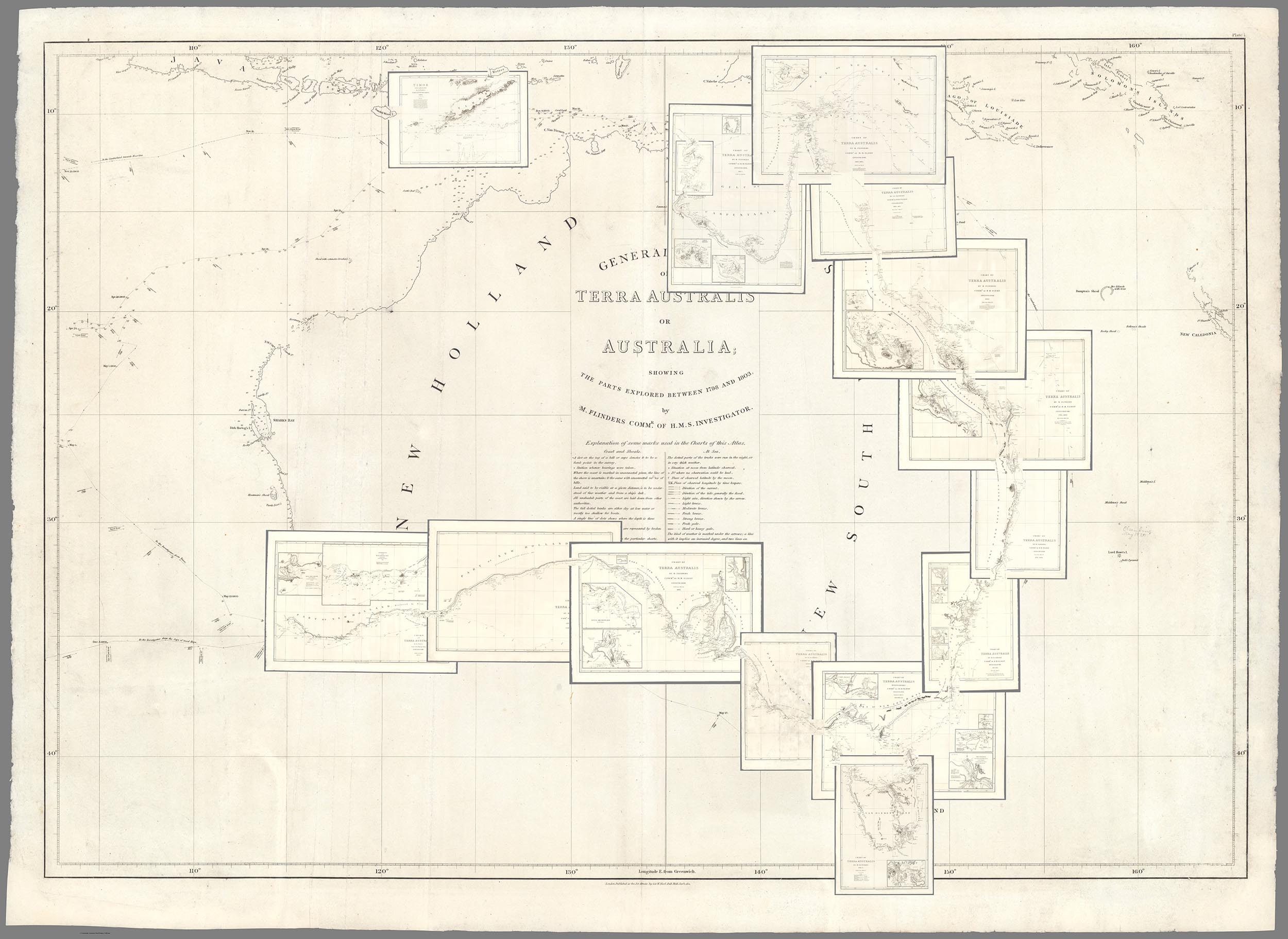
Baron Haussmann published these 16 separate maps of Paris in 1868 to show his proposed new boulevards that would transform Paris into a modern metropolis.
This new map image joins all 16 separate sheets of Paris to show the entire city as one map. It gives a much better picture of Haussmann's changes than the separate maps do by themselves.
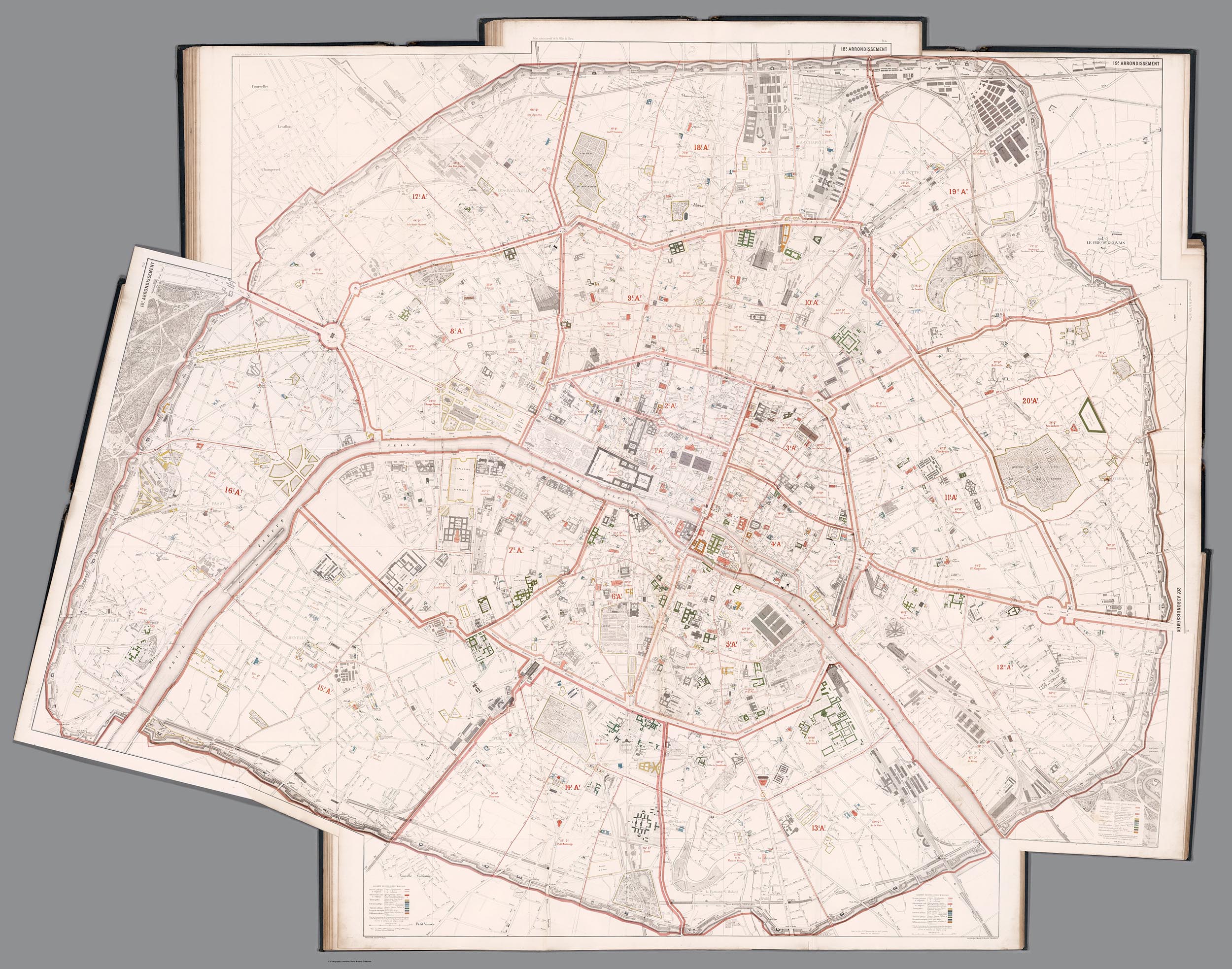
Architect and data visualizer Richard Saul Wurman in 1963 created with his students a book - The City, Form and Intent - with images that enable comparison of 50 cities in different parts of the world at the same scale, 1:14,400. This composite map below shows all 50 cities at the same scale in one image.
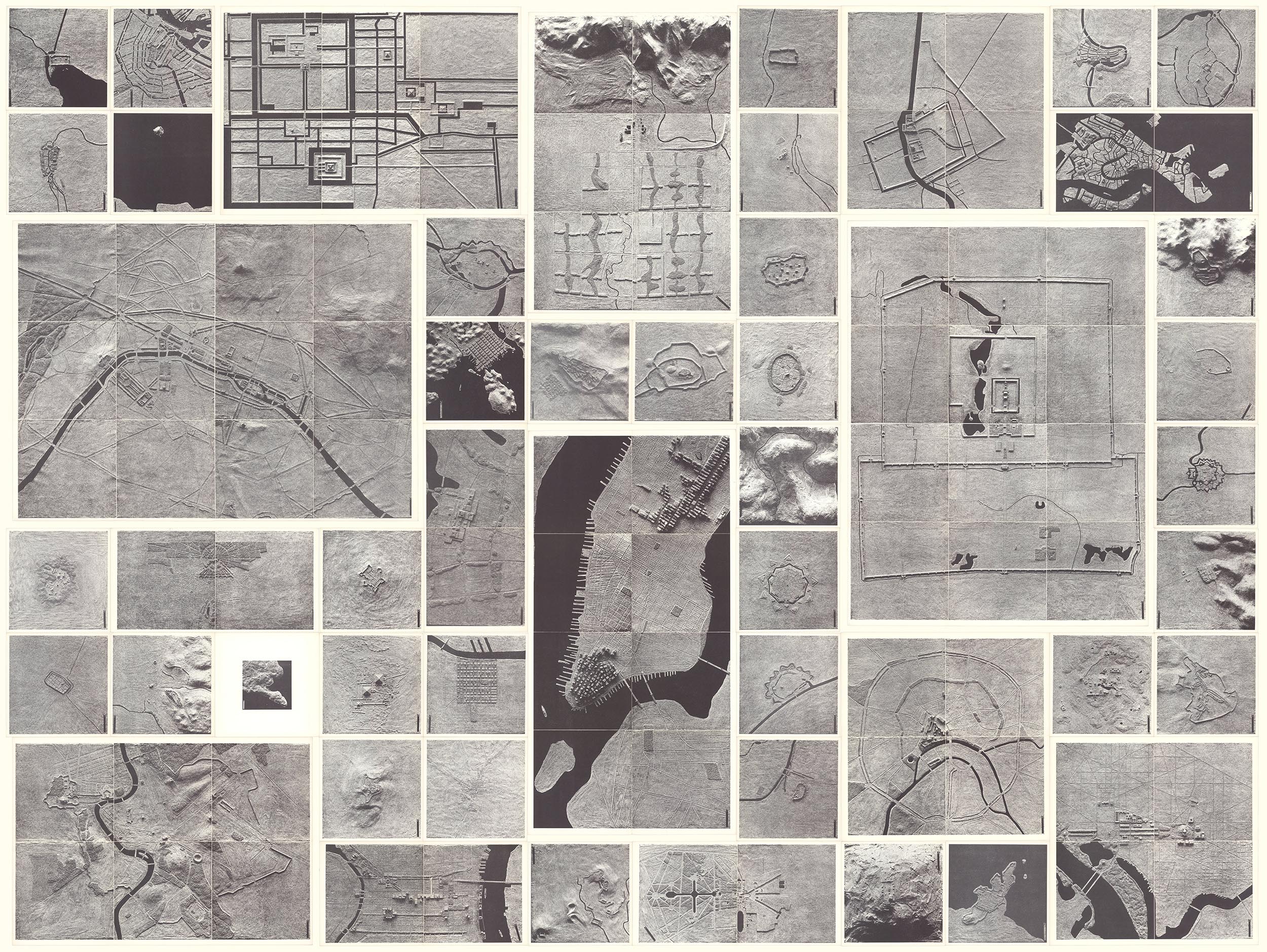
Below are the separate images of the 50 cities that are not able to show relative size because of the digital display system - digital images tend to all look the same size.
The United States Air Force and NASA produced 44 maps of the moon in the early 1960's that combined earth-based telescope observations with existing photographs, adding lunar features artistically drawn and airbrushed with India ink. All 44 maps in the series were joined using GIS to georeference them in their native projections, Lambert Conformal for the top and bottom 3 rows and Mercator for the 2 middle rows north and south of the equator. Then the joined images can be reprojected as below into a single orthographic projection.
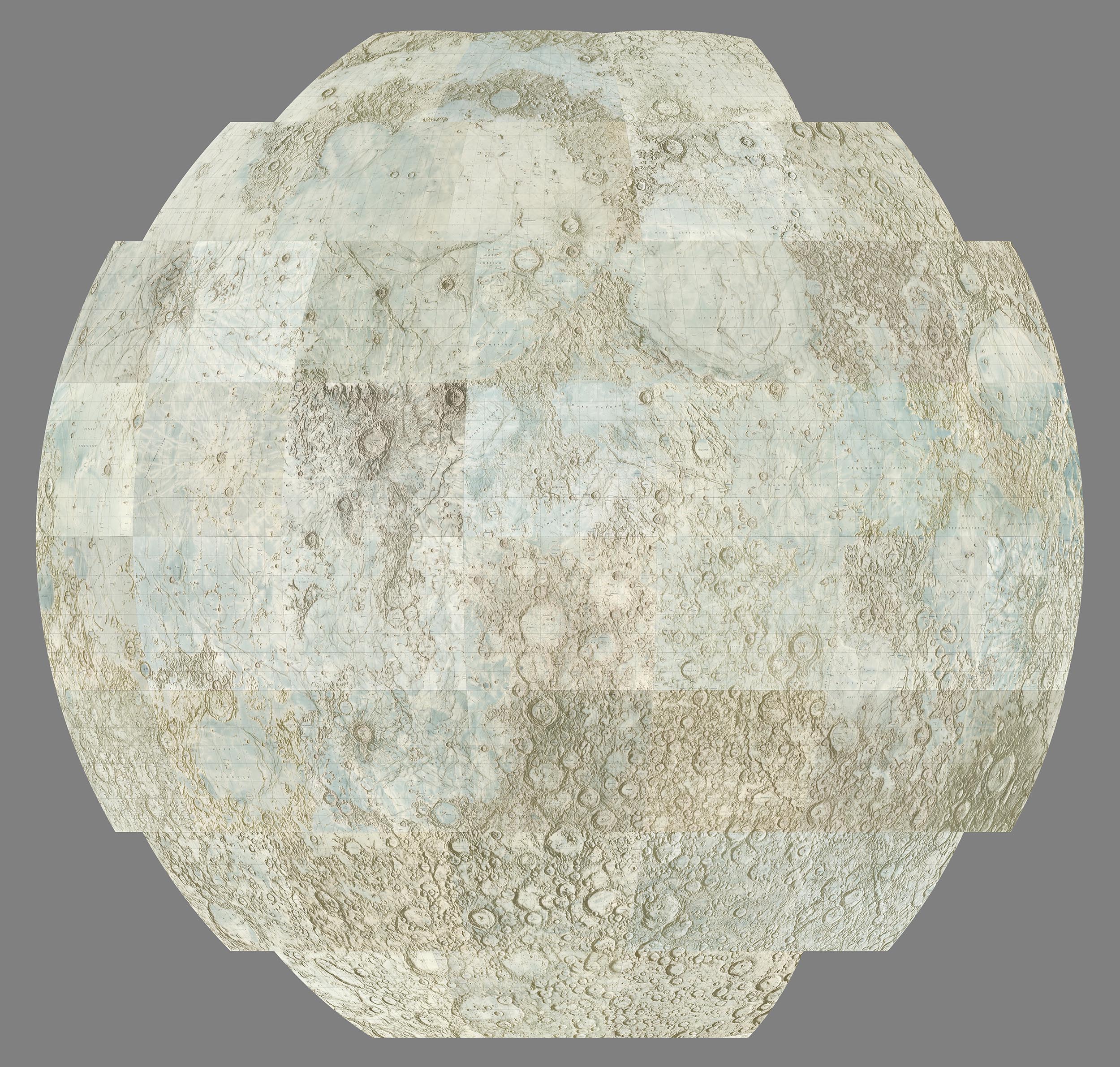
The 44 United States Air Force and NASA separate maps of the moon are below.
An interactive three dimensional globe has been created from the 44 georeferenced moon map images.
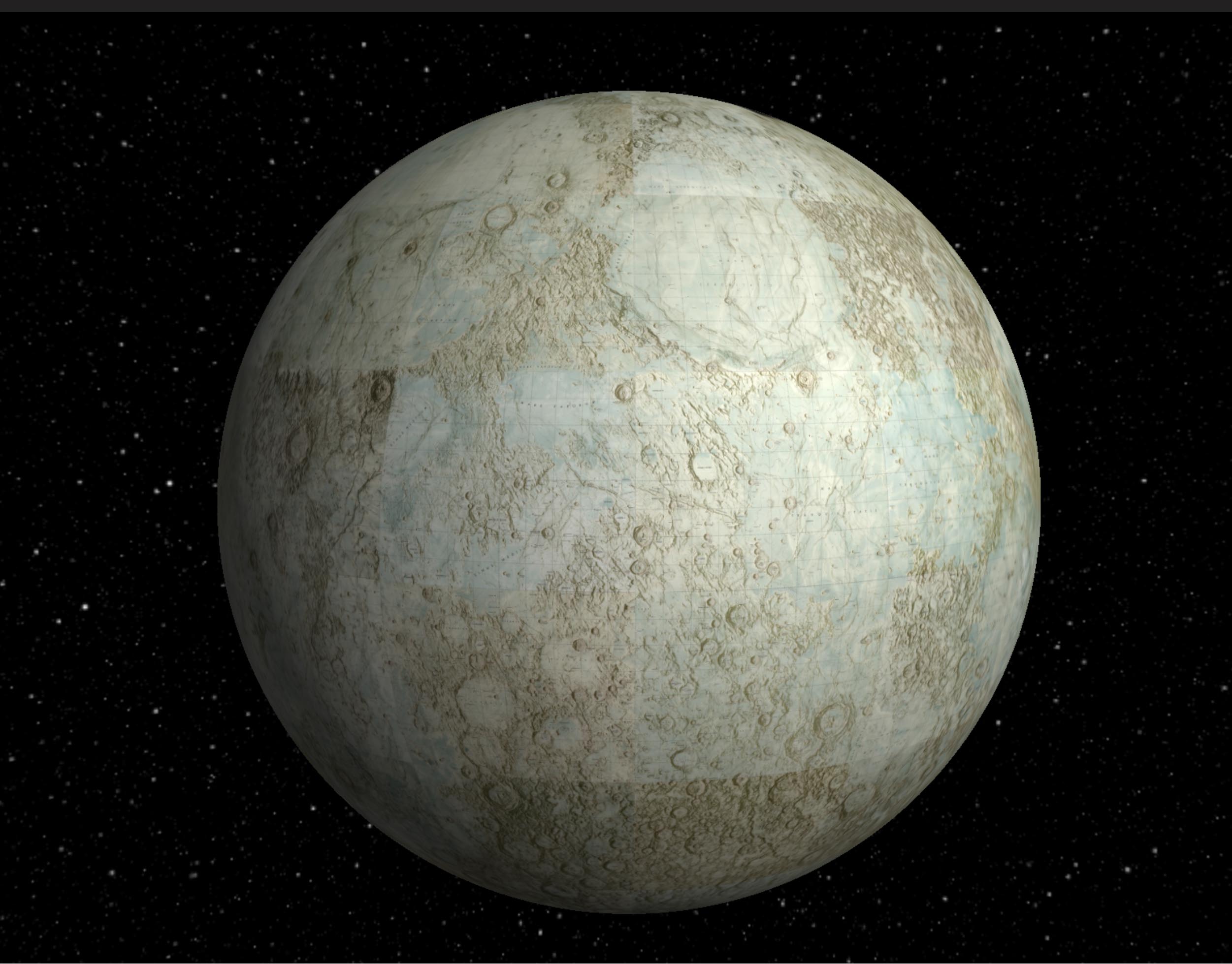
Clarence King and his 40th Parallel Survey of 1876 made 5 maps showing a broad cross section of the American West, something not attempted before. Joining the 5 maps together digitally enables a much better understanding of the importance of the work. Below is the set of 5 geologically colored maps.
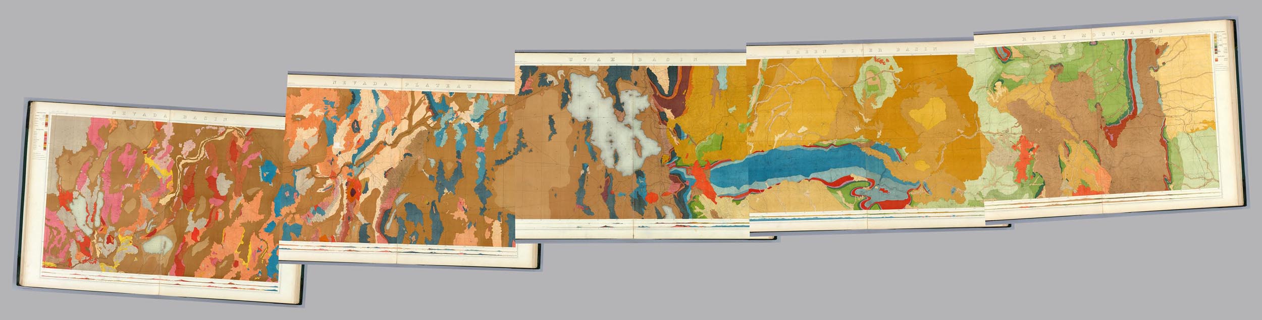
Below are the same 1876 King Survey maps showing only the topography.
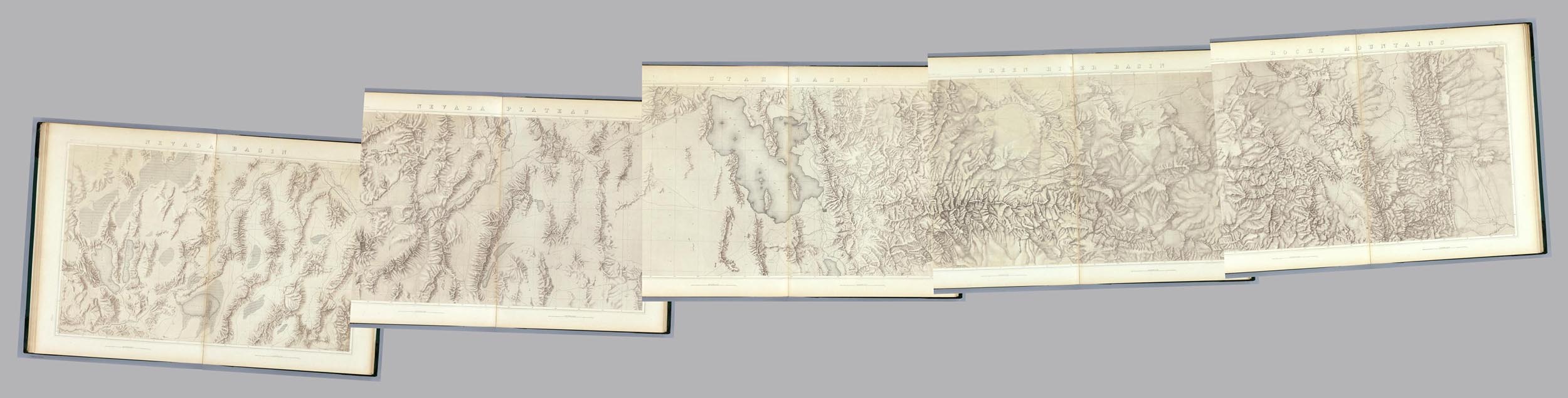
5 separate sheets that when joined below create a 360 degree view of Santiago, Chile, in 1823.
Here the sheets are joined together which enables a complete comprehension of the artist's intent.
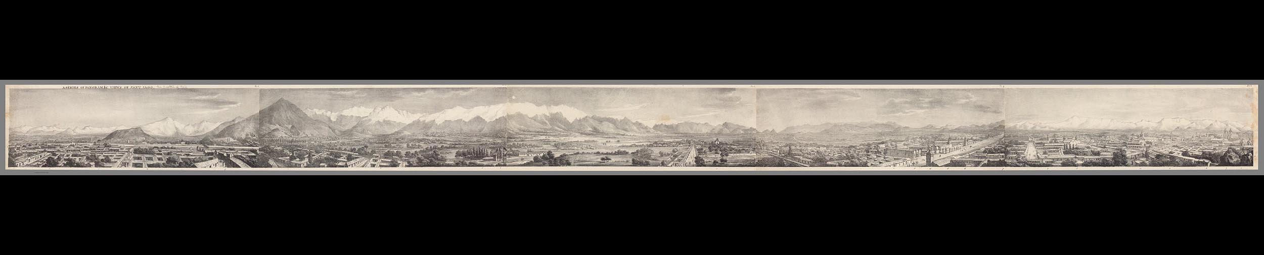
In 1698 Italian map and globe maker Vincenzo Coronelli created an unusual globe of the heavens that was meant to be seen from inside the globe, not from the outside as most celestial globes were made then. He made reverse or counterproof versions of his celestial globe gores for his 1 meter globe to accomplish this. The gores are shown below.
This is the north polar calotte globe gore that covered the top of the globe.
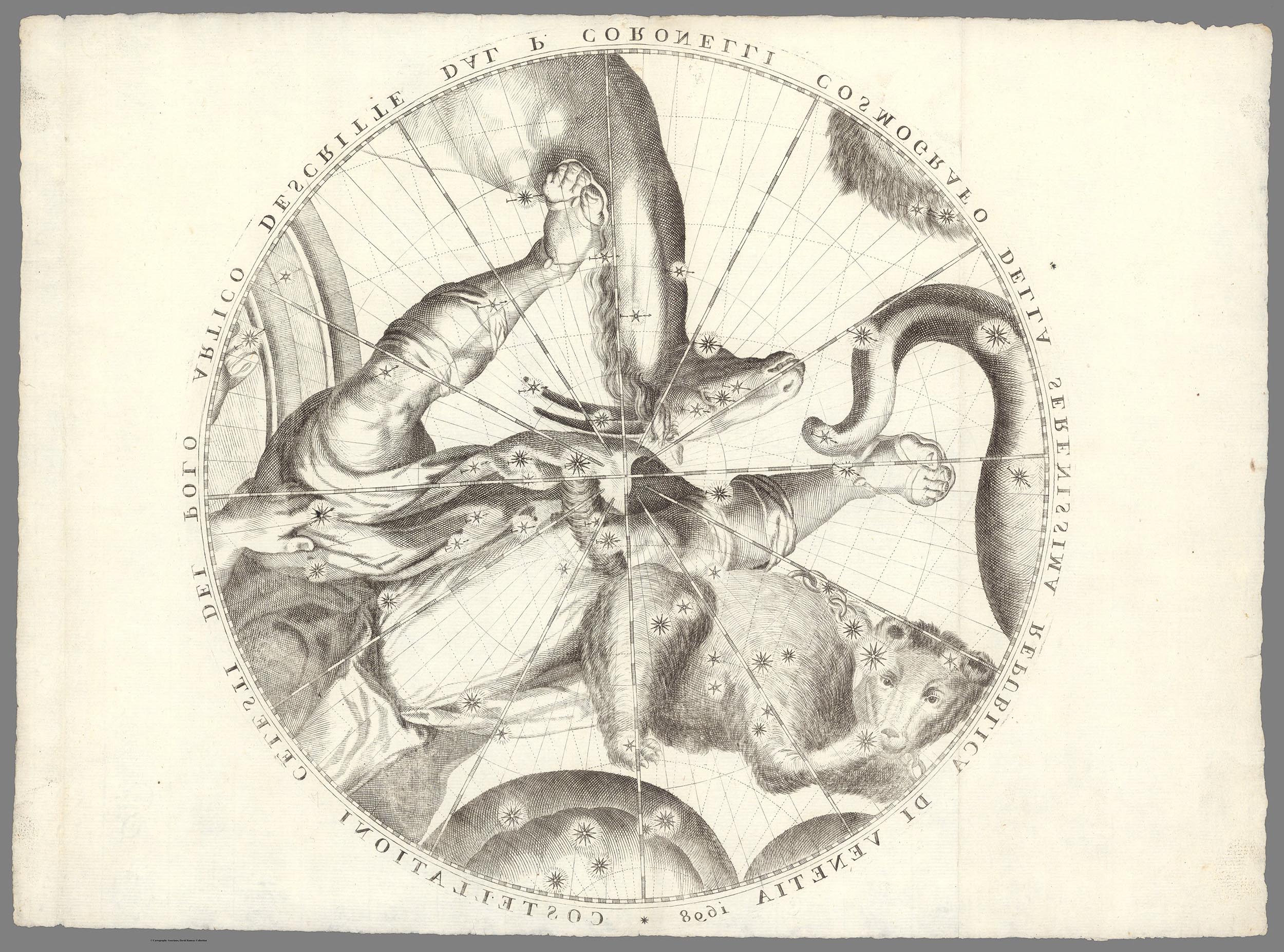
This is a typical globe gore
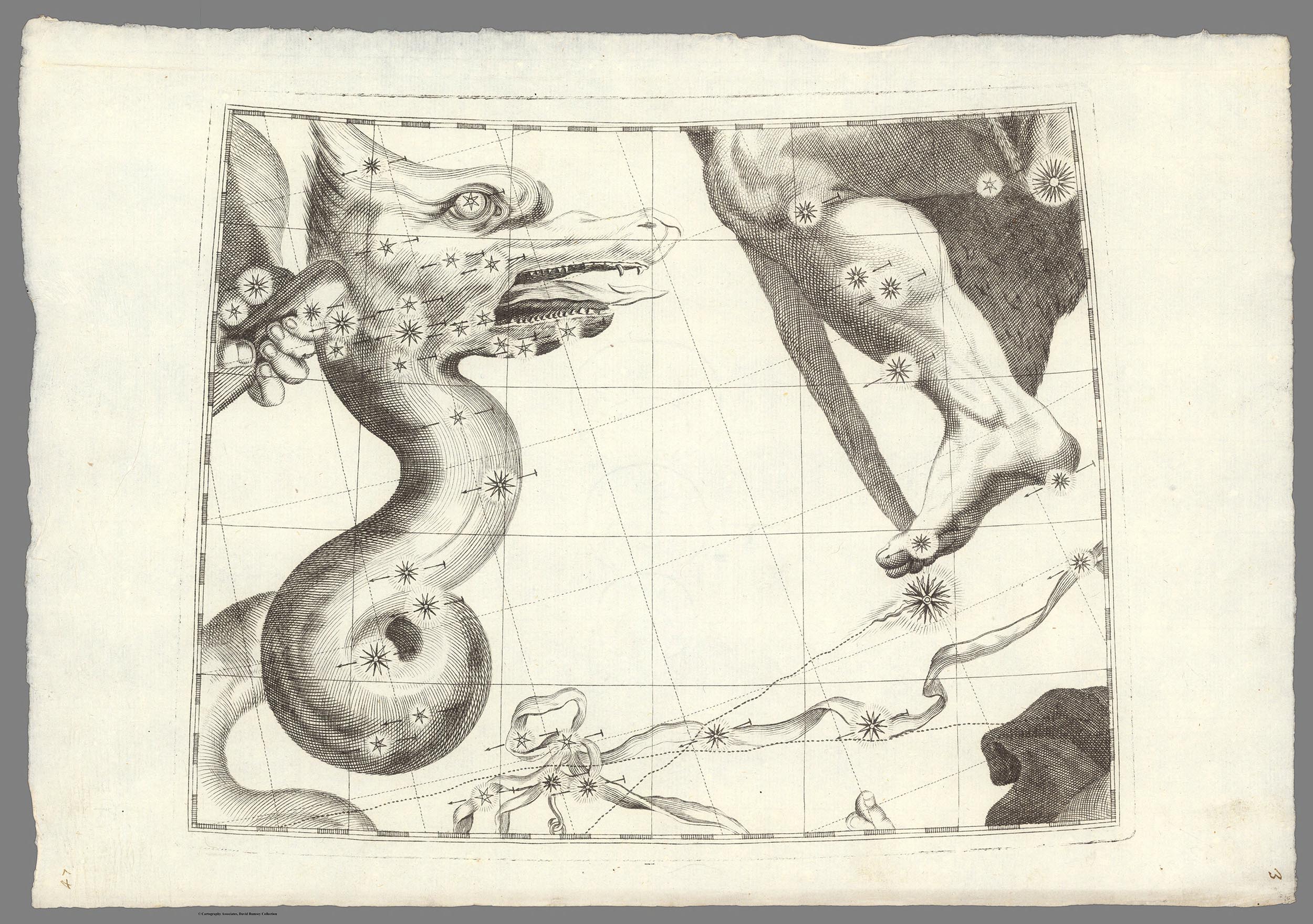
Here the 44 globe gores and the north and south polar calottes are joined together using a combination of georeferencing to join the 4 gore parts into single gores and photoshop to create the joining of all 12 complete gores and the calottes.
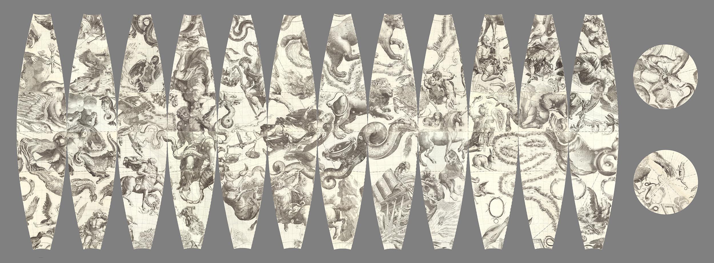
All gores and calottes are joined together using GIS to create a continuous image that can be projected onto the inside of a globe giving a geocentric view of the heavens. Click on the image to see the interactive interior globe.
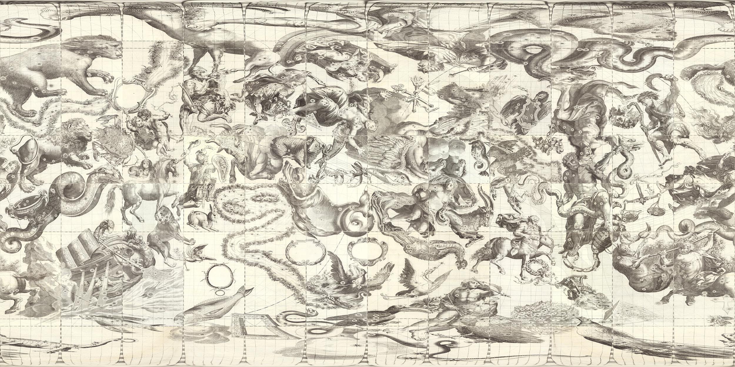
This is the more typical version of the celestial globe as seen from the outside or God's eye view.
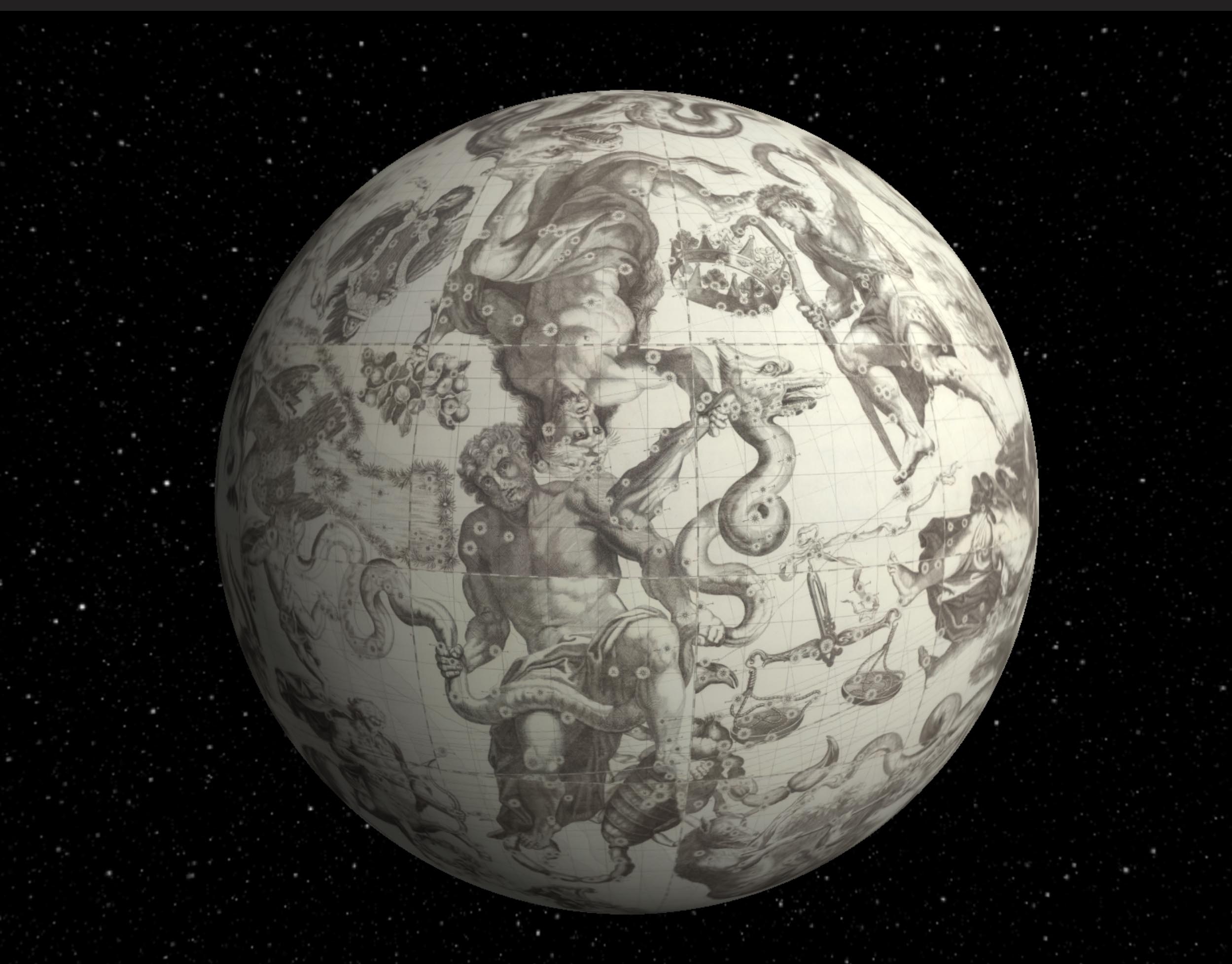
This is a Map of Yosemite Valley made in 1883 by the Wheeler Survey. It was the first accurate map of the valley made by trigonometric survey.
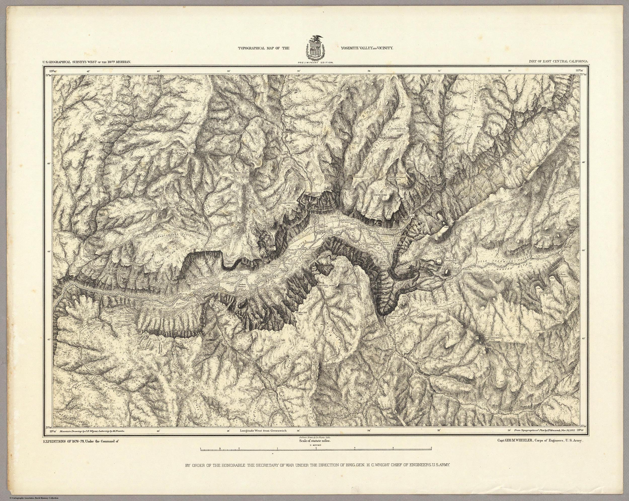
Here the map has been georeferenced in our online georeferencer tool and can be compared to the modern topographic map of the valley to see changes over time. Click on the map to see the live version with the transparency slider in the upper right.
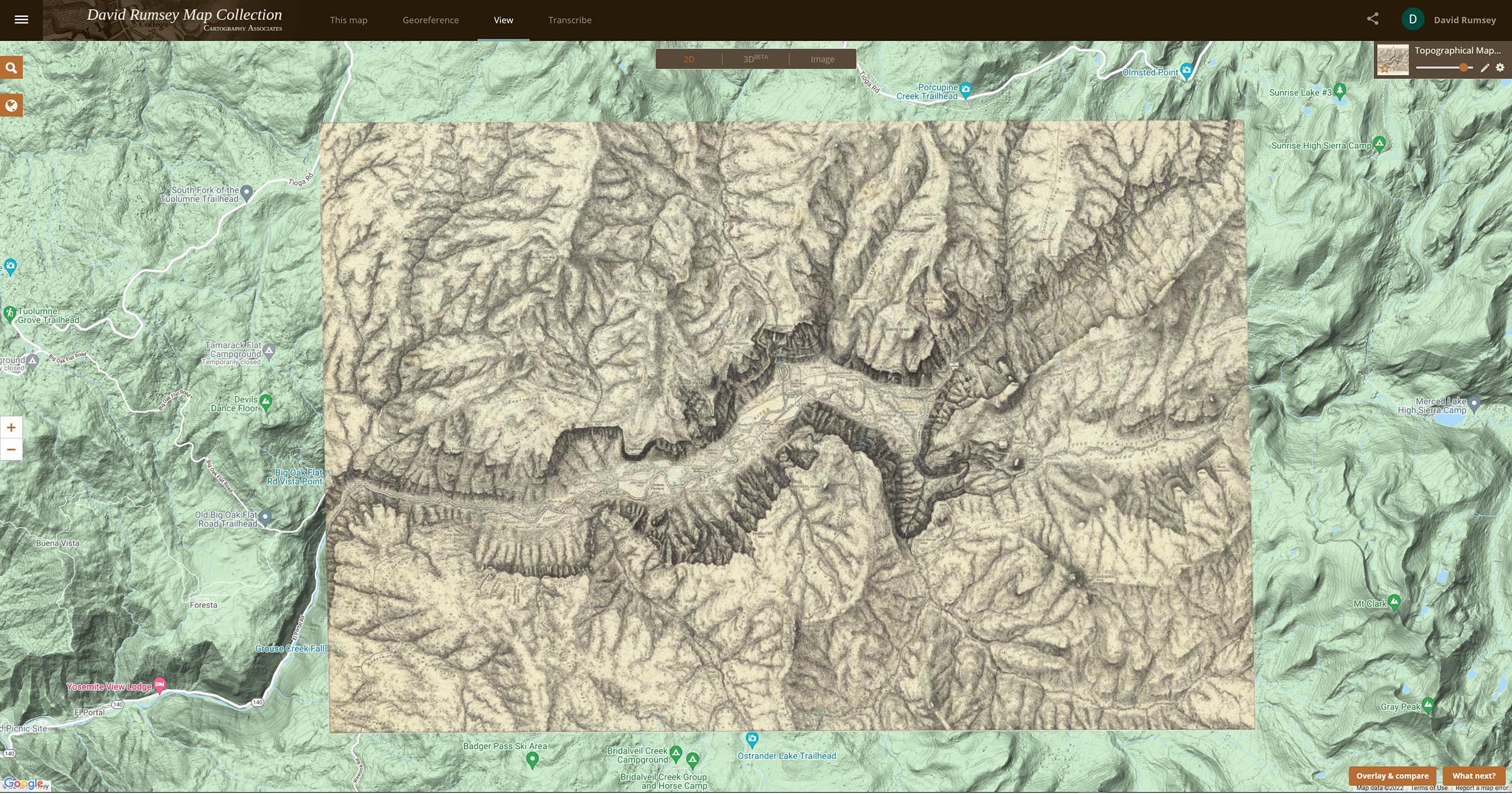
The Georeferencer Compare page below shows a Swipe view of two maps of the Yosemite Map - the present day map and the 1883 map. Click on the image to go to the Compare page Swipe view in Georeferencer for this map:
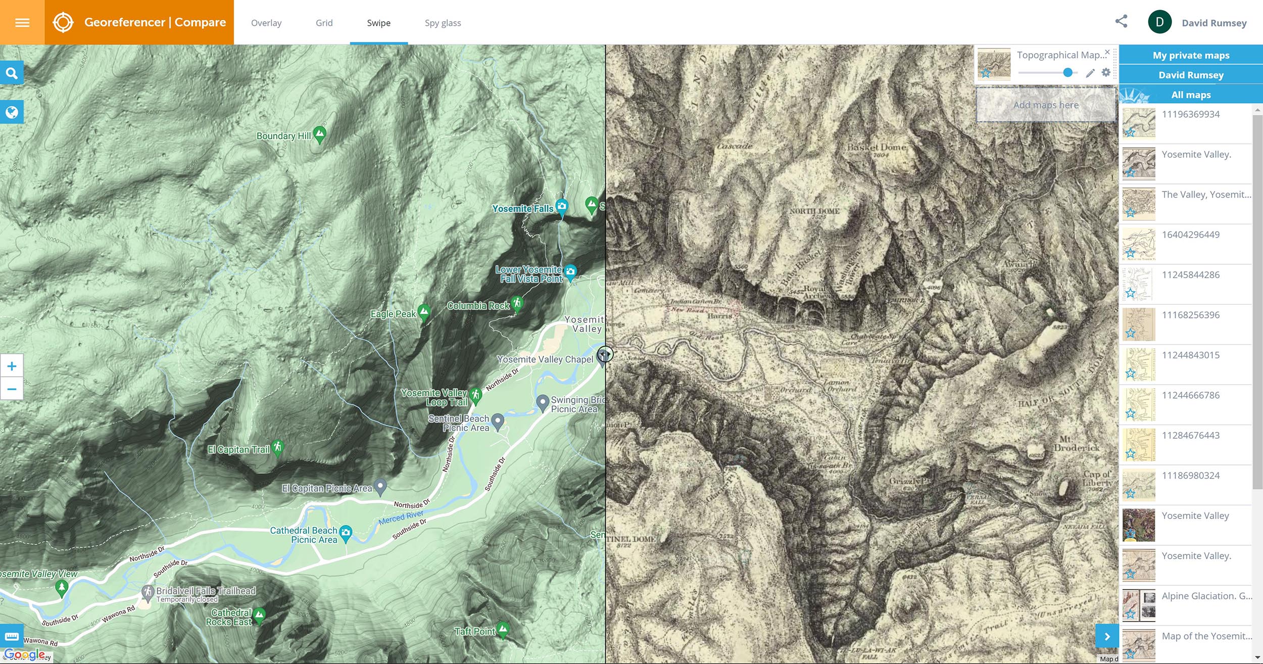
The Georeferencer Compare page below shows a Grid view of four maps of the Yosemite Valley made at different times from the present back to 1868. Click on the image to go to the Compare page Grid view in Georeferencer for this map:
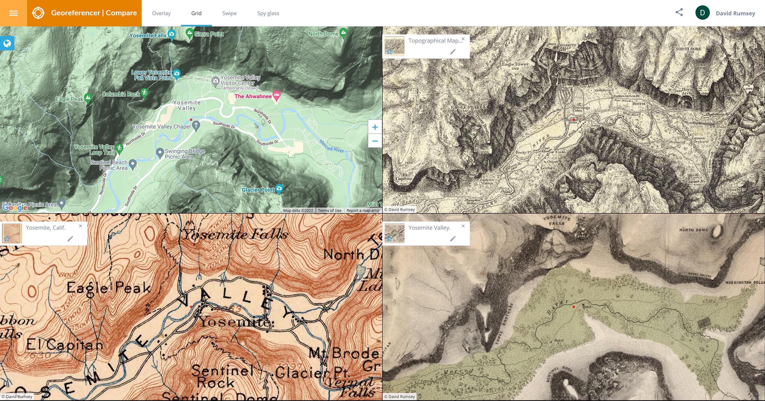
The Georeferencer Compare page below shows a 3D view of the Yosemite Map. Click on the image to go to the 3D view in Georeferencer for this map (requires sign in to a free account):
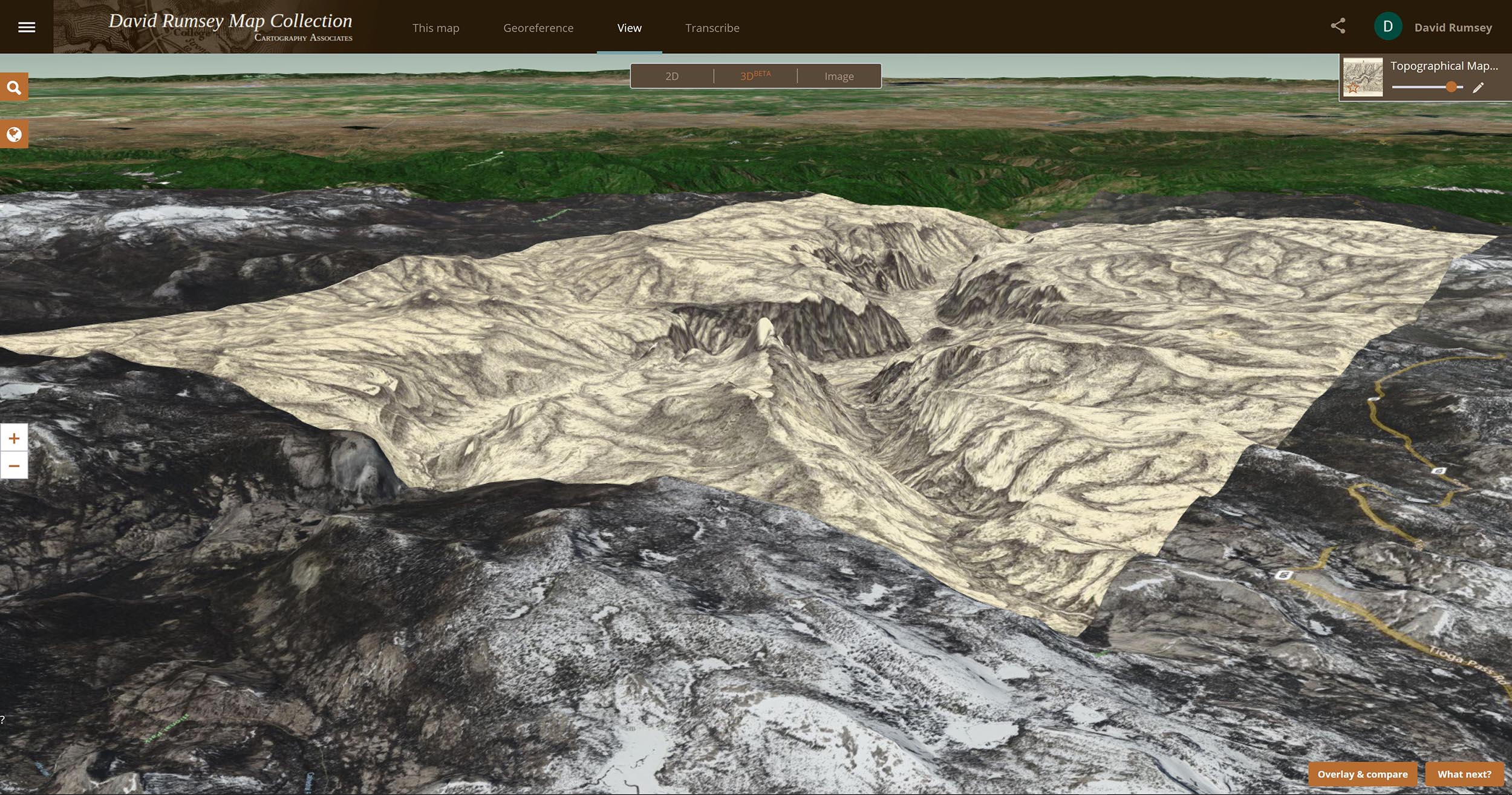
This is a text composite of all the text pages in the 1525 Strassburg edition of Ptolemy's Geographica. The 259 pages plus title page read left to right then down. The composite text image allows for smooth reading of the text, can be OCR enabled, and gives an overview of the entire corpus of text. Click on the image to read the text.
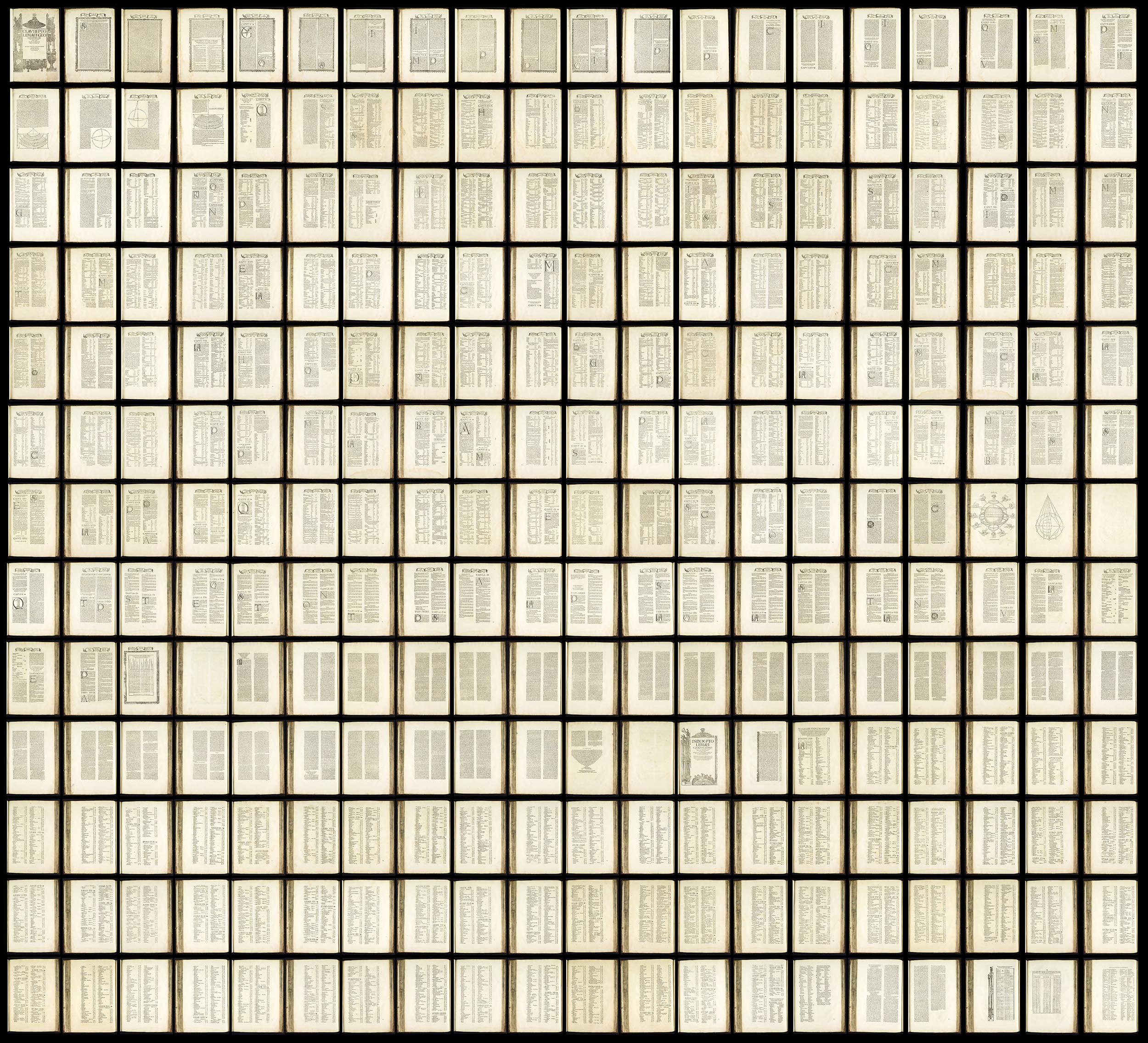
In 1775 Jean Baptise Michel Jaillot published his history of Paris - Recherches Critiques, Historiques et Topographiques Sur La Ville de Paris. The 7 volumes included 25 detailed maps of the city. In 1777 and 1778 Jaillot combined the 25 sheets to make one large map of Paris. This composite shows the rough positions of all 25 maps of Paris neighborhoods and illustrates the complexity of joining them all together to make one map. Jaillot added various infill map sections at the edges and the decorative border to make the full map.
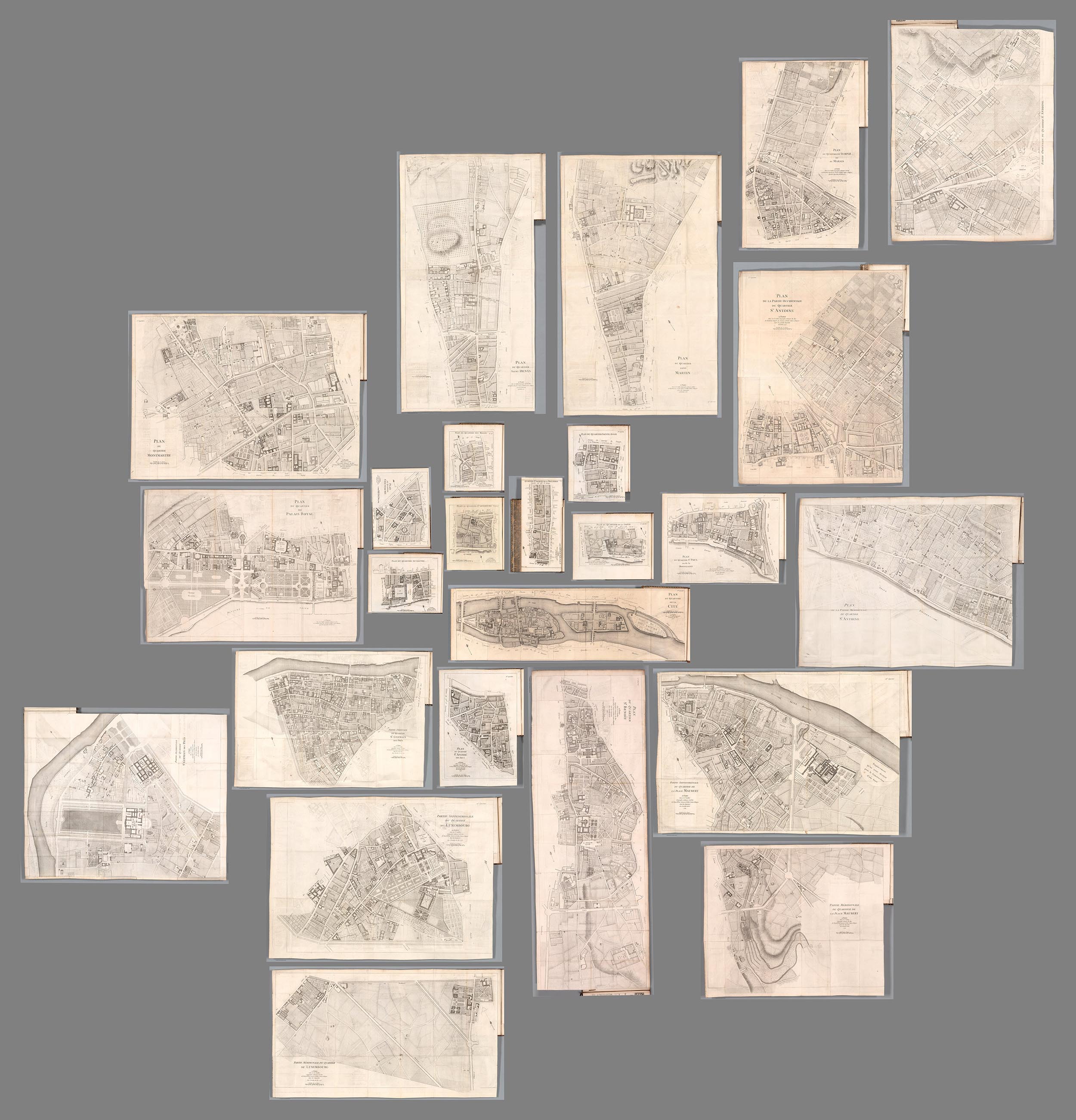
This is the map that Jaillot made from all the 25 parts plus infill sections. In the history of Paris mapping, usually map makers would make the full map first and then create smaller parts from it for other purposes but Jaillot did it the other way round. If you look closely at this map below you will see the section lines where he joined the 25 separate maps.
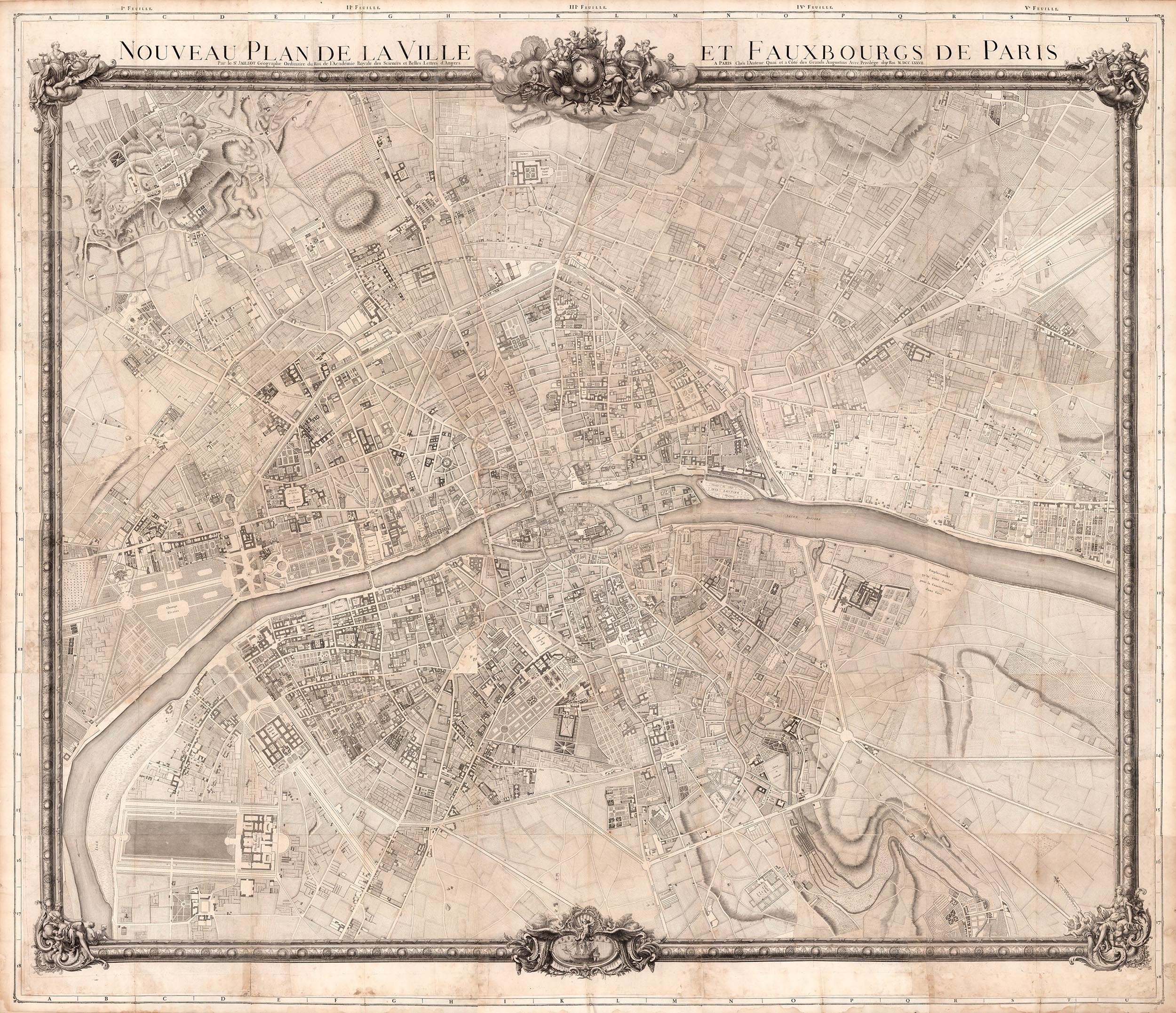
Apparently demand for Jaillot's large map was not what he expected so he decided to create a 30 sheet Atlas of Paris volume in 1778 by cutting the large map into 30 book sized sections and adding a title page, index and binding. So he had come full circle from his original 25 separate maps of Paris for his history.
This large map of France made from 182 sheets of the 1750-1818 Cassini survey gives a view of the country at multiples scales that are not possible with the individual maps unless one tried to join them physically which would result in a map 40 feet square. This composite map is a dramatic example of the interpretation made possible through the use of derivative maps like this. Georeferencing this map, which we have done, also allows further mining of the map data to show changes over time.
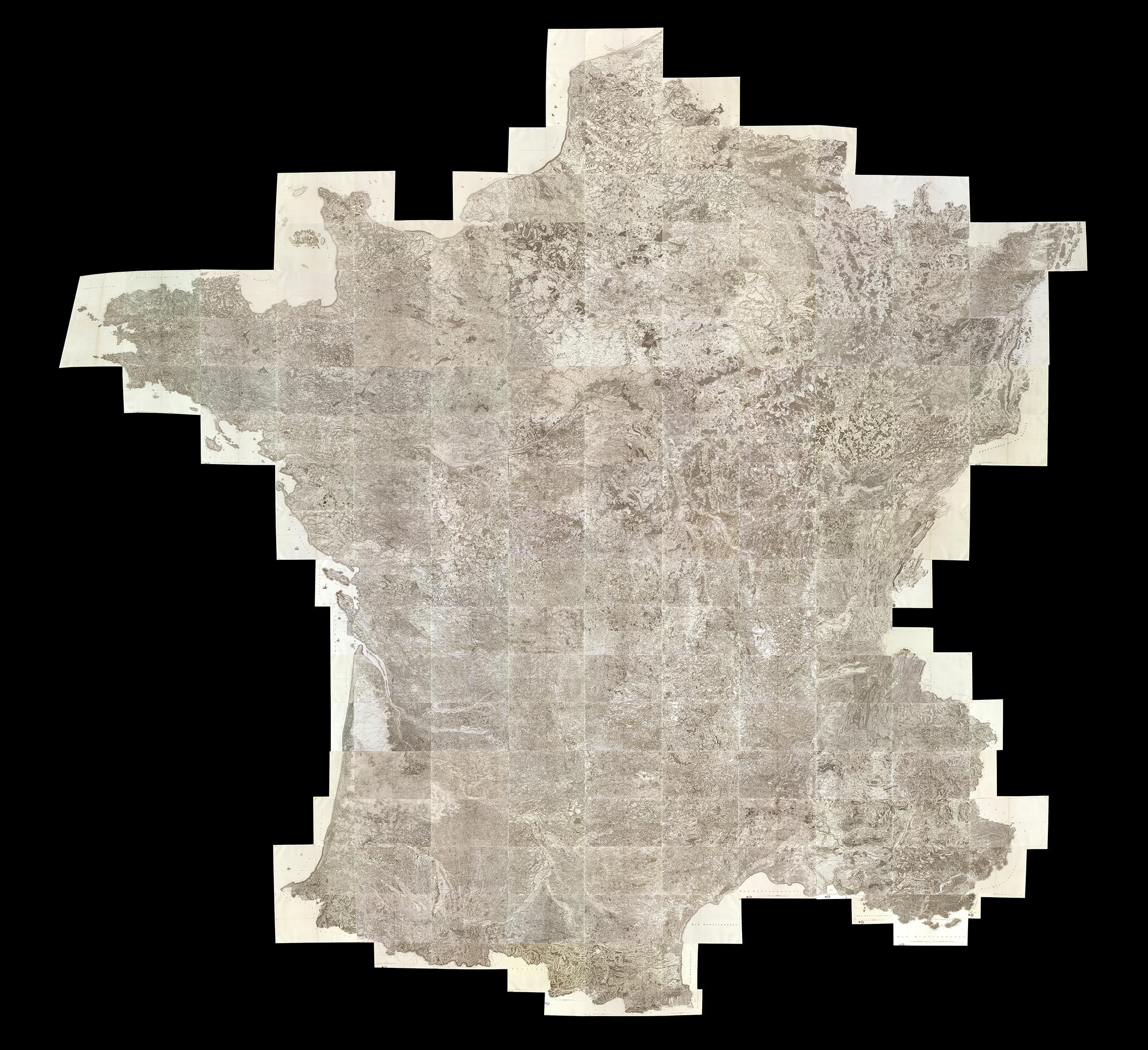
Our largest composite map is this 674 sheet assemblage of the Karte des Deutschen Reiches - the 1893 survey of Germany at a scale of 1:100,000. Like the Cassini France composite, we also georeferenced this map, in fact the map was built in GIS layers as it proved too large for photoshop to create.
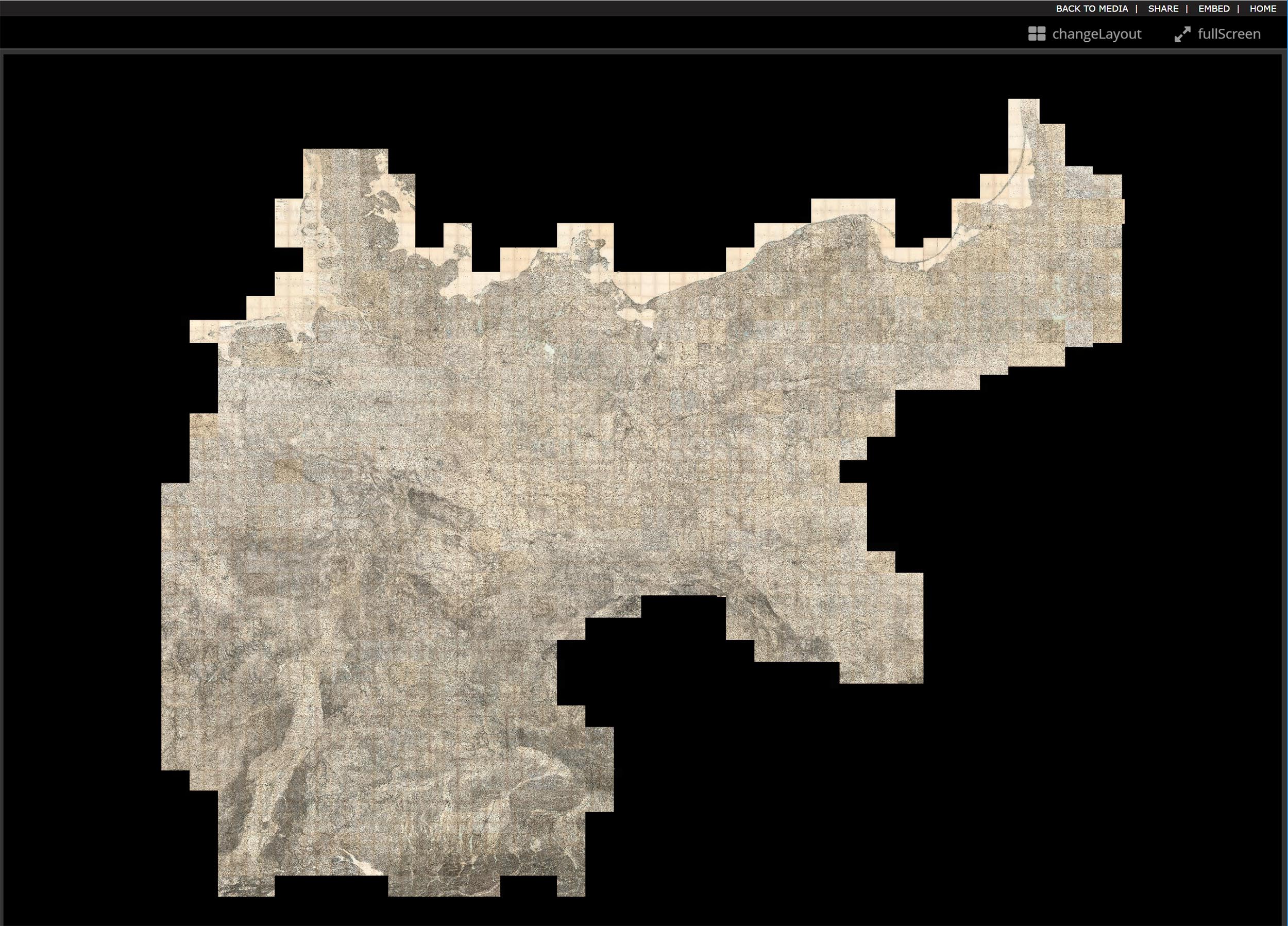
A more modest composite map but equally interesting is this 6 sheet manuscript map made by the First Operating Division of the Western Division, Atlantic & Pacific R.R. (Railroad) in 1882. The survey runs from Albuquerque, New Mexico to Mojave, California.
The composite map below vividly shows the unusual orientation of the sheets as they proceed east to west.

Urbano Monte of Milan, Italy, made his hand drawn map of the world from 66 sheets that when joined created a world map 10 feet in diameter. Monte never was able to assemble his map but we have been able to do so using digital scans of the sheets below.
Monte's dream is realized in this digital composite map of all his sheets. Monte intended his assembled map to be hung on a wall with a peg in the center allowing it to be rotated around so that all parts of the map could be viewed up close. We accomplish this digitally.
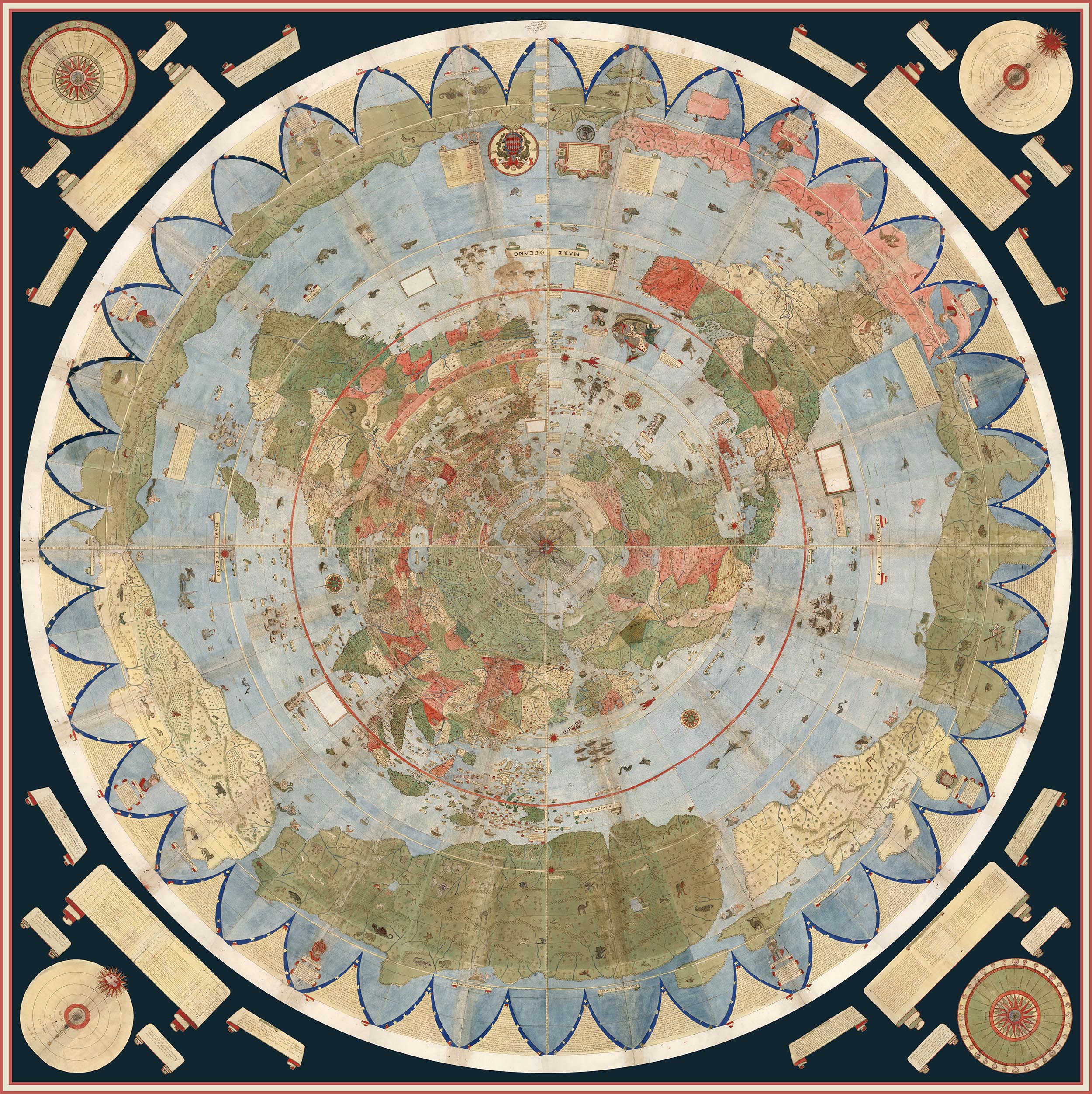
We georeferenced Urbano Monte's flat map and reprojected it as a globe.
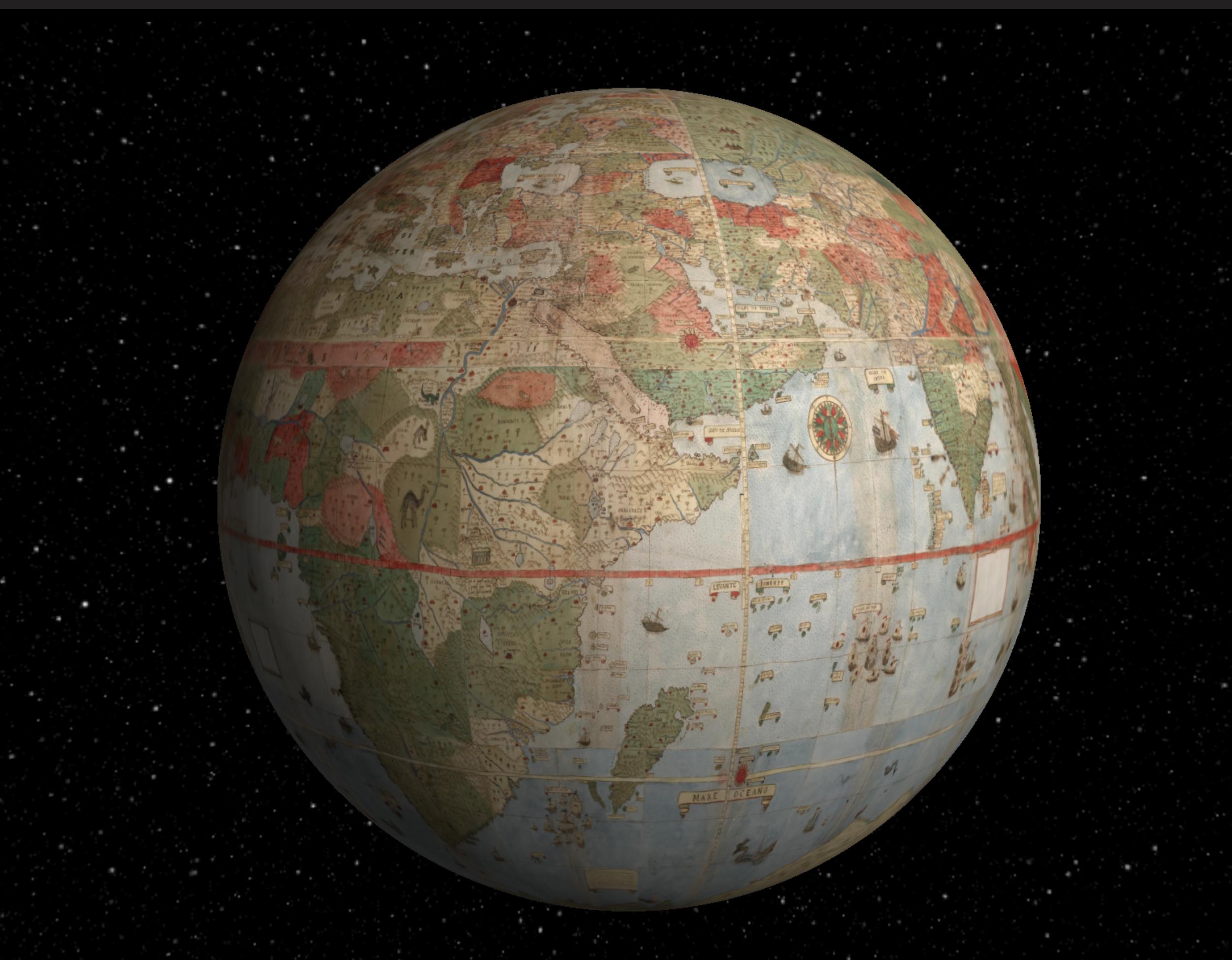
From these examples, it can be seen that repurposing, georeferencing, compositing, and other manipulations allowed by the digital nature of our facsimiles can give us much greater understanding of the original map makers intentions and goals. In addition to the uses shown above, we can use the digital map images as sources of text information. In the coming years we expect to add search capability for any text on our maps by reading and indexing all the words on the maps using powerful software programs. This will greatly expand the searchability of our maps and allow pathways into their content and provide new interpretations in yet other ways from those shown above..
- Recent Additions
- March 6, 2009
March 6, 2009 - 1,572 New Maps Added
The following are highlights from 1,572 New Maps and Images added to the David Rumsey Collection. All titles may be found by clicking on the View links below. Or click here to view all 1,572 new maps. (This link shows 1850 maps and images because some of the new 1,572 items are text pages added to atlases and the entire atlases are shown).
|
|
Atlas Nouveau, 1742 |
 |
Carte De La Mer Mediterranee, 1764 |
 |
West-India Atlas, 1788 |
 |
Charts And Plates To La Perouse's Voyage, 1799 |
 |
Vie De George Washington, 1807 Marshall, John, Paris 19 maps, views, and pages. The is the Paris edition of Marshall's Life of Washington. The maps are perhaps the highest quality of any of the various editions. Tooley says that J.N. Buache did the maps. View Atlas |
 |
The Life of George Washington, 1807 Marshall, John, Philadelphis 12 maps, views, and pages. The Philadelphia edition of Marshall's Life of Washington. The maps are engraved by Francis Shallus, Samuel Lewis, and John Vallance - all early and importance American engravers. View Atlas |
 |
General Atlas of the United States, 1816 Lucas Jr., Fielding, Philadelphia 31 maps. This is the issue with the state maps and without the complete European maps (for 31 maps total versus 54 for the larger issue). The date is estimated. All the maps are in full color, and were engraved by Henry Tanner. Title page illustrated with engraving by G. Fairman with globe, adults, and cherubs. View Atlas |
 |
A Complete Genealogical, Historical, Chronological, And Geographical Atlas, 1820 Carey, Mathew; Lavoisne, M., Philadelphia 84 maps, diagrams, and pages. This is the first American edition which is based on the 1817 London edition published by J. Barfield. View Atlas |
 |
A General Atlas of the World, 1822 Lucas Jr., Fielding, Baltimore 67 maps. This is a very unusual Lucas atlas. It has 31 of the Tanner and Harrison engraved maps of the continents and foreign countries that appeared in the (1815) and (1816) "New And Elegant General Atlas." Of the remaining 36 maps, 8 are of South America and the West Indies and are unchanged in the 1823 atlas; the other 28 maps are in many cases early states of the new U.S. maps that appear in the 1823 atlas. View Atlas |
 |
A General Collection Of Maps, Charts, Views, &c., 1824 Melish, John, Philadelphia 27 maps. Unusual collection of maps by various makers. The Melish maps are from the second edition of the Military and Topographical Atlas. Also present are Melish's map of the U.S. to accompany Maclure's Geology, several maps of foreign countries by Carey, maps of the West Indies by Lucas, and many maps by unknown makers. This may have been published by A.T. Goodrich who acquired much of Melish's material after his death, or Robert Desilver who acquired the Carey maps. View Atlas |
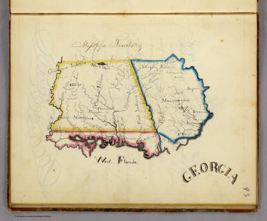 |
Frances A. Henshaw's Book of Penmanship, 1828 Henshaw, Frances A., Middlebury, Vermont 19 maps. Exquisite hand drawn maps of the states. Notwithstanding the title, this is a geography book hand drawn by a very promising student. It includes descriptions of Astronomical Geography, the Ptolemaic, Brahean and Copernican Systems, Comets, Great Circles, Equator, Meridian, Horizon, Colures, Tropics, Polar Circles, Zones, Climates, Latitude and Longitude, a section titled America, and 19 maps of the states with a descriptive page for each. This addition adds all the text pages to the online atlas. View Atlas |
 |
Historical atlas ... from the creation to A.D. 1828, 1830 Quin, Edward, London 21 maps. 1st edition. The unique maps show progressively receding cloud borders to indicate the expansion of geographical knowledge over time. This addition adds all the text pages to the atlas. View Atlas |
 |
New American Atlas, 1833 Tanner, Henry S., Philadelphia 18 maps on 22 sheets. Although the title page is dated 1825, many maps in the atlas are dated 1833. Several of the state maps are the latest known dates and yet this atlas has several maps of states that are very early dates - the likely explanation is that Tanner was finishing up his inventory of maps for this atlas as he prepared his new atlas, the Universal Atlas, for first issue in parts starting in 1834. View Atlas |
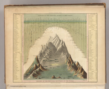 |
A New Universal Atlas, 1845 Tanner, Henry S., Philadelphia 72 maps. This is the mid 1845 edition, date on title page is 1844. The Texas map by C.S. Williams appears here for the only time in the engraved form. This atlas is one of several editions of the Tanner Universal Atlas in the period 1844 to 1846 that show the transition from engraved atlases to lithographic atlases. View Atlas |
 |
New Universal Atlas, 1848 Greenleaf, Jeremiah, no place 65 maps. Rare reissue of 1842 Greenleaf Universal Atlas. Many changes from the 1842 edition: Florida a State, Michigan entirely redrawn, Mexican War results on North American map, Mexico, Texas, Oregon changes to show 1846 boundary with Canada, Missionary stations listed on the Hemispheres, and many new railroads, counties, boundaries, etc. View Atlas |
 |
A New Universal Atlas, 1848 Bourquin, Frederick; Mitchell, Samuel Augustus; Tanner, Henry S., Philadelphia 76 maps. This is a unique copy of the Mitchell/Tanner Universal Atlas. Frederick Bourquin and his employer, Peter Duval, received a Third Premium Award from the Franklin Institute in November, 1848, for their achievement in transferring the Universal Atlas from copper plates to lithographic stones. This copy of the atlas was their submission to the Franklin Institute to be considered for the award. The atlas is made up of uncolored maps from various editions by Tanner and Mitchell, between 1846 and 1848. It is a document of the important change from engraved maps to lithographic maps. View Atlas |
 |
Physical Atlas of Natural Phenomena, 1856 Johnston, Alexander Keith, 1804-1871, Edinburgh 38 maps. 2nd ed., enlarged. 1st ed. was 1848. Most of the maps are lithographed in color, but some are still engraved. The 1848 ed. was entirely engraved. Maps have both hand and printed color. This addition adds all the text pages which include some maps printed in the text. View Atlas |
 |
Colton's Advertising Atlas Of America, 1857 Colton, G.W., New York 63 maps and many pages of advertisements. Full page advertisements interspersed throughout the atlas with an Index to Advertisements bound in the front. Colton issued this atlas almost as a business directory of New York City industry in the 1850's. View Atlas |
 |
A New Universal Atlas, 1859 Mitchell, Samuel Augustus, Philadelphia 76 maps. The scarce last edition listed in Phillips of Mitchell's New Universal Atlas. It was published by Charles DeSilver of Philadelphia. This edition marks the end of the New Universal Atlas run, which started twenty three years earlier with the Tanner first edition of 1836. View Atlas |
 |
Martenet's Map of Maryland, Atlas Edition, 1866
Martenet, Simon J., Baltimore 53 maps and text pages. This is Martenet's state map in book form, by county. A description of each county accompanies the maps. Manuscript notations updating some of the political geography. List of sources of the map, most of which were Martenet's own surveys. View Atlas |
 |
Map of the States Of California And Nevada, 1869 Holt, Warren; Gibbes, C.D., San Francisco Wall map. First issue. Lithographed in Philadelphia by S.B. Linton. The smaller 1873 Holt/Gibbes pocket map of California and Nevada was probably derived from this map. An inset profile shows "Elevation Above The Sea Of Some Of The Principal Mountains In California And Nevada." View Map |
 |
Johnson's New Illustrated Family Atlas Of The World, 1874 Johnson, A.J., New York 70 maps and text pages. The last year of continuous publication for this atlas that started in 1860. For some reason, Johnson seems to not have published atlases in 1875, 1876, and 1878 - or they were published in such small numbers that we have yet to see them. View Atlas |
 |
Rail Road Atlas and Pictorial Album of American Industry, 1875 Asher & Adams, New York 111 maps and advertising pages. This is a very unusual and wonderful atlas - it combines the most complete Asher & Adams atlas map set (the same grouping as the late 1874 issue, but updated - see our #0041) bound unfolded on edge (this is a huge book) with beautiful illustrations opposite each map of industrial establishments, products, and machinery. It has become very scarce. Its sheer size probably meant that the edition was small in number. View Atlas |
 |
A Group of 4 Geologic Atlases, 1887-1904 United States Geological Survey Washington (D.C.) Atlases of the Pacific Slope, Yellowstone Park, Aspen Colorado, and the Marquette Iron District of Michigan. Various authors. All with color lithography by Julius Bien & Co. of New York. View Atlases. |
 |
Nouvel Atlas Illustre Geographie Universelle, 1892 Desbuissons, L.E.; Migeon, J., Paris 67 maps. A late date for an atlas to have hand colored maps, as this does. With a large folding railroad map of Europe in the back. The vignette views are on every map and are very attractive. View Atlas |
 |
Atlas Of The Mexican Conflict, 1914 Rand McNally and Company; Schlitz Brewing Company, Chicago 8 maps. Presents the U.S. side of the conflict. The maps are standard Rand McNally maps of the period, except for the Mexico map which has been overprinted in red to show the war situation, dramatically showing the fleets and forts. View Atlas |
 |
Linea Divisoria Entre Mexico Y Los Estados Unidos, 1901 International Boundary Commission, New York 19 maps. Accompanies Memoria de la seccion Mexicana. Publication date approximate. U.S. and Mexican Commissioners listed with signatures. Maps in black and white and showing 20-foot contours, railroads, survey markers, landmarks, vegetation, watercourses, roads, hachures for edges of mesas, and boundary line. View Atlas |
 |
Atlas Universel de Geographie, 1937 Schrader; Vivien St Martin, L., Paris 80 maps. A fine color lithography atlas from Librairie Hachette. This copy is bound with three screw down bolts, to hold the parts as issued and to substitute new maps as they became available. The earliest map in this set is 1920. Most of the maps are dated from 1930 to 1937. View Atlas |
 |
5 Maps of Yolo County, California, 1900 - 1939 Various authors, various places (Original Not in Rumsey Collection - Original with the Yolo County Records and Archives Center). These maps show the evolution of Yolo County over a 39 year period. View Maps |

- Recent Additions
- August 19, 2013
August 19, 2013 - 5,359 New Maps Added
5,359 new maps and images have been added to the David Rumsey Map Collection, bringing the online collection to 42,725 maps and related images. Highlights in this addition are Rizzi Zannoni's 1808 Atlante geografico del regno di Napoli; a very early geography game from France, Le Jeu du Monde of 1645; several World Atlases by Stieler; 60 Maritime Charts from the United States Exploring Expedition, 1850; over 900 topographical and geological maps from the 19th and 20th century published by the Ordnance Survey of Great Briton; 10 maritime charts from various parts of the world, 1807 - 1882; 7 County and City Atlases, 1872 - 1913; 6 manuscript maps of the Atlantic and Pacific Railroad in the U.S. Southwest, 1882; Russell's report and map of ancient Lake Lahontan in Nevada; the Codazzi and Paz Atlas of Colombia, 1889; a rare German Physical Atlas of the Atlantic Ocean, 1922; the 1906 and 1915 editions of the Atlas of Canada; Baist's 1921 real estate Atlas of Los Angeles; Paullin and Wright's 1932 Atlas of the Historical Geography of the United States; transportation traffic maps of California from 1934; a rare Thomas Brothers Atlas of California, 1938; Key transit system aerial photos of Alameda and Contra Costa Counties, California, 1948; and the 1988 U.S.G.S Atlas of Oblique Maps. All titles may be found by clicking on the View links or images below. Or click here to view all 5,359 new maps and images.
 |
Atlante geografico del regno di Napoli, 1808 |
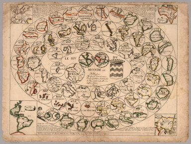 |
Le Jeu du Monde, 1645 |
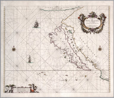 |
Paskaerte van Nova Granada, en t'Eylandt California, 1666 |
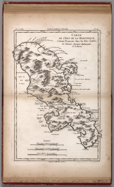 |
Histoire Philosophique et Politique Des Establissements et Du Commerce Des Europeens Dans Les Deux Indes (with) Atlas De Toutes Les Parties Connues Du Globe Terrestre, Dresse Pour L'Histroire Philosophique et Politique des Etablissemens et du Commerce des Europeens dans les Deux Indes, 1780 |
|
|
Statistique Generale et Particuliere De La France et De Ses Colonies, avec une Nouvelle Description ..., 1804 |
|
|
An Atlas Of Ten Select Maps Of Ancient Geography Both Sacred And Profane; With A Chronological Table Of Universal History & Biography, 1815 |
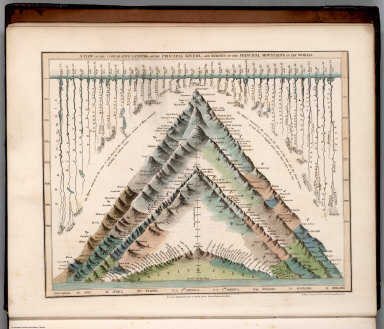 |
A General Descriptive Atlas Of The Earth, Containing Separate Maps Of The Various Countries And States, 1832 |
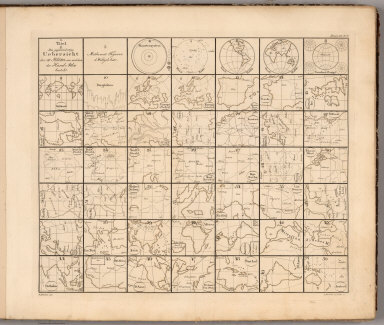 |
Hand-Atlas uber alle Theile der Erde, nach dem neuesten Zustande und uber das Weltgebaude, 1833 |
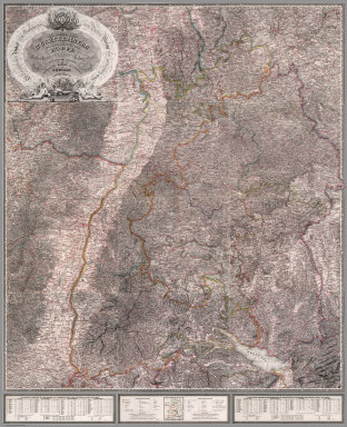 |
Map sheets of Wuerttemberg, Southwest Germany, and Northern Italy, 1838 - 1840 |
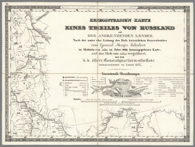 |
Kriegsstrassen Karte eines Theiles von Russland, 1837, 1854, 1870 |
|
|
Nach Angabe und auf Kosten des Verfassers der Darstellung des Erzharzofthums Osterreich unter der Ens. (The depiction of the Archduchy Austria below the Enns), 1837 |
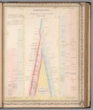 |
The People's Atlas, Shewing The Relative Extent And Divisions, The Boundaries, And Other Geographical Details Of The Various Empires, States, And Quarters Of The World, Agreeably To The Best Authorities, And In Accordance With A Comparative View Of The Heights Of Hills And Lengths Of Rivers, 1848 |
 |
Map of New Castle County, Delaware, from Original Surveys, Saml. M. Rea & Jacob Price. Published by Smith & Wisar, No. 15, Minor St., Philadelphia. 1849. (inset) Plan of the City of Wilmington. Compiled from Surveys by G.R. Riddle, C.E. 1847. Reduction by Rea & Price. Entered ... 1848 ... by Robert P. Smith, 1849 |
 |
A New Universal Atlas containing maps of the various empires, kingdoms, states and republics of the World. With a special map of each of the United States, plans of cities &c., 1850, 1857, 1864 |
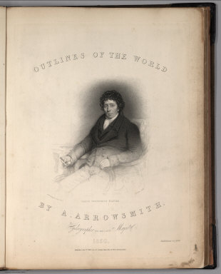 |
Outlines Of The World. By A. Arrowsmith, Hydrographer to His Majesty. 1850. Published Jany st. 1847, by G.F. Cruchley, Mapseller, 81 Fleet Street, London. Addition to 1850 |
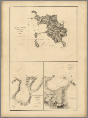 |
60 Hydrography Charts from the The United States Exploring Expedition, 1850 |
 |
Atlas zu Alex. V. Humboldt's Kosmos in zweiundvierzig Tafeln mit erlauterndem Texte, 1851 |
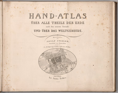 |
Hand - Atlas Uber Alle Theile Der Erde nach dem neuesten Zustande Und Uber Das Weltgebaude. Herausgegebenn von Adolf Stieler, berbeitet von Demselben, so wie von F.v. Stulpnagel, H. Berghaus u. J.C. Bar., 1851, 1853, 1881 |
|
|
York. Surveyed in 1850, by Captain Tucker; R.E. Engraved in 1851, under the direction of Captain Yolland, R.E. at the Ordnance Map Office, Southampton, and Published by Lt. Colonel Hall R.E. Superintendent, 1st. Sept., 1852 |
|
|
Atlas of Australia with all the Gold Regions: a series of maps from the latest and best authorities. Edinburgh, Adam and Charles Black, North Bridge, booksellers and publishers to the Queen, 1853 |
|
|
Vergleichendes Tableau der bedeutendsten Hoehen der Erde, von Prof. C. Desjardins. 4te Auflage. Munchen 1855. Zu haben in Wien bei Joseph Bermann am Graben (fur ganz Osterreich.), in Munchen bei May und Widmayer (fur Deutschland), 1855 (with) Vergleichendes Tableau der Lange der Strome und der Grosse der Seen der Erde in geograph. Meilen zu 15 am Grad. Kartchen zur Berichtigung des wahren Laufes der Strome des Tableau mit den correspondirenden Rangs-Zahlen. Bearbeitet von Prof. Const. Desjardins. Verlag von J. Bermann. Ged., bei. L. Forster, 1855 |
|
|
The Physical Geography of the Sea. By M.F. Maury, LL, D., U.S.N., Superintendent of the National Observatory. An Entirely New Edition, With Addenda., 1857 |
|
|
Climatology of the United States, And of the Temperate Latitudes of the North American Continent, 1857 |
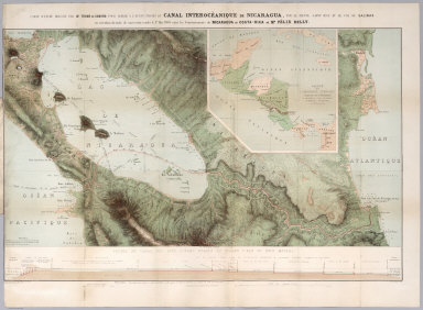 |
Carte D'Etude Pour Le Trace Et Le Profil De Canal De Nicaragua, 1858 |
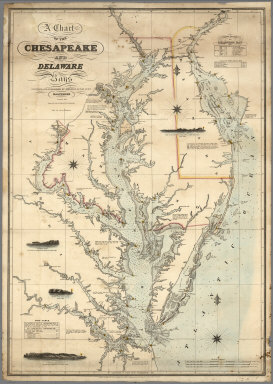 |
A Group of 10 Maritime Charts from all parts of the World, 1807 - 1882 |
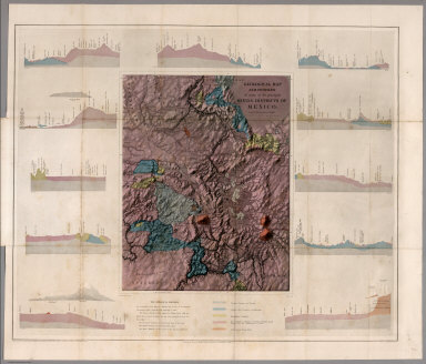 |
Contributions to the Geology and the Physical Geography of Mexico, including a Geological and Topographical Map, with profiles, Of some of the principal Mining Districts; together with a graphic description of an ascent of The Volcano Popocatepetl, 1864 |
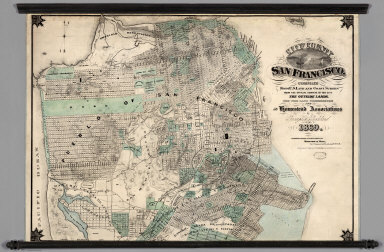 |
City and County of San Francisco. Compiled from U.S. Land and Coast Surveys from the Official Surveys of the City, The Outside Lands. The Tide Land Commission and the Homestead Associations, 1869 |
|
|
Ordnance Survey of Great Britain. Old Series or First Edition, One-Inch Map of England and Wales, 1870 |
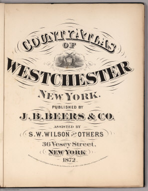 |
7 County and City Atlases, 1872 - 1913 |
|
|
Maps of the First through Sixth Operating Divisions of the Western Division, Atlantic & Pacific Railroad, Albuquerque, New Mexico, to Mojave (Mohave), California, 1882 |
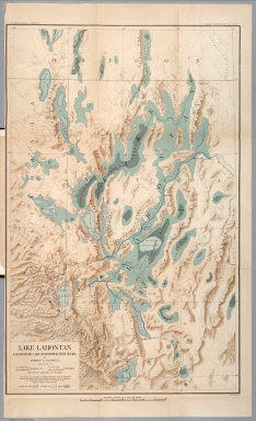 |
Department of Interior : Monographs of the United States Geological Survey, vol. XI. House of Representative : 49th Congress, 1st Session. Mis. Doc. No. 304. Washington : Government printing Office 1885. Geological history of Lake Lahontan : a quaternary lake of Northwestern Nevada ; by Israel Cook Russell. (at head to title) United States Geological Survey; J.W. Powell, Director. . |
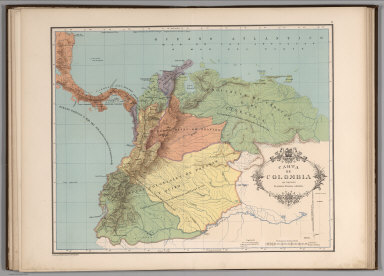 |
Atlas geografico e historico de la Republica de Colombia (Antigua Nueva Granada), 1889 |
 |
Ordnance Survey of Scotland: 131 Sheets, Scale 1 inch to a mile, 1898 |
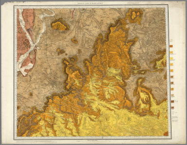 |
Ordnance Survey of Great Britain. Geological Survey of Great Britain. Old Series, One-Inch Map with National Grid, England and Wales, 1899 |
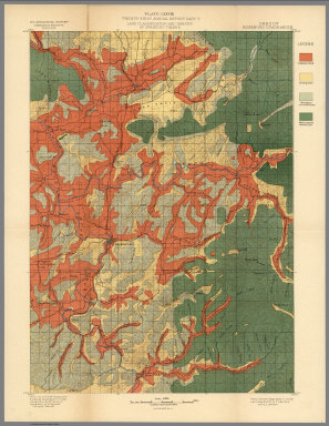 |
Twenty-first Annual Report of the United States Geological Survey to the Secretary of the Interior. 1899-1900. Charles D. Walcott, Director. In Seven Parts. Henry Gannett, Chief of Division. Washington. Government Printing Office. Part V - Forest Reserves, 1900 |
 |
Deutsche Seewarte. Atlantischer Ozean. Ein atlas von 39 karten, die physikalischen verhaltnisse und die verkehrs-strassen darstellend, mit einer erlauternden einleitung und als beilage zum segelhandbuch fur den Atlantischen Ozean. Zweite Auflage, 1902 |
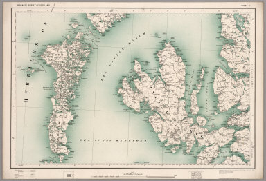 |
Ordnance Survey Revised Map of England, Wales, and Scotland on the Scale of Four Miles to the Inch, 1902 |
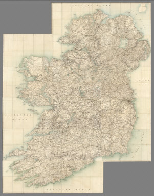 |
Ordnance Survey Ireland Quarter-inch Series, 1904 |
 |
Department of the Interior, Canada. Honorable Frank Oliver, Minister, 1906. Atlas of Canada (with) Department of the Interior Canada. Honourable W.J.Roche, Minister 1915. Atlas Of Canada. Revised and enlarged edition. |
 |
Baist's Real Estate Atlas of Surveys of Los Angeles, Cal. Complete in One Volume, 1921 |
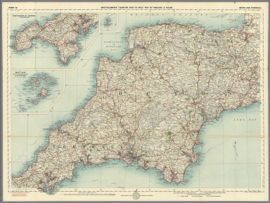 |
Bartholomew's 4 Miles to the Inch Road Map of England & Wales in Twelve Sheets, 1921 |
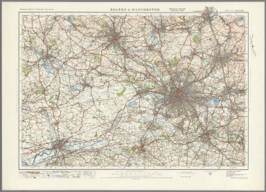 |
Ordnance Survey of England and Wales. Popular Edition One-Inch Map, 1923 |
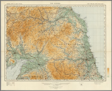 |
Ordnance Survey of Great Britain. Quarter-inch to One Mile. Third Edition, 1924 |
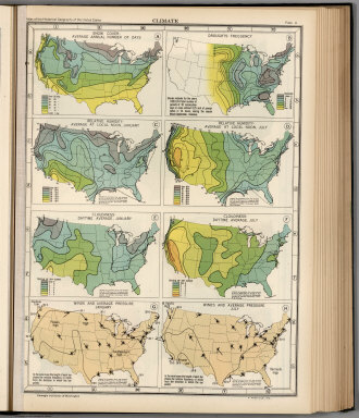 |
Atlas of the Historical Geography of the United States. By Charles O. Paullin, Carnegie Institution of Washington. Edited by John K. Wright, Librarian, American Geographical Society of New York, 1932 |
 |
California Highway Transportation Survey, 1934 |
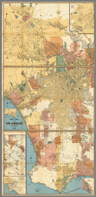 |
Thomas Bros. Recreational and Statistical Atlas, California, 1938 |
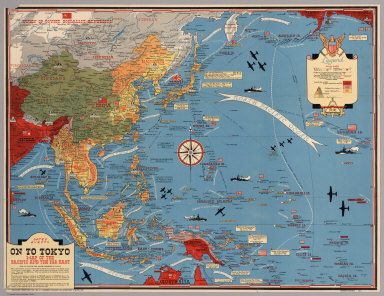 |
Dated Events. On To Tokyo. Map of the Pacific and the Far East (with) Dated events, World War map, by Stanley Turner A.R.C.A., 1944 and 1942 |
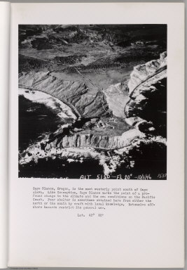 |
Preliminary Report on Harbors, Havens, and Anchorages of the Pacific Coast from San Francisco to the Straits of Juan de Fuca, 1946 |
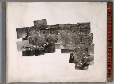 |
Key System Transit Lines: Aerial System Maps (Alameda and Contra Costa Counties, California), 1947 |
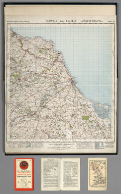 |
Ordnance Survey of Great Britain. New Popular One-Inch Map with National Grid, England and Wales, 1947 |
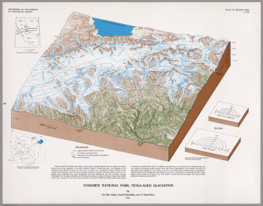 |
Atlas of Oblique Maps, A Collection of Landform Portrayals of Selected Areas of the World, 1988 |
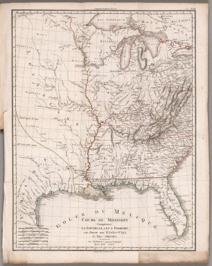
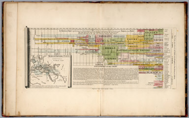
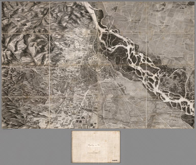

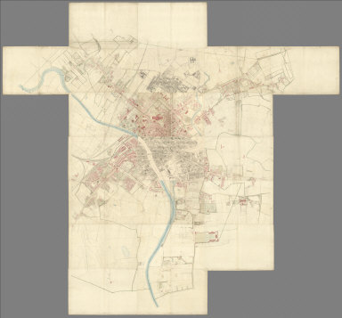

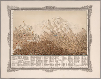
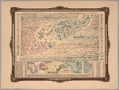
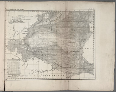


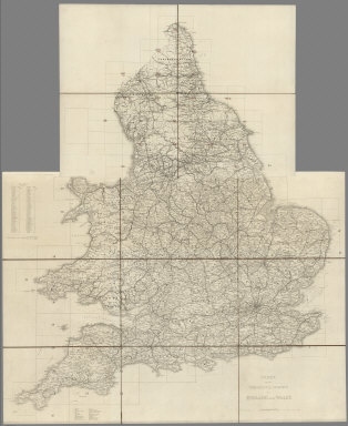
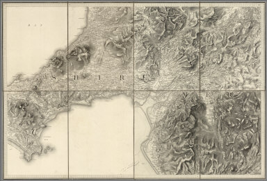



- Recent Additions
- June 25, 2020
Online Rumsey Maps Reach 100,000. Part One - 2016 Additions
Since the last Recent Additions blog five years ago, more than 41,000 new maps and images have been added online, bringing the total online collection to over 100,000. Because of the large number of maps in this Recent Addition, we are splitting the 41,000 updates into four blog posts of about 10,000 maps each, divided roughly into the years following the last post - 2016, 2017, 2018, and 2019. This post covers highlights of additions made in 2016. All titles may be found by clicking on the View links or images below.
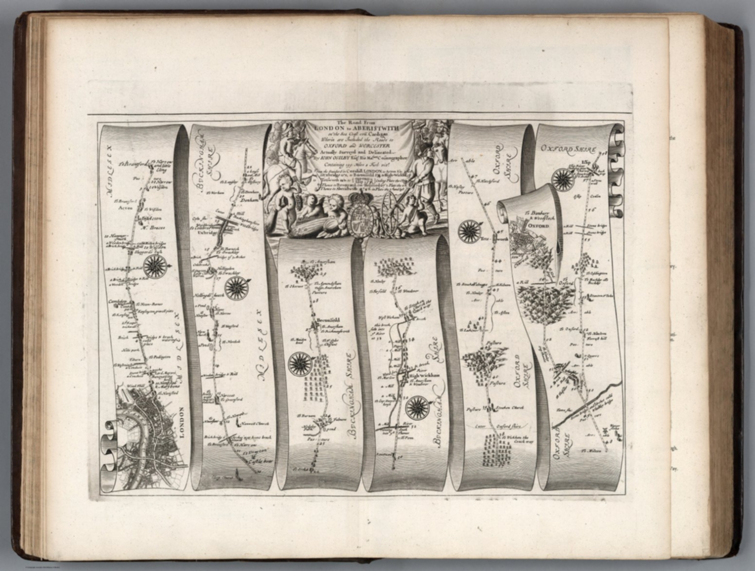 |
Britannia, Volume the First. Or an Illustration of the Kingdom of England and Dominion of Wales: By a Geographical and Historical Description of the Principal Roads thereof. Actually Admeasured and Delineated in a Century of Whole-Sheet Copper-Sculps. Accomodated With the Ichnography of the several Cities and Capital Towns; and Compleated By an Accurate Account of the more Remarkable Passages of Antiquity, Together with a Novel Discourse of the Present State. By John Ogilby Esq.; His Majesty's Cosmographer, and Master of His Majesty's Revels in the Kingdom of Ireland. London, Printed by the Author at his House in White-Fryers. M.DC.LXXV (1675). |
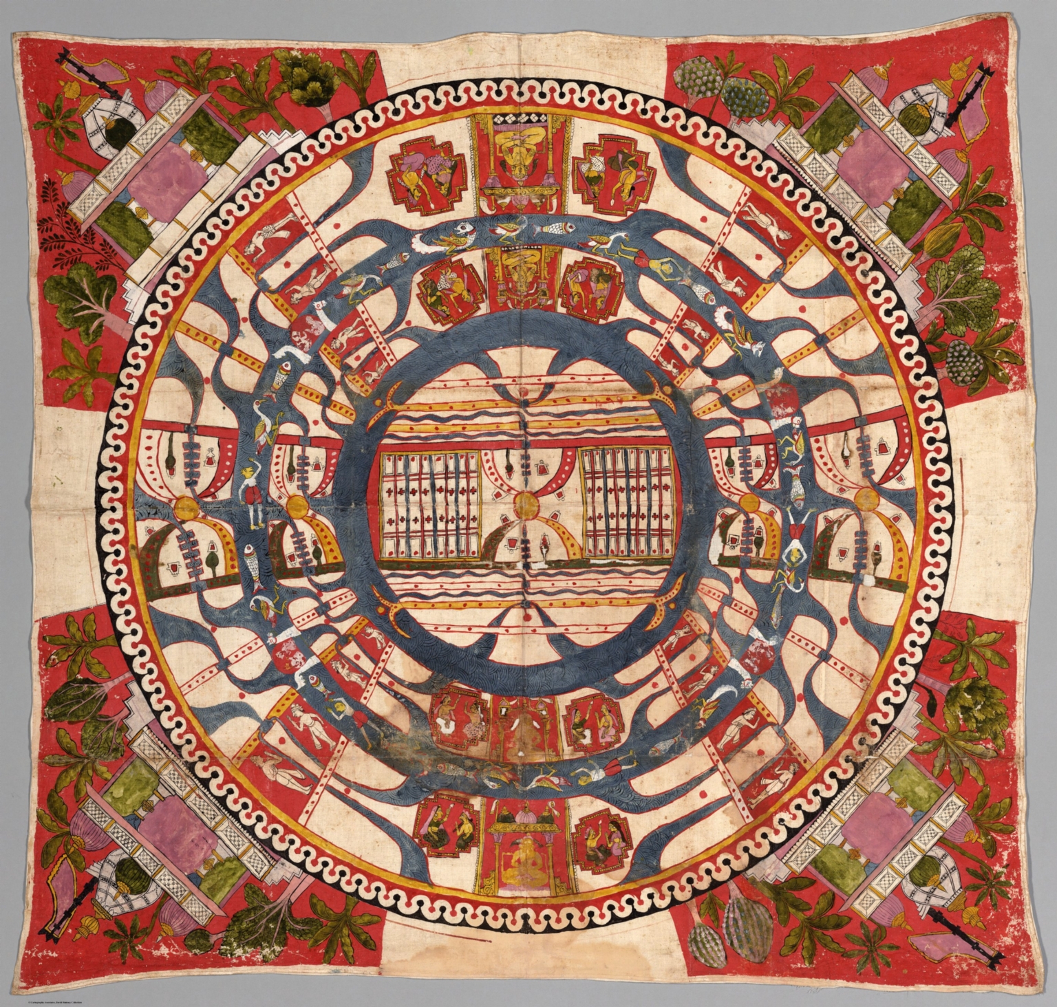 |
(Cosmological Diagram - The World of Mortals.) 1850. |
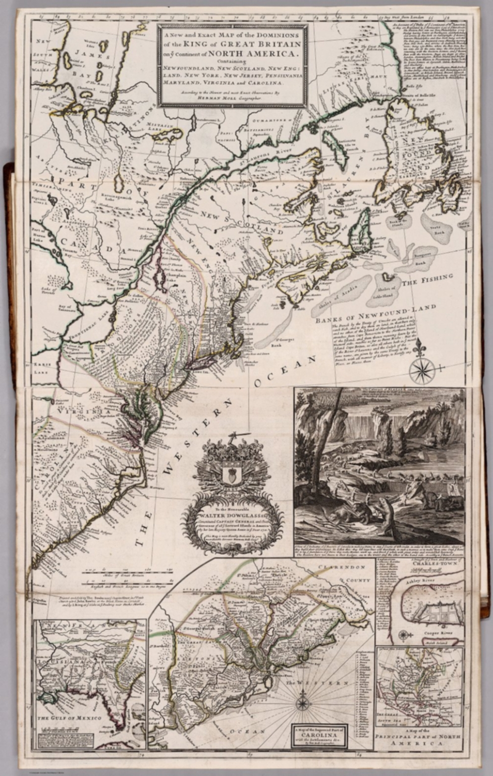 |
The World Described; or, A New and Correct Sett of Maps. 1732. |
 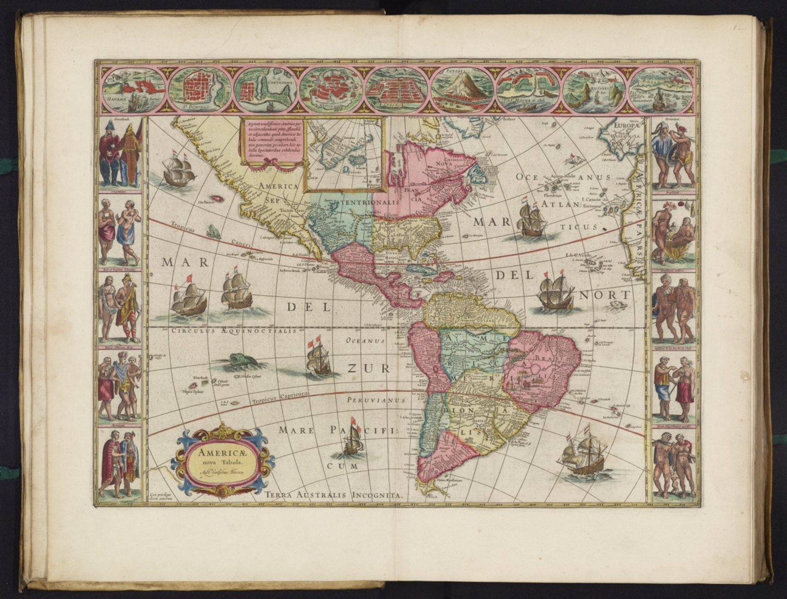 |
Atlas Maior Sive Cosmographia Blaviana, Qua Solvm, Salvm, Coelvm, Accvratissime Describvntvr. 1665. |
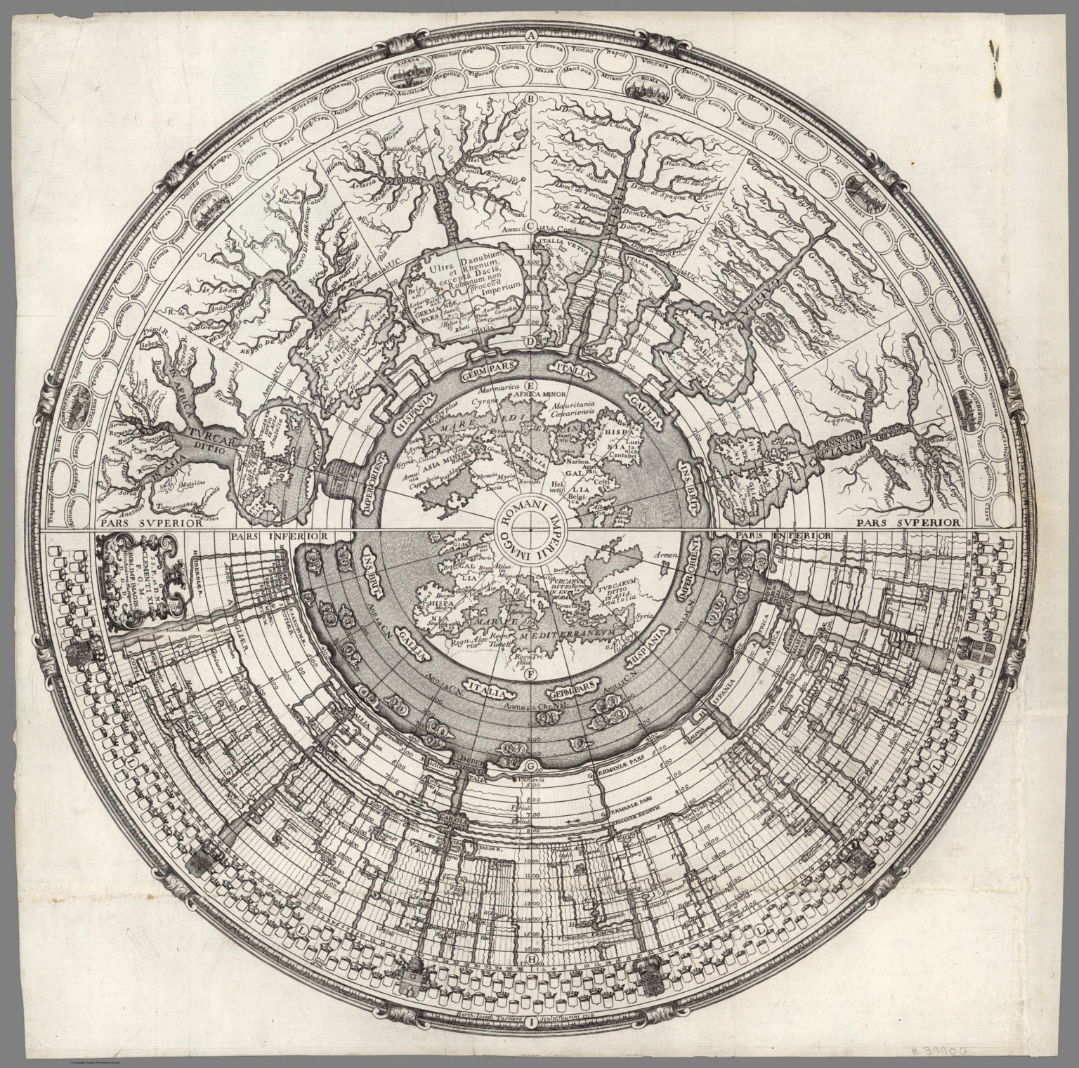 |
Imago Romanii Imperii. S.S.P., et D. N. Clementi XI P.O.M. Rom. Imp. Imagin. Hier. Andreas Martignonus D.D.D. ; Barth. Ioseph Tasniere sculp. Taurini. 1721. |
 |
Our great motherland is thriving. Wei da zu guo xin xin xiang rong. Published by the Shanghai People's Fine Art Publishing House, Shanghai, China. Distributed by Guozi Shudian, Peking, China. Printed in the People's Republic of China 86-615. 1986. |
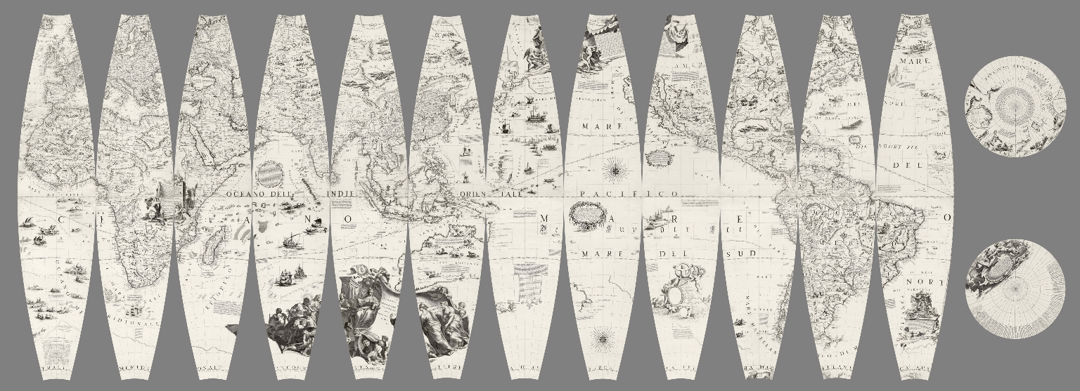 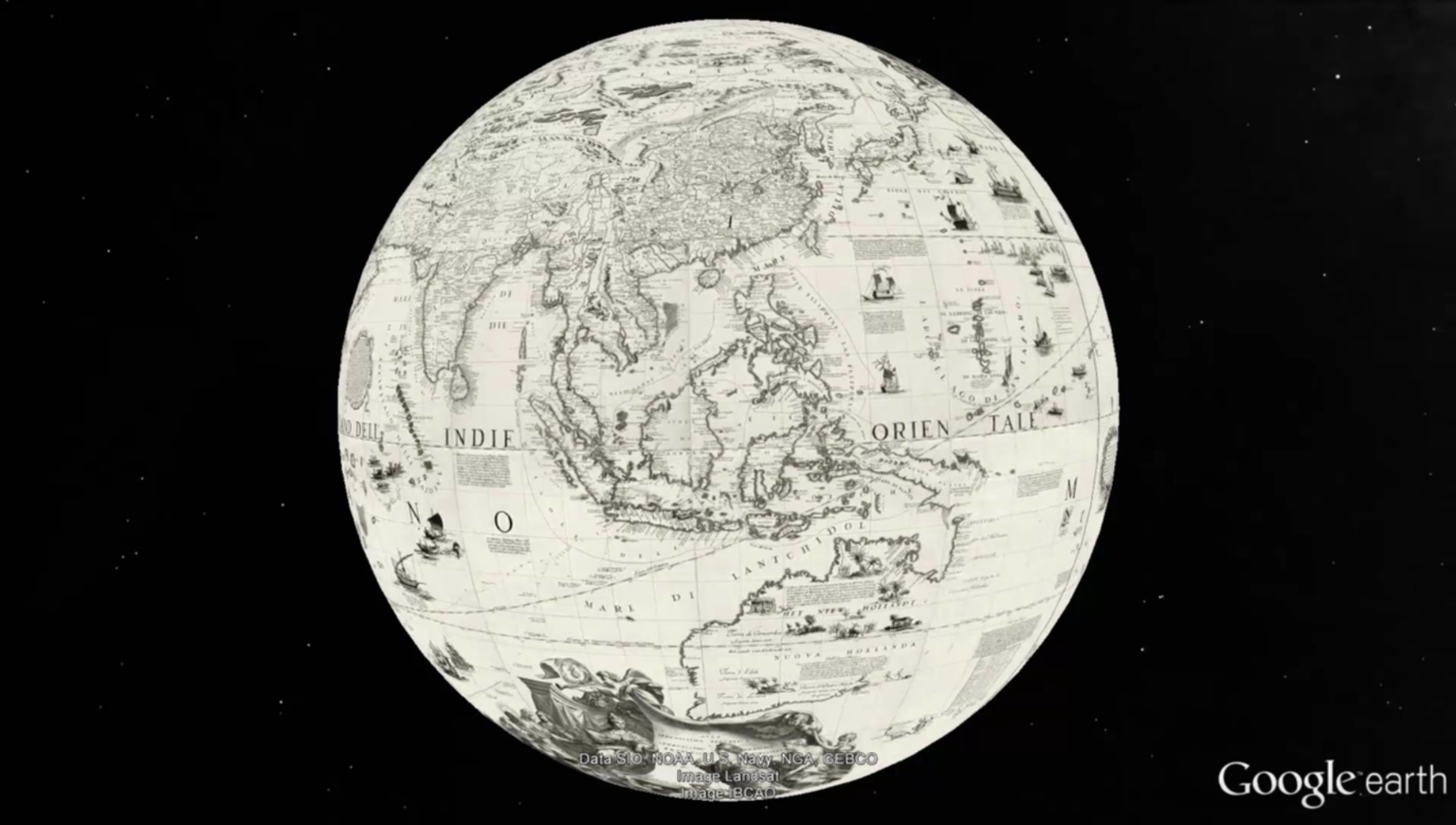 |
(Terrestrial Globe 42 Inches in Diameter) Globo della Terra di tre piedi, e mezzo di diametro. 1688. |
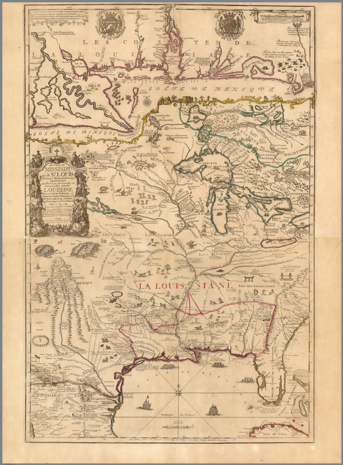 |
(Composite map of) Le cours de Missisipi, ou de St. Louis (with) Partie meridionale de la Riviere de Missisipi. 1718. (In) Atlas ou Recueil de Cartes Geographiques Dressees Sur les Nouvelles Observations de Mrs. de L'Academie Royale des Sciences Par N. de Fer, Geographe de sa Majeste Catolique et de Monseigneur le Dauphin. A Paris chez l'Auteur dans l'Isle du Palais sur le Quay de l'Orloge a la Sphere Royal, avec privilege du Roy 1748. |
 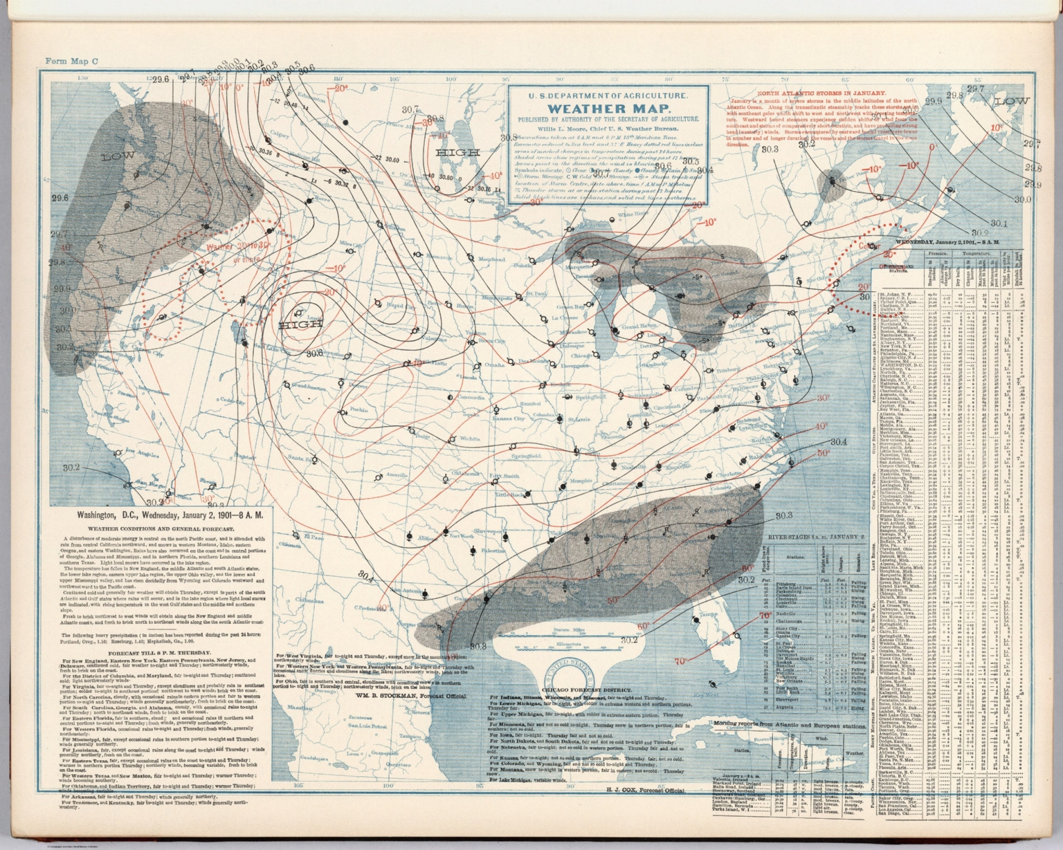 |
(United States) Daily Weather Maps with Washington, Chicago, Portland, Oregon, and San Francisco Forecasts. January 1, 1901 to June 30, 1901. U.S. Department of Agriculture, Weather Bureau. 1901. |
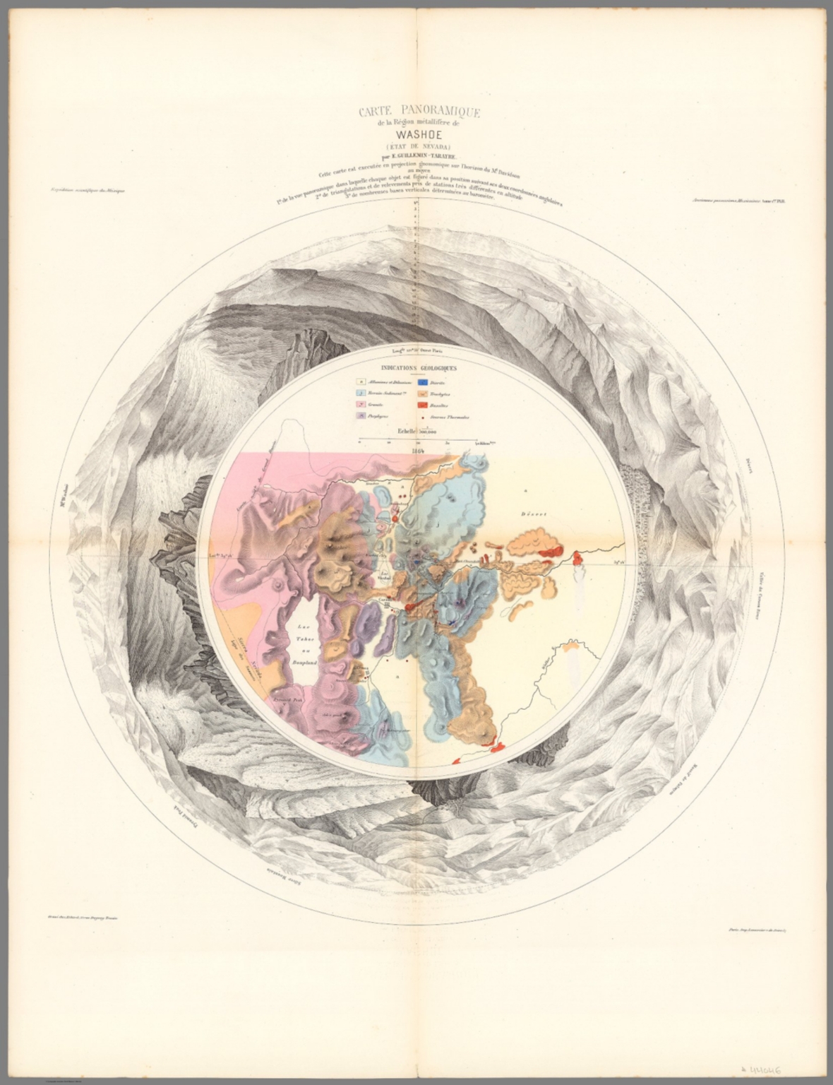 |
Carte Panoramique de la Region metallifere de Washoe (Etat de Nevada) par E. Guillemin-Tarayre. Cette carte est executee en projection gnomonique sur l'horizon du Mt. Davidson. Grave chex Erhard, Paris - Impr. Lemercier r. de Seine 57. 1864. |
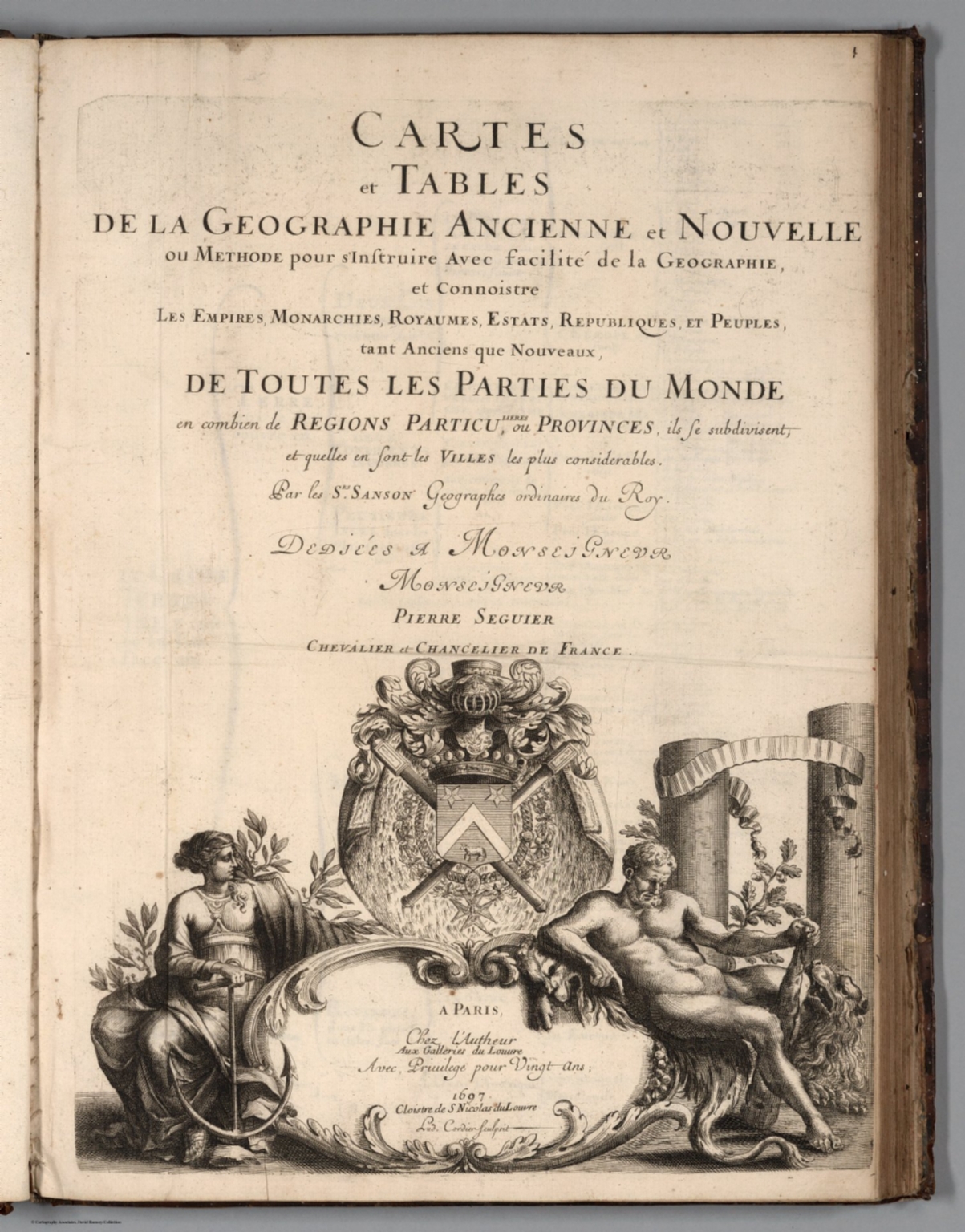 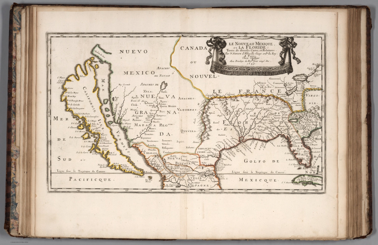 |
Cartes et Tables de la Geographie Ancienne et Nouvelle ou Methode pour s'Instruire Avec facilite de la Geographie, et Connoistre des Empires, Monarchies, Royaumes, Estats, Republiques, et Peuples ... Par les Srs. Sanson, Geographes du Roy ... A Paris. Chez l'Autheur ... 1697. (Maps and Tables of Geography Ancient and Modern or Methods for Easy Instruction of the Geography and Understanding of Empires, Monarchies, Kingdoms, States, Republics, and Peoples ... By Srs. Sanson, Geographers to the King ... In Paris ... House of the Author ... 1697. |
 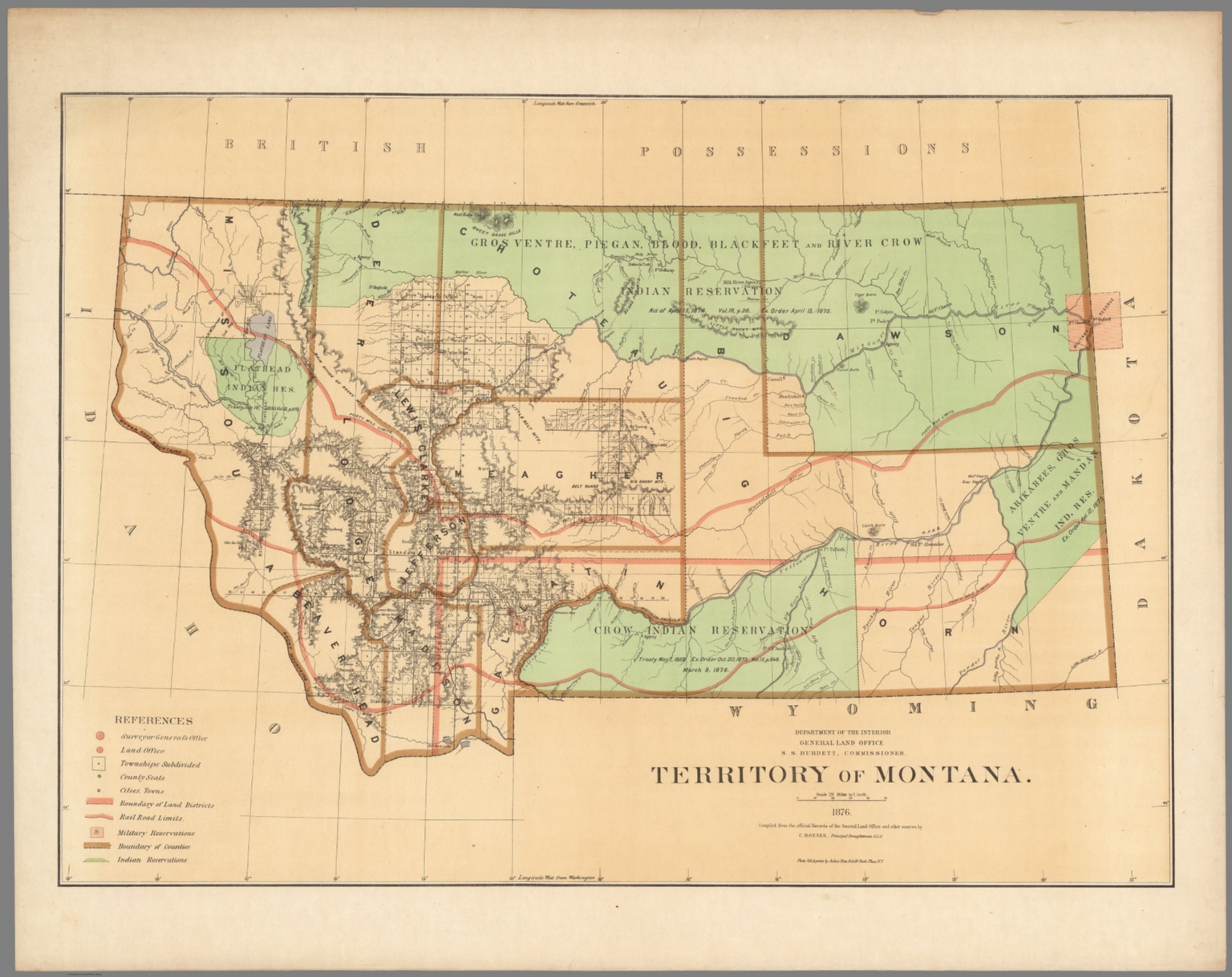 |
Department of the Interior, General Land Office. Geographical and political atlas of the states and territories of the United States of America in which the Public Land Surveys are now in operation. S.S. Burdett, Commissioner. Washington City. 1876. Julius Bien, Photolith. & Print. 1876. |
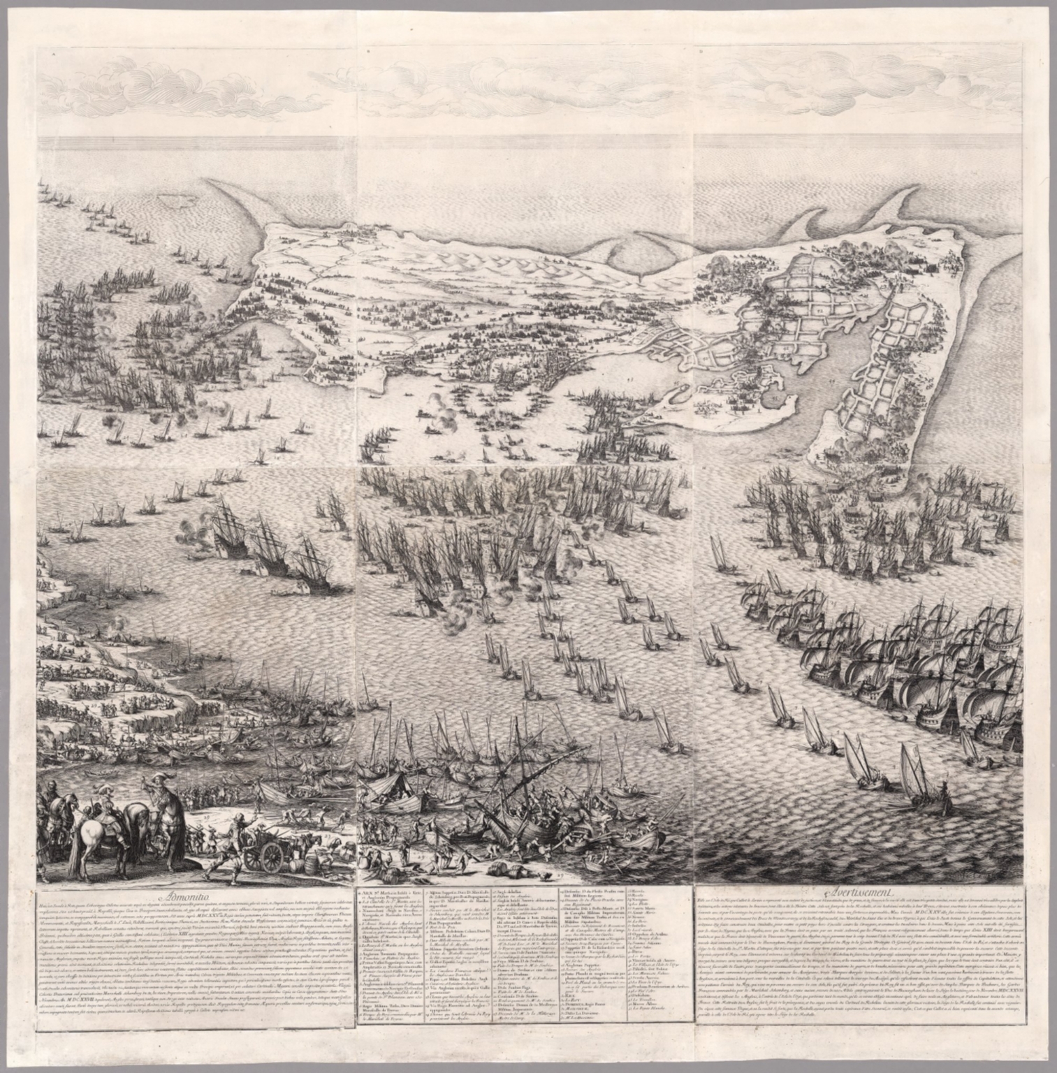 |
(The Siege of the Citadel of Saint Martin on the Isle de Re) (1675). 1631. |
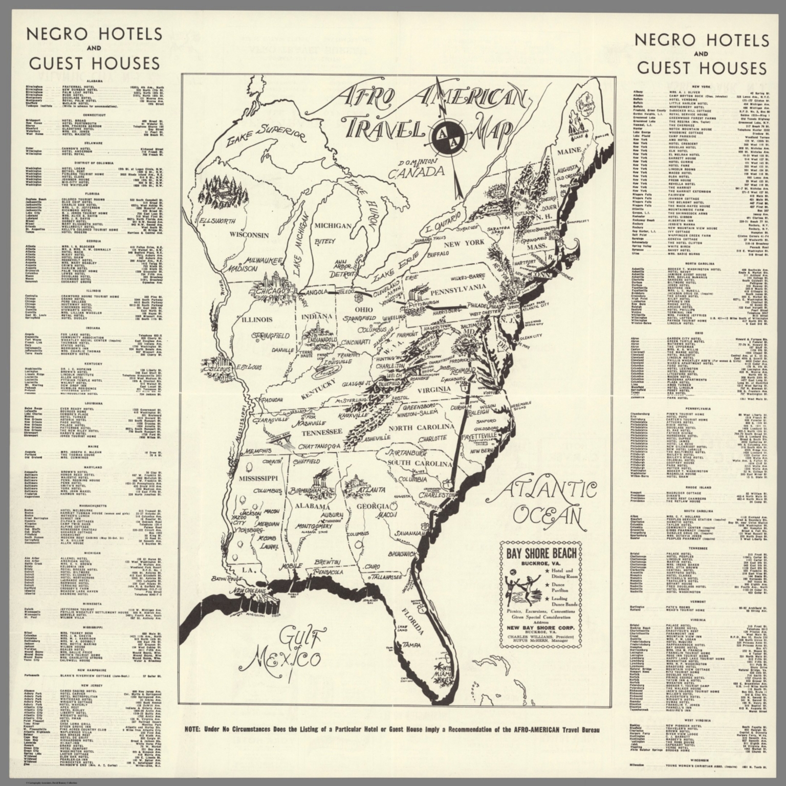 |
Travel Guide of Negro Hotels and Guest Houses. Published by Afro-American Newspapers. 1942. |
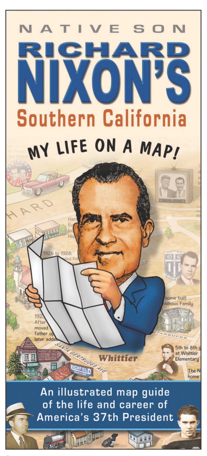 |
Over 2,000 Pictorial Maps added to the collection. Various dates. |
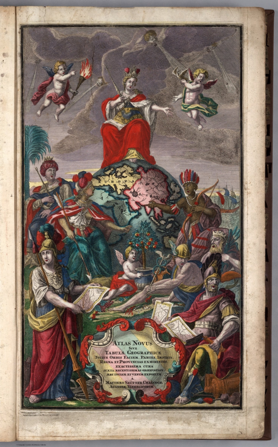 |
(Two Atlases by Matthaeus Seutter): Atlas Novus sive Tabulae Geographicae Totius Orbis Faciem, Partes, Imperia, Regna et Provincias Exhibentes Exactissima Cura Juxta Recentissimas Observation Aeri Incisae et Venum Expositae a Matthaeo Seutter Chalcogr. Augustae Vindelicorum. 1730. (and) (Composite Seutter Atlas.) 1740 |
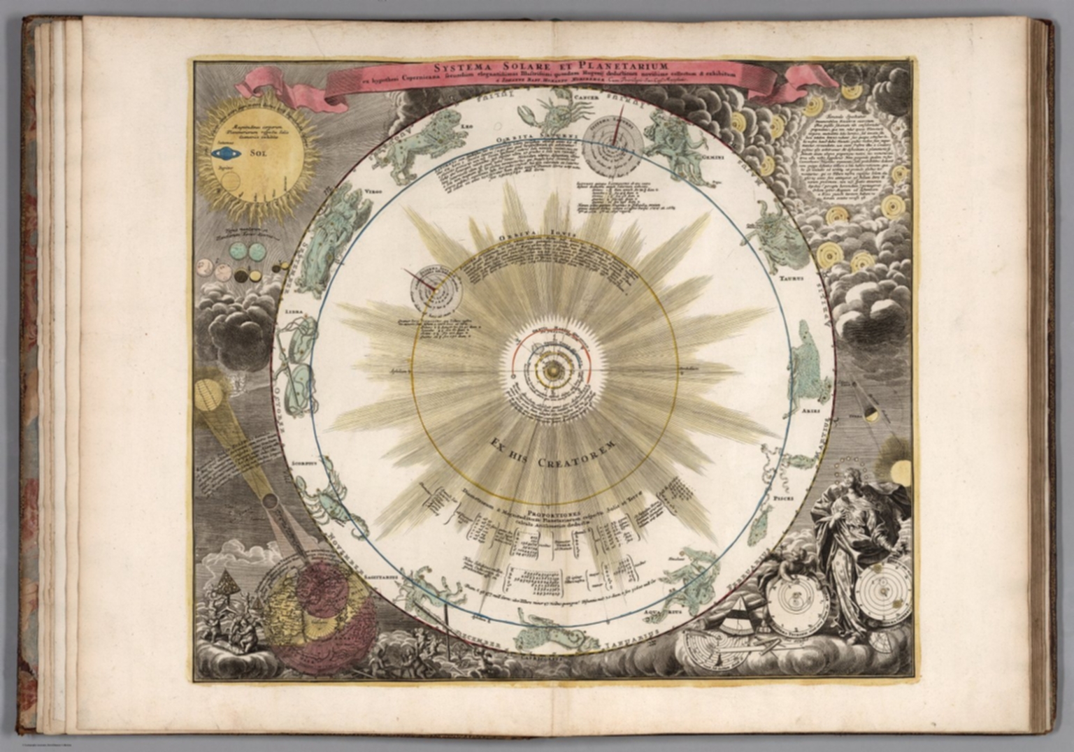 |
Atlas Novus Coelestis in quo Mundus Spectabilis, et Eodem tam Errantium quam Inerrantium Stellarum Phoenomena Natabilia ... Secundum Nic. Copernici, et Tychonis de Brahe Hypothesin ... a Joh. Gabriele Doppelmaiero ... Norimberg A.E, Sumptibus Heredum Homannianorum A. 1742. |
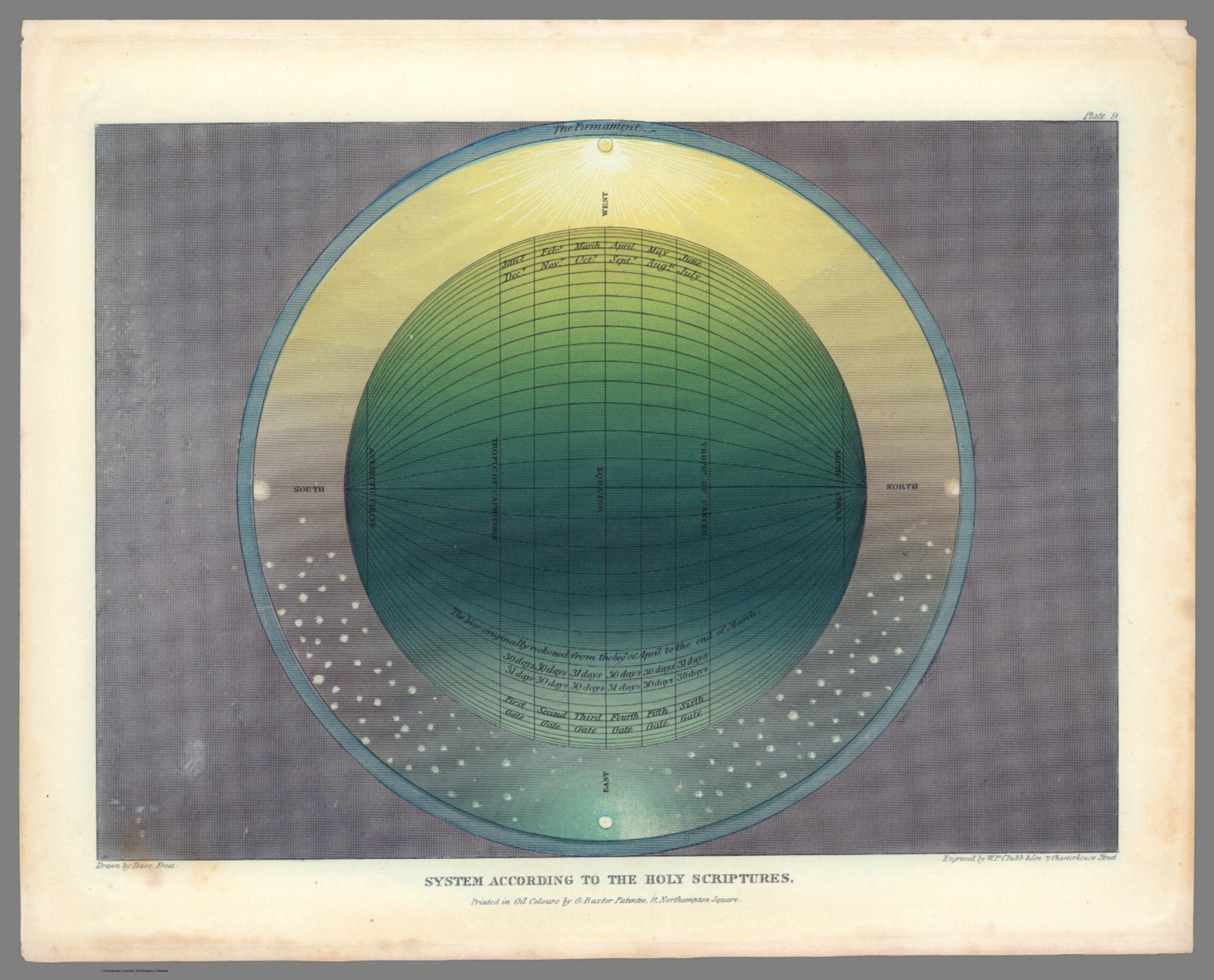 |
(Muggletonian Celestial Planetary Motion Prints). Drawn by Isaac Frost. Printed in oil color by G. Baxter, 11, Northampton Square, R., London. Engraved by W. P. Chubb & Son. 1846. |
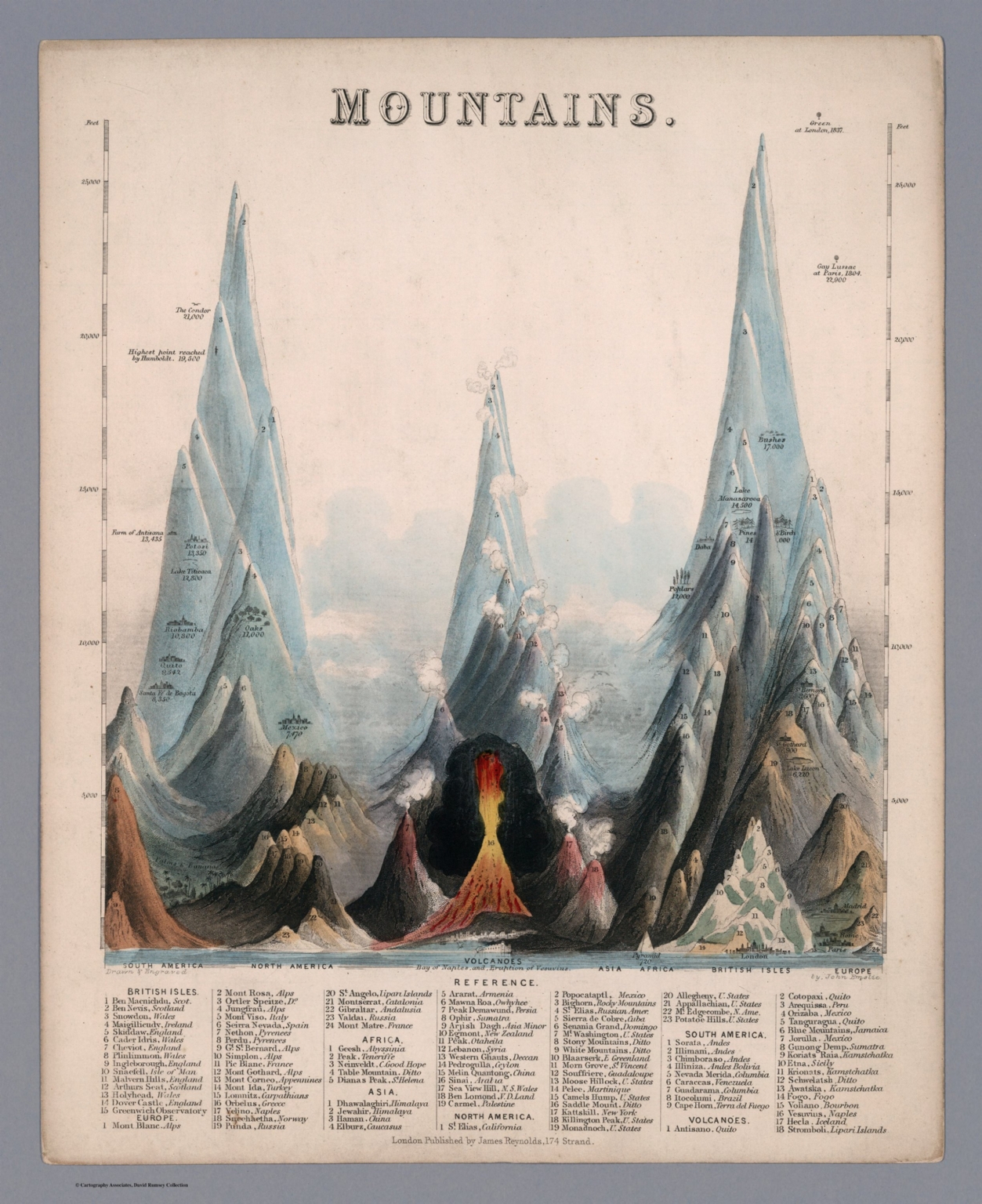 |
(A Group of Maps, Illustrations, Diagrams, and Celestial Charts.) |
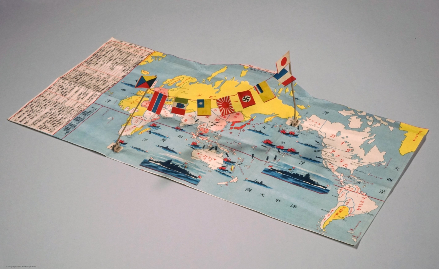 |
Japanese World War II Military Mail Envelope and Map. 1943. |
|
Mappemonde dress es en 1450, par Fra Mauro cosmographe Venetien. Par order d'Alphonse V. Roide Portugal. Publiee pour la premiere fois de la grandeur de l'original avec toutes les Legendes par Le Vicomte de Santarem, 1854. J. J. Feuquieres, lith. Schwaerzle Sculp.. 1450 (1854). |
 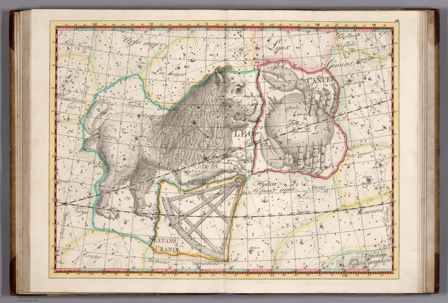 |
Joannis Elerti Bode. Uranographia sive Astrorum Descriptio viginti tabulis aeneis incisa ex recentissimis et absolutissimis Astronomorum observationibus. Sumtus commodante Illustrissimo Astronomiae Patrono Generosissimo Equite Megalopolitano Frederico de Hahn Dynaste Remplini ... Berolini, MDCCCI. Apud Autorem. 1801. |
  |
L'Hydrographie Francoise Recueil des Cartes Generales et Particulieres qui ont ete Faites pour le Service des Vaisseaux du Roy. Par ordre des Ministres de la Marine depuis 1737. jusqu'en 1765. Par le S. Bellin Ingenieur de la Marine et du Depost des Cartes, Plans et Journaux de la Marine, Censeur Royal, de l'Academie de Marine et de la Societe Royale de Londres. Premiere Partie Contenant Les Cartes Marines pour l'Europe et l'Asie. Seconde Partie Contenant Les Cartes Marines pour l’Afrique et l’Amérique. A Paris chez M. Bellin, rue du Doyennen pres St. Louis du Louvre. 1765. |
 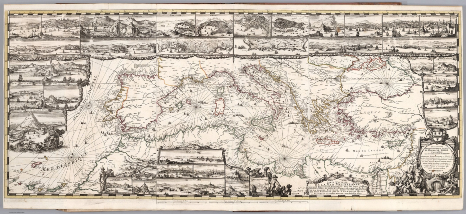 |
Le Neptune Francois, ou Atlas Nouveau des Cartes Marines. Levees et Gravees par Ordre Expres du Roy. Pour l'Usage de ses Armees de Mer. Dans lequel on voit la description exacte de toutes les Cotes de la Mer Oceane, & de la Mer Baltique, depuis la Norwege jusque au Detroit de Gibraltar ... A Paris, Chez Hubert Jaillot aux deux Globes. M.DC.LXXXXIII. (Volume 2) Atlas Marines a l'Usage des Armees du Roy de la Grande Bretagne ... A Amsterdam. Chez Pierre Mortier ... M.DC.LXXXXIII. 1693. |
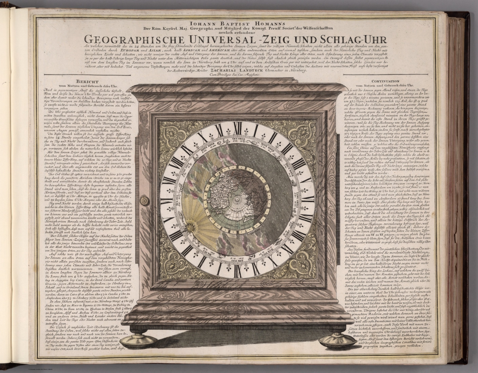 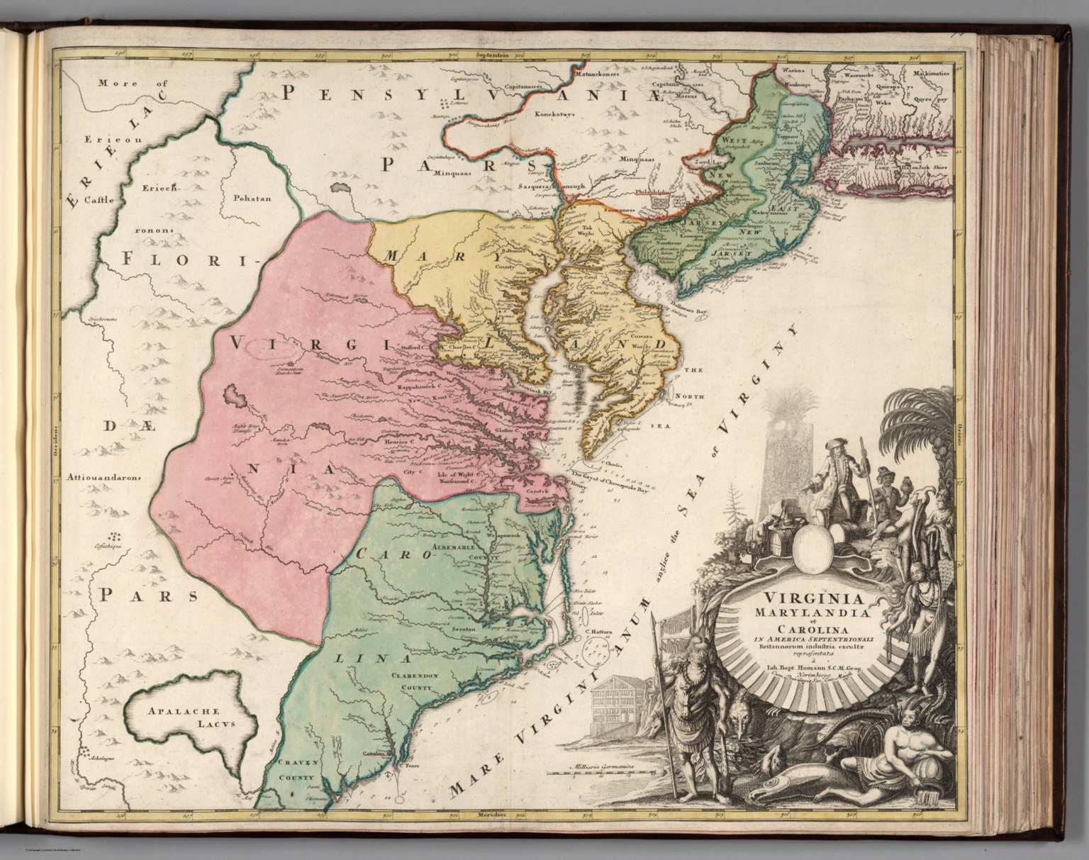 |
Composite Atlas of Homann Maps. 1788. |
 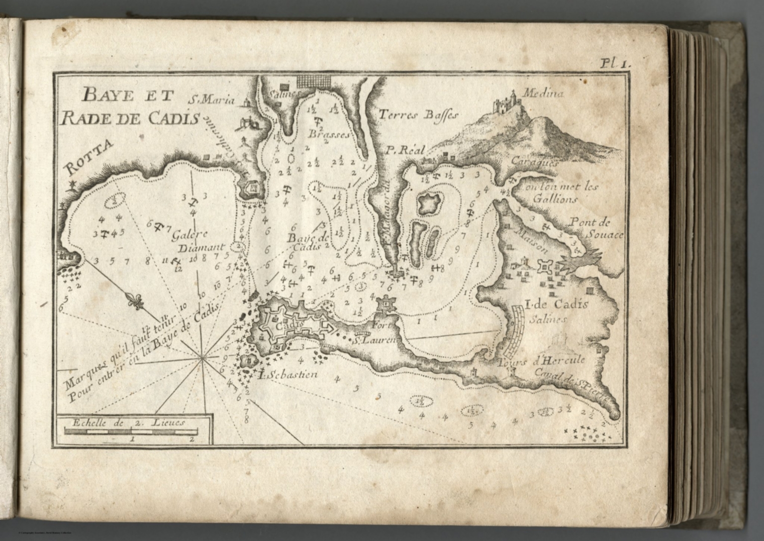 |
Receuil Des Principaux Plans des Ports, et Rades de la Mer Mediterranee, Estraits, de ma Carte de Douze Feiiilles. Dediee a Monsgr. le Duc de Choiseul, Ministre de la guerre et de la Marine gravee avec Privilege du Roy. Par Son tres humble Serviteur, Joseph Roux, Hidrographe du Roy. A Marseille, 1764. (Compilation of the Plans of the Principal Ports and Natural Harbors of the Mediterranean, Straits. Map in Twelve Sheets. Dedicated to Monsieur the Duke de Choiseul, Minister of War and Navy engraved with the Privilege of the King. By His very humble servant, Joseph Roux, Hydrographer to the King. In Marseille, 1764. |
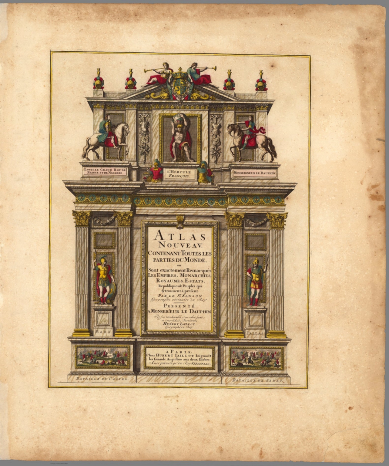 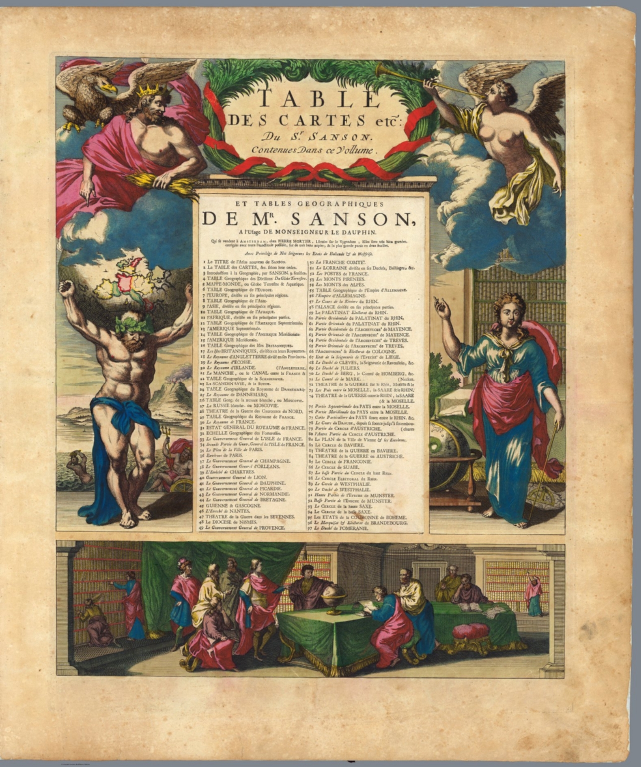 |
Atlas Nouveau Contenant Toutes Les Parties du Monde, ou Sont exactement Remarques Les Empires, Monarchies, Royaumes, Estats, Republiques & Peuples qui fy trouuent a present. Par le Sr. Sanson, Geographe ordinaire du Roy. Presente a Monseigeur le Dauphin ... Hubert Jaillot Geographe du Roy. A Paris, Chez Hubert Jaillot .... (1675). |
  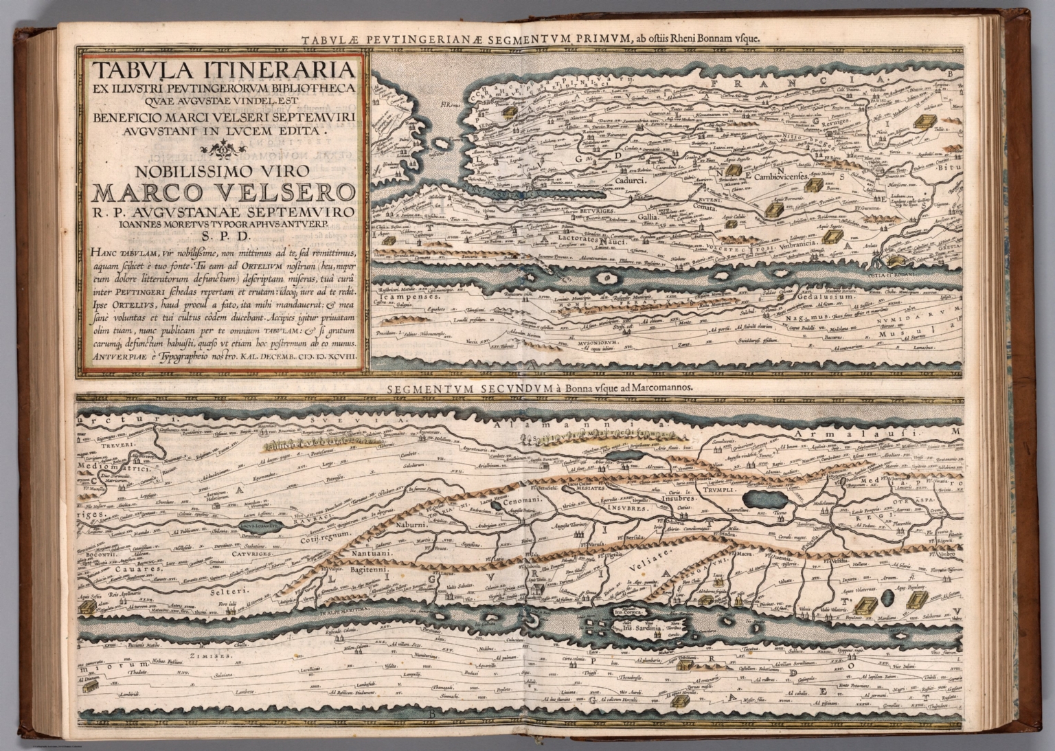 |
Theatrum geographiae veteris, duobus tomis distinctum, edente Petro Bertio Bevero. Christianissimi Galliarum regis Ludovici XIII. Cosmographo. (decorative title) Theatri geographiae veteris : tomus prior in quo Cl. Ptol. Alexandrini, Geographiae libri viii. Graeca ad codices Palatinos collata aucta et emendata sunt Latina infinitis locis correcta, opera P. Bertii Christianissimi Galliarum regis cosmographi. Lugduni Batavorum, Excudebat typis suis Isaacus Elzevirius, sumptibus Iudoci Hondii, anno MDCXVIII. 1618. |
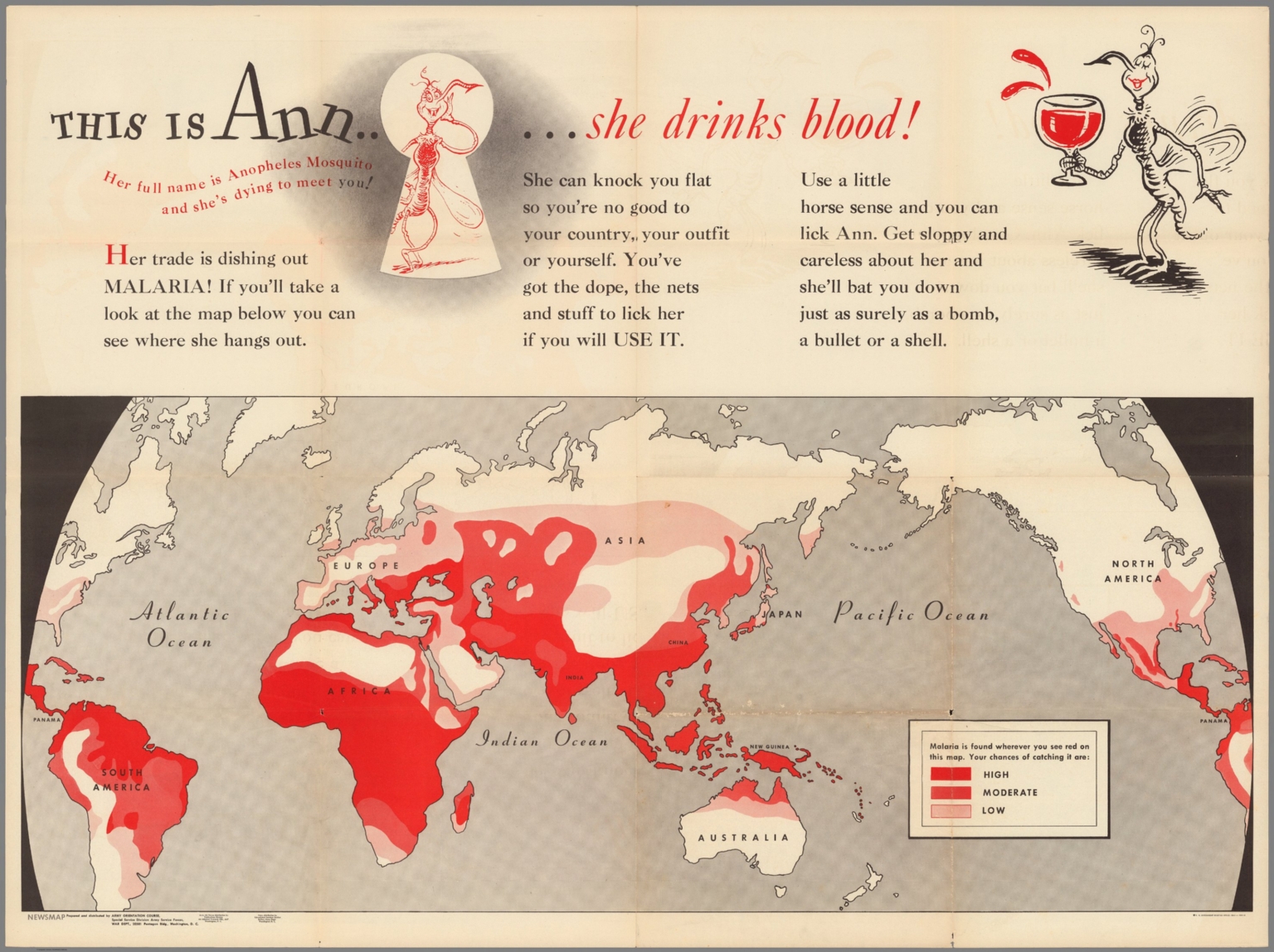 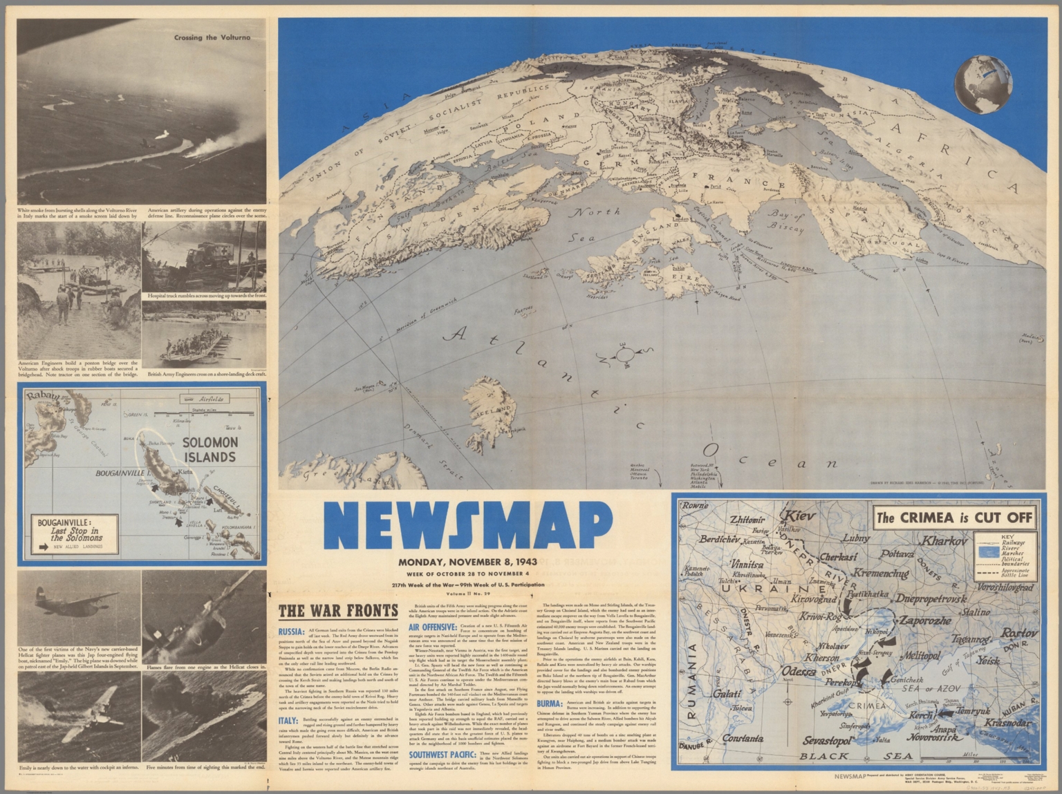 |
This is Ann ... she drinks blood. Her full name is Anopheles Mosquito and she's dying to meet you! ... Prepared and distributed by Army Orientation Course, Special Service Division, Army Service Forces. War Dept., Washington, D.C. Government printing Office, 1943, 538110. (on verso) Newsmap : Monday, November 8, 1943 : week of October 28 to November 4 : 217th week of the war : 99th week of U.S. participation. Volume II, No. 29. Drawn by Richard Edes Harrison, 1940. Time Inc. (Fortune). 1943. |
 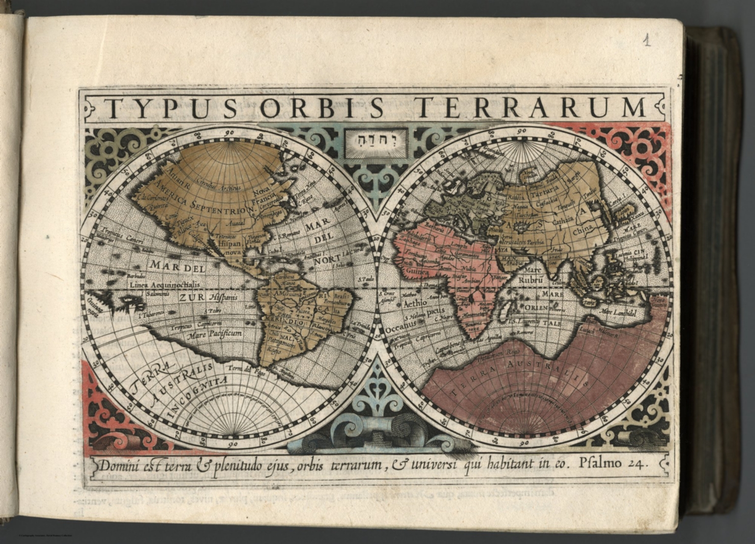 |
Atlas minor Gerardi Mercatoris, a I. Hondio plurimis aeneis tabulis auctus et illustratus. Amsterodami Excusum in aedibus Iudoci Hondij, venunt etiam apud Corneliu Nicolai, item apud Ioannem Ianssoniu Arnhemi. 1607. |
 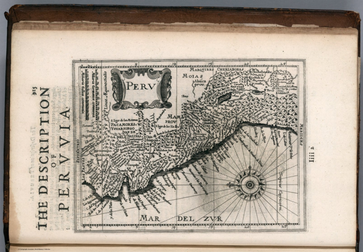 |
Historia mundi: or Mercator's atlas : Containing his cosmographicall description of the fabricke and figure of the world. Lately rectified in divers places, as also beautified and enlarged with new mappes and tables; by the studious industry of Iudocus Hondy. Englished by W.S. generosus, & Coll. Regin. Oxoniae. London Printed for Michaell Sparke, and are to be sowld in Greene Arboiure, 1637. Second edytion. |
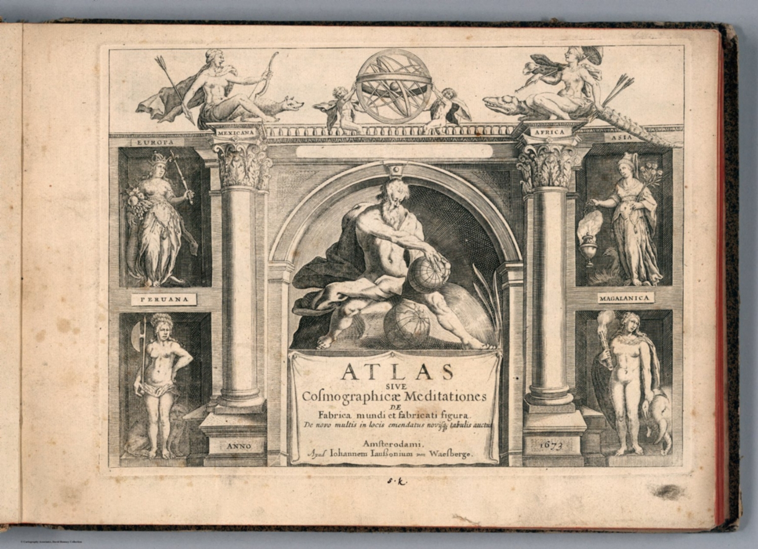 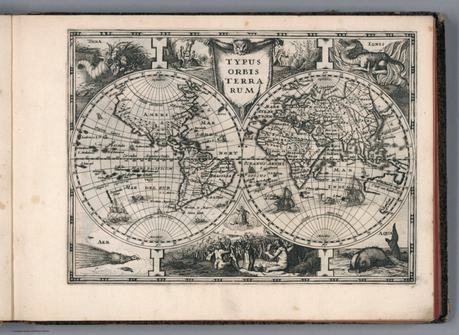 |
Atlas sive Cosmographicae Meditationes de Fabrica mundi et fabricati figura. De novo multis in locis emendatus novisque tabulis auctus. Amsterodami, apud Iohannem Ianssonium van Waesberge. Anno, 1673. |
 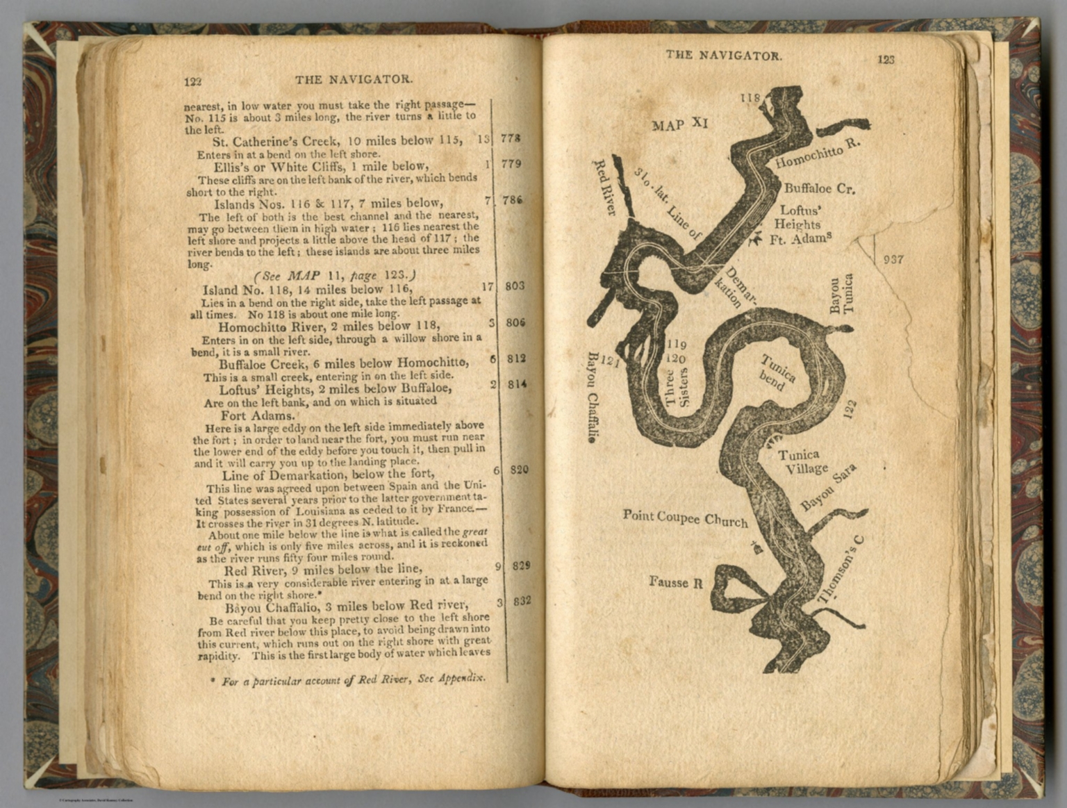 |
The Navigator: Containing Directions For Navigating The Monongahela, Allegheny, Ohio and Mississippi Rivers With An Ample Account Of These Much Admired Waters, From The Head Of The Former To the Mouth Of The Latter... With Accurate Maps Of The Ohio And Mississippi. To Which Is Added An Appendix, Containing An Account Of Louisiana, And Of The Missouri And Columbia Rivers, As Discovered By The Voyage Under Captains Lewis And Clarke. Sixth Edition - Improved And Enlarged. (Copy-right secured according to law.) Pittsburgh, Published by Zadok Cramer and sold at his Bookstore, Market-Street. [Price one Dollar.] From the Press of Cramer & Spear. 1808. |
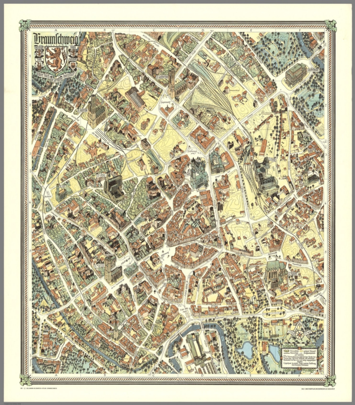 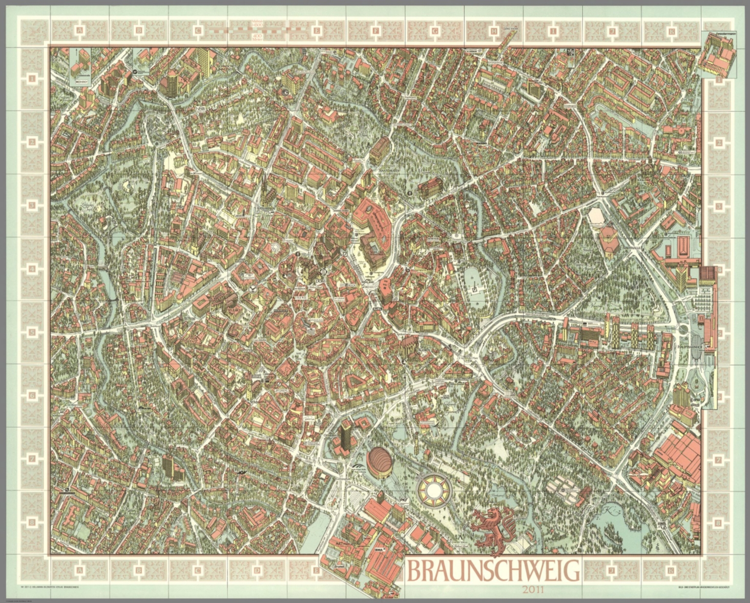 |
318 City Maps by Hermann Bollmann. 1948 to 2014. |
  |
Leo Belgicus. 1617. (In) Petri Kaerii Germania Inferior id est, XVII Provinciarum ejus novae etc exactae Tabulae Geographicae, cum Luculentis Singularum descriptionibus additis. a Petro Montano. Amstelodami impensis Pet. Kaerii. 1617. |
 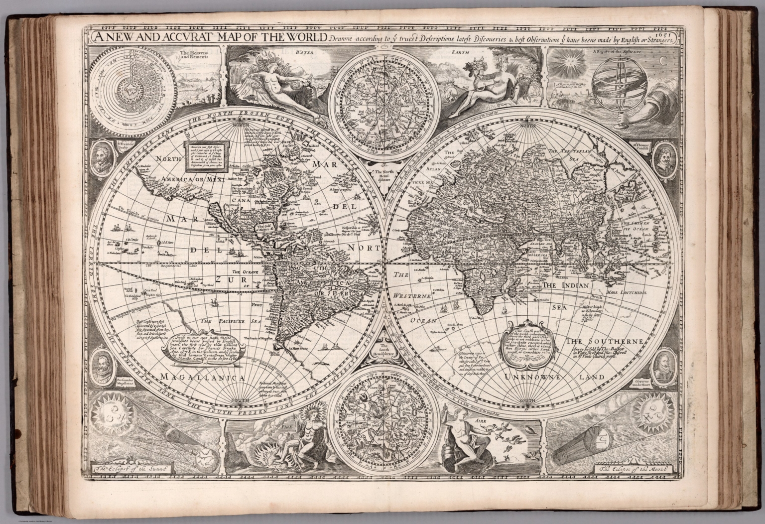 |
The Theatre of the Empire of Great Britaine. Presenting An Exact Geography of the Kingdomes of England, Scotland, and Ireland and the Isles adjoyning with the Shires Hundreds Citys and the Shire townes within the Kingdome of England devided and described. As also A Prospect of the most famous Parts of the World. By John Speed ... London. Printed for Thomas Bassett and Richard Chiswell. 1676. |
 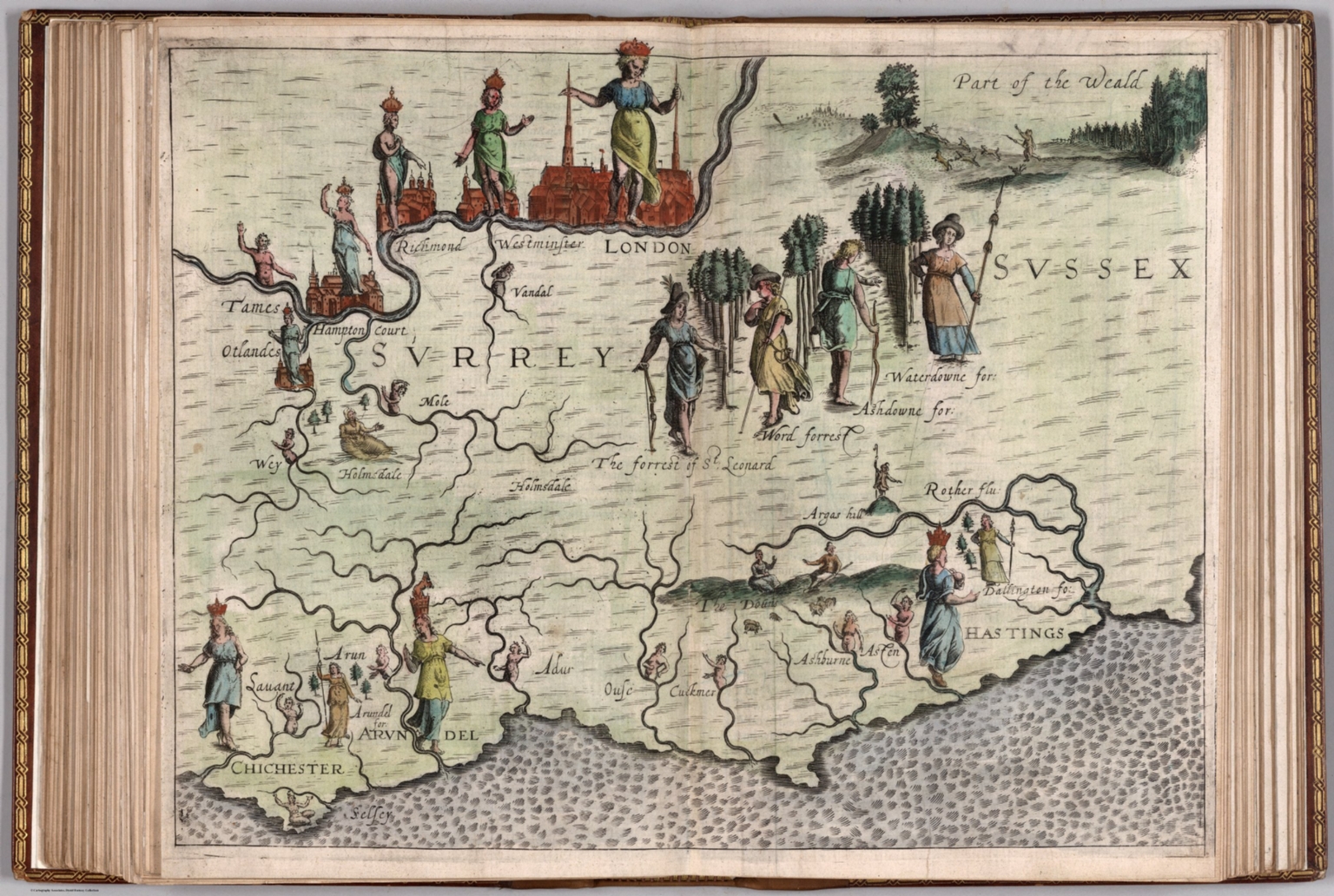 |
Poly Olbion. A Chorographicall Description of All the Tracts, Rivers, Mountains, Forest, and other Parts of this Renowned Isle of Great Britain ,,, Divided into Two Bookes ... by Michael Drayton. London, Printed for John Marriott, John Grismand, and Thomas Dewe. 1622. |
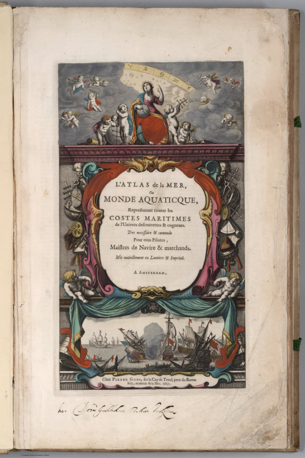 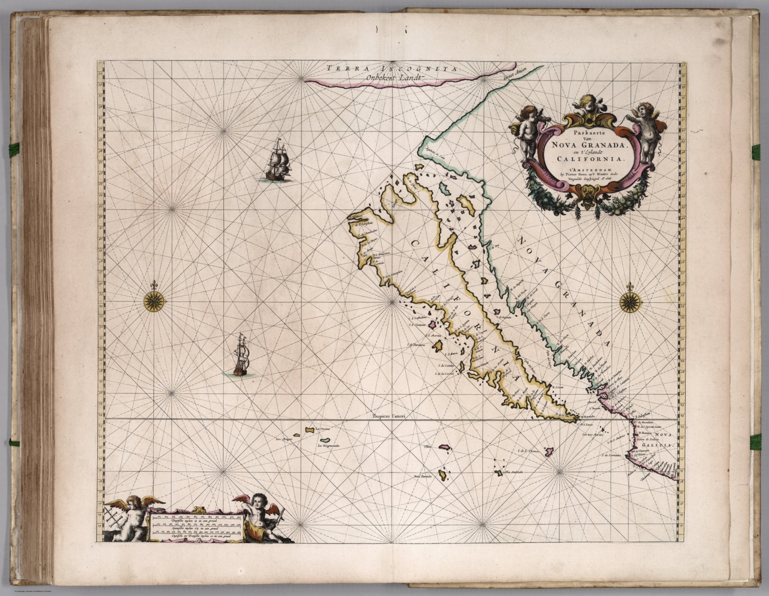 |
L'Atlas de la Mer, ou Monde Aquaticque, Representant toutes les Costes Maritimes de l'Univers descouvertes & cogneues. Tres necessaire & commode Pour tous Pilotes, Maistres de Navire & marchands. Mis nouvellement en Lumiere & Imprime. A Amsterdam, Chez Pieter Goos. 1667. |
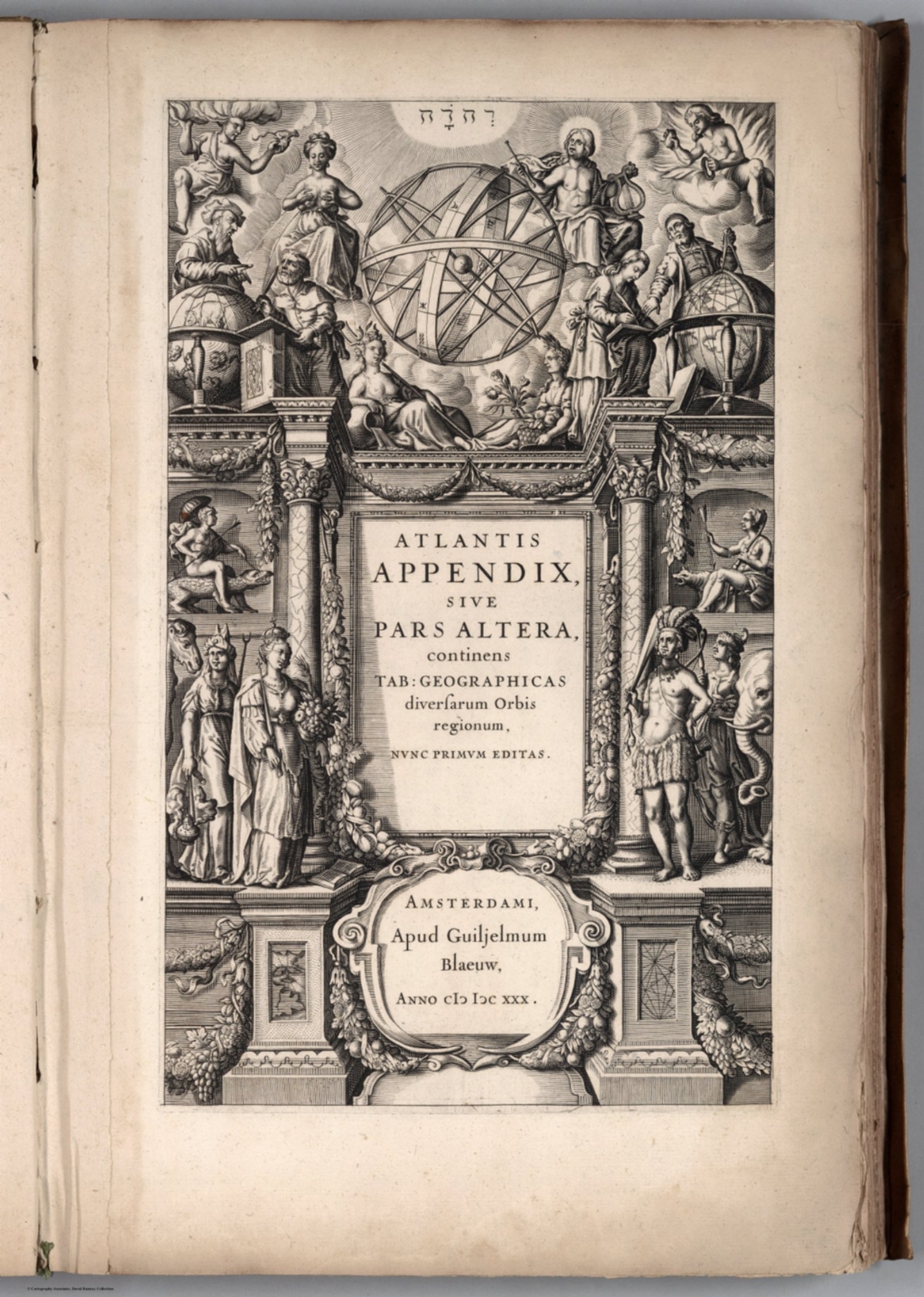 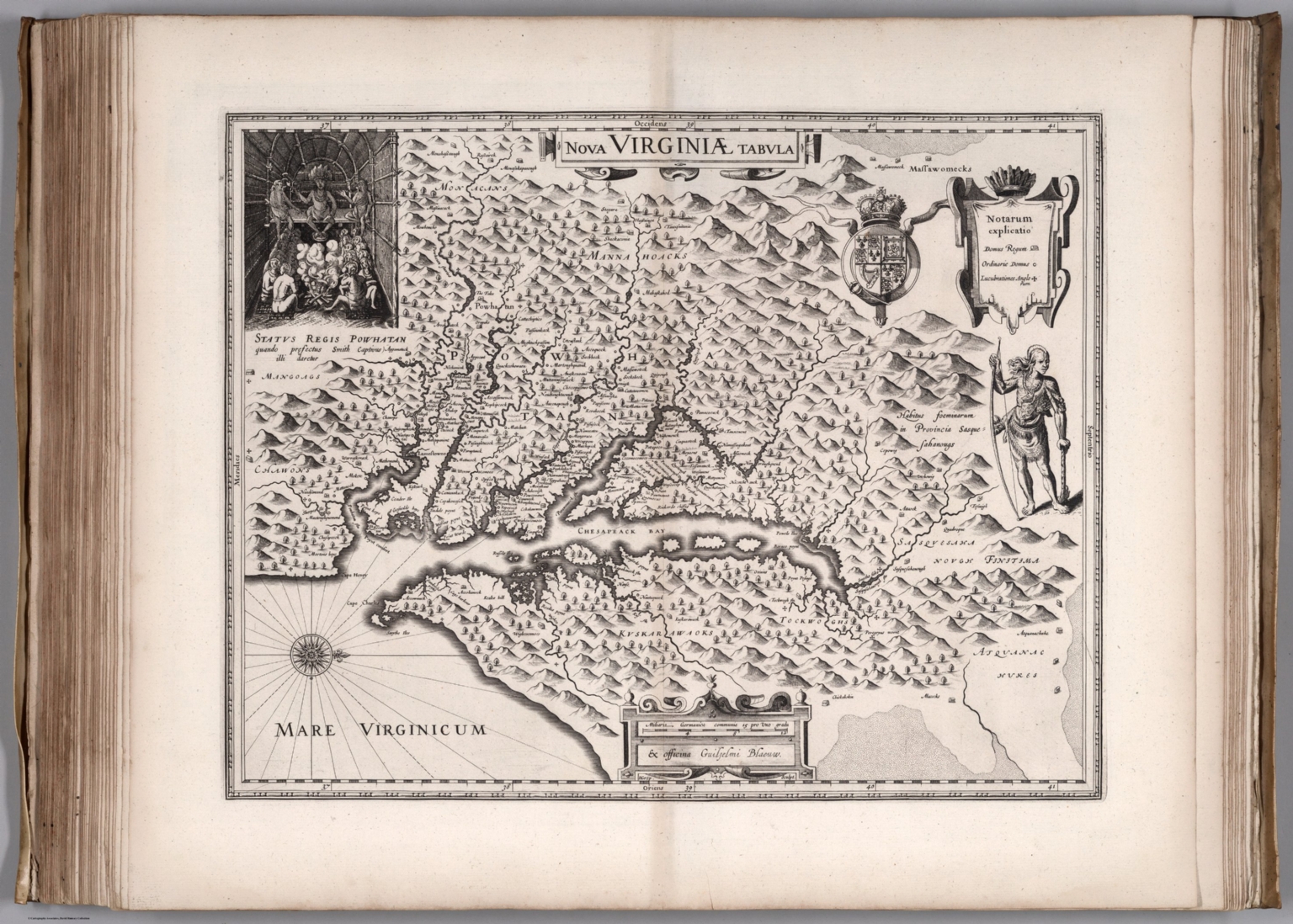 |
Atlantis Appendix, sive pars Altera, continens Tab: Geographicas diversarum Orbis regionum, nunc primum editas. Amsterdami, Apud Guiljelmum Blaeuw. Anno (1630). |
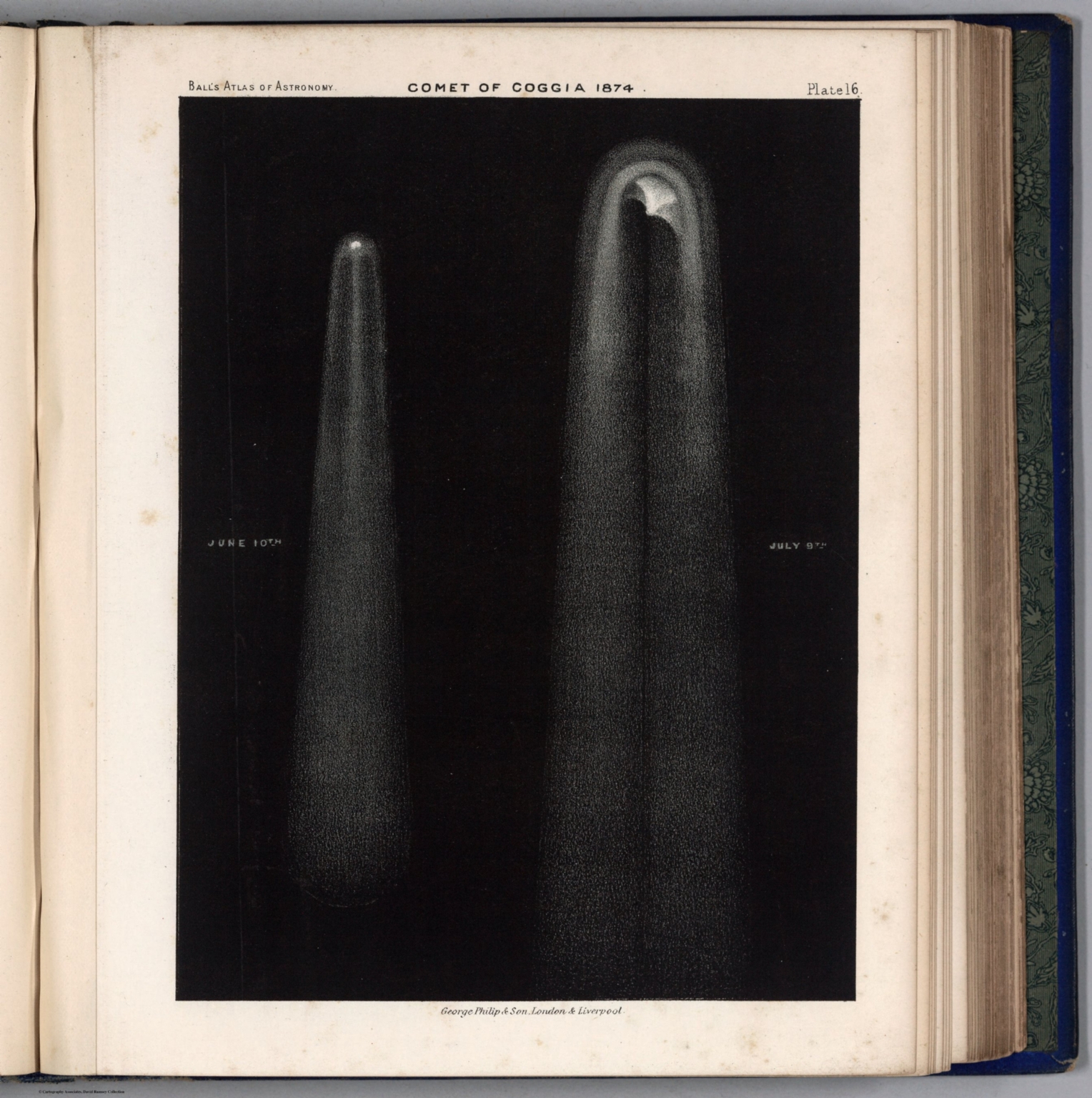 |
An Atlas of Astronomy. A Series of Seventy-two Plates with Introduction and Index. By Sir Robert Stawell Ball, LL.D., F.R.S. ... London: George Philip & Son. 1892. |
 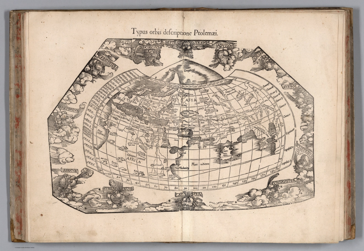 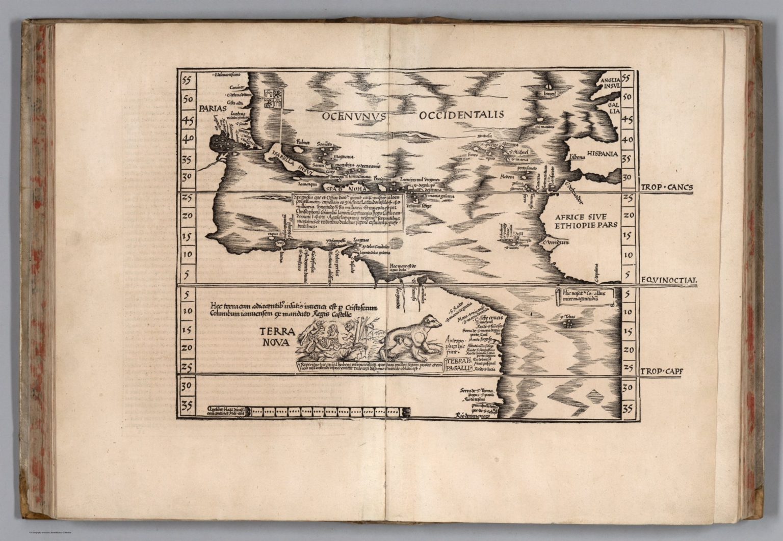 |
Claudii Ptolemaei Alexandrini Geographicae enarrationis libri octo. Sed ad Graeca & prisca exemplaria a Michaele Villanouano secundo recogniti & locis innumeris denuo castigati. Adiecta insuper ab eodem Scholia, quibus & difficilis ille Primus Liber nunc primum explicatur, & exoleta Urbium nomina ad nostri seculi morem exponuntur. Quinquaginta illae quoque cum veterum tum recentium Tabulae adnectuntur variisque incolentium ritus & mores explicantur. Accedit index locupletissimus hactenus non uisus. Prostant Lugduni Apud Hugonem a Porta. M.D.XLI. (1541). |
  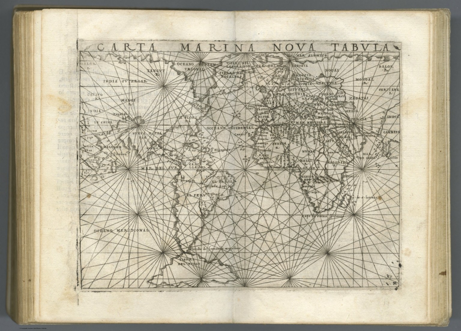 |
Ptolemeo. La geografia di Claudio Ptolemeo alessandrino, con alcuni comenti & aggiunte fatteui da Sebastiano Munstero alamanno, con le tauole non solamente antiche & moderne solite di stamparsi, ma altre nuoue aggiunteui di messer Iacopo Gastaldo piamontese cosmographo, ridotta in uolgare italiano da m. Pietro Andrea Mattiolo senese medico eccellentissimo. Con l'aggiunta d'infiniti nomi moderni, ... fatta con grandissima diligenza da esso meser Iacopo Gastaldo, il che in nissun altro Ptolemeo si ritroua. Operueramemte non meno util che necessarid. In Venetia, ... per Gioan. Baptista Pedrezano ... Anni x. M.D.XLVIII (1548). |
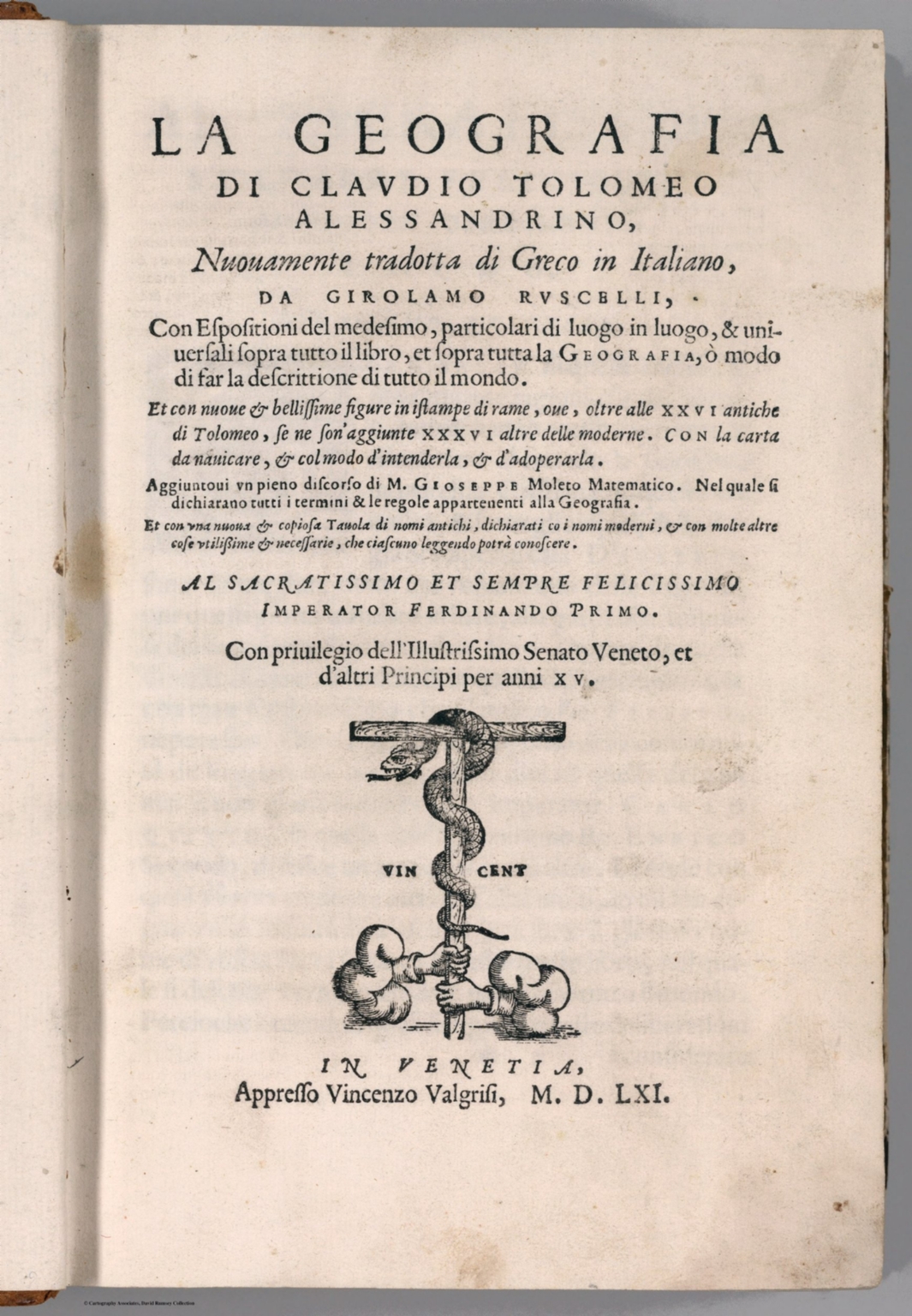 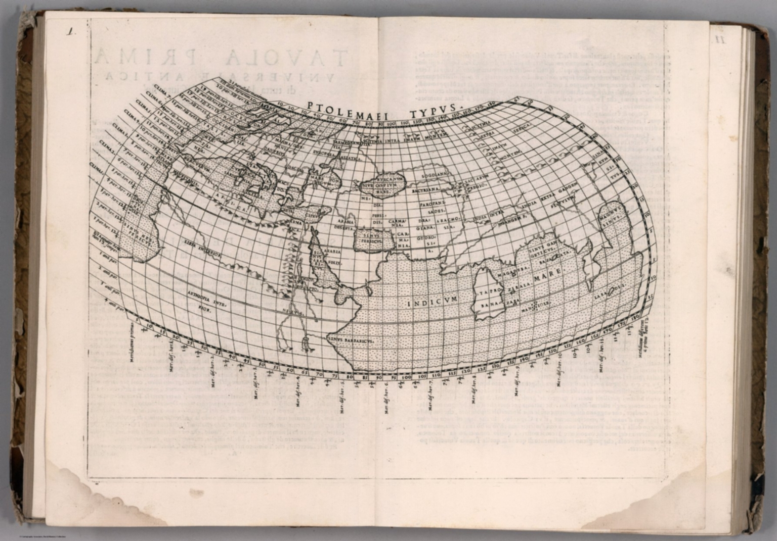 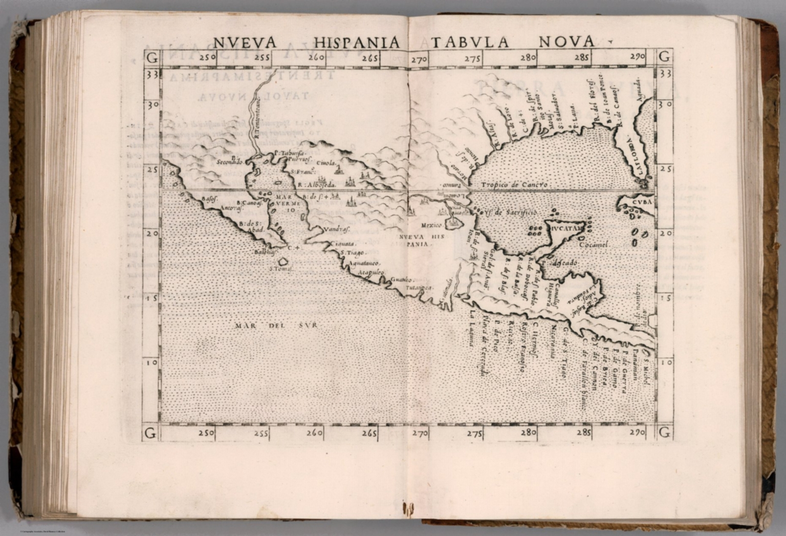 |
La geografia di Claudio Tolomeo Alessandrino, nuouamente tradotta di Greco in Italiano, da Girolamo Ruscelli ; con Espositioni del medesimo, particolari di luogo in luogo, & uniuersali sopra tutto il libro, et sopra tutta la Geografia, o modo di far la descrittione di tutto il mondo ; et con nuoue & bellisime figure in istampe di rame, oue, oltre alle XXVI antiche di Tolomeo, se ne son'aggiunte XXXVI altre delle moderne ; con la carta da nauicare, & col modo d'intenderla, & d'adoperarla ; aggiuntoui un pieno discorso di M. Gioseppe Moleto matematico ; nel quale si dichiarano tutti i termini & le regole appartenenti alla Geografia ; et con una nuoua & copiosa tauola di nomi antichi, dichiarati coi nomi moderni, & con molte altre cose utillissime & necessarie, che ciascuno leggendo potra conoscere. Al Sacratissimo et Sempre Felicissimo Imperator Ferdinando Primo. Con privilegio dell'Illustrissimo Senato Veneto, & d'altri Principi per anni XV. In Venetia, Appresso Vincenzo Valgrisi, M.D.LXI. (1561). |
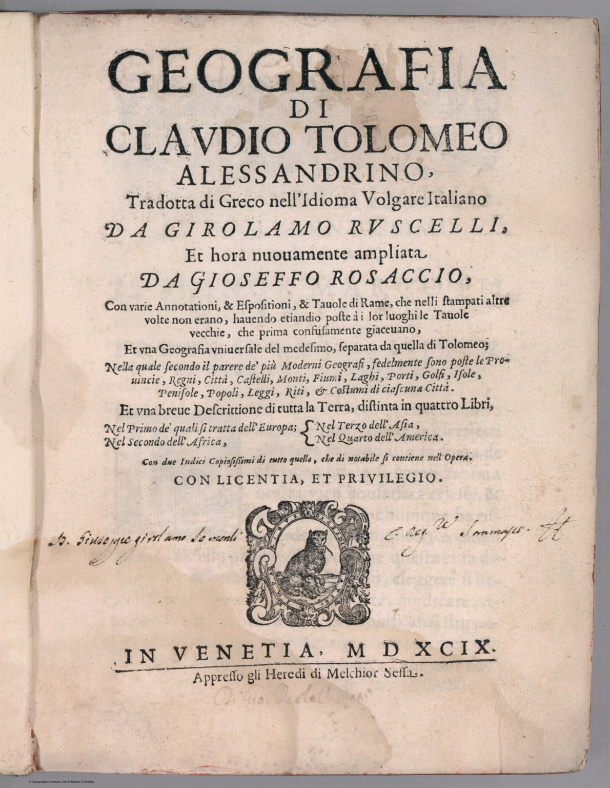 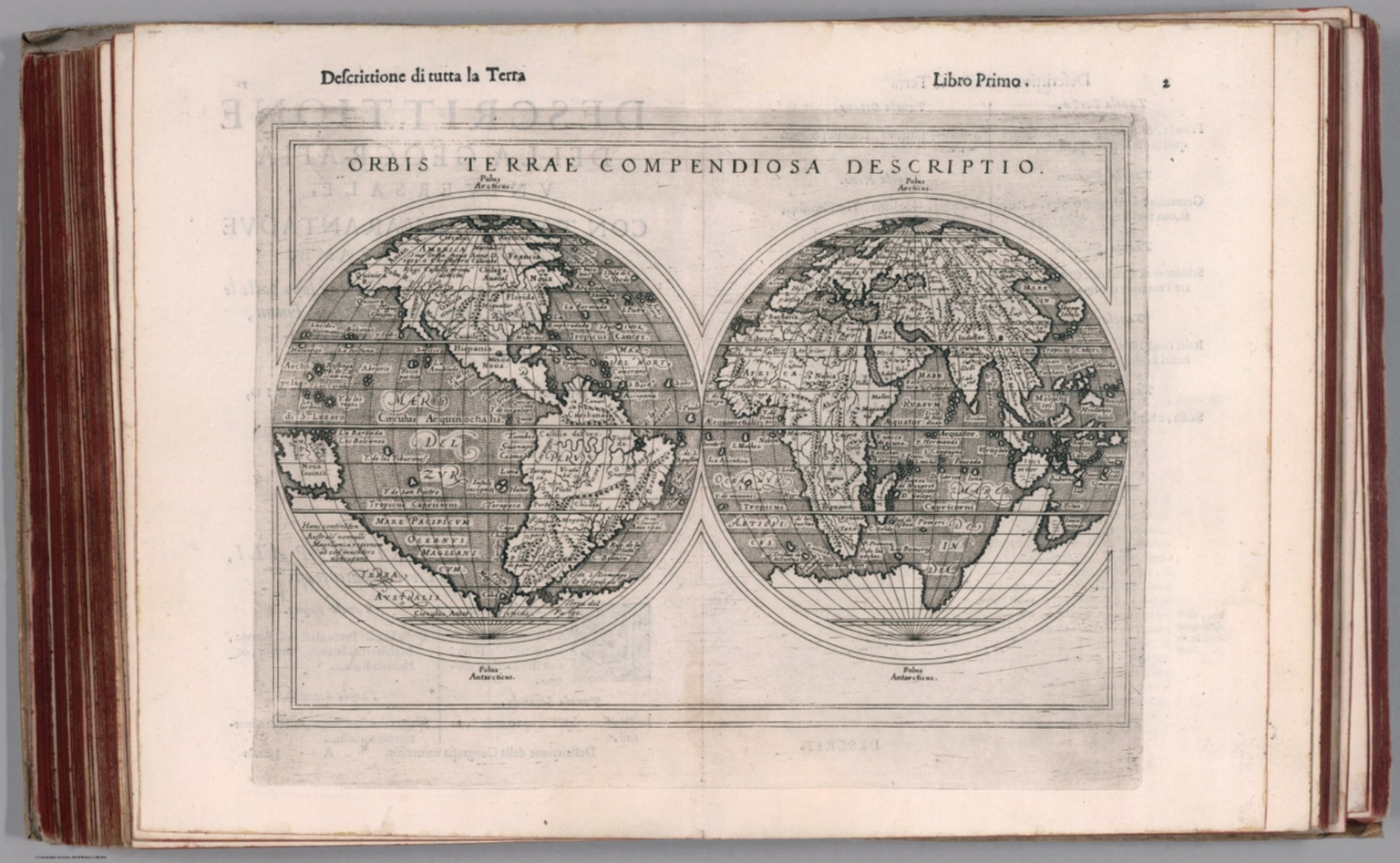 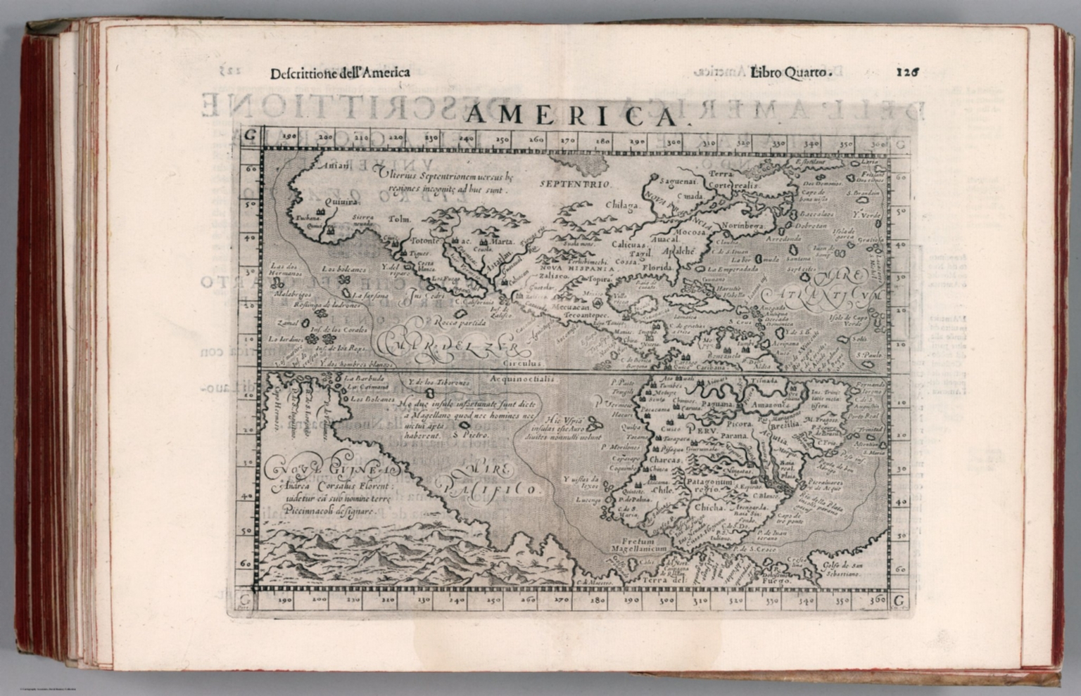 |
Geographia di Clavdio Tolomeo alessandrino, tradotta di Greco nell'idioma volgare Italiano da Girolamo Ruscelli ; et hora nuouamente ampliata da Gioseffo Rosaccio, con varie annotationi, & espositioni, & tauole di rame ... ; et vna geografia vniuersale del medesimo, separata da quella di Tolomeo ... ; et vna breue descrittione di tutta la terra, distinta in quattro libri ... ; con due indici copiosissimi di tutto quello, che di notabile si contiene nell opera. Conlicentia, et privilegio. In Venetia, MDXCIX (1599) Appresso gli heredi di M. Sessa. |
 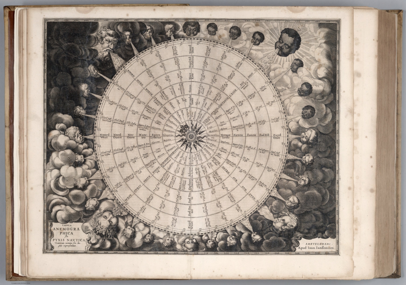 |
Atlantis Majoris Quinta Pars Orbem Maritimum seu... by Johannes Janssonius Atlantis Majoris Quinta Pars Orbem Maritimum seu Omnium Marium totius Orbis Terrarum Navigationibus hodierno tempore frequentatorum descriptionem accuratisimam continens : cui adjunctus est Orbis Antiquus et Graecia Parallela.) Amstelodami. Apud Ioannem Ianssonium. 1650. |
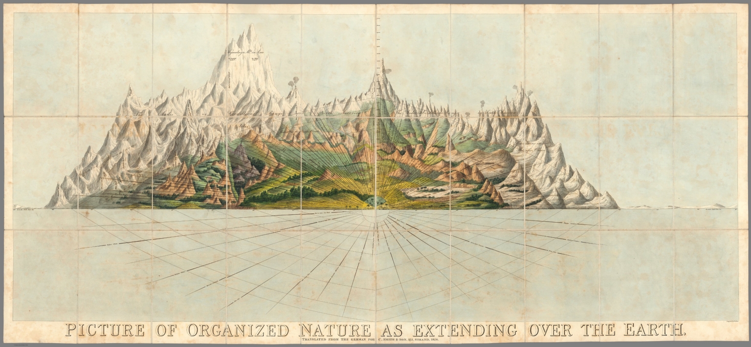 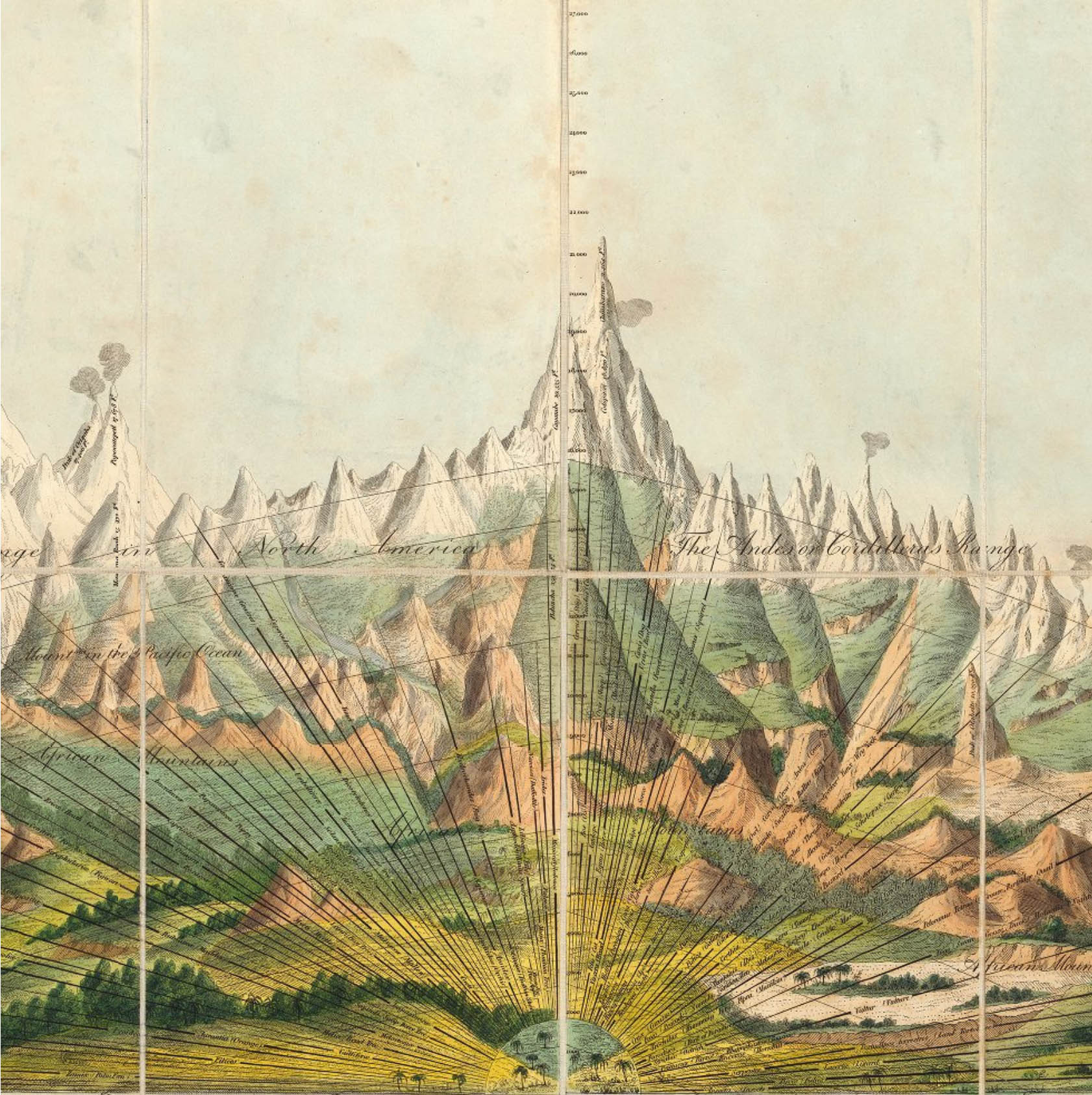 |
Picture of Organized Nature as Extending Over the Earth. Translated from the German for C. Smith & Son. 172, Strand. 1828. |
 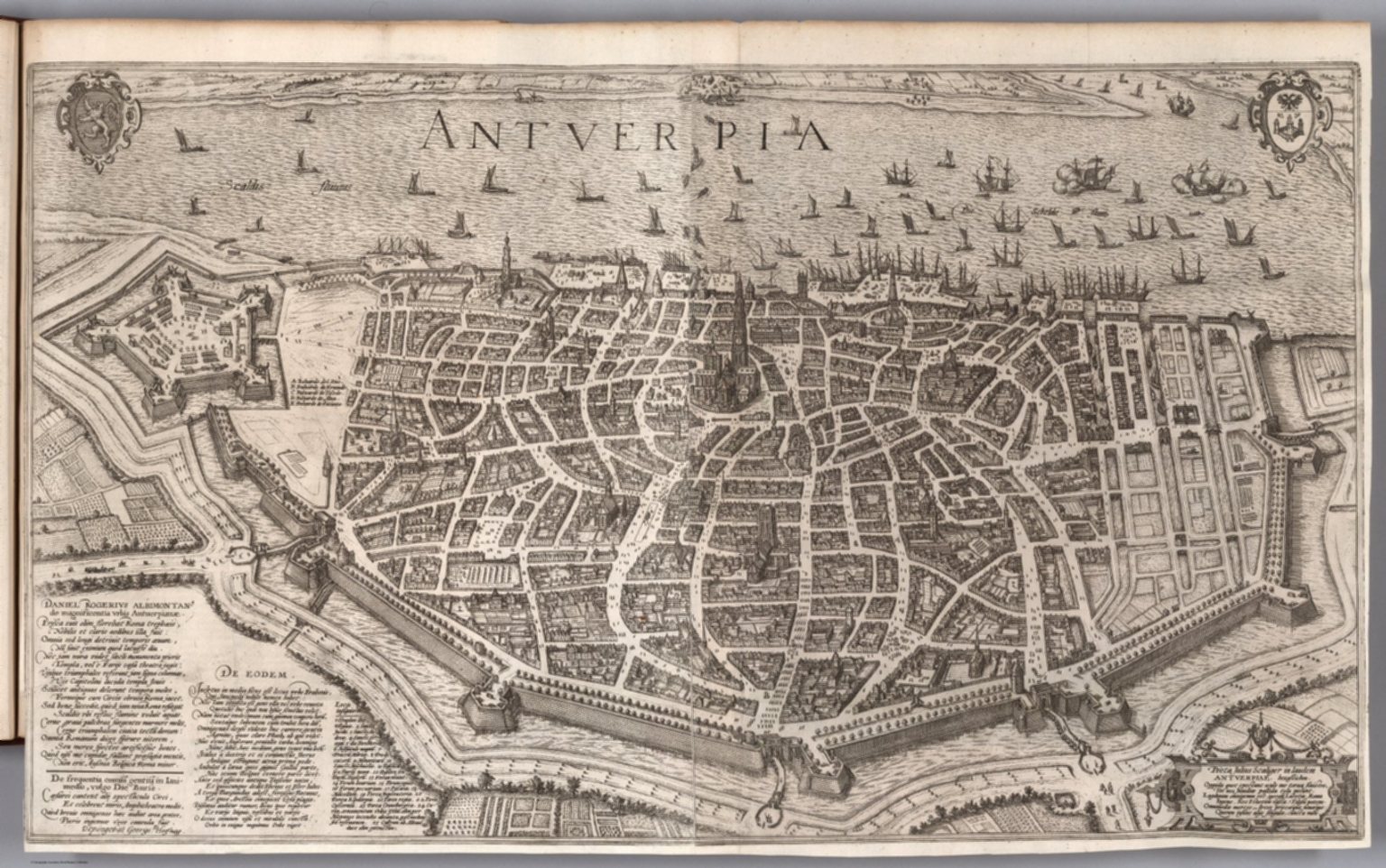 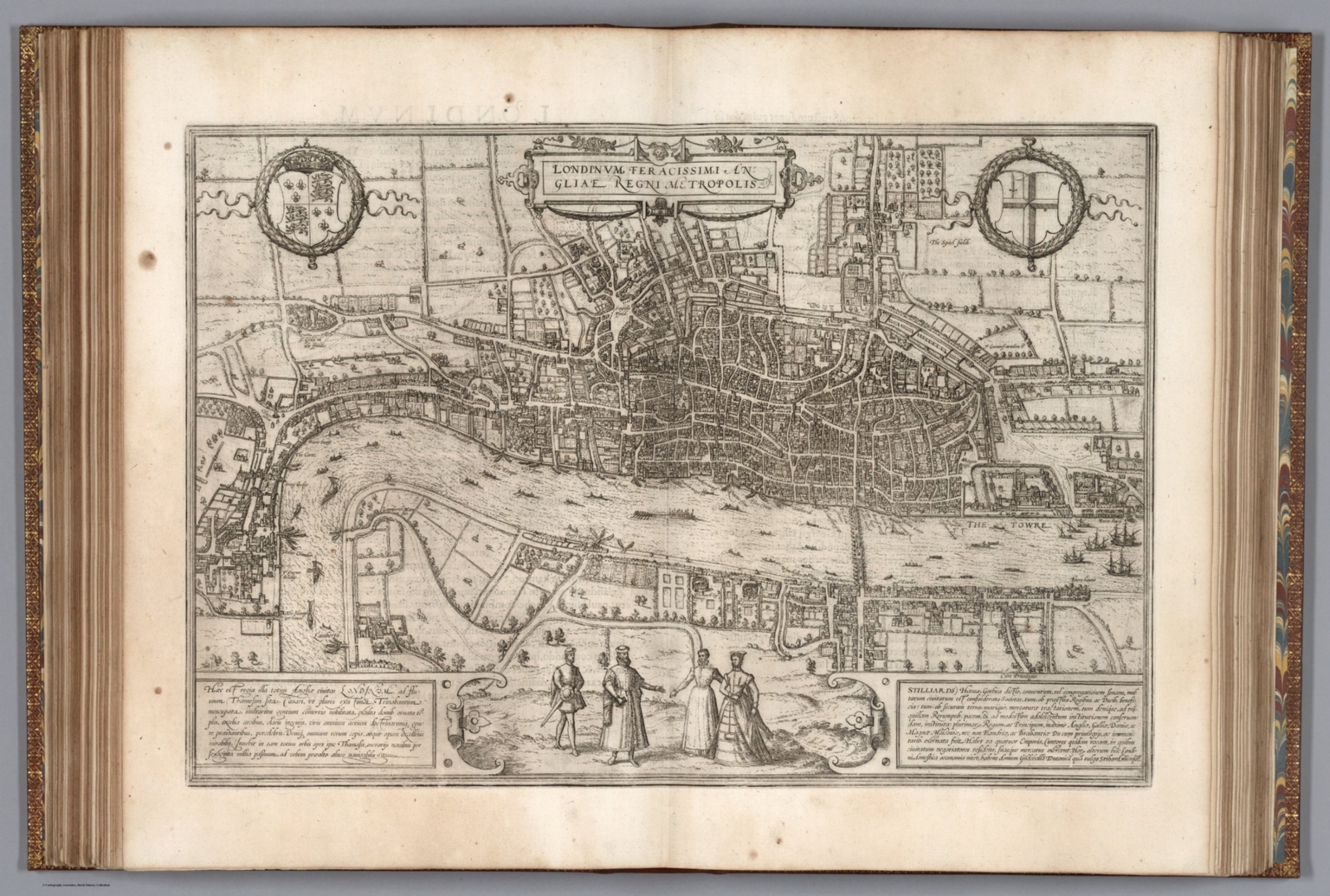 |
Civitates Orbis Terrarum. 1623-1640. |
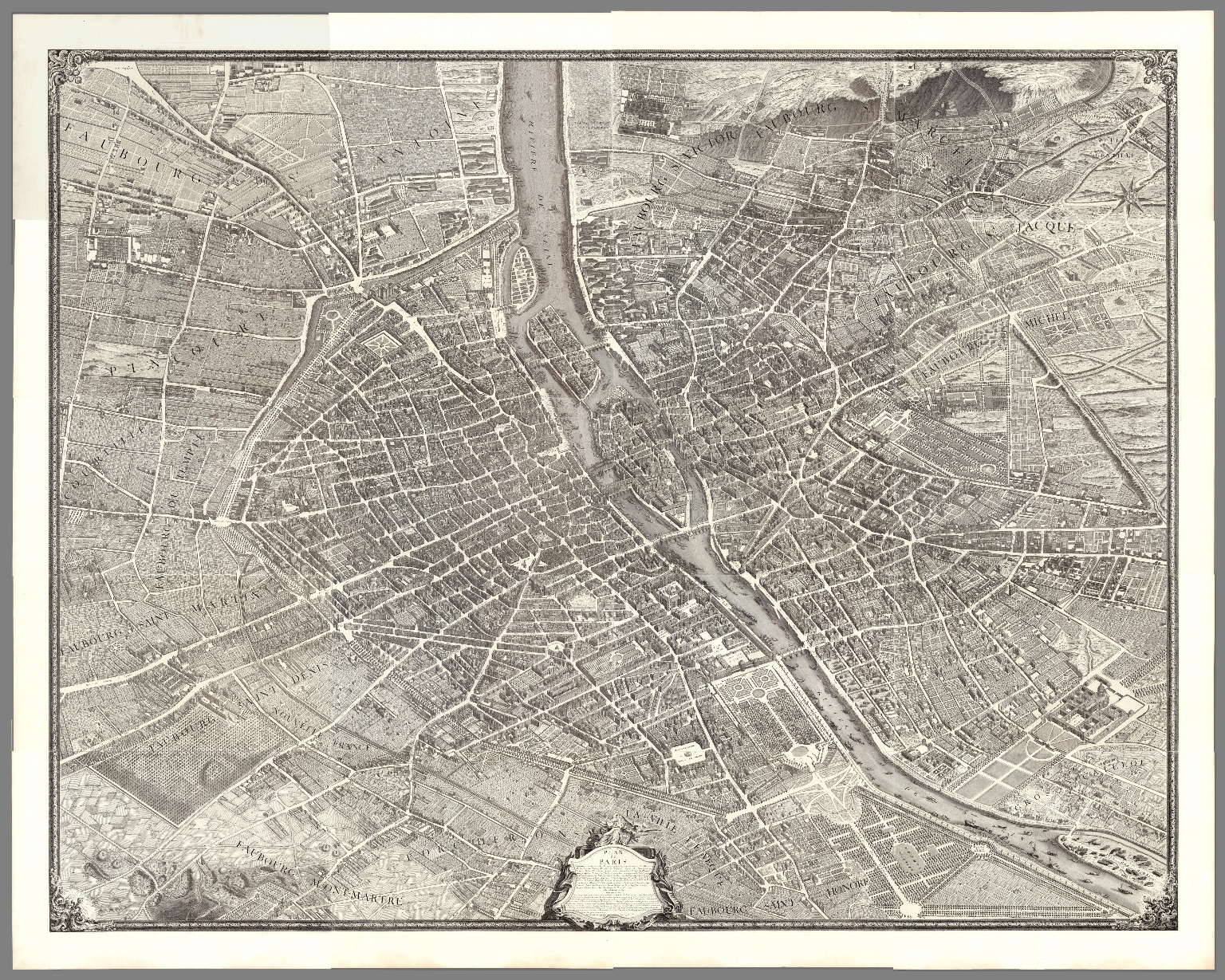 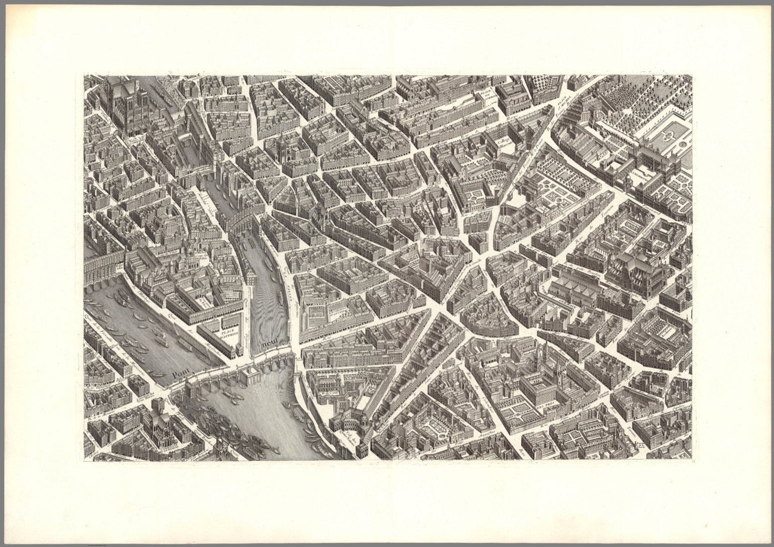 |
Plan de Paris, commence l'annee 1734 dessine et grave sous les ordres de Messire Michel Etienne Turgot,... acheve de graver en 1739 leve et dessine par Louis Bretez, grave par Claude Lucas, et ecrit par Aubin. 1739 |
 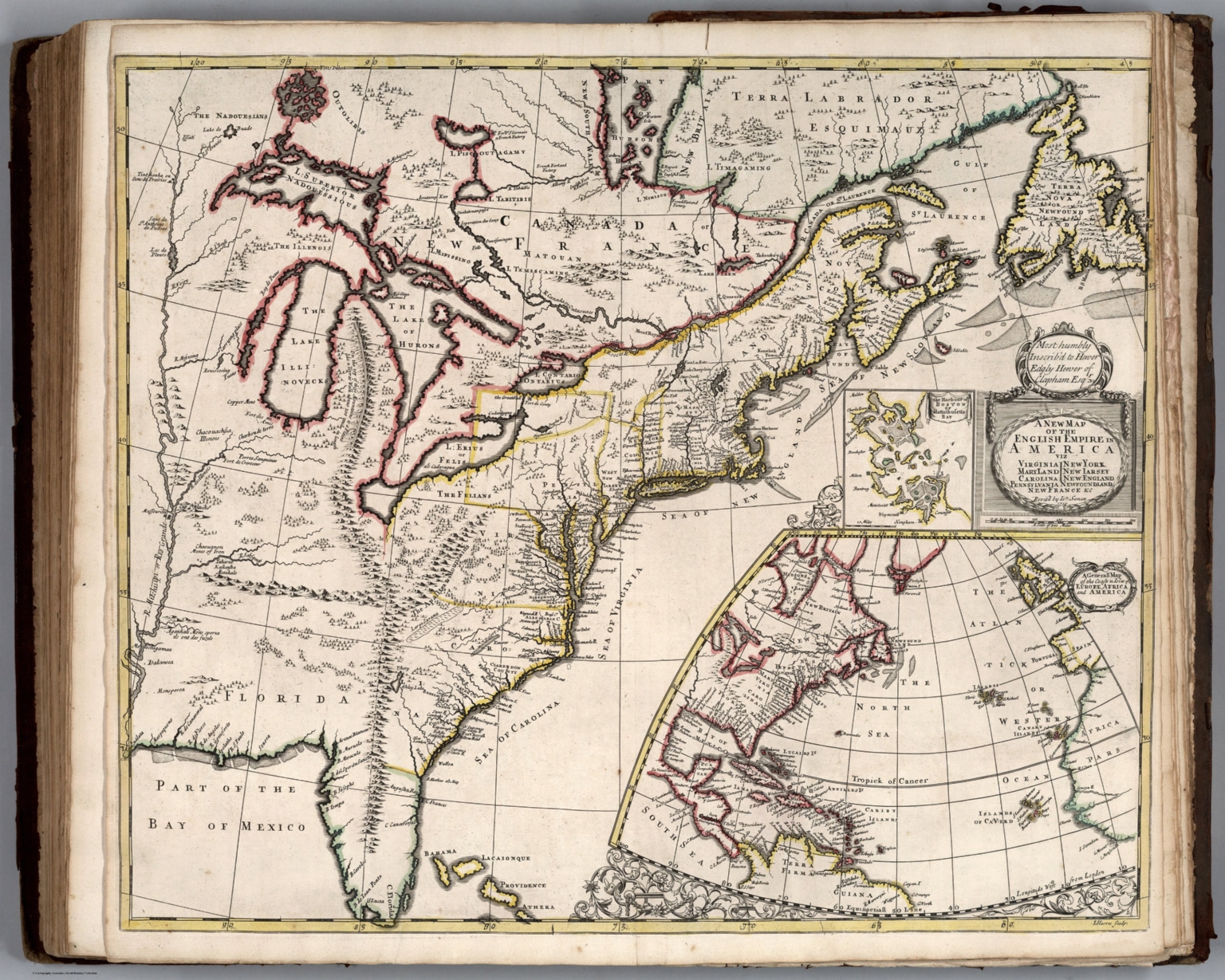 |
A New General Atlas, Containing a Geographical and Historical Account of All the Empires, Kingdoms, and other Dominions of the World with the Natural History and Trade of Each Country. Taken from the Best Authors ... To which is Prefix'd, An Introduction to Geography ... with a Copious Alphabetical Index. The Maps which are all Engraven or Revised by Mr. Senex ... London: Printed for Daniel Browne ... Thomas Taylor ... John Darby ... John Senex ... William Taylor ... Joseph Smith ... Andrew Johnston ... William Bray ... Edward Symon. M.DCC.XXI. 1721. |
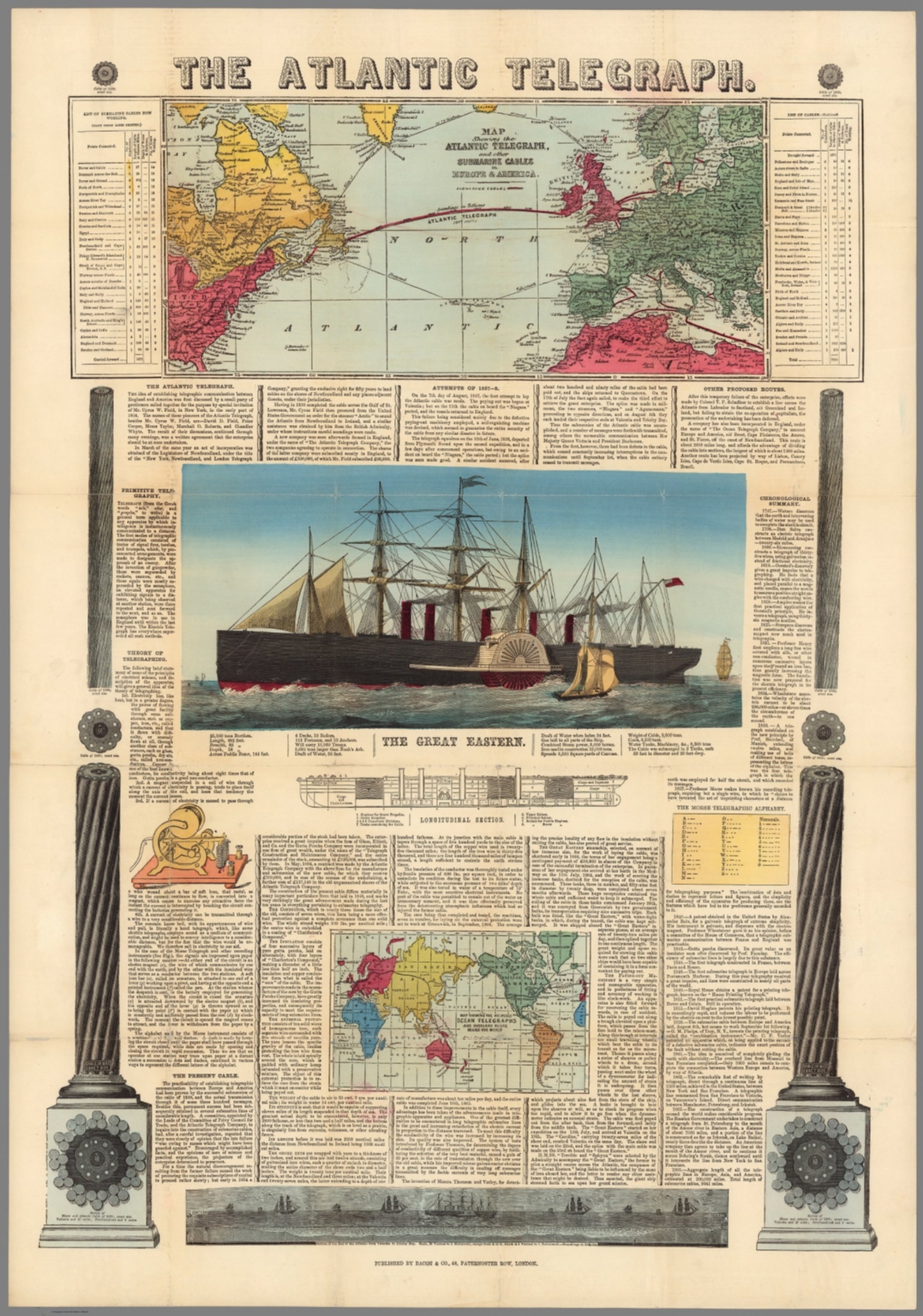 |
The Atlantic Telegraph. Map Shewing the Atlantic Telegraph, and Other Submarine Cables in Europe and America. Map Showing the Proposed Ocean Telegraphs and Overland Route Around the World. 1865. |
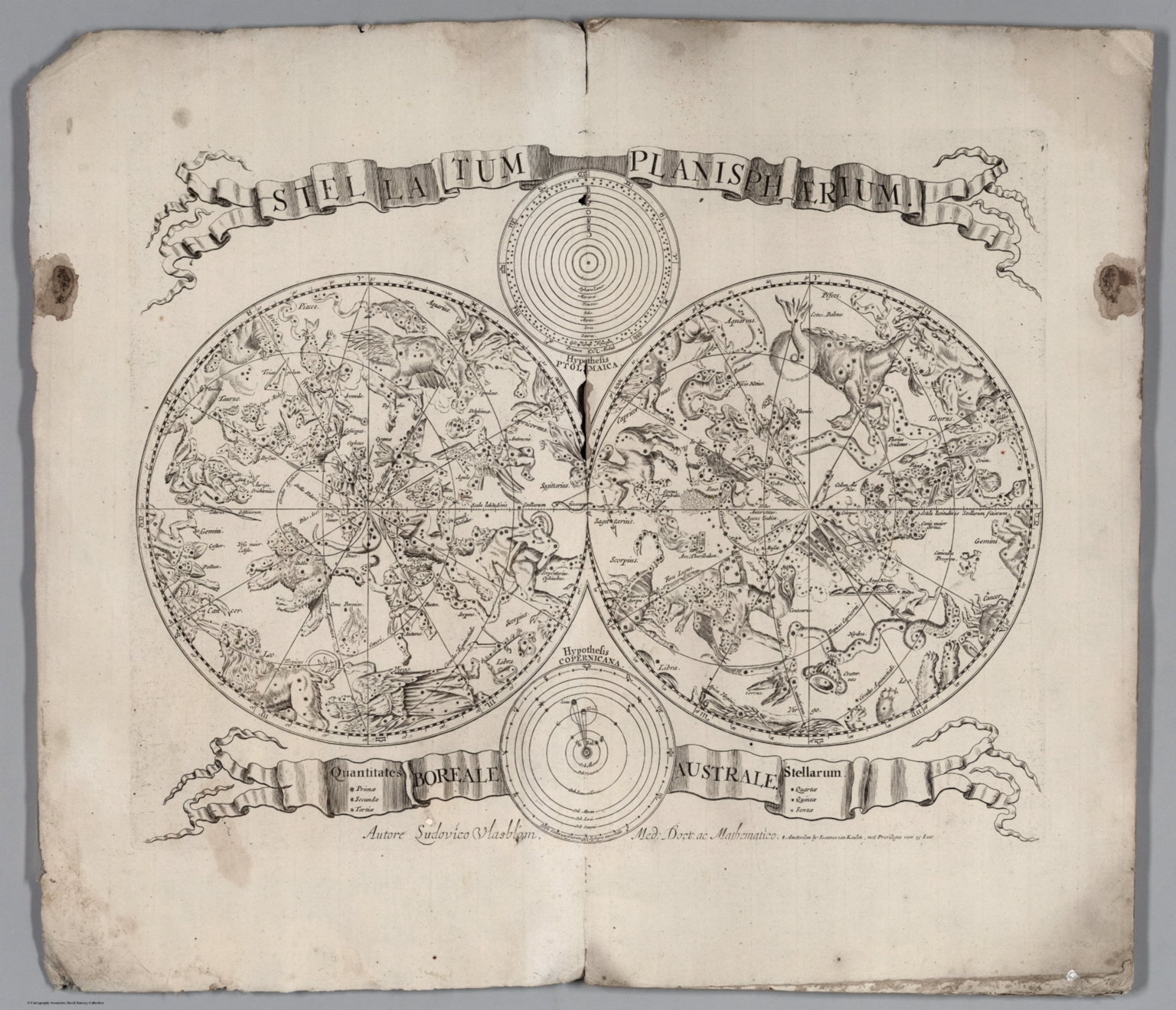 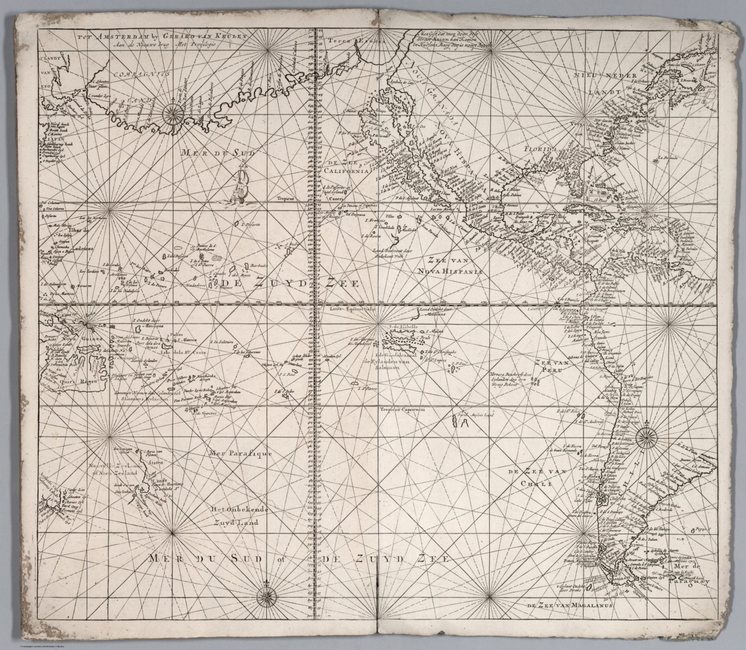 |
Van Keulen (Two Composite Chart Atlases). 1680. |
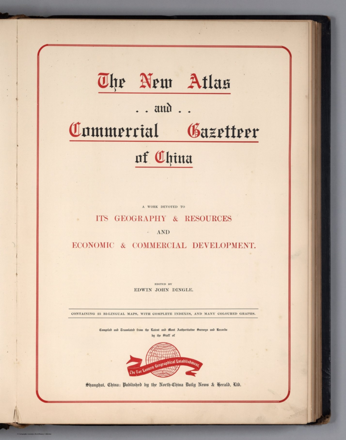 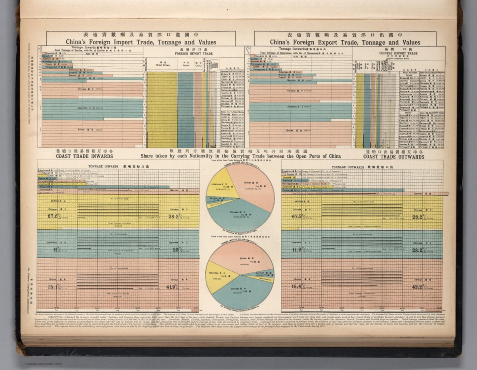 |
The New Atlas and Commercial Gazetteer of China. A Work Devoted to Its Geography & Resources and Economic & Commercial Development. Edited by Edwin John Dingle. Containing 25 Bi-lingual maps, with Complete Indexes, and Many Coloured Graphs. Compiled and Translated ... by the Staff of the Far Eastern Geographical Establishment. Shanghai, China: Published by the North-China Daily News & Herald, Ltd. 1913. |
 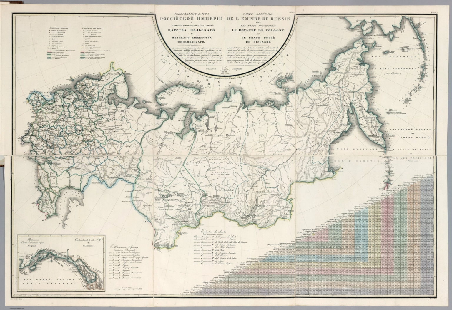 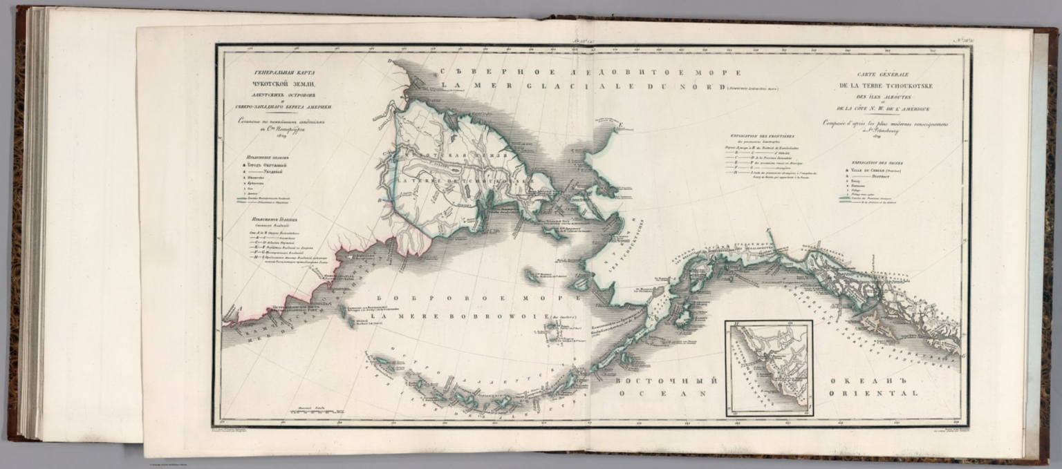 |
Geograficheskii atlas Rossiiskoi Imperii : tsarstva Polskago i Velikago kniazhestva Finliandskago : raspolozhennyia po guberniiam na 83 listakh : s oznacheniem v onykh gorodov, miestechek, sel, derevenʹ i vsiekh primiechatelnieishikh miest, pochtovykh i dolshikh proiezzhikh dorog, stantsii i razstoianiia mezhdu onymi, i prochimi seleniiami v verstakh : s generalnoiu kartoiu i tablitseiu razstoianiia verst po pochtovym dorogam mekhdu znatnieiashimi gorodami na dvukh iazykakh : Sochinen po noveiashim i dostovernym svedeniiam v polzu obuchaiushchikhcia Rossiiskoi Teografii, i dlia sostavleniia dorozhnikov puteshestvennikam -sluzhashchim pri glavnom shtabe Ego Imperatorskago Velichestva v Voenno-topograficheskom depo, chinovnikom 6go. klassa Pidyshevym ; Nachat 1820go. okonchen 1827go. vnov inspravlen v 1828 M. gody = Atlas geographique de l' empire de Russie : du royaume de Pologne et du grand duche de Finlande : divise en gouvernemens, avec l'indication des villes, bourgs, grands et petits villages, et des endroits les plus remarquables, ainsi que des routes de poste et grands chemins praticables, des stations et de la distance en verstes entr eux et autres endroits habites, explique en deux langues : avec une carte generale, et un tableau de la distance en verstes entre les principales villes situees sur les chemins de poste, en 83 feuilles : compose d'apres les plus nouveaux et authentiques renseignemens a l'usage de ceux qui desirent de connaitre la geographie de la Russie, et de former des itineraires pour les voyageurs, par le fontionnaire dela 6e. classe Piadischeff, employe au Depot Topographique militaire, dans l'etat-major de la Majeste Imperiale ; commence en 1820 et termine en 1827, reve et corrige en 1828. 1650. |
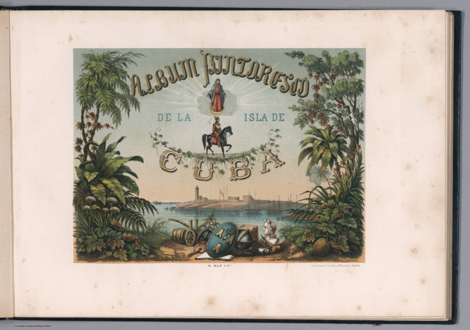 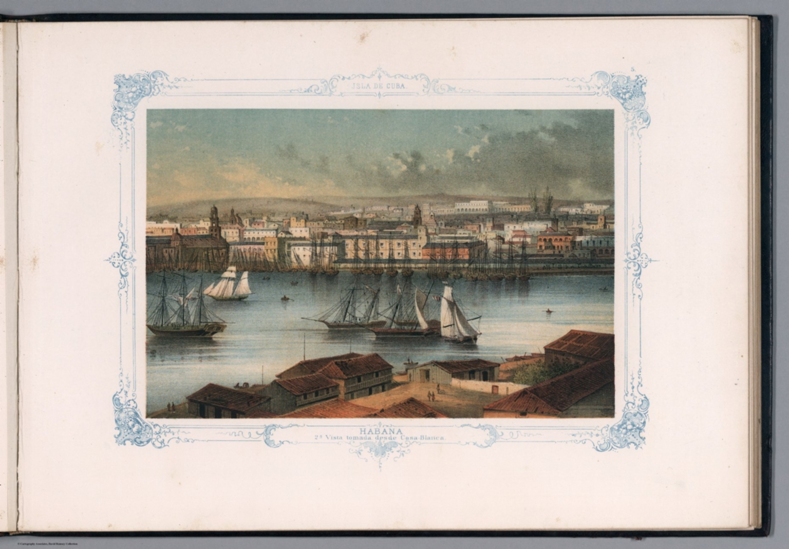 |
Album Pintoresco de la Isla de Cuba. B. May y Ca. Oilprinting Storch & Kramer, Berlin. 1855. |
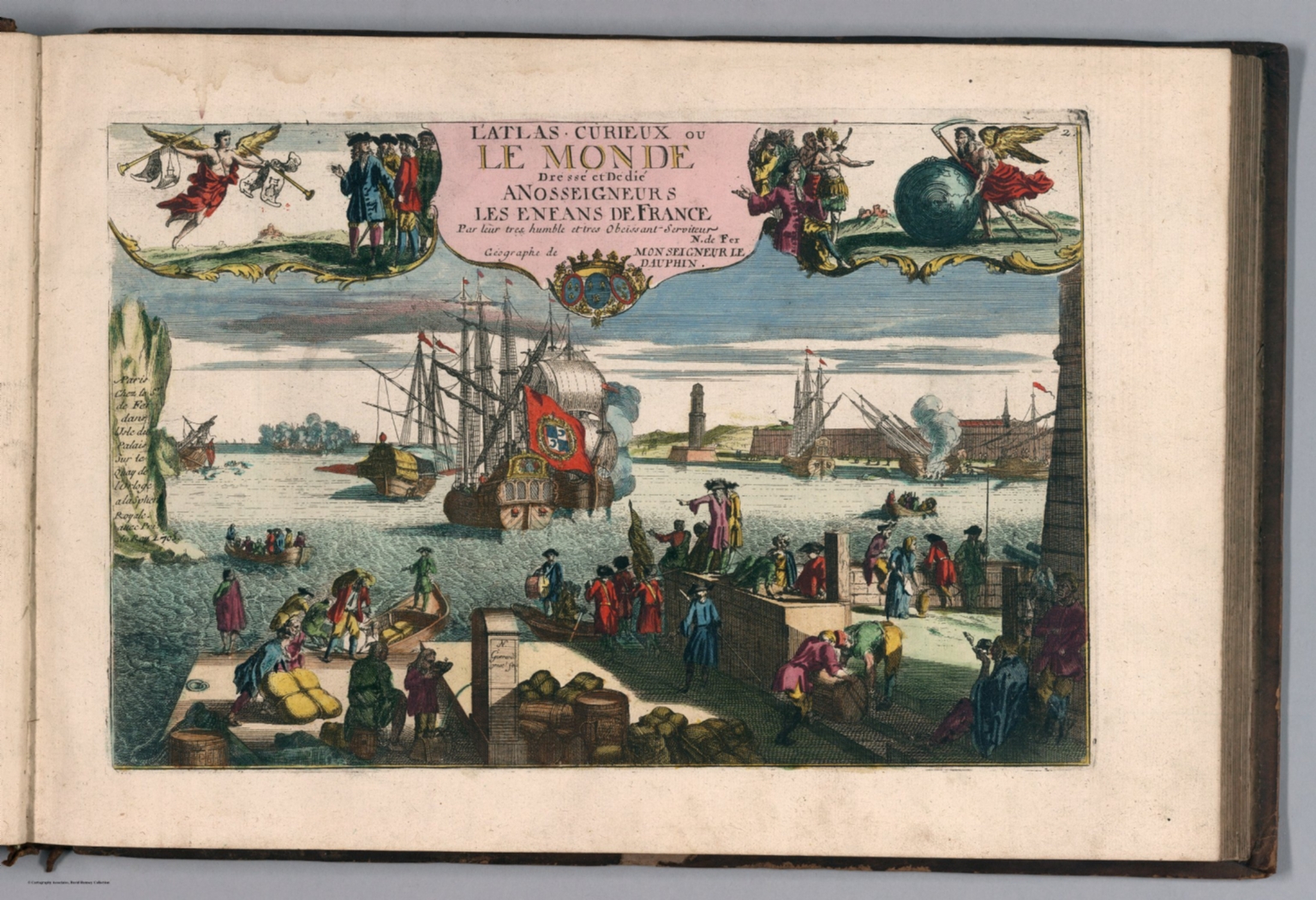 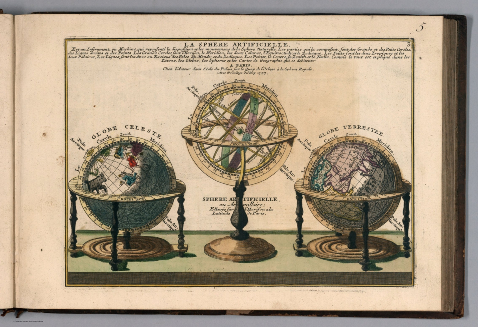 |
L'Atlas Curieux ou le Monde Represente ans des Cartes Generales et Particulieres du Ciel et de la Terre: Divise tant en ses Quatre Principales Parties que par Etats et Provinces et Orne ... a Paris chez l'Auteur. 1717. |
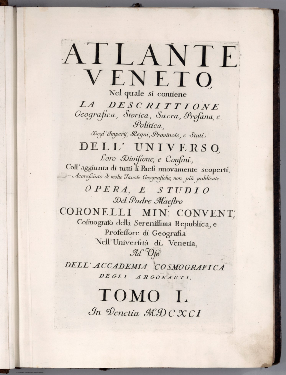 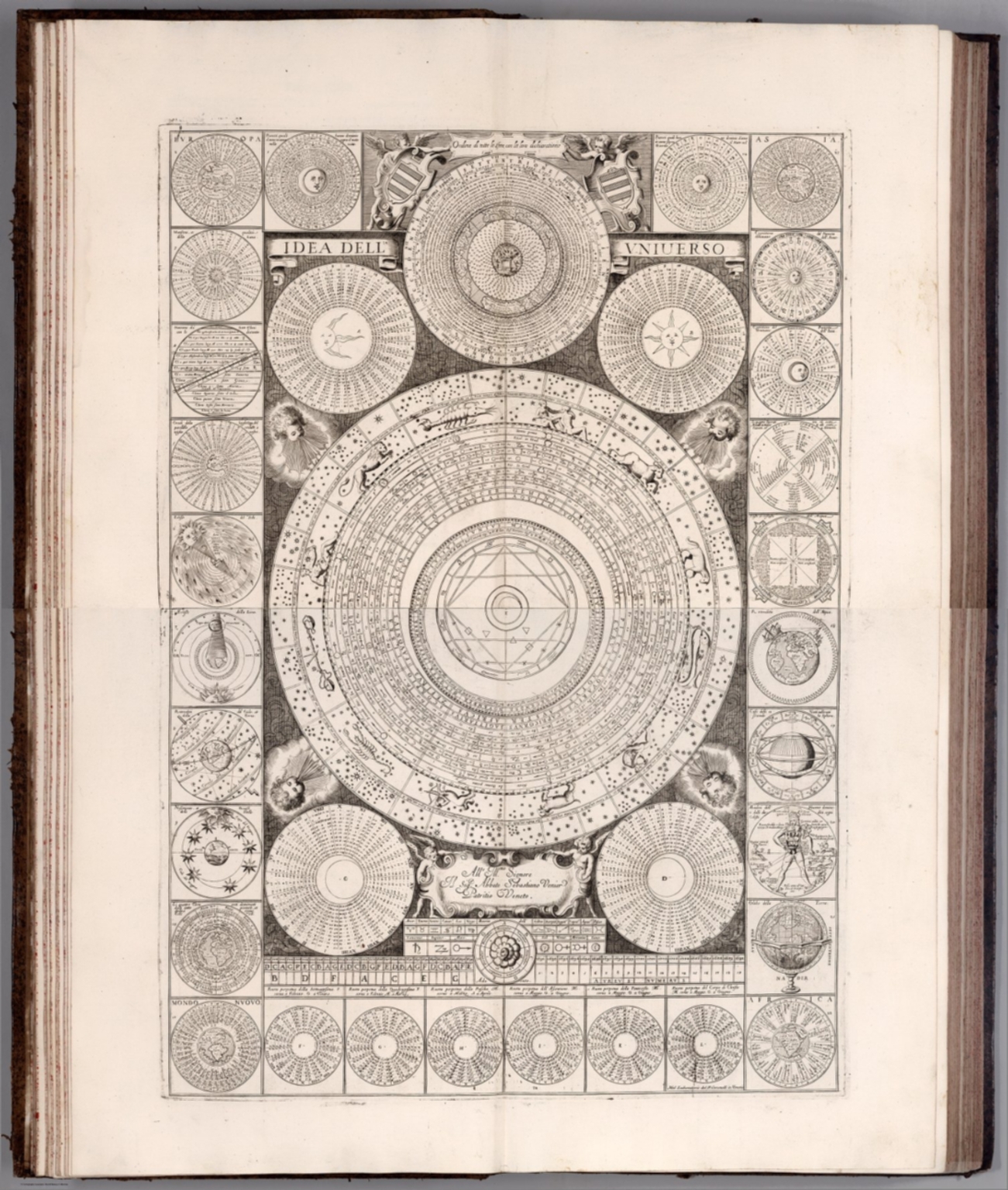 |
Atlante Veneto, Nel quale si contiene la Descrittione Geografica, Storica, Sacra, Profana, e Politica, Degl'Impery, Regni, Provincie, e Stati, Dell'Universo ... Accresciuto di molte Tavole Geografiche, non piu publicate. Opera, e Studio Del Padre Maestro Coronelli Min: Convent ... Nell' Universita di Venetia, Ad Uso Dell' Accademia Cosmografica de gli Argonauti. Tomo I. In Venetia MDCXCI. 1693. |
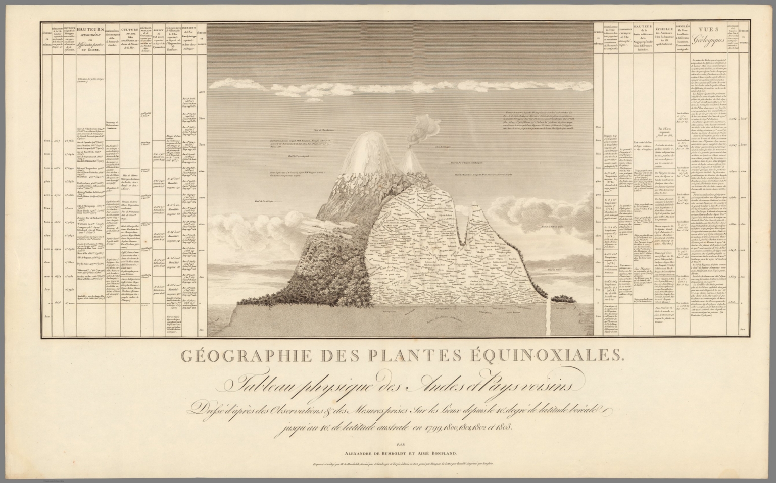 |
Geographie des Plantes Equinoxiales. Tableau Physique des Andes et Pays voisins, dresse d'apres des observations et des mesures prises sur les lieux depuis le 10(degree) degre de latitude boreale jusquau 10(degree) de latitude australe en 1799, 1800, 1801, 1802 et 1803. Par Alexandre de Humboldt et Aime Bonpland. Esquisse et redige par M. de Humboldt dessine par Schonberger et Turpin a paris en 1805, grave par Bouquet, la lettre par Beauble, imprime par Langlois. 1805. |
- Recent Additions
- March 13, 2012
March 13, 2012 - 1,596 New Maps Added
1,596 new maps and images have been added to the David Rumsey Map Collection, bringing the online collection to 30,599 maps and images. Included in this addition is Bowles' 1733 Geography Epitomiz'd, an early example of information visualization; Abraham Bradley's 1805 Post Road Map of the United States; Aaron Arrowsmith's General Atlas of 1817; a group of U.S. Mexican War broadsides and maps; Mitchell's 1855 Universal Atlas; a group of 214 individual maps, charts, broadsides, ephemera, and manuscript maps, several of which are listed separately below; Sonnenschein and Allen's 1880 3D Royal Relief Atlas; Erwin Raisz' 1944 Atlas of Global Geography and 1964 Atlas of Florida; and Richard Harrison's important 1944 Fortune Atlas for World Strategy. All titles may be found by clicking on the View links or images below. Or click here to view all 1,596 new maps and images.
 |
Geography Epitomiz'd. Of The Stars And Planets. Of The Sun And Moon. Of the Air and Meteors. The Terms of Geography Explain'd., 1733 |
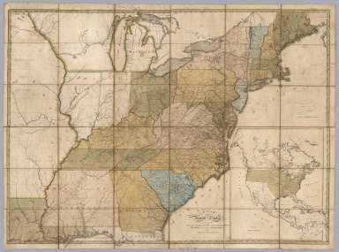 |
Map of the United States, Exhibiting the Post-Roads, the situations, connexions and distances of the Post-Offices, Stage Roads, Counties & Principal Rivers, 1805 |
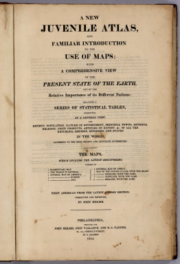 |
A New Juvenile Atlas, And Familiar Introduction To The Use Of Maps: With A Comprehensive View Of The Present State Of The Earth, 1814 |
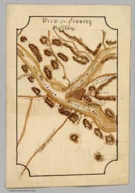 |
Eight manuscript maps: New York, Connecticut, New Hampshire, Delaware, Vermont, View of the Country ‘Round Pittsburg, View of the Country ‘Round Zanesville, East End of Lake Ontario, 1816 |
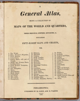 |
A General Atlas, Being A Collection Of Maps Of The World And Quarters, Their Principal Empires, Kingdoms, &c. Containing Fifty Eight Maps And Charts, 1816 |
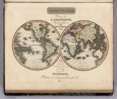 |
A New General Atlas, Constructed from the latest Authorities, By A. Arrowsmith, Hydrographer to the Prince Regent, Exhibiting The Boundaries And Divisions, Also The Chains of Mountains and other Geographical Features Of All The Known Countries In The World, 1817 |
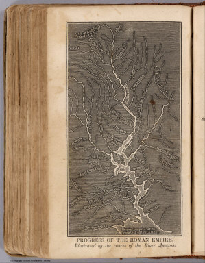 |
Ancient Geography, As Connected With Chronology, And Preparatory to the Study of Ancient History By Emma Willard (with) A System of Universal Geography, On The Principles of Comparison and Classification; By William Channing Woodbridge ... Illustrated With Maps and Engravings; And Accompanied by an Atlas, 1824 |
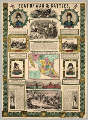 |
Twelve Broadsides and Maps Illustrating The U.S. Mexican War, 1846 to 1855 |
 |
A New Map Of California, 1852 |
 |
A New Universal Atlas Containing Maps of the various Empires, Kingdoms, States and Republics Of The World. With a special map of each of the United States, Plans of Cities &c. Comprehended in seventy five sheets and forming a series of One Hundred And Twenty Nine Maps, Plans And Sections, 1855 |
 |
Thirty Maritime Charts, 1800 to 1907 |
|
|
Thirty Seven Maps to Accompany the Reports of the General Land Office, 1951 to 1876 |
|
|
Ten United States County Atlases, 1862 to 1885 |
|
|
Two Editions of Johnson's New Illustrated (Steel Plate) Family Atlas, With Physical Geography, And With Descriptions Geographical, Statistical, And Historical, 1864 and 1870 |
|
|
Illustrated Atlas Of The City Of Richmond, Va., 1876 |
|
|
Royal Relief Atlas of All Parts of the World. Consisting of 31 Maps, With Physical, Political, and Statistical Descriptions facing each Map, 1880 |
|
|
Department of the Interior, Census Office. Sixteen Maps Accompanying Report On Forest Trees Of North America, 1884 |
|
|
Atlas of Global Geography. 1944 |
|
|
Look At The World: The Fortune Atlas For World Strategy, 1944 |
|
|
Atlas of Florida, 1964 |
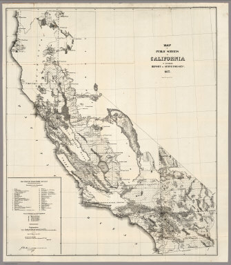

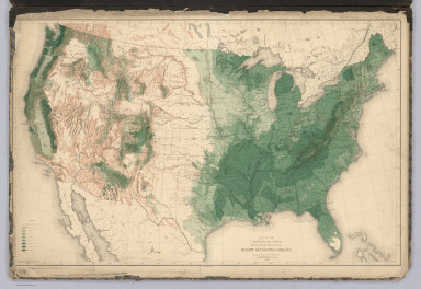
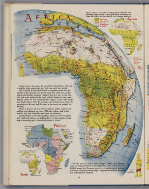
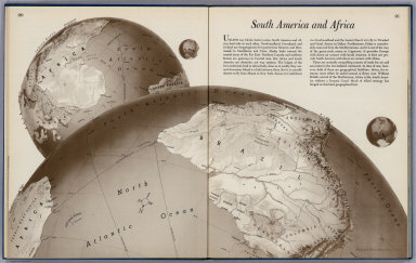
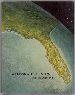
- Recent Additions
- June 24, 2012
June 24, 2012 - 1,828 New Maps Added
1,828 new maps and images have been added to the David Rumsey Map Collection, bringing the online collection to 32,413 maps and images. Included in this addition are early Yosemite guide books; the Allgemeiner Schulatlas, 1825, a remarkable German school atlas; 216 Maps and Images from Pocket Maps, 1825 - 1920; 12 U.S. County Atlases, 1864 - 1890; The Times Atlas of the World Mid-Century Edition, 1959; Atlas of the United States Printed for the Use of the Blind, 1837; 30 U.S. Civil War maps from Histoire de la Guerre Civile en Amerique, 1883; Adams' Synchronological Chart of Universal History, 1881; and 140 Separate, Broadside, Real Estate, and Manuscript Maps, 1776 - 1944. All titles may be found by clicking on the View links or images below. Or click here to view all 1,826 new maps and images.
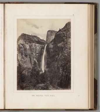 |
Maps and Photographs from the Yosemite Guide Books, 1868 - 1874 |
 |
Allgemeiner Schulatlas, 1825 |
 |
216 Maps and Images from Pocket Maps, 1825 - 1920 |
 |
12 U.S. County Atlases, 1864 - 1890 |
 |
The Times Atlas of the World. Mid-Century Edition, 1959 |
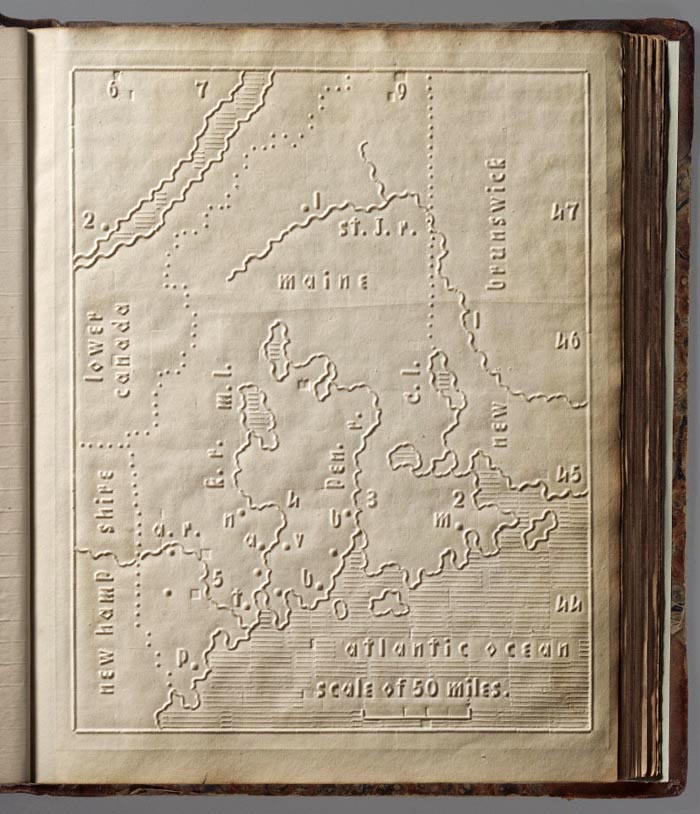 |
Atlas of the United States Printed for the Use of the Blind, 1837 |
 |
Maps of U.S. States and Territories, 1876 - 1944 |
 |
The Peoples' Pictorial Atlas. Being A Complete And Popular Account Of All The Countries Of The World, In Their Geographical, Statistical, Topographical And Commercial Aspects, 1873 |
 |
A General Atlas, Containing Maps illustrating some important periods in Ancient History; and distinct Maps of the several Empires, Kingdoms and States In The World, From Original Drawings according to the latest Treaties, 1824 |
 |
A New Universal Atlas Containing Maps of the various Empires, Kingdoms, States and Republics Of The World. With a special map of each of the United States, Plans of Cities &c. Comprehended in seventy five sheets and forming a series of One Hundred And Twenty Two Maps, Plans And Sections, 1853 |
 |
(Six Ethnographic Maps to Accompany the Natural History of Man). Second Edition, 1867 |
|
|
Mitchell's New Atlas Of The United States And Territories, Together With Plans Of The Principal Cities. Designed To Accompany And Illustrate The Centennial Gazetteer Of The United States, 1874 |
|
|
(Atlas volume only to accompany the) Histoire de la Guerre Civile en Amerique par M. Le Comte de Paris, Ancien Aide de Camp du General Mac Clellan, 1883 |
|
|
Adams' Synchronological Chart of Universal History. Through the Eye to the Mind. A Chronological chart of Ancient, Modern and Biblical History, Synchronized by Sebastian C. Adams. Third Edition and Twelfth-Thousand carefully and critically revised and brought down to 1878, (1881) |
|
|
Uebersichts-Karte der Eisenbahnen Deutschlands bearbeitet im Reichs-Eisenbahn-Amt. 1893 This map relates to our Karte des Deutschen Reiches, 1893 |
|
|
140 Separate, Broadside, Real Estate, and Manuscript Maps, 1776 - 1944 |
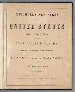


- News
- September 21, 2023
John Hessler – In Conversation with David Rumsey
David Rumsey is one of the most important map collectors of the last half century. He has thought deeply about the importance the history of cartography and has brought together a collection that spans the history of mapmaking. Critically, he has also embraced the technological revolutions that have changed the science and practice of cartography since the 1960s. David’s collection is part of the special collections library at Stanford University and can be accessed at the David Rumsey Map Collection. https:// www.davidrumsey.com/
I spoke with David about what got him started in map collecting, why he thinks historic maps are important and about the role technology plays in making all this analog geospatial information accessible. We also talked about his early years at Yale and his thoughts about the future of data visualization and its relation to cartography.
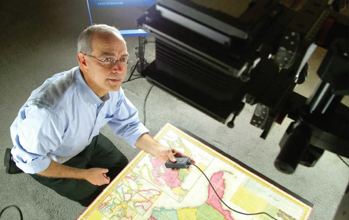
-
Hessler: You built one of the premier and most comprehensive private map collections in the modern era, spanning large chunks of geographic space and historical time. It is a project that took decades of effort and thought. What started you down this road?
Rumsey: I was drawn to maps from the earliest age I can remember. National Geographic maps decorated my walls growing up. My brain enjoys the way text flows on maps in all directions. The two-dimensional transformation of three-dimensional space excites my imagination. About 45 years ago, when I became old enough to appreciate history, I discovered that out-of- date maps revealed the past visually. After assembling a big pile of maps, I realized I had a problem: how to organize the trove and what did the maps mean as a group of things. The atlases I collected helped me here: they gave me a model of how maps can be sequenced and create meaning together.
So my collection was born. It grew rapidly as I created a network of pre-Internet dealer friends able to help build it. I was lucky that my first love were the 19th century maps that most dealers considered (in 1980) to be modern, not antiquarian. They happily off-loaded them to me at very reasonable prices. From there I expanded in both directions of time, to where my collection is now, running from about 1500 to the present. When you start collecting, you don’t know you are collecting. It is only later, when you are deep into it, that you realize you are building something that takes on a life of its own. Today I think of the collection as my poem, an integrated work that can be read by anyone, anywhere, in any direction because it is also an online digital database
-
Hessler: During your time at Yale in the 1960s you were one of the founding members of Pulsa—an extremely influential group of artists that combined sound, light and new technology to produce innovative immersive art. The group also sponsored some really original seminars on subjects that combined technology and creative practice that are still relevant today like, “Artificial Intelligence and the Environment”. Tell us a little about that experience and if the aesthetics of that kind of multidisciplinary work informs your thinking about maps.
Rumsey: Pulsa was an all-encompassing part of my life from 1966, when I co-founded it, to 1973, when we broke up. Pulsa comprised seven members from art and technology backgrounds. It grew well beyond its initial purpose of making art to explore a new way of living, communally, and embracing new utopian dreams. All this was during a time of war and civil strife. We saw in technology an opening to make art that celebrated human activities and potential instead of technology used to wage war and inflame violence. Pulsa created large light and sound public environments. The sculpture garden at New York MOMA, the Boston Public Garden, Yale Golf Course, Walker Art Museum, California Institute of the Arts, and Yale School of Art and Architecture were some of our venues.
Looking back at it today, I can see that it has affected my work with maps. Like maps, the Pulsa artworks were spatial in concept. The lessons I learned from engaging across disciplinary boundaries has made it easier for me to apply today’s technologies to historical maps. Maps themselves cross the boundaries of art and technology. The construction of my online database of 125,000 maps and related images has become an artwork itself— a collage of visual elements connected by pathways leading to unexpected places. Pulsa lives on in my work with maps in another crucial way. Our youthful idealism of open access to all art, with no barriers, informs my making the collection freely available via the Internet.
-
Hessler: This same period saw the birth of Geographic Information Science at places like Harvard’s Laboratory for Computer Graphics and Spatial Analysis and through Roger Tomlinson’s pioneering work. Many of those involved in the development of GIS had art and architectural backgrounds and sought innovative ways of combining design and newly developed computation and visualization methods. The hybrid nature of publications like the Harvard Papers in Theoretical Geography read much like those of Pulsa. Did you know of the innovations taking place in geographic analysis and digital mapmaking at the time?
Rumsey: I can’t say that we were explicitly aware of those developments, but we were close to the work of Georgy Kepes at the MIT Center for Advanced Visual Studies during the same period. I think Kepes would have been in touch Tomlinson and others working in early GIS. We were drawn to Kepes because of his work on the role of art in the environment. We contributed an essay “The City as Artwork” to his edited volume Arts of the Environment. In our essay we posited the idea of the city as a group of complete systems of energy, movement, light, sound, and other layers that was close to early GIS concepts. Pulsa’s art was often about making those systems visible, much as GIS does today.
-
Hessler: You are well known in map circles for combining technology with historical cartography. Nowhere is this more evident than at the Rumsey Map Center at Stanford, an online presence for historical cartography that is used across many disciplines in the sciences and humanities. What role do you think historical cartography plays in the age of GIS?
Rumsey: Because GIS increasingly embraces time as part of its capabilities, historical cartography can play an important role in showing change in the environment and human activities over time. Old paper maps can be integrated with GIS easily and are an unparalleled primary source of data. And as we look ahead to the next 50 years, maps created digitally in GIS will themselves become historical and move into the canon. Libraries need to assemble and preserve these resources. We are doing this at the Rumsey Map Center and at Stanford Libraries generally though several initiatives, such as EarthWorks. Soon we will be releasing a new searching capability for 57,000 of my maps. It allows searching maps by toponyms and text on the maps. This pulls the data off the maps and stores it in GeoJSON files—100 million of them. It’s part of a larger effort at Stanford Libraries to generate and preserve humanities data. Historical cartography has for too long been seen by humanists and scientists as “ephemera,” second-rank source material at best. Using AI, we can pull that data off the maps and in so doing will open them up as primary sources of information found nowhere else.
-
Hessler: In recent years you have become interested in data visualization and its connection to cartography. This is something that has become very important today as GIS has expanded and the ability to analyze large amounts of data has become commonplace in areas like public policy and health. What interests you about data visualization and more broadly the history of thematic cartography?
Rumsey: I see diagrams of data visualization as maps even if they do not have explicitly spatial aspects. Like maps, they show relationships between expressions of data with juxtapositions that promote imagination. Thematic cartography interested me from the beginning of my collecting, starting with Heinrich Berghaus’ Physikalischer Atlas of 1844. I was amazed at how powerfully he combined diagrams and charts with maps and views. Data visualization today is increasingly the best and only way to comprehend huge statistical databases generated by our omnipresent sensors. Looking at how Charles Minard in 19th century France and countless others solved visualizing these flows is powerfully helpful to todays’ data designers. At the Rumsey Map Center, we are always showing Stanford data designers that visualizations have been done before. There is much they can learn from this inspired and often ingenious work. I think of my own map database as a large-scale data visualization that allows one to easily travel though the history of cartography over five centuries. From that perspective one can derive mental and physical models of mapping methods, techniques, artistry, and regional characteristics as they change over time.
-
Hessler: Over the decades you have obviously thought deeply about maps and their history. What philosophical ideas or thinkers from outside cartography proper inform your ideas about maps, design, and art in general?
Rumsey: I was fortunate to study photography with Walker Evans at Yale. He encouraged a very mappish view of the work in photography—shoot pictures straight on, record the place and time on the verso, avoid artiness at all costs. He helped me to see art in places and media that I would have missed. Buckminster Fuller, although he made maps too, was a very big influence in my thinking about design in general. I built three of his domes and in so doing learned about how parts connect and support, and not just physically. Marshall McLuhan on media influenced all of us in the 60’s. Maps are the message—I learned that from him.
The poet Phillip Levine wrote spatially—at least that is how I experience it—and I think my idea of my database as a poem comes from him in a roundabout way. His poem “What Work Is” remains an inspiration. The photographic and video collages of David Hockney influence my methods of working with map database thumb- nails and with my being drawn to large series maps such as the 674 sheet Karte des Deutschen Reiches 1893. I think the power of cartography is that it can draw from so many sources in our cultures, almost uniquely so as a medium.
-
Hessler: The practice of mapmaking has gone through a revolution in the last few decades with the ability to create maps using GIS and other digital and online tools becoming readily available. This fact has made map collecting a much more difficult task. Is it even possible to collect and preserve the many important and innovative purely digital maps being created today?
Rumsey: Yes, it is possible, and we must do it. One of my goals for the Rumsey Map Center in the next five years is to partner with Stanford Libraries to develop tools of emulation and preservation that can hold complex digital map objects in a way that ensures they can be experienced as originally intended. Not easy to do. But we must do it. The beauty and power of our purely digital maps requires it. Future generations of map readers and users would be astonished and disappointed if we don’t do it. What if these maps suffer the same fate as early films, only a fraction of which survive? Especially at this moment, an inflection point in the earth’s response to global climate change, ensuring future access to these maps is a crucial responsibility. In my own collecting I have been able to add Web Maps, but it has not been easy. It requires yearly updates to support them. But the good news is that digital maps by their nature are not rare, so acquisition is easy and resources that might have been used for rarities can be used for preservation.
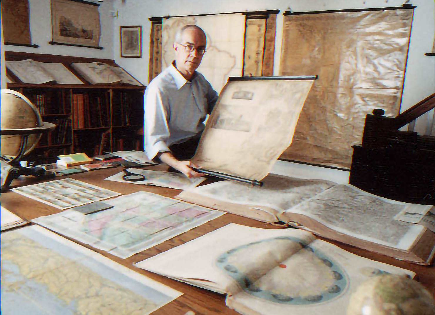
John Hessler is an applied mathematician, computer scientist, and lecturer in the Odyssey Program at Johns Hopkins University. He is the founder and director of the biomap- lab, where they are developing new statistical and computational tools for mapping and visualizing the dynamics of far from equilibrium spatial processes, like the spread of pandemics. Their current computational research centers on retrospectively mapping the spatial phylodynamics and complex transmission pathways of the 2014–2016 Ebola virus outbreak in West Africa, and on studying the geographic distribution and genomic changes in the earliest cases of SARS-CoV-2. Photos courtesy of David Rumsey.
This article appeared in The Portolan - Journal of the Washington Map Society, Issue 117, 2023
- Recent Additions
- April 12, 2010
April 12, 2010 - 764 New Maps Added
Below are highlights from 764 new maps and images recently added to the David Rumsey Collection. Included are John Cary's 1790 Survey of the High Roads From London - an early use of strip road maps, the Atlas Classique De La Geographie - an 1839 teaching atlas by C.V. Monin with Monin's version of the classic Mountains and Rivers plate by Bulla, and Rand McNally's monumental 1924 Commercial Atlas Of America, with some of the most detailed early highway maps of the U.S. along with extensive railroad coverage at a time when the new highway system was beginning to challenge railroads as the most important transportation network in America. Also included are over 240 separate wall maps, case maps, pocket maps, or charts which are distinguished by their large physical size (often over 8 feet in the long dimension), requiring special photographic and software processes to create accurate digital images, resulting in very large digital files - but large map images can be examined and explored as easily as smaller map images, using zooming and panning features, and the amount of cartographic information in the larger maps is much greater. Highlights of this group of maps include Rand McNally's massive thirteen sheet Shippers' Railroad Map of the United States 1891 (12x20 feet, over 10GB file size), nine issues of Mitchell's Reference and Distance Map of the United States from 1834 to 1846 (group shown includes a tenth issue already online), Joseph Scheda's 20 sheet richly detailed map of the Austrian Empire in Central Europe in 1856 (5GB file size), and more. All titles may be found by clicking on the View links or images below. Or click here to view all 764 new maps.
 |
Early Wall and Case Maps of the United States, 1796 to 1833 |
 |
Cary's Survey of the High Roads From London, 1790
|
 |
Map of Pennsylvania, 1822 |
 |
Atlas Classique De La Geographie, 1839 |
 |
United States Of America, 1830, 1832, 1834 |
 |
Nine Editions of Mitchell's Reference & Distance Map of the United States, 1834 - 1846 |
 |
Map of the United States Of North America, 1842 |
 |
Stream Of Time, Or Chart Of Universal History, From The Original German Of Strass. Revised By D. Haskel, 1842 |
 |
Maps of the State of Maine, 1844 - 1862
|
 |
General - Karte Des Oesterreichischen Kaiserstaates, 1856 |
 |
Map of The World On Mercator's Projection, 1847 and 1857 |
 |
The Cottage Ornament, 1856 |
 |
Map Of The Vicinity Of Philadelphia, 1860 |
 |
The Washington Map Of The United States, 1861 and 1862 |
 |
Atlas Universel De Geographie Physique, Politique, Ancienne Et Moderne, 1875 |
 |
Historical Map Of The United States Showing Early Spanish, French & English Discoveries And Explorations Also Forts, Towns & Battle Fields Of Historic Interest, 1876 |
 |
Paris Et Ses Environs. Carte Geologique Detaillee. Carte Topographique De L'Etat Major, 1890 |
|
|
Rand, McNally & Co.'s New Shippers' Railroad Map of the United States, 1891 |
 |
Lines Of The Bell Telephone Companies. United States And Canada, 1910 |
 |
Andrews' Schoolroom Chart Of Geographical Illustrations, 1915 |
 |
Rand McNally Commercial Atlas of America, 1924 |
 |
The Histomap. Four Thousand Years Of World History. Relative Power Of Contemporary States, Nations And Empires, 1925 |

- Recent Additions
- April 4, 2015
April 4, 2015 - 15,342 New Maps Added
15,342 new maps and images have been added to the David Rumsey Map Collection, bringing the online collection to 58,078 maps and related images. Highlights in this addition are over 2,000 Pictorial Maps; the Claes Janszoon Visscher 1611 Leo Belgicus map; the 1570 and 1608 editions of the Ortelius Theatrum Orbis Terrarum; a massive group of German Invasion plans for England, Wales, and Ireland in WW II; 1682 Map of the areas around Mexico City; 2 important early atlases of Swiss Topography; Seutter's 1744 Atlas Minor; Harriet E. Baker's extraordinary 1819 Book of Penmanship; 1886 Imperial Federation Map of the British Empire; Henry Wellge's beautiful panoramic view of Yellowstone National Park 1904; a 1912 wall map of rebuilt San Francisco, The Exposition City; Perry's extraordinary mining map of West Kootenay, 1893; Harry Beck's groundbreaking London Underground map 1933 along with Moholy-Nagy's nod to Beck in his 1937 Imperial Airways Map; 3 Atlases by the U.S. Central Intelligence Agency; Landform maps by Irwin Raisz; Bertelli's 1568 World Map; a group of Timelines and an unusual map of Evolution by the author of the Histomap. All titles may be found by clicking on the View links or images below. Or click here to view all 15,342 new maps and images.
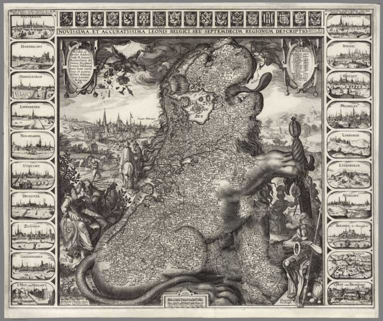 |
Novissima, et Accuratissima Leonis Belgici, Seu Septemdecim Regionum Descriptio. 1611 |
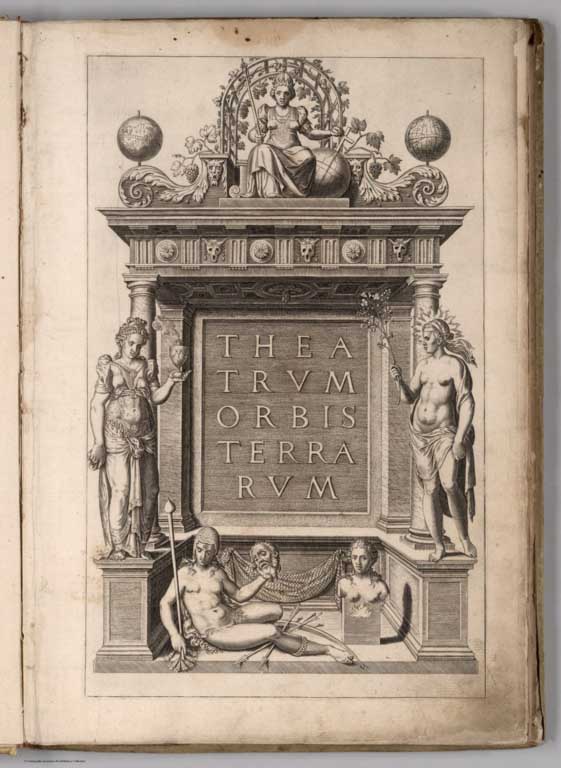 |
Theatrum Orbis Terrarum. 1570 |
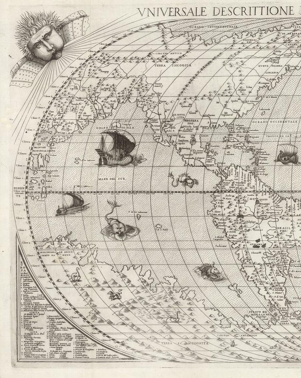 |
Universale Descrittione Di Tutta la Terra Conosciuta Fin Qui. 1568 |
|
|
Theatro Del Mondo Di Abrahamo Ortelio: Da lui poco inanzi la sua morte riveduto, & di tavole nuove, et commenti adorno, & arricchito con la vita dell'Autore. Traslato in Lingua Toscana dal Sigr. Filippo Pigafetta. In Anversa, Appresso Giovanni Bapta. Vrintio, M.DC.VIII. 1608 |
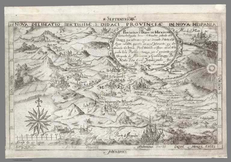 |
Provincia d[e] S. Diego de Mexico en la nueba Espana, 1682 |
|
|
(German Invasion Plans for England, Wales, and Ireland in WW II). Militargeographische Einzelandgaben uber England. Militargeographische Objektkarten mit Objektbilden 1, The Border, Inhaltsangabe umseitig. Generalstab des Heeres, (Military High Command). Abtellung fur Kriegskrten und Vermessungswesen (IV. Mil.-Geo.), Berlin 1940-1942 |
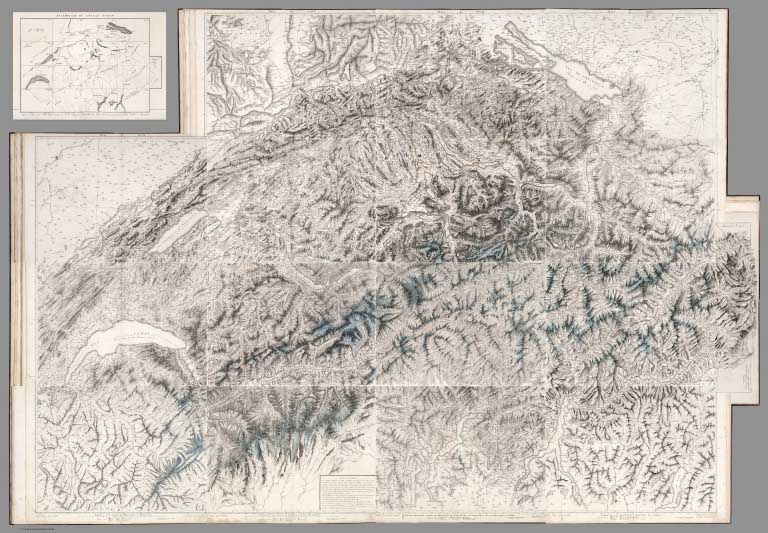 |
Atlas Suisse. 1802 |
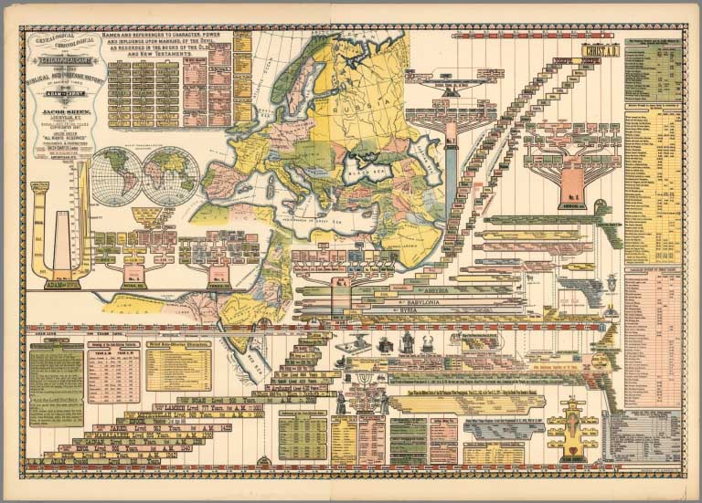 |
Three Timelines, 1806, 1813, and 1887 |
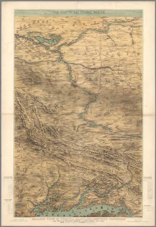 |
War Map of the Middle States : Balloon View of Virginia, Maryland, Kentucky, Tennessee and parts of Arkansas, Missouri, Illinois, Indiana and Ohio. 1861 |
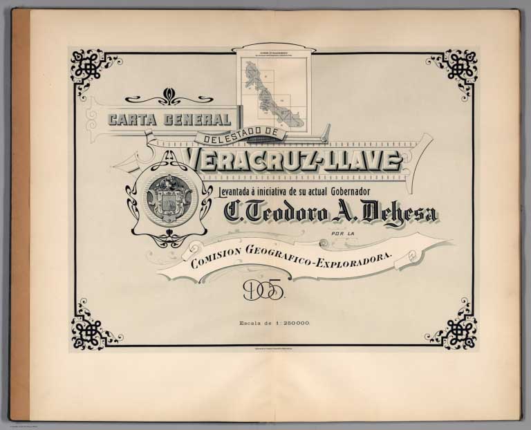 |
Carta General del Estado de Veracruz-Llave. Index Map: Diagrama de Relacionamiento. 1905 |
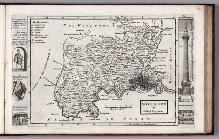 |
A set of fifty new and correct maps of the counties of England and Wales, &c. with the great roads and principal cross-roads, &c. 1724 |
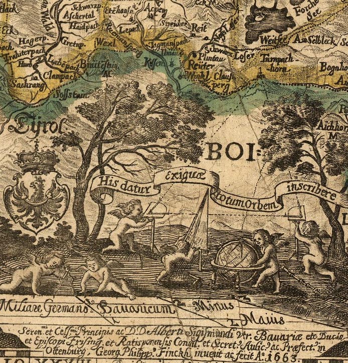 |
(Map of Bavaria, Germany) Sacri Romani imperii circuli et electoratus Bavariæ tabula chorographica. 1663 |
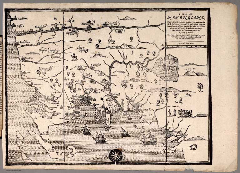 |
A Narrative of the Troubles with the Indians in New-England, from ... 1607 to this present year 1677. |
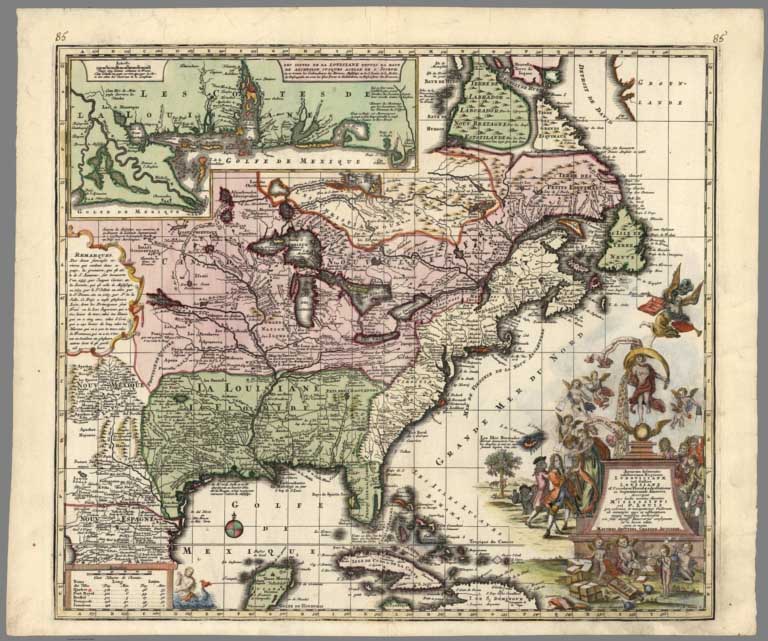 |
Accurata delineatio celeberrimae Regionis Ludovicianae vel Gallice Louisiane, 1720 |
|
|
Atlas minor praecipua orbis terrarum imperia, Regna et Provincias, Germaniae Potissimum, tabellis 50 exacte declineatis sistens usui militiae ducum ac peregrinantium maxime accomodatus opera Matthaei Seutteri, Sac. Caes. Maj. Geogr. Aug. Vind. Jacob Christoph Weyerman ... 1744 |
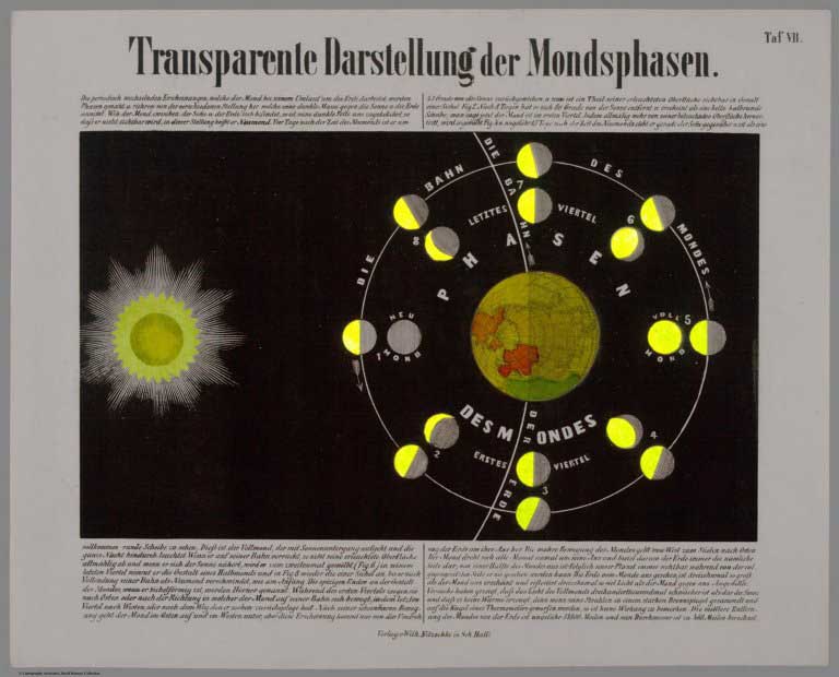 |
Astronomischen Bilderatlas von Ludwig Prentzinger … Schwaeb. Hall. Druck und Berlag von Wilhelm Nitzschke. (Astronomical Images Atlas of Ludwig Prentzinger ... Schwäb. Hall. Printed and Published by William Nitzschke), 1855. |
 |
(Facsimile) Rocque's Map of London. 1746. Original map titled "A plan of the cities of London and Westminster, and borough of Southwark." (1746) 1919 |
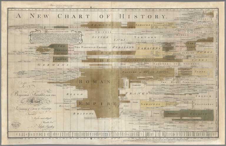 |
A New Chart of History, 1769 |
|
|
An account of the trigonometrical operation, whereby the distance between the meridians of the observatories of Greenwich and Paris has been determined By Major-General William Roy, F.R.S. and A.S. From the Philosophical Transactions, 1790 (with) An account of the trigonometrical survey carried on in the years 1791, 1792, 1793, and 1794...1795, 1796 (with) An account of the trigonometrical survey : carried on by order of the Master-General of his Majesty's Ordnance, in the years 1800, 1801, 1803, 1804, 1805, 1806, 1807, 1808, and 1809. |
|
|
Allgemeiner Hand-Atlas der Ganzen Erde nach den besten astronomischen Bestimmungen, und zu A.C. Gaspari vollstaendigem Handbuche der neuesten Erdbeschreibung bestimmt. Weimar Im Vertage des Geographischen Instituts. 9. 1821 |
|
|
A Group of 10 School Atlases, Some Printed, Some Manuscript, 1799 to 1948 |
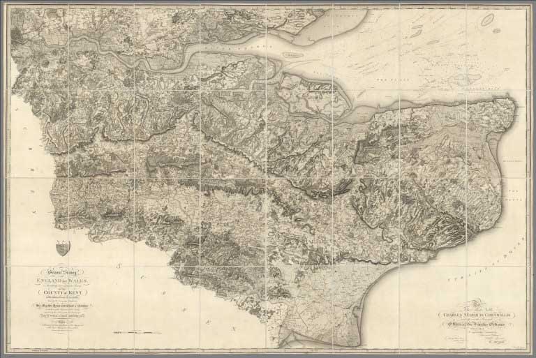 |
Four Early Maps of the British Ordnance Survey, Two of Kent, and One Each of Devon and Dorset, 1801 to 1811. |
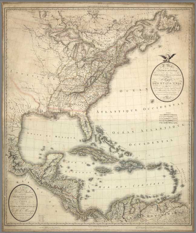 |
A Map of the United States, Canada, New-Scotland, New-Brunswick and New-Foundland ... Carte Des Etats - Unis, Avec Le Canada, la Nouvelle Ecosse, le Nouveau Brunswick & Terre - Neuve. A Map of the West-Indies and the Mexican Gulph (Gulf) ...Carte Des Indes Occientale et du Golfe du Mexique... Dressee par Lapie, Capitaine-Ingenieur- Geographe. Publiee par P.A.F. Tardieu, Gravveur, Editeur-proprietaire , a Paris, Chez P.A.F. Tardieu. 1806 |
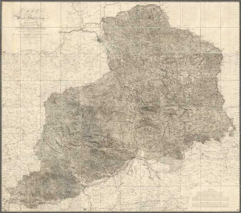 |
Carte von West-Gallizien, 1808 |
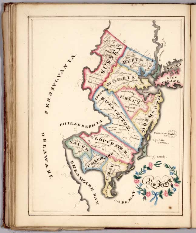 |
Harriet E. Baker's Book of Penmanship & Maps. At Mr. Dunham's School Windsor Vermont March 31, 1819 |
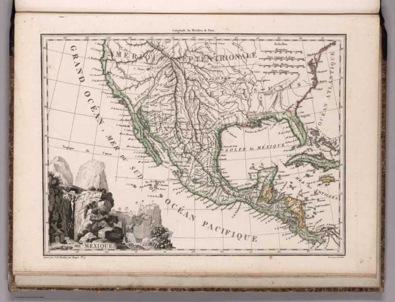 |
Atlas Complet Du Precis De La Geographie Universelle De M. Malte-Brun; Dresse Conformement Au Texte De Cet Ouvrage Et Sous Les Yeux De L'Auteur, Par M. Lapie, Capitaine Ingenieur Geographe, 1812. |
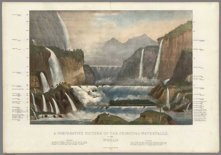 |
Four Mountains and Rivers Maps, 1820 - 1870 See all the Mountain and Rivers maps in the collection. |
|
|
Relief pittoresque du sol classique de la Suisse, dessine d'apres nature et grave a l'eau forte par Frederic Guillaume Delkeskamp, 1830 |
 |
Atlas von Europa nebst den Kolonien : fur Geschaftsmanner, Zeitungsleser und Besitzer des Conversations-Lexico ns in einer Folge von Charten und einem alphabetisch eingerichteten. 1825 |
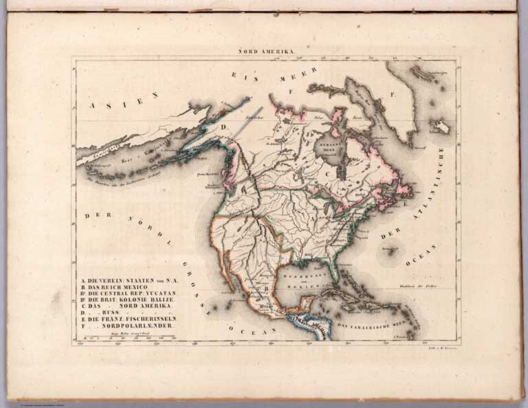 |
Atlas von Amerika in 30 Charten und einem erlauterndem Texte. Entworfen von W. E. A. von Schlieben ; die Charten lithographirt, Werner. Leipzig, bei George Joachim Goschen, 1830 |
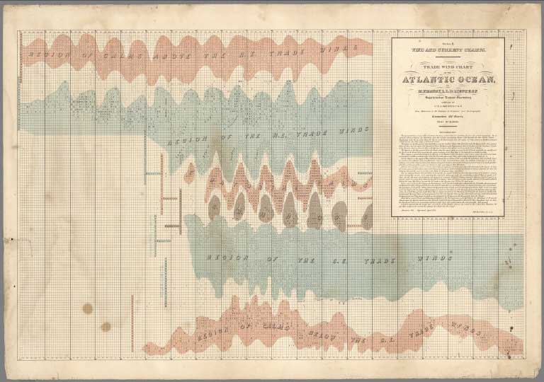 |
Twelve Nautical Chart Maps, 1831 - 1932 |
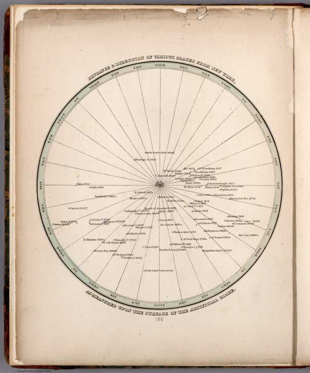 |
A Comprehensive Atlas, Geographical, Historical & Commercial, (two editions, both dates 1838). |
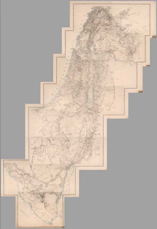 |
Atlas von Asien in Zwanzig Blaettern, Zu C. Ritter's Allgemeiner Erdkunde, II. Abtheilung, 1840, (with) Atlas von Palaestina und der Sinai Halbinsel, 1850. |
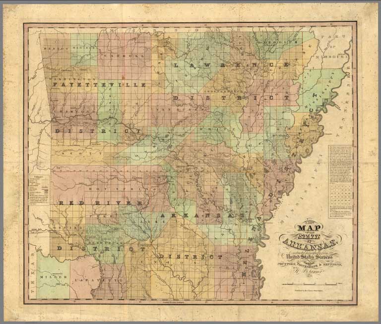 |
Three Different Copies of Tanner's Universal Atlas, 1833/1836, 1837, and 1842; A rare Map of Arkansas by Tanner, issued here as a pocket map but also appeared in Tanner's 1839 edition of the American Atlas. |
 |
Morse's Cerographic Atlases: The Bible Atlas, The Cerographic Atlas of the United States Published in Three parts in the New York Observer, The North American Atlas Published in Nine Parts, and the Missionary Atlas, 1833 to 1848. |
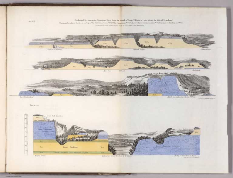 |
Report of a Geological Survey of Wisconsin, Iowa and Minnesota; and incidentally of a Portion of Nebraska Territory ...1852 |
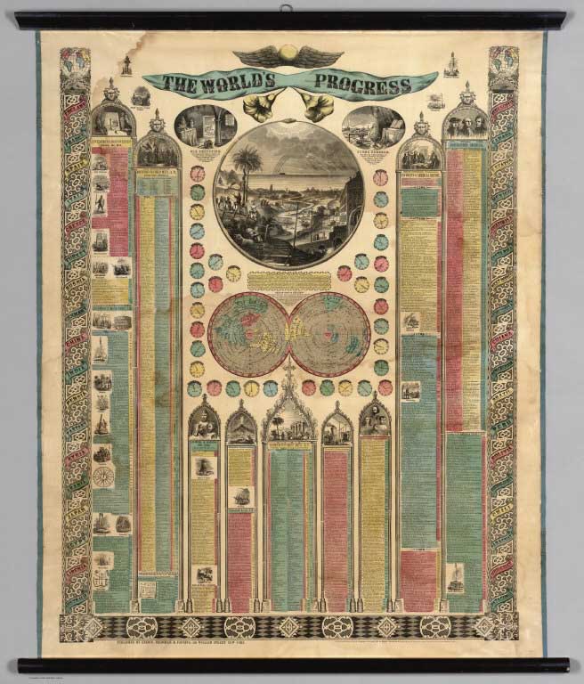 |
The World's in Progress, 1854 |
 |
Karte von Deutschland dem Konigr.. in XXV Blattern. Entworfen und herausgegeben von Adolf Stieler, Neue Auflage 1853 |
 |
Morse's General Atlas of the World. Containing Seventy Maps, Drawn And Engraved From The Latest And Best Authorities By Charles W. Morse. With Descriptions And Statistics Of All Nations To The Year 1856 |
|
|
Ordnance Survey. Treasury minute, dated 18 May 1855, and previous papers, relating to the Ordnance Survey. (with) Report on the Ordnance Survey of the United Kingdom for 1855-56. (with) Ordnance Trigonometrical Survey. Principal Triangulation, 1858. (with) Abstracts of the principal lines of spirit levelling in England and Wales, 1861. (with) Extension of the triangulation of the Ordnance Survey into France and Belgium, 1863. |
|
|
Diary of a Journey from the Mississippi to the Coasts of the Pacific With a United States Government Expedition. By Baldwin Mollhausen Topographical Draughtsman and Naturalist to the Expedition. With An Introduction by Alexander von Humboldt and Illustrations in Chromo-Lithography. Translated by Mrs. Percy Sinnett. In Two Volumes, 1858. |
|
|
A New Universal Atlas Containing Maps of the various Empires, Kingdoms, States and Republics Of The World, 1859. |
|
|
Lloyd's American railroad map of the United States, showing the three proposed roads and the overland mail route to the Pacific 1859. Drawn and engraved by Rae Smith, 71 Nassau St. N.Y. From materials furnished to the 36th Congress, March 1859 by G.K. Warren, Lt. U.S. Top. Eng. for the passage of the Pacific Railroad Bill, 1859. |
|
|
Map of the seat of war. Published by T.A. Burke, Morning News Office. Compiled & drawn by M.B. Grant C.E. Lithographed by R.H. Howell, Savannah, 1861. |
|
|
Panorama from the Summit of Mount Davidson, Washoe Range, 1861. |
|
|
(Raised Relief and Flat Maps of the World). Dessine et modele par Aug. Ravenstein a Francfort s/M. Grave. Imprime et estampe par B. Dondorf a Francfort. s/M. 1865 |
 |
Hand - Atlas Der Erde Und Des Himmels 42 Auflage, 1867, (with) Grosser Hand-Atlas des Himmels und der Erde 48te Auflage, 1879, (with) Grosser Hand-Atlas des Himmels und der Erde 49te Auflage, 1886 (3 new Editions added to collection) |
|
|
28 State, County and City Atlases, 1867 to 1915. New York and Vicinity 1867 (see all 5 copies); Bennington Co. Vermont 1869; Stephenson Co. Illinois 1871; Adams County Illinois 1872; Hudson Co. New Jersey 1873; Des Moines Co. Iowa 1873; Louisa Co. Iowa 1874; Ottawa Co. Ohio 1874; Elkhart Co. Indiana 1874; Oneida Co. New York 1874; Pike Co. Missouri 1875; Lehigh Co. Pennsylvania 1876; Greene Co. Pennsylvania 1876; Clarion Co. Pennsylvania 1877; Aroostook Co. Maine 1877; Miami Co. Indiana 1877;Franklin Co. Indiana 1882; Sedgwick Co. Kansas 1882; Providence, Rhode Island 1882; Wood Co. West Virginia 1886; State of Massachusetts, 1891; Scott Co. Iowa 1894; Jasper Co. Missouri 1895; Saint Croix Co. Wisconsin 1897; Trumbull Co. Ohio 1899; Dawson Co. Nebraska 1904; Douglas Co. Washington 1915. Province of Prince Edward Island, 1925. |
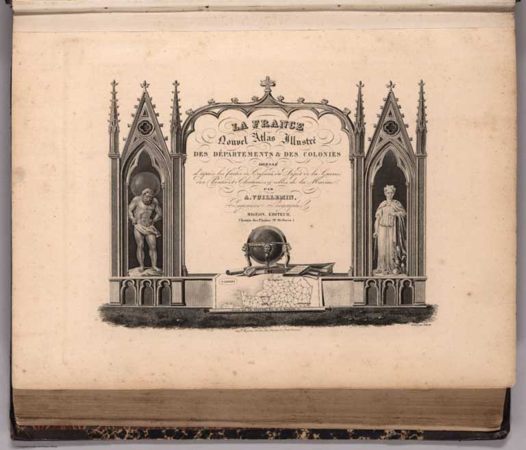 |
La France et ses Colonies. Atlas Illustre Cent Cartes Dressees d'Apres La Cartes de Cassini, du Depot de la Guerre, des Ponts-det-Chaussees et de la Marine par M. Vuillemin. Texte Redige d'Apres les Documents Officiels et sur n Plan Entierement Nouvea ... J. Migeon, Libraire-Editeur. 1869 |
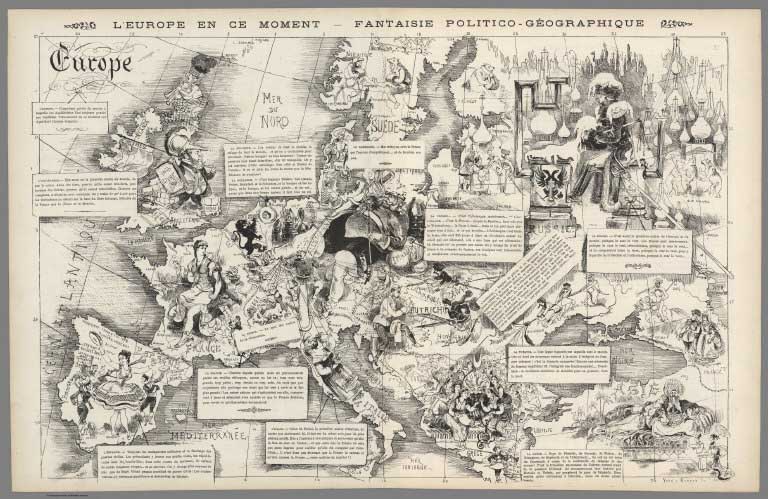 |
Europe "L'Europe en ce moment - fantaisie politico - geographique". (Issued with) La Vie Parisienne, 6 Juillet 1872 |
 |
Rand McNally & Co.'s sectional map of the Dakota and the Black Hills. Printed expressly for J. Bride & Co.'s Great American 25 Cent package, 767 and 769 Broadway, New York City. A.W. Barber, Del. Rand McNally & Co. Printers, engravers and electrotypers, 79 Madison Street, Chicago. (with 8 insets). (on verso) Rand McNally & Co.'s new railway guide map, 1873 |
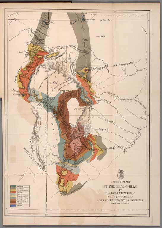 |
Report of a reconnaissance of the Black Hills of Dakota, made in the summer of 1874 (with) Report of a Reconnaissance From Carroll, Montana Territory, on the Upper Missouri, to the Yellowstone National Park, and Return Made in the Summer of 1875. |
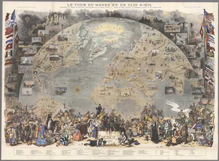 |
Le Tour de Monde en un Clin d'Oeil. Supplement du numero du Monde du la 1er. Janvier 1876 |
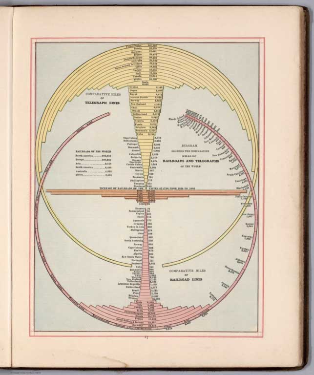 |
Cram's Standard American Atlas Of The United States, 1878 (with) Cram's Unrivaled Family Atlas of the World (editions of 1882 and 1883). |
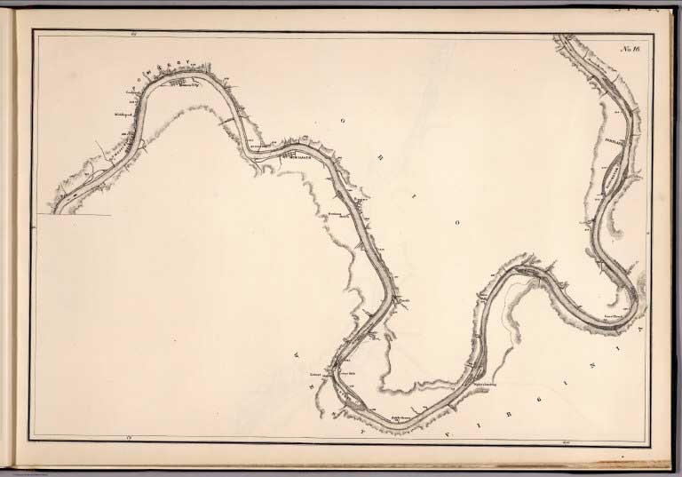 |
Map Of The Ohio River, Reduced from the following surveys ... 1837-8, Lieut. Sanders ... 1844, C.A. Fuller ... 1867-8, W.M. Roberts ... With additions & corrections from later surveys, 1881 |
 |
Tertiary History of the Grand Canon District With Atlas by Clarence E. Dutton, Captain of Ordnance U.S.A. United States Geological Survey, J.W. Powell, Director. Washington: Government Printing Office 1882. Department of the Interior. Monographs of the United States Geological Survey, Volume II. Washington: Government Printing Office 1882. |
|
|
Imperial Federation - Map of the world showing the extent of the British Empire in 1886 |
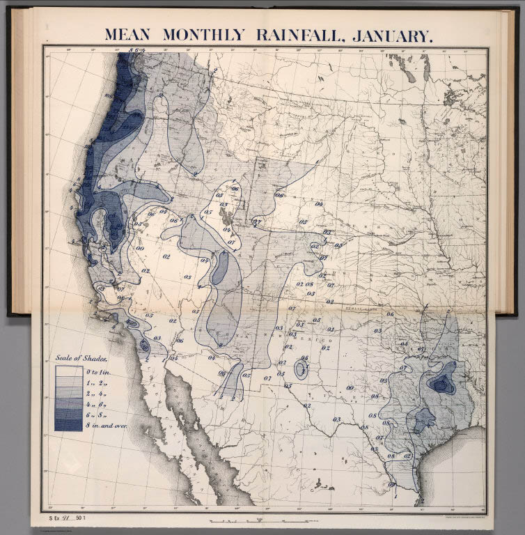 |
Charts and Tables of Rain-Fall On The Pacific Slope, With A Discussion of The Causes of The Wet and Dry Seasons, The Abundance and Deficiency in Different Portions, The Summer Rainy Season in Arizona, Etc., 1888 |
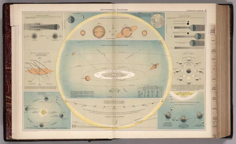 |
The Library Atlas Of Modern Geography, 1892 |
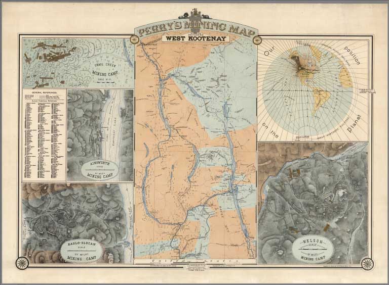 |
Perry's mining map of the southern dist. West Kootenay, 1893 |
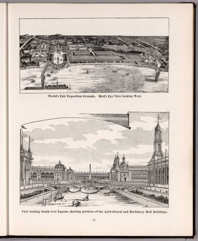 |
The Columbian World's Fair atlas : containing complete illustrations of the World's Fair grounds and buildings, general illustrations of the public buildings, parks, monuments, street scenes, etc. of Chicago, and maps of every state and territory of the United States and Canada, and general maps of the world. Published for: Wood Brothers Cash Store ... Unadilla, New York. 1893 |
 |
5 Large Composite maps of London, England and Wales, 1895 - 1947 |
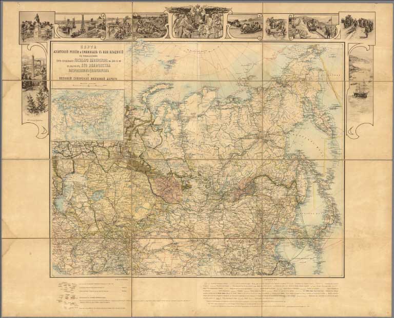 |
Karta Aziatskoi Rossii i smezhnykhi s neiu vladenii...(cover title in French) Carte de la Russie d'Asie et des pays limitrophes. (with inset and 11 views). 1896 |
 |
2 Maps of the Mexican National Railroad, 1897 and 1902 |
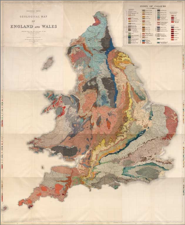 |
Geological Survey. Geological Map of England and Wales. Reduced from the one-inch maps of the Geological Survey with some recent revisions. Published under the direction of Sir Archibald Geikie, D.C.L., LL.D., F.R.S., Director General. 1896. |
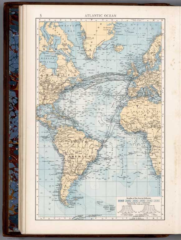 |
The Times Atlas ; (New Edition). Containing 132 Pages of Maps, and comprising 196 Maps, 1900 |
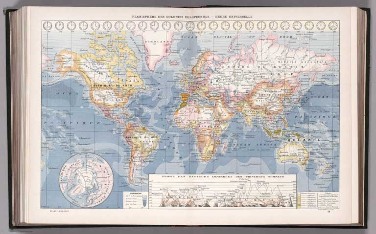 |
Atlas Larousse Illustre. Librairie Larousse, Paris. (first unillustrated title page) Atlas Larousse Illustre. 42 Cartes. - 1158 Reproductions photographiques, 1900 |
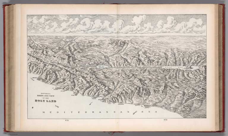 |
Cram's atlas of the world, ancient and modern : new census edition -- indexed. Geographical, historical and statistical presentation of the world in all its divisions. 1901 |
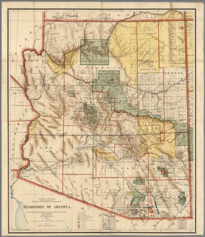 |
9 Maps of Western States and Territories by the U.S. General Land Office, 1898 to 1941 |
|
|
Der Ausbruch des Vulkans Mont Pelée auf Martinique, 1903 |
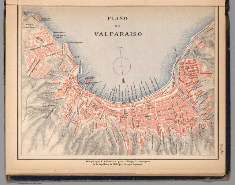 |
Atlas de Chile Arreglado para la Jeografia Descriptiva de la Republica de Chile, 1903 |
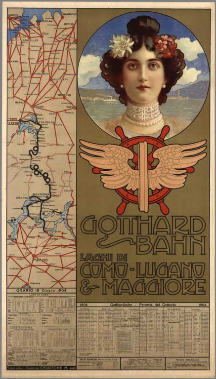 |
Gotthard-Bahn, Laghi di Como-Lugano & Maggiore, 1904. Gotthardbahn, Ferrovia del Gotthard. Stab. d'Arti Gradiche Chiattone; Milano, 1904 |
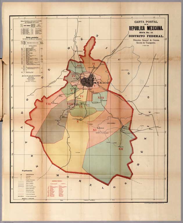 |
Cartas Postales de los Estados Unidos Mexicanos, 1904 (with) Cartas Postales de los Estados Unidos Mexicanos, 1908. |
 |
Yellowstone National Park. Copyright 1904 by Henry Wellge, Milwaukee. Transferred to the Northern Pacific Railway Company, 1904 |
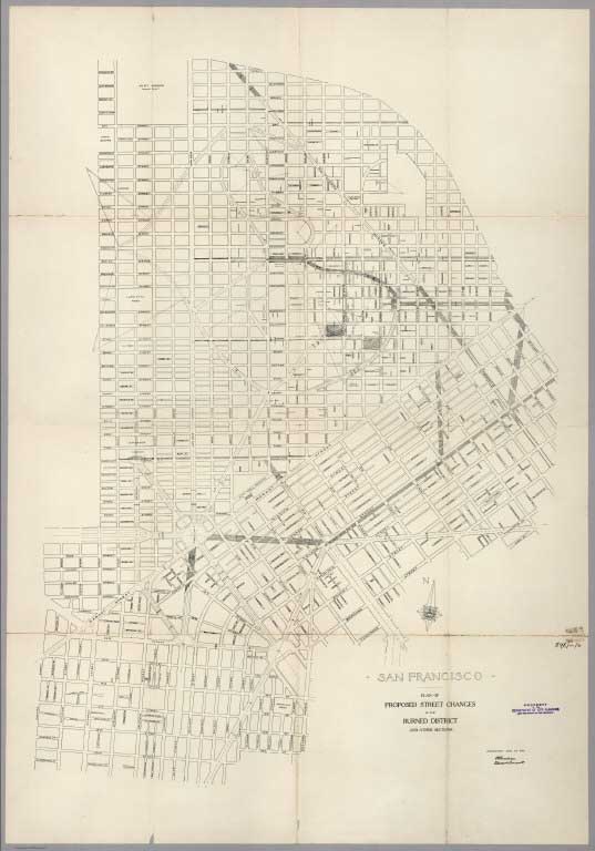 |
Plan of Proposed Street Changes in the Burned District and Other Sections of San Francisco. Joint Report of Committee on Extending, Widening and Grading Streets and Committee on Burnham Plans. Subcommittees of the Committee of Forty, on the Reconstruction of San Francisco. Submitted to Board of Supervisors May, 1906 |
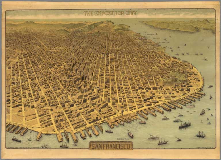 |
The Exposition City San Francisco. Copyright By North American Press Ass'n 1912 Hearst Bldg. S.F. Pingree-Traung Co. Lith. S.F. 1912 |
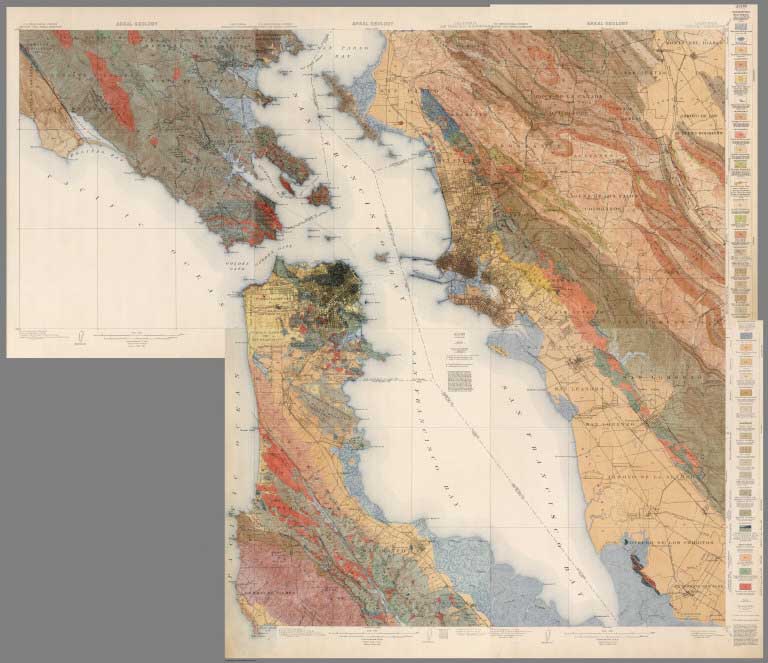 |
Geologic Atlas of the United States, San Francisco Folio. Tamalpais, San Francisco, Concord, San Mateo, and Haywards Quadrangles, California. By Andrew C. Lawson. Washington D.C. 1914 |
 |
Cartoon Map of the European War Area Entitled European Revue. Kill That Eagle. Drawn by the Well-known Anglo-Russian Artist J.H. Amschewitz. Published by "Geographia," Limited ... London, 1914 |
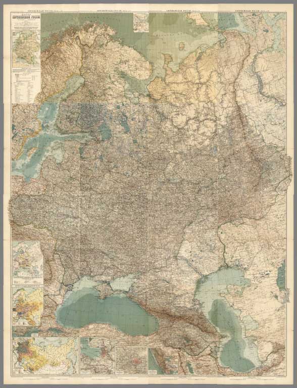 |
Bolshoi vsemirnyi nastolny atlas Marksa. Nachatyi podi redakciei pokoynago professora E. Iu. Petri, zakonchennyi vʺ 1903 g. i vychodyachii vtorymʺ izdaniemʺ pod redakciei Iu. M. Shokalskago ... 62 glavnychʺ i 160 dopolnitelʹnychʺ kartʺ na 55 tablicachʺ in folio ... Vtoroe peresmotrennoe i dopolnennoe izdanie 1909 goda. Depechatka 1916 goda, 1916 |
|
Die Militarischen Ereignisse im Volkerkrieg 1914-1919 in wochentlichen Karten mit Chronik zu dauernder Erinnerung von der Kriegshilfe Muchen N.W. dem Kriegsfuersorgeamt Wien Ueberlassen. (Military Events in the People's War, 1914-1919, in Weekly Maps for Everlasting Memory provided to the War Welfare Department Vienna by the War Welfare Department Munich N.W.). 1914 to 1919 |
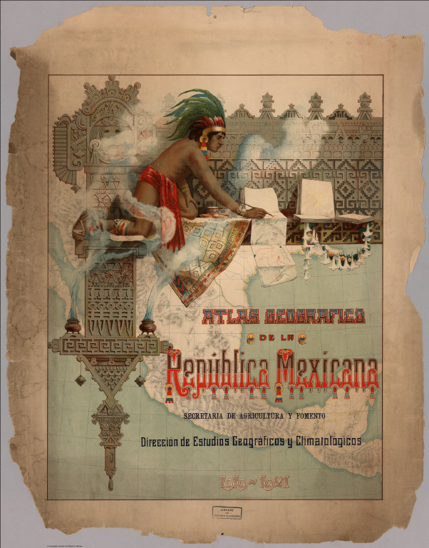 |
Atlas geografico de la Republica Mexicana : Secretaria de Agricultura y Fomento : Direccion de Estudios Geograficos y Climatologicos 1919-1921. |
 |
Atlas Scolaire Suisse pour l'Enseignement Secondaire. Publ. par la Conférence des Chefs des Départements Cant. de l'instruction publ. et Subventionné par la Confédération. 2me edition. Executé par l'Institut, Kartographia Winterthur S.A. 1921. |
 |
Map of New York : Patented Jan 4, 1921, copyright 1923 by Rota-ray map systems, inc. Rochester. New York. Notice: Traveling East the adjoining section is on the bottom roller. Notice: Traveling West the adjoining section is on the top roller. The roads are numbered where it leaves the section. It comes in on the adjoining section at the same number. 1923 |
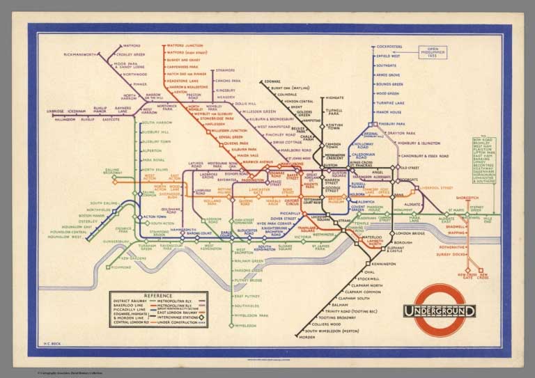 |
14 London Underground Maps, dated from 1909 to 1950 |
|
|
Maps for Imperial Airways by Lazlo Moholy-Nagy and James Gardner, 1937 |
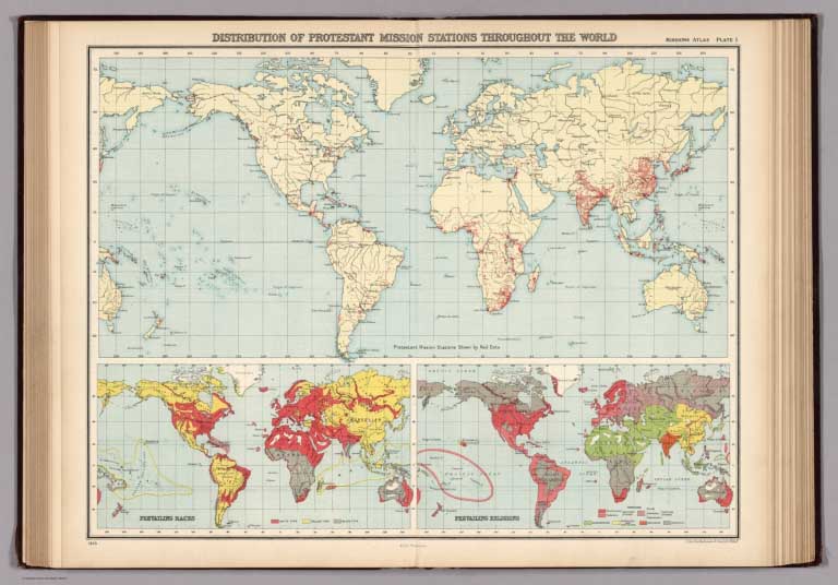 |
World Missionary Atlas. Containing a Directory of Missionary Societies, Classified Summaries of Statistics, Maps Showing the Locations of Missionary Stations throughout the World, a Descriptive Account of the Principal Mission Lands, and Comprehensive Indicies, 1925 |
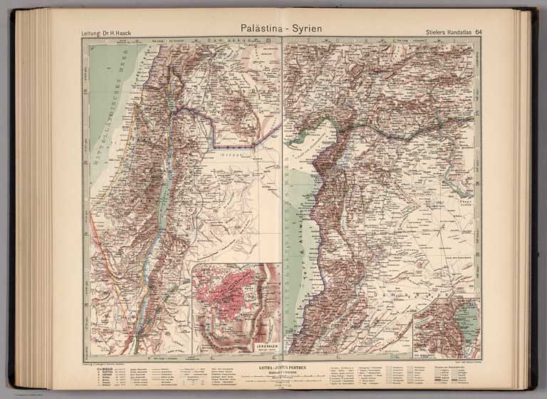 |
Stieler's Atlas of Modern Geography. 254 Maps & Insets on 108 Sheets Engraved on Copper. Tenth (Centenary) Edition. Completely Revised & Largely Redrawn under the Direction of Professor H. Haack in Justus Perthes' Geogr. Institute, 1925 |
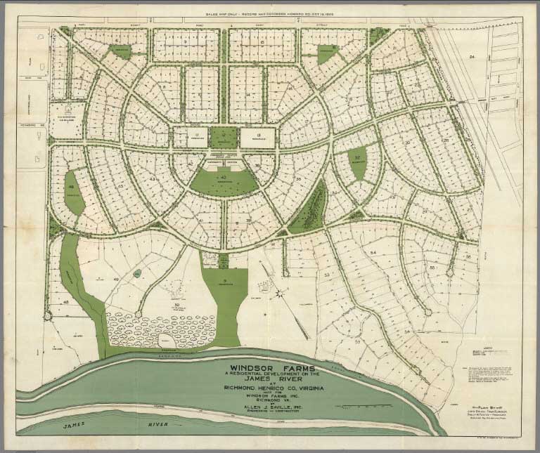 |
Windsor Farms, a residential development on the James River at Richmond. Henrico Co., Virginia : made for Windsor Farms Inc. Richmond VA. by Allen J. Saville, Inc. Engineering and Construction. Plan by John Nolen - Town Planner; Philip W. Foster - associate Harvard Sq., Cambridge, Mass. 1927 |
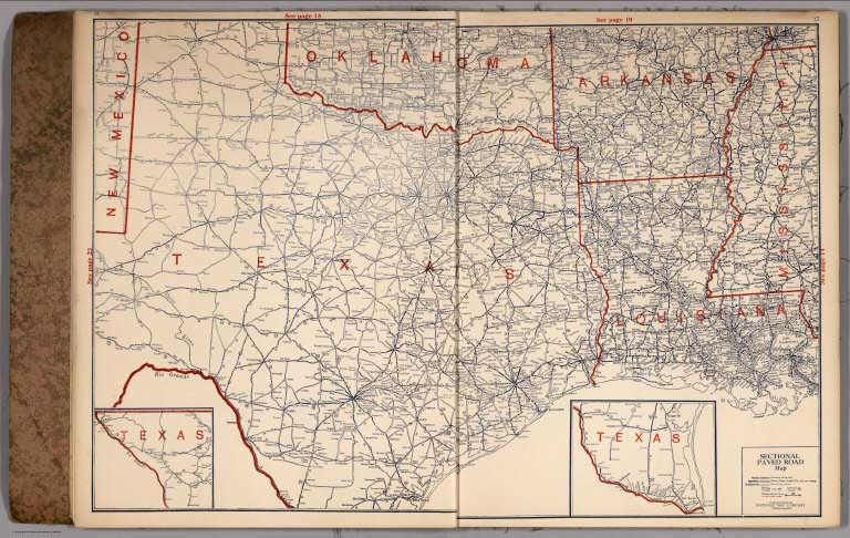 |
Official paved road and commercial survey of the United States. Sectional road maps covering the entire United States and lower Canada, 1927 |
 |
Historical Flight Map with Chronological Review of Aviation History, 1930 |
 |
Philco radio atlas of the world. New edition ... 1935 |
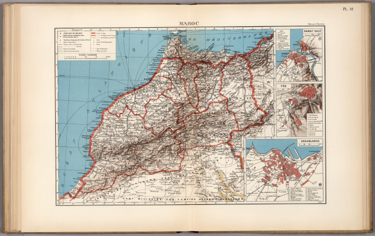 |
Atlas de L'Afrique du Nord ... Cartes dressees par: le Commandant P. Pollacchi, Ancien chef de la Cartographie etrangere du Service Geographique de l'Armee; M.R. de Flotte de Roquevaire, Chef du Service Cartographhique du Gouvernement, General de l'Algerie; le Commandant H. Nady, Chef de Service Geographique du Maroc, 1939 |
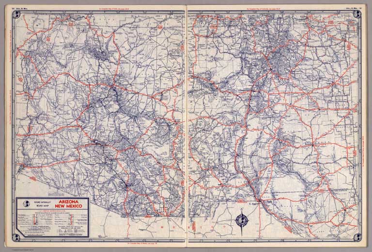 |
State Farm road atlas : United States, Canada, Mexico, hotel, cabin camp guide. Published by: The State Farm Insurance Companies Travel Bureau, Bloomington, Illinois. Copyright 1939 by Rand McNally & Company, Chicago, Ill. 1939 |
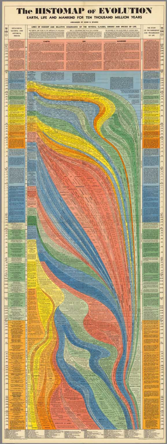 |
The Histomap of Evolution: earth, life and mankind for ten thousand million years. Arranged by John B. Sparks. Copyright, 1932, by John Sparks, 1942 edition. (Cover title) From the flaming planet to modern man: The Histomap of Evolution : Ten thousand million years of evolution on single page. One dollar. 1942 |
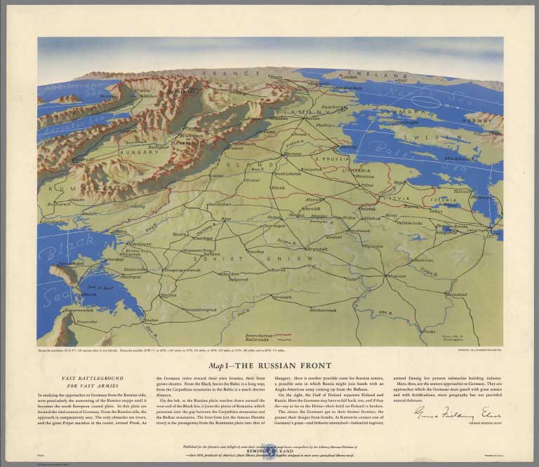 |
[World War II battlefronts]. Copyright, 1944, by Remington Rand, Inc. Printed in U.S.A. (Map signed by) Kenneth W. Thompson. (text signed by) George Fielding Eliot. 1944 |
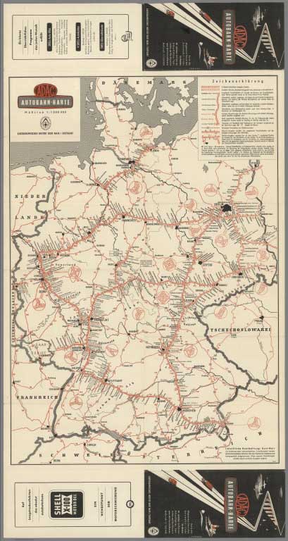 |
ADAC Autobahn-Karte. Masstab 1:1 500 000. (panel title) ADAC Autobahn-Karte : Karte des Allgemeinen Deutschen Automobil-Clubs, Sitz Munchen. Mit samtlichen Auffahrten, Hilfsauffahrten, Tankstellen und Rasthausern sowie dem Fernstrassennetz. Kartographisches Institut Kurt Mair/ Stuttgart. 1950 |
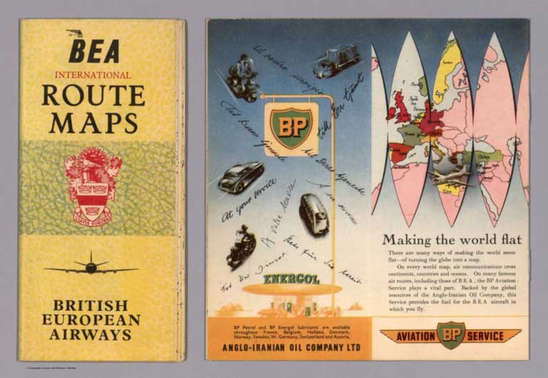 |
BEA International Route Maps : British European Airways. Printed in U.K. by International Aeradio Ltd., Southall, Middlesex. 1954 |
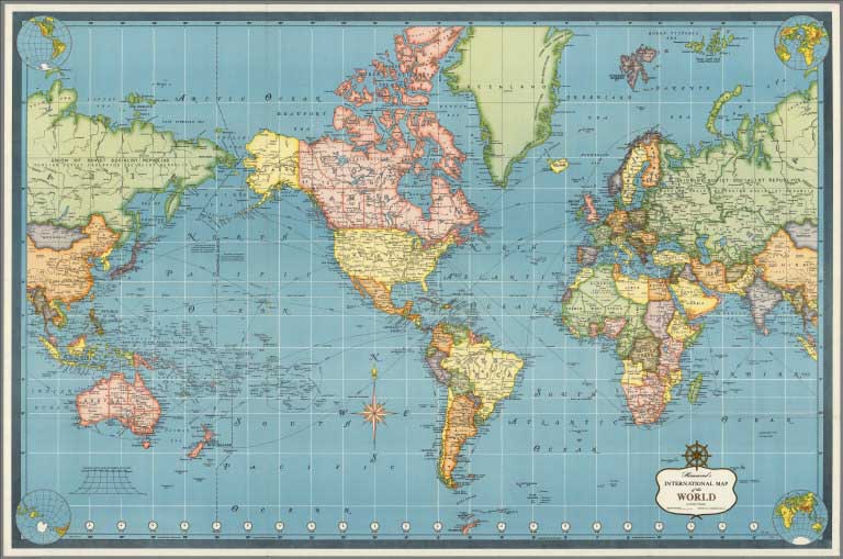 |
De Luxe Map Library. Hammond. Classics Edition. 1957 |
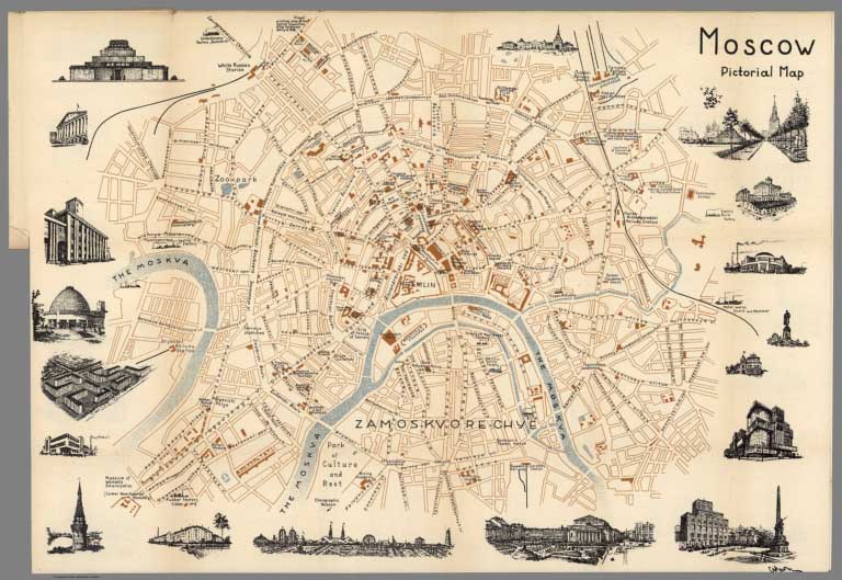 |
Intourist's Pocket Guide to the Soviet Union. Maps of Moscow and Leningrad. State Publishers for Foreign Trade. Printed in USSR, 1960 (with) Moscow. Map by Michael Getmanski, 1938 |
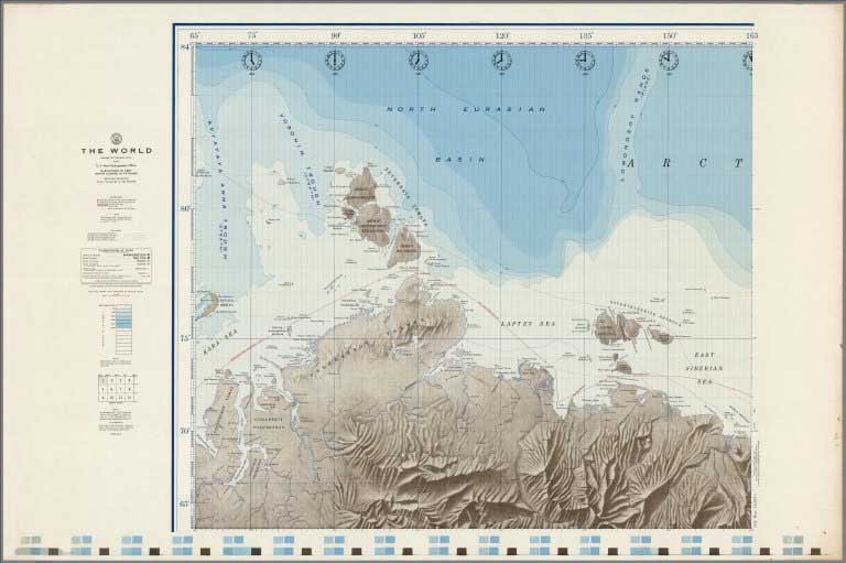 |
The World. Compiled from information to 1961 by the U.S. Navy Hydrographic Office. Elevations in Feet. Depth Curves in Fathoms. Mercator Projection... 2nd Ed. Oct.1961 |
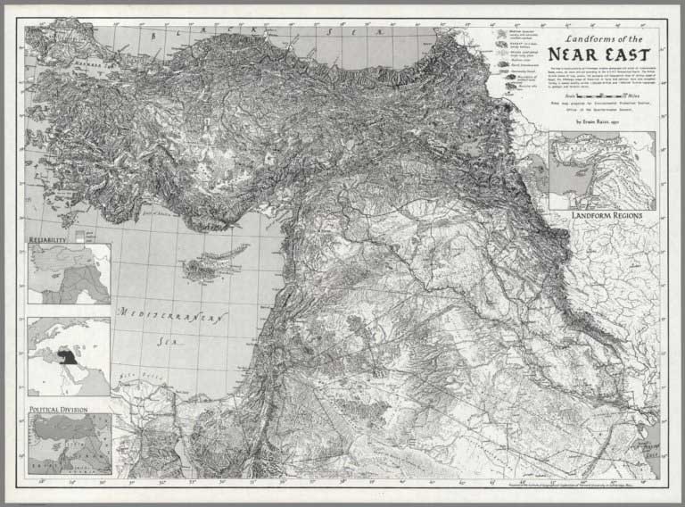 |
35 Landform Maps by Erwin Raisz, 1933 to 1968 |
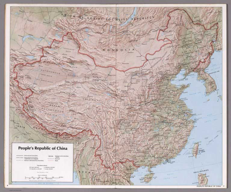 |
People's Republic of China - Atlas. November 1971 |
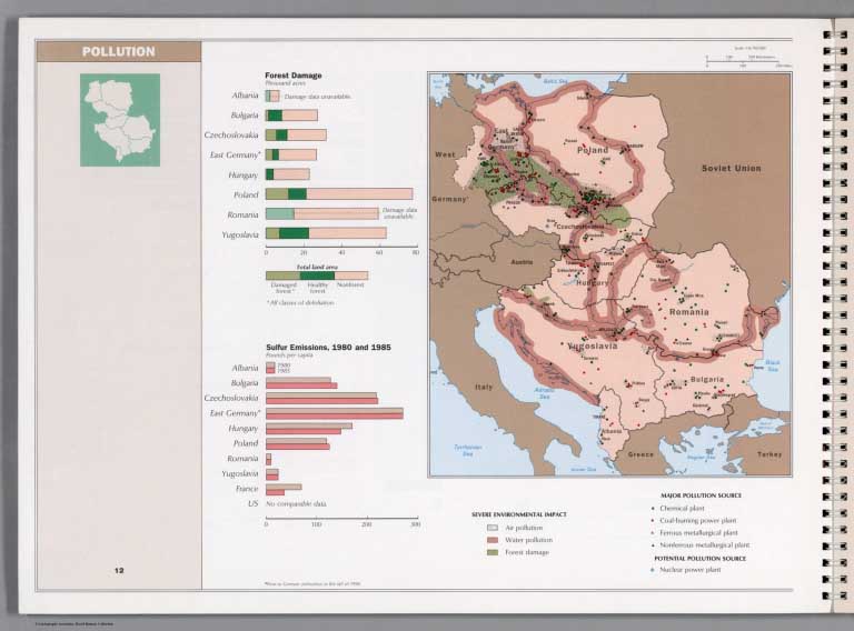 |
Atlas of Eastern Europe, 1990 |
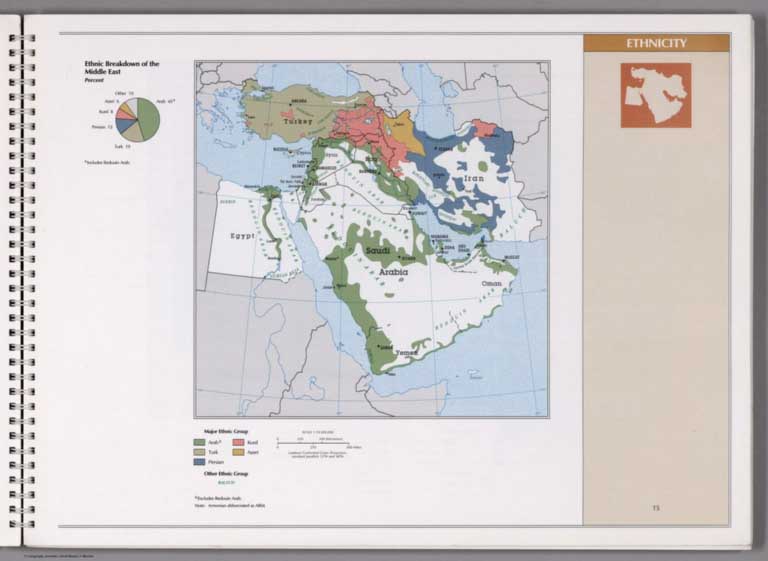 |
Atlas of The Middle East, 1993 |
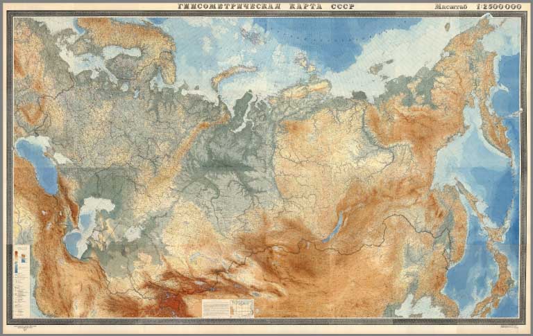 |
Gipsometricheskaia karta SSSR. masshtab 1:2500000. Glavnoe upravlenie geodezii i kartografii pri Sovete Ministrov SSSR. Moskva, 1949 (Physical Map of the Soviet Union) |
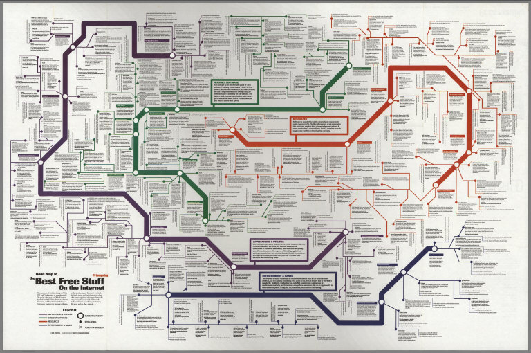 |
Road Map to the Best Free Stuff on the Internet, 1995 |
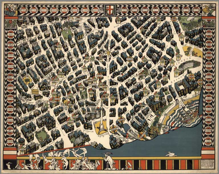 |
Over 2,000 Pictorial Maps added, 1611 to 2014 |

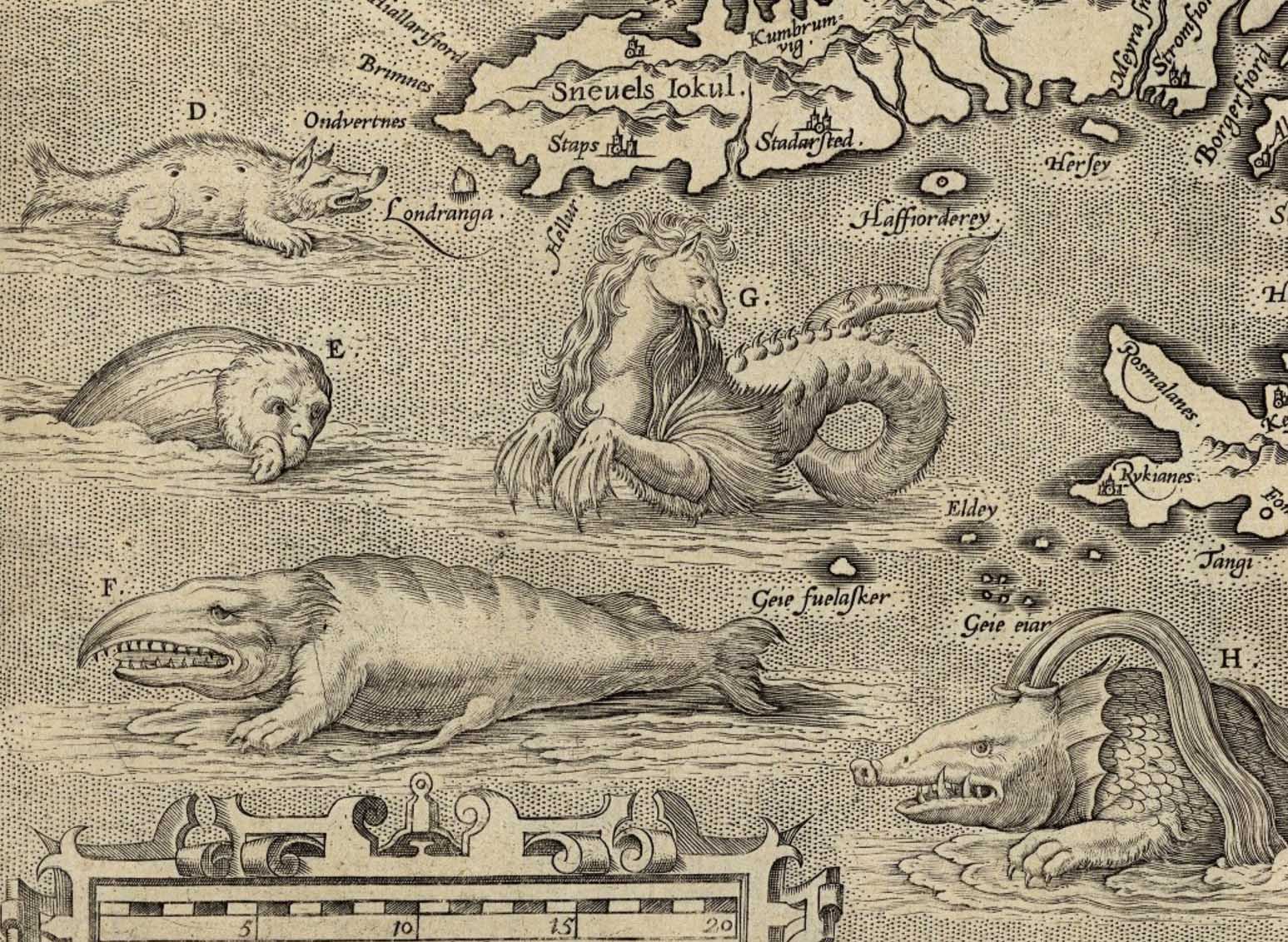
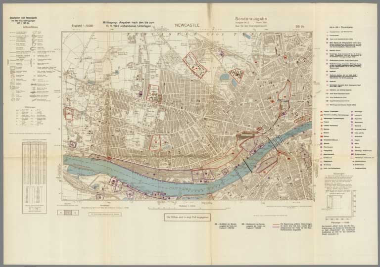
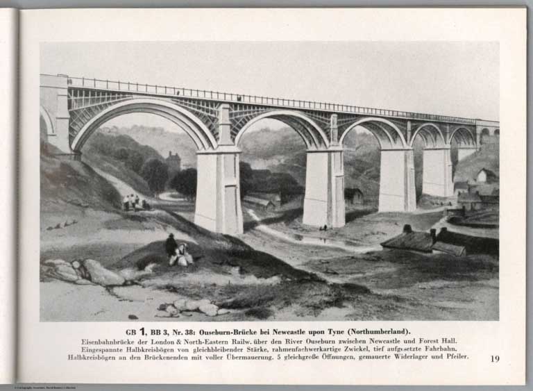
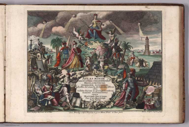
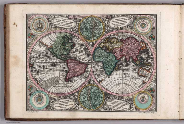
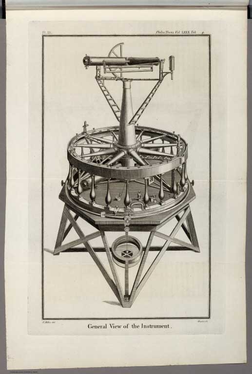
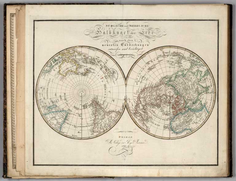
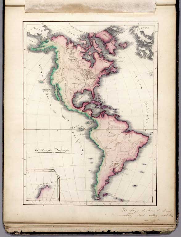
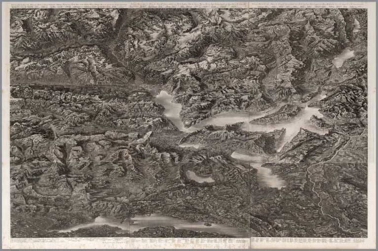
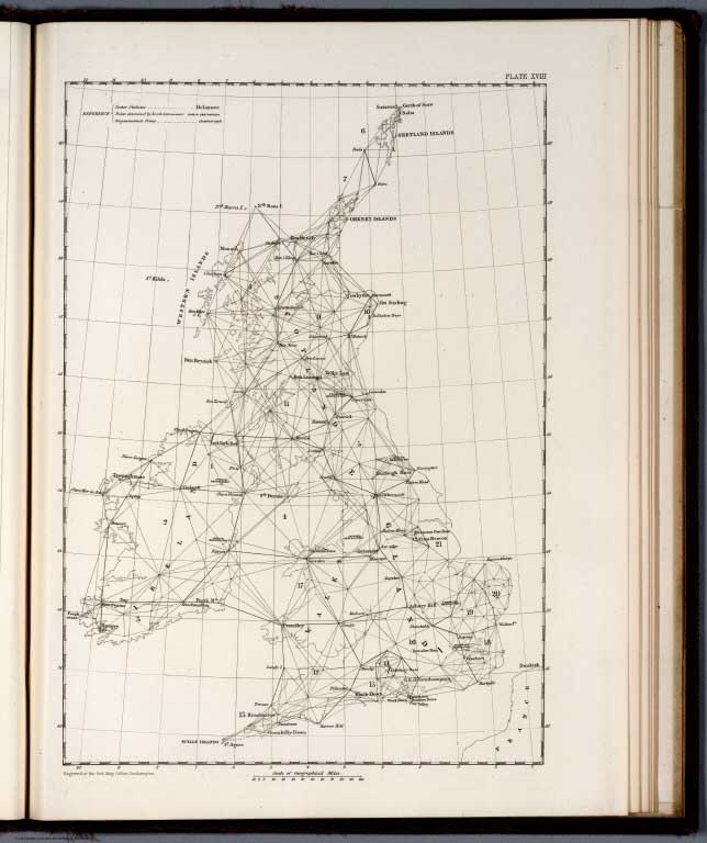
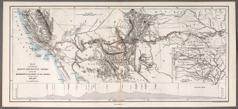
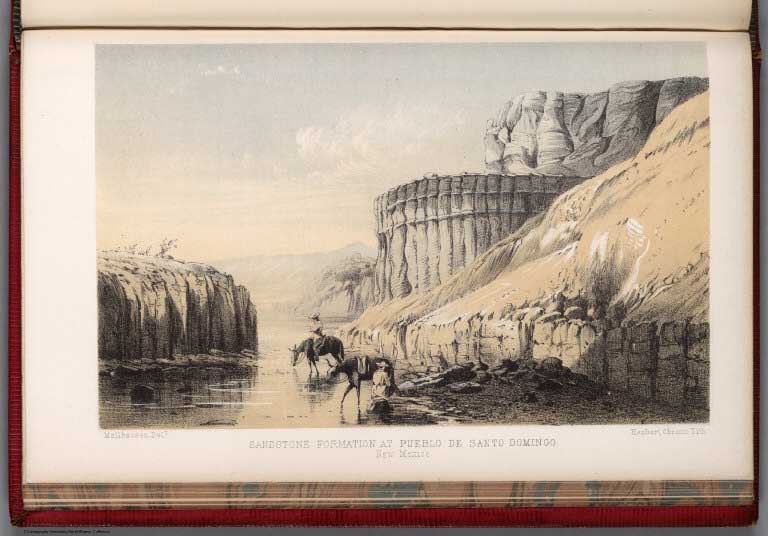
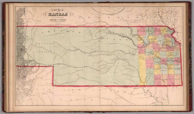
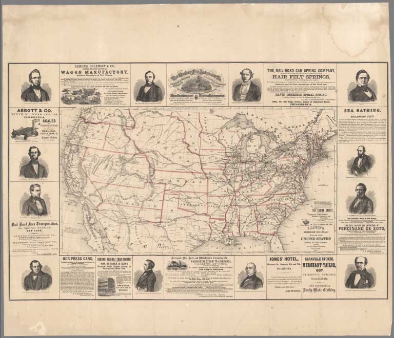
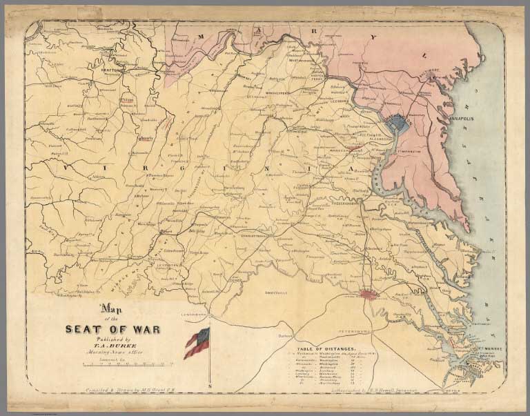
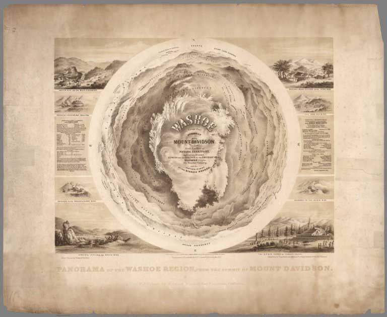
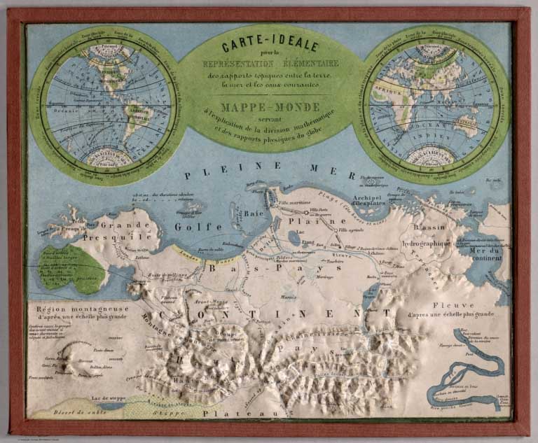
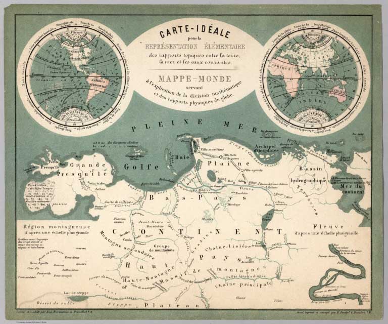

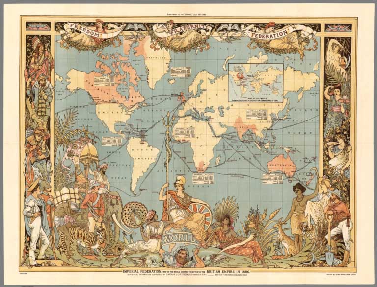
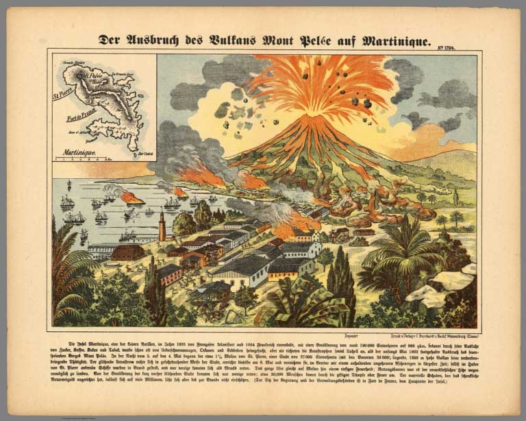
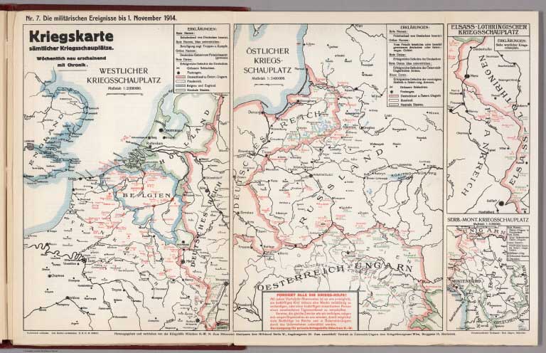
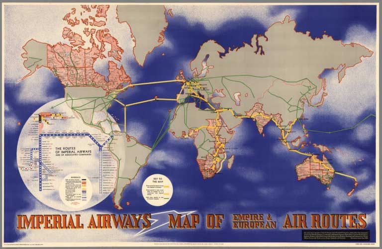
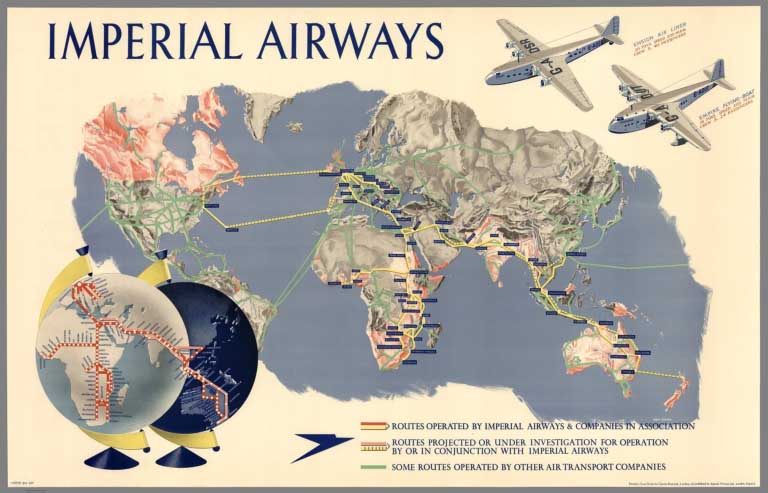
- Recent Additions
- October 15, 2005
October 15, 2005 - 1,564 New Maps Added
 |
The following are highlights from 1,564 New Maps added to the David Rumsey Collection. All titles may be found by launching the Insight Browser or Java Client and searching under Search/by Publication Author using the author last names below. Or click here to view all 1,564 new maps. |
31 Children's School Atlases ranging in date from 1777 (William Faden, Geographical Exercises, London) to 1875 (Samuel Augustus Mitchell, Ancient Atlas, Philadelphia). Highlights include M.B. Moore, Geographical Reader for Dixie Children (a rare Civil War era school atlas published in Raleigh, North Carolina); American school atlases published by Morse, Worcester, Carey, Cornell, Cummings, Woodbridge, Willard, Grigg, Adams, Goodrich, Huntington, Olney, Fitch, Mitchell, and Smith; a manuscript school atlas by Francis Bowen, 1810; J.B. Clouet, Geographie Moderne, Paris, 1787; Delamarche and Lattre, Petit Atlas Moderne, Paris, 1800; and Edward Patteson, General and Classical Atlas, Surrey, 1804. View 31 School Atlases
A Chart of North and South America, 1753
Green, John; Jefferys, Thomas, London
First Edition of this important chart showing North and South America and the Pacific and Atlantic oceans. The first chart to label Behring's Straits, and the most accurate map of its time in establishing more correct placements of the coasts of the Americas and Northeastern Asia. View Chart
A New General Atlas, 1817
Thomson, John, Edinburgh.
86 Maps and text pages. The first edition of an important atlas of the World. This atlas was inspired by Pinkerton's Modern Atlas of 1815 (see our copy), which it resembles. View Atlas. View Thomson and Pinkerton Atlases together
Atlas Encyclopedique Contenant les Cartes and les Planches Relatives a la Geographie Physique, 1827
Desmarest, Nicholas; Bury de Saint-Vincent, M., Paris
52 maps, views, and text sheets. An early physical atlas. View Atlas
Atlas Universel de Geographie Ancienne et Moderne, 1833
Lapie, M. (Pierre); Lapie, Alexandre Emile, Paris
54 Maps and text pages. First edition, dated 1829 on the title page but with some maps dated 1833. The Carte des Etats-Unis is a magnificent map, showing the continent from coast to coast. View Atlas
Traveaux d'Amelioratins Interieures Projetes ou Executes par le Gouvernement General des Etas-Unis d'Amerique, 1834
Poussin, Guillaume Tell, Paris
14 Maps and text pages. Exceptionally well drawn maps and plans that detail the ambitious public works projects (primarily canals) undertaken in the United States in the period 1824 to 1831 View Atlas
Statistical Atlas of the United States, 1874
Walker, Francis A; United States Census Office, Washington
57 Maps, diagrams, and text pages. The first statistical atlas published by the United States Government, based on the census of 1870. View Atlas
Report on a Plan for San Francisco, 1905
Burnham, Daniel H., San Francisco
55 Maps, diagrams, views, and text pages. First edition. Shows an elaborate plan to redesign San Francisco with the creation of huge boulevards cutting across the existing street grid. The earthquake and fire that occurred the following year, 1906, rendered the scheme obsolete. View Book
(Various U.S. State, County, and City Atlases), 1872-1903
Various Authors
Click on each title to view the atlas.
G.M. Hopkins & Co. White, M. Wood; Gamble, William H.; Miller, M.A.. Martinet, Simon J.; Walling, H.F.; Gray, O.W.; Lloyd, H.H. Fuller, Henry; J.B. Beers & Co. Hopkins, Griffith Morgan Everts & Kirk Beers, F.W.; (Watson, Gaylord) Bromley, George Washington; Bromley, Walter Scott Richards, L.J.; J.P. Brown & Co. Bromley, George Washington; Bromley, Walter Scott
Atlas of the Cities of Pittsburgh and Allegheny, 1872
Atlas of the State of West Virginia, 1873
Atlas of the State of Maryland and the District of Columbia, 1873
Farm Line Map of the City of Brooklyn, 1874
City Atlas of Providence, Rhode Island (3 volumes), 1875
Atlas of Nebraska, 1885
Atlas of the Hudson River Valley, 1891
Atlas of the City of Boston, Boston Proper and Roxbury, 1895
Atlas of Dorchester, West Roxbury, and Brighton, City of Boston, 1899
Atlas of the City of Cambridge, Massachusetts, 1903
- Featured Maps
- March 28, 2012
Timeline Maps
Mapping time has long been an interest of cartographers. Visualizing historical events in a timeline or chart or diagram is an effective way to show the rise and fall of empires and states, religious history, and important human and natural occurrences. We have over 100 examples in the Rumsey Map Collection, ranging in date from 1770 to 1967. We highlight a few below.
Sebastian Adams' 1881 Synchronological Chart of Universal History is 23 feet long and shows 5,885 years of history, from 4004 B.C. to 1881 A.D. It is the longest timeline we have seen. The recently published Cartographies of Time calls it "nineteenth-century America's surpassing achievement in complexity and synthetic power." In the key to the map, Adams states that timeline maps enable learning and comprehension "through the eye to the mind."
Below is a close up detail of a very small part of the chart: (click on the title or the image to open up the full chart)
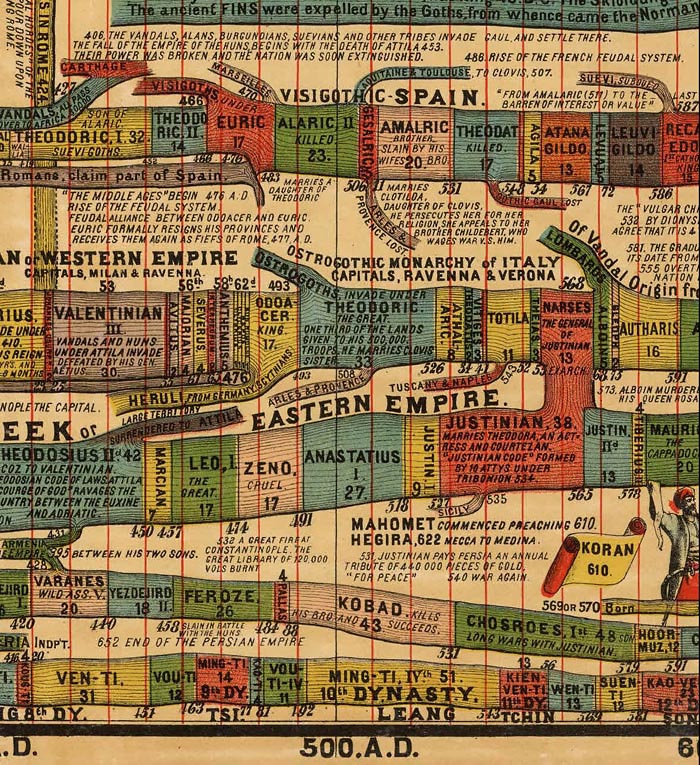
Another detail covering a larger area with the chart turned sideways:

Detail of Sebastian Adams, Synchronological Chart of Universal History, 1881 (click to open full chart)
Eugene Pick published the Tableau de L'Histoire Universelle in 1858 in two sheets, one for the Eastern Hemisphere (shown here) and one for the Western Hemisphere. The chart shows history from 4004 B.C. to 1856. Like many timelines in this style, it is based on the 1804 Strom der Zeiten (Stream of Time) by Friedrich Strass of Austria. Part of Pick's chart is shown below:
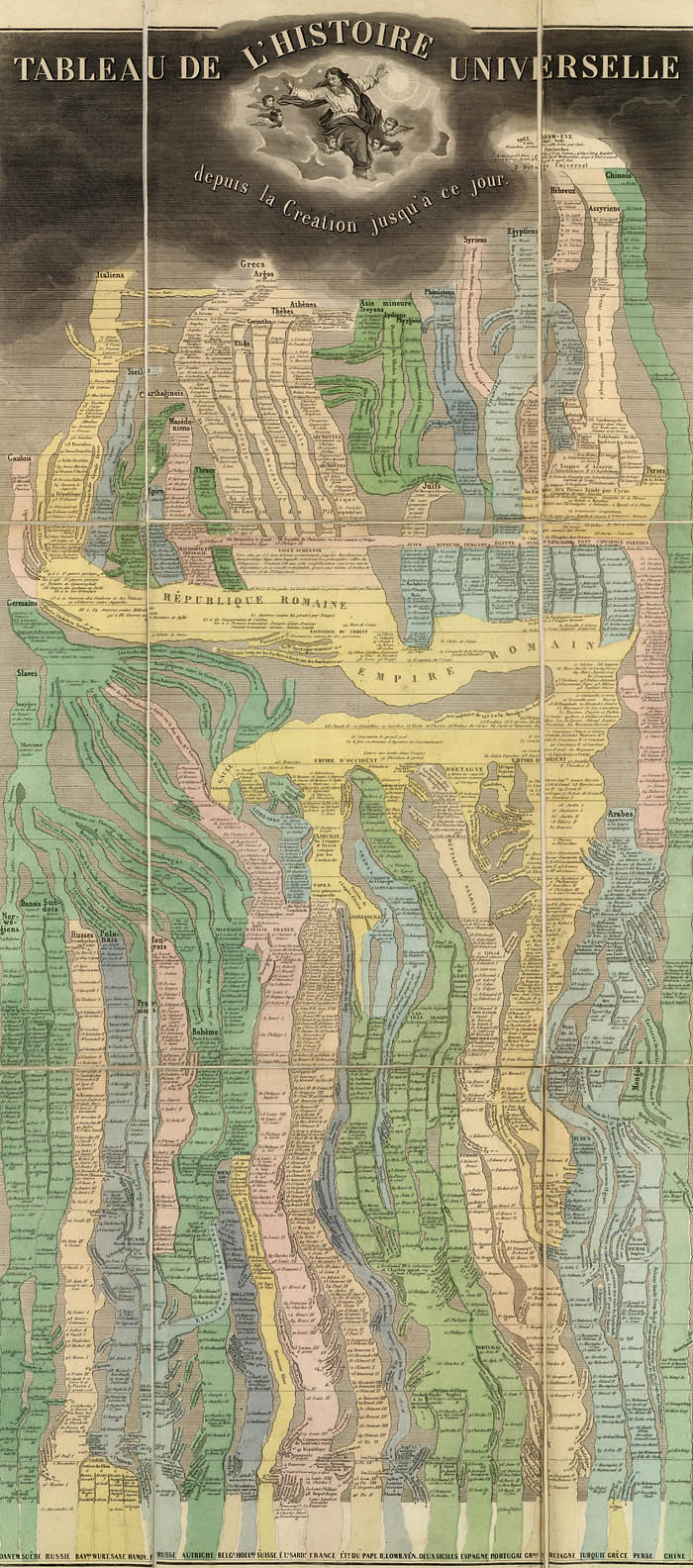
Close up detail of Pick's chart:
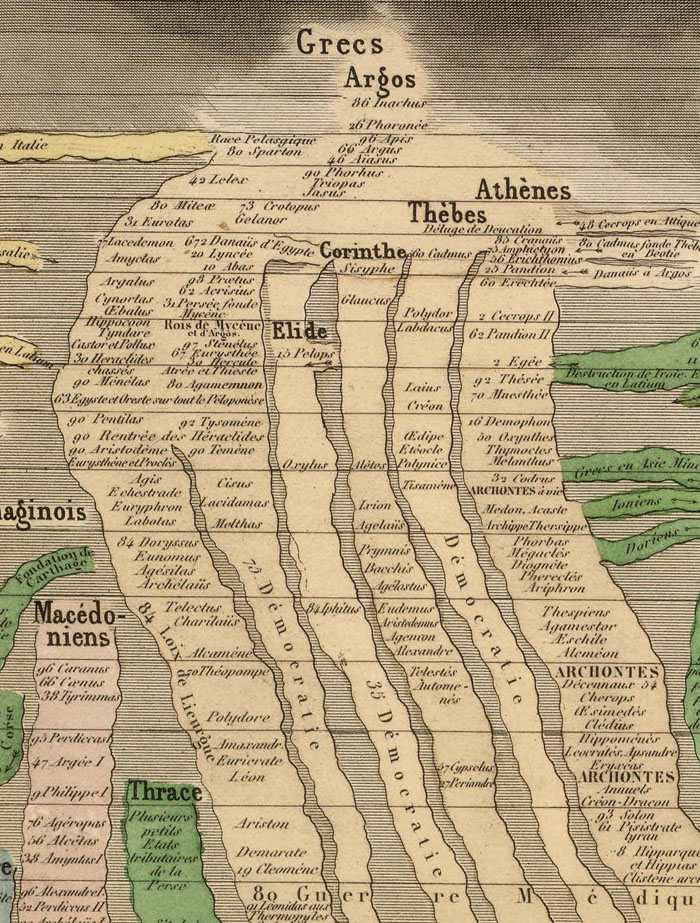
Another timeline chart based on the Strass chart was Joseph Colton's 1842 Chart of Universal History. This is one of the earliest examples we have seen of the complete Strass model published in the United States (though earlier partial versions or derivations of the form appeared in the U.S.) The explanation at the bottom of the chart states "Each Nation is represented by a stream which is broken in upon or flows on undisturbed as it is influenced by the accession of Territory or the remaining at Peace."

Detail of Colton's chart:
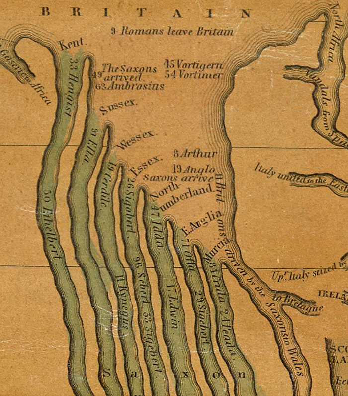
Emma Willard's 1836 "Picture of nations or perspective sketch of the course of empire" uses innovative perspective to add a time dimension to her chart which is otherwise similar to the Strass-Colton-Pick models. It appears in her "Atlas to Accompany a System of Universal History."

Willard timeline detail:
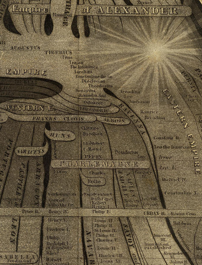
Emma Willard uses another form of timeline in her 1824 "Progress Of The Roman Empire, Illustrated By The course Of The River Amazon." Here she shows the actual course of the Amazon as a timeline showing the history of the Roman Empire. The chart appeared in her 1824 "Ancient Geography, As Connected With Chronology, And Preparatory to the Study of Ancient History."

Rand McNally published amateur historian John B. Spark's "The Histomap. Four Thousand Years Of World History" in 1931. This popular chart went through many editions. On the cover, Sparks states: "Clear, vivid and shorn of elaboration, Histomap holds you enthralled as you follow the curves of power down time's endless course. Here is the actual picture of the march of civilization from the mud huts of the ancients thru the monarchistic glamour of the middle ages to the living panorama of life in present day America."

Francis Walker's 1874 "Statistical Atlas of the United States" contains many maps and diagrams that show data from the 1870 U.S. Census arrayed in timelines. The chart below, with the title "Fiscal chart of the United States showing the course of the public debt by years 1789 to 1870 together with the proportion of the total receipts from each principal source of revenue and the proportion of total expenditures for each principal department of the public service," shows 80 years of financial data arranged by time:
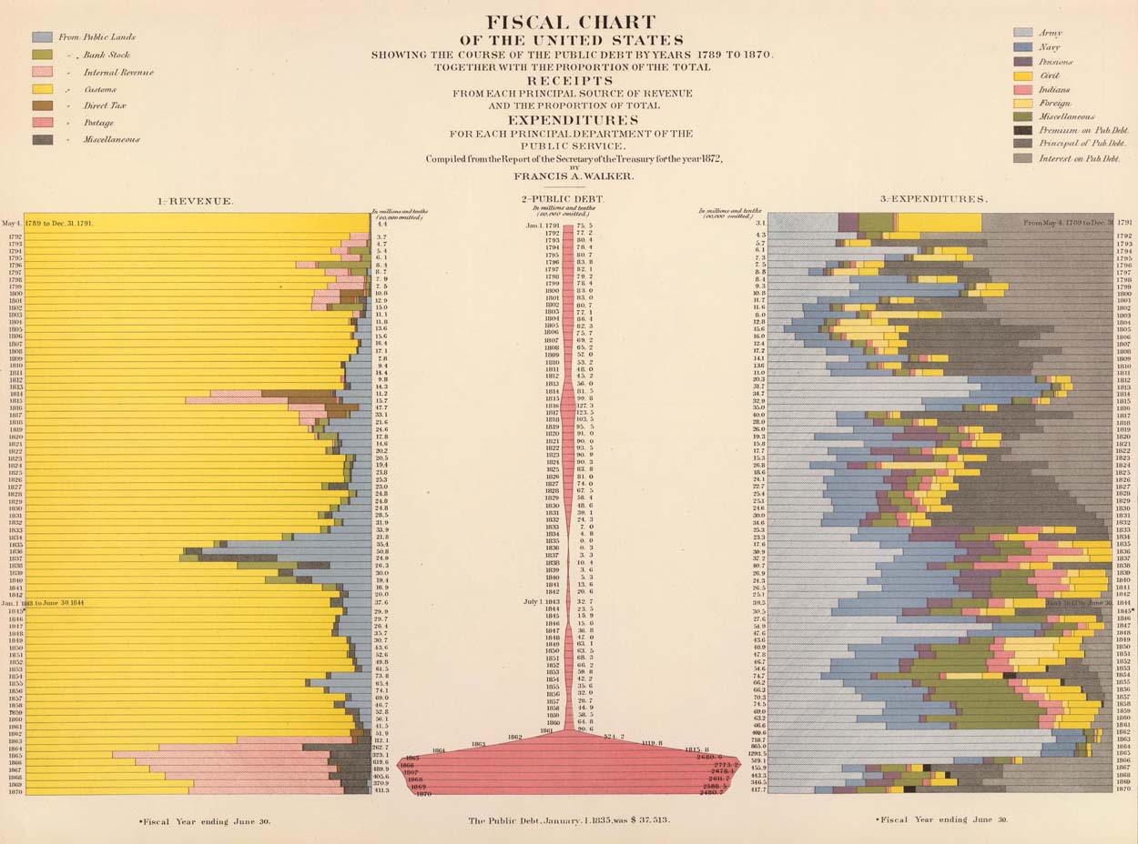
In 1878 O.W. Gray published "Chart Exhibiting the Relative Rank of the States for Nine Decades (1790-1870)." This is another kind of timeline that shows changing rank relationships between the U.S. states over time:
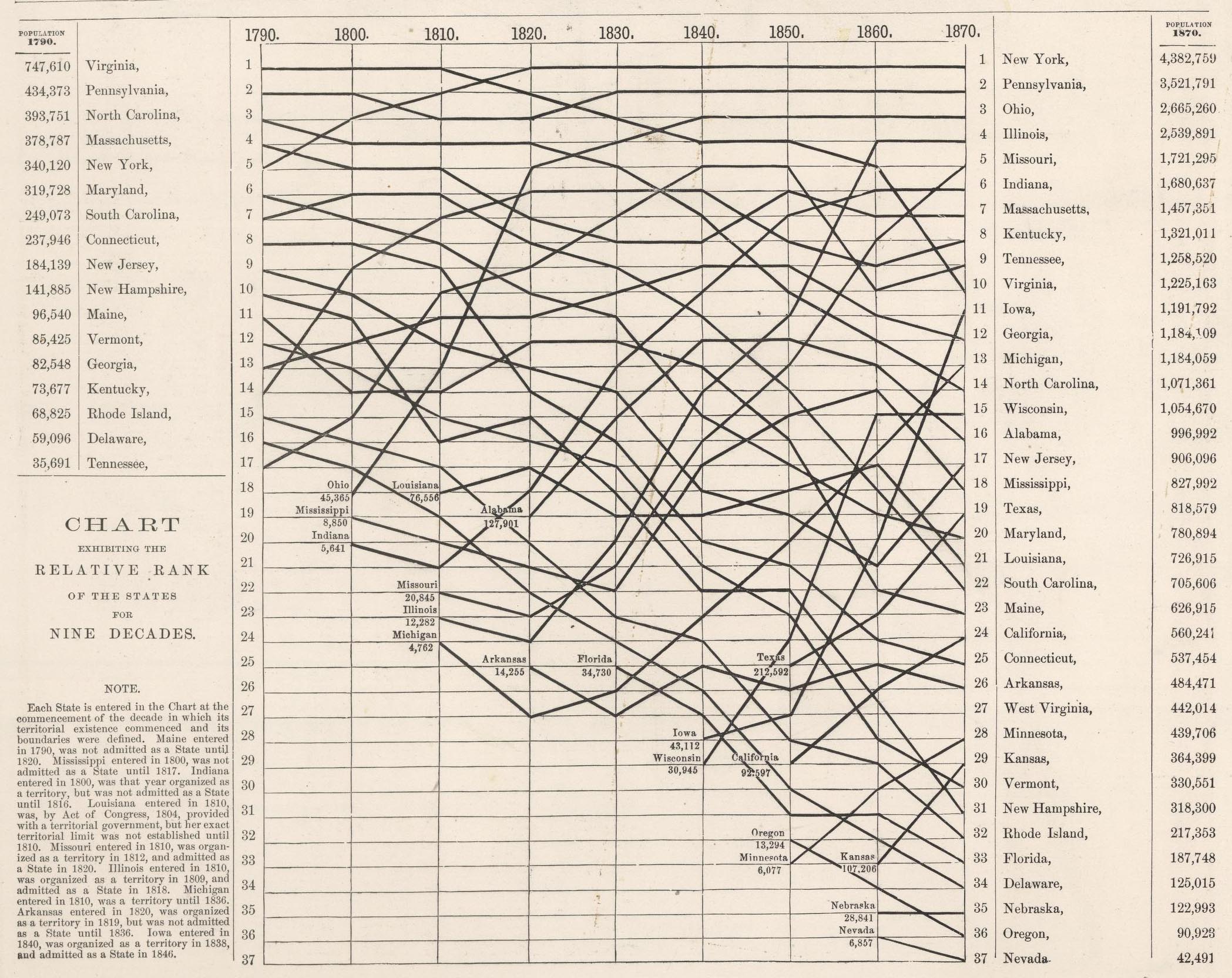
The chart below appeared in Henry Gannett's "Statistical atlas of the United States, based upon results of the Eleventh Census (1890)." Titled "Growth of the elements of the population: 1790 to 1890. (with) Proportion of aliens to foreign born males 21 years of age and over 1890," it is based on the Eleventh Census (1890) of the United States. It combines perspective, three dimensional views, map and timeline together.
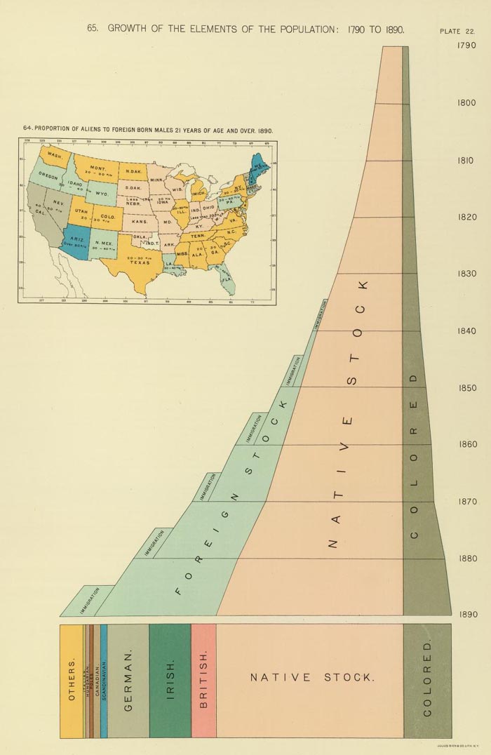
The "Chronological Chart of North American History" appeared in Colton and Fisher's "Illustrated Cabinet Atlas and Descriptive Geography" of 1859. The chart uses color coding to arrange important historical events by time and geography.
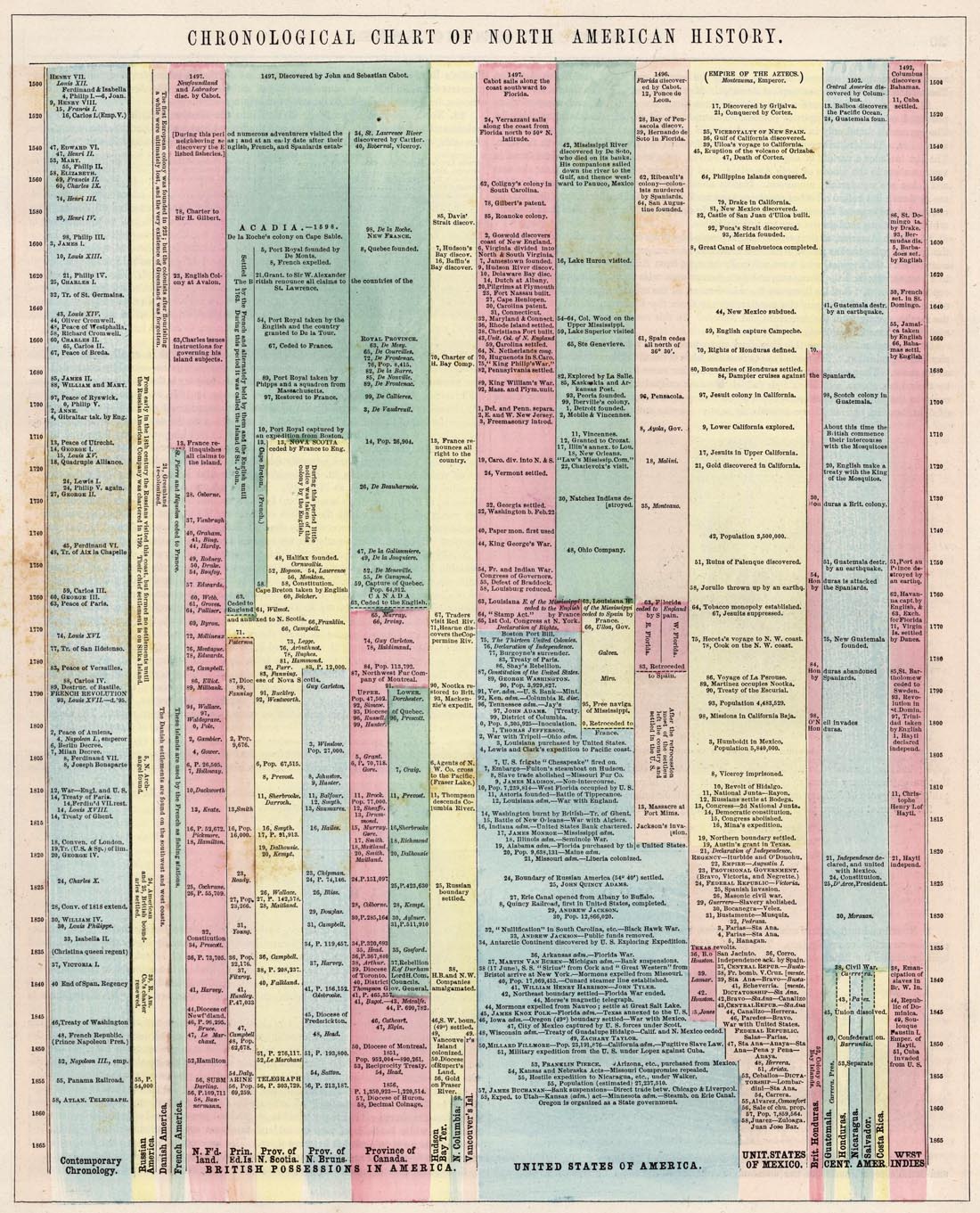
Edward Quin published "An Historical Atlas; In a Series of Maps of the World as Known at Different Periods" in 1830. Rather than a strict timeline, Quin creates an entirely unique kind of time map series by using 21 maps that show progressively receding cloud borders to indicate the expansion of geographical knowledge over time. Below are 4 of the 21 maps.
The first map in the series is B.C. 2348. The Deluge:

The third is B.C. 753. The Foundation Of Rome:

The eighth is A.D. 1. The Roman Empire In The Augustan Age:

And the sixteenth is A.D. 1498. The Discovery Of America:

These two time diagrams show time in several locations relative to the time of noon at Washington, D.C. A.J. Johnson published the diagram below with the title "A Diagram Exhibiting the difference of time between the places shown & Washington." It appeared as the last page in his "New Illustrated (Steel Plate) Family Atlas" of 1860.

Mitchell's "A time table indicating the difference in time between the principal cities of the World and also showing their air-line distance from Washington" is similar with a slight change in style.
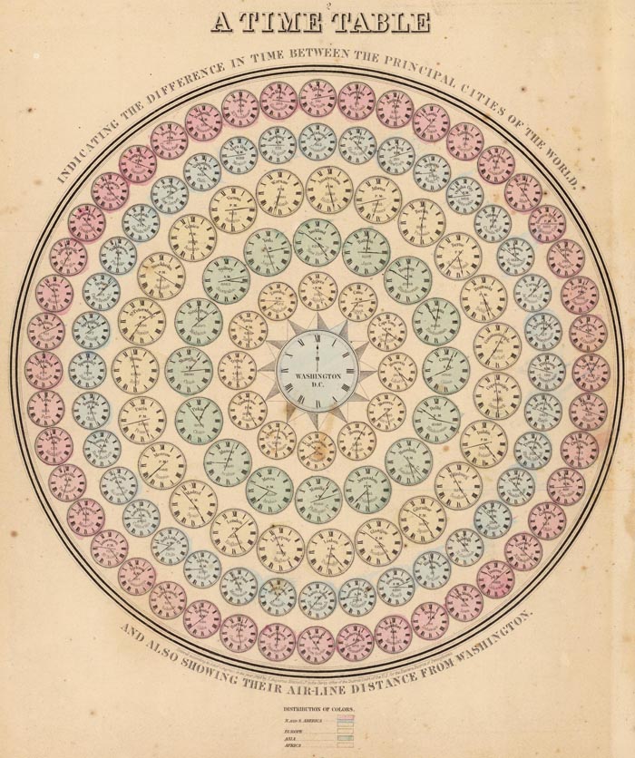
Finally, Herbert Bayer's amazing chart below, the "Succession of Life and Geological Time Table" extends the timeline from the birth of the earth to the appearance of man - tying geologic history and the evolution of life together in one chart. It appeared in his "World Geo-Graphic Atlas" of 1953.
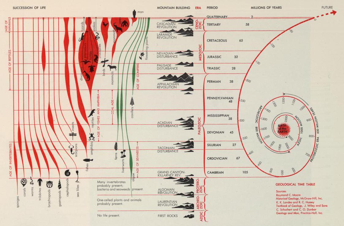
- Recent Additions
- February 11, 2013
February 11, 2013 - 2,745 New Maps Added
2,745 new maps and images have been added to the David Rumsey Map Collection, bringing the online collection to 37,365 maps and related images. Highlights in this addition are Cruz Cano's large wall map of South America 1775, two miniature atlases from 1758 and 1762, maps by Aaron Arrowsmith, a large group of pocket maps, an important large wall map of Georgia 1818, three copies of Tanner's American Atlas 1823, 1824, 1833, 63 birds-eye views of the Austrian countryside around Vienna 1837, Emma Willard's Chronographer of American History 1845, an 1870 Union Pacific Railroad map game, the 26 sheet 1880 Map of Western Palestine (also in Google Earth), 1885 Map of Chinatown in San Francisco (also in Google Earth), six Panoramic Views of U.S. National Parks 1914-15, 72 years (1918-90) of official California State Highway System maps, and the 1966 Atlas of Czechoslovakia. All titles may be found by clicking on the View links or images below. Or click here to view all 2,745 new maps and images.
 |
Mapa Geografico De America Meridional, 1775 |
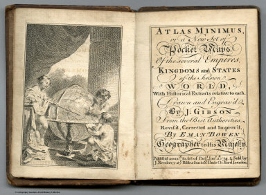 |
Atlas Minimus, 1758; Atlas Geographicus Portatilis, 1762 |
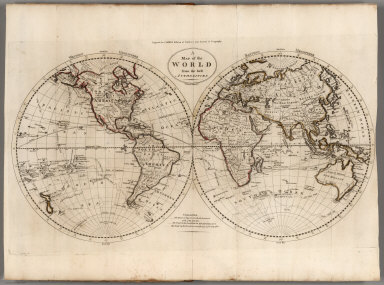 |
The General Atlas For Carey's Edition Of Guthrie's Geography Improved ... 1795 |
 |
Two Editions of Wilkinson's General Atlas of the World, 1806 and 1808, and the 1823 Edition of Wilkinson's Atlas Classica. |
|
|
Colombia Prima or South America, In which it has been attempted to delineate the Extent of our Knowledge of that Continent Extracted Chiefly from the Original Manuscript Maps of His Excellency the late Chevalier Pinto Likewise from those of Joao Joaquin da Rocha, Joao da Costa Ferreira, El Padre Francisco Manuel Sobrevielo &c. And From the most Authentic Edited Accounts of Those Countries, 1807 |
|
|
13 Maps and 1 Atlas by Aaron Arrowsmith, various dates, 1799 to 1822 |
 |
Oddy's New General Atlas Of The World Containing Maps of Empires, Kingdoms, States Principalities &c. Engraved and Carefully Selected from the latest and most Approved Authors by James Wallis. London. Published by S.A. Oddy, No. 20 Warwick Lane & Sold by Davies & Eldridge, Exeter, Thompson & Wrightson, Birmingham & T. Sutherland, Edinburgh. 1811 |
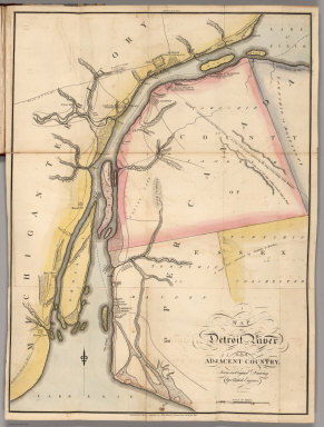 |
A Military and Topographical Atlas of the United States; including The British Possessions & Florida ... To Which Is Added, A List Of The Military Districts, A Register Of The Army, And A List Of The Navy Of The United States, 2 editions, 1813 and 1815. |
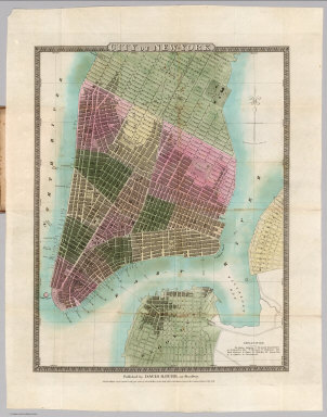 |
372 Pocket Maps and Related Images, Various Dates, 1813 - 1969. |
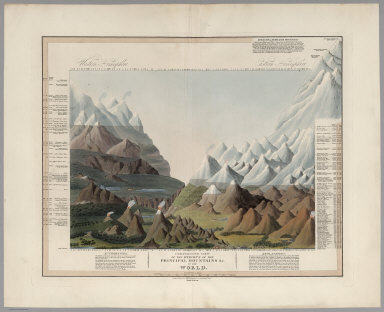 |
Comparative View of the Heights of the Principal Mountains &c. in the World, 1816 |
|
|
Comparative View of the Lengths of the Principal Rivers in the World, 1817 |
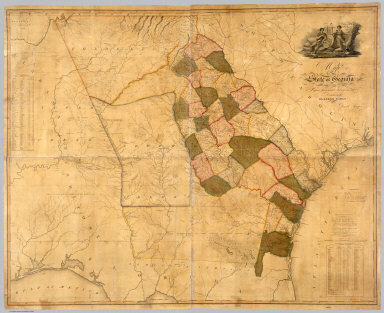 |
Map Of The State of Georgia Prepared from actual Surveys and other Documents for Eleazer Early By Daniel Sturges, 1818 |
 |
A New American Atlas Containing Maps Of The Several States of the North American Union, Projected and drawn on a Uniform Scale from Documents found in the public Offices of the United States and State Governments, and other Original and Authentic Information - Three Editions, 1823, 1824, 1833 |
 |
A Group of 58 Guide Books from 1819 to 1934 |
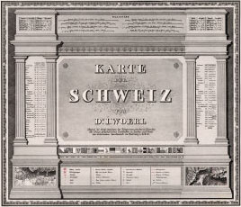 |
Karte der Schweiz, von Dr. I. Woerl. Lithographie von B. Herder in Freiburg im Breisgau, 1835 |
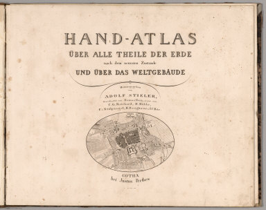 |
Hand Atlas Uber Alle Theile Der Erde nach dem neuesten Zustande Und Uber Das Weltgebaude, 1837 |
 |
Nach Angabe und auf Kosten des Verfassers der Darstellung des Erzharzofthums Osterreich unter der Ens. (The depiction of the Archduchy Austria below the Enns), 1837 |
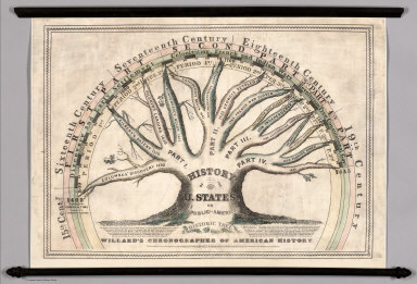 |
Willard's Chronographer of American History, 1845 |
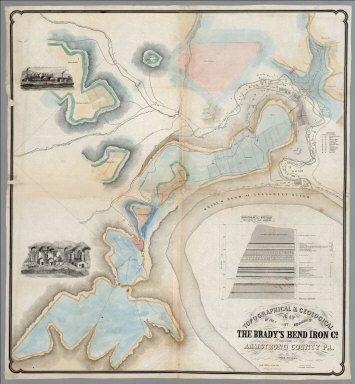 |
Topographical & Geological Map Of The Property Belonging To The Brady's Bend Iron Co. Located In Armstrong County Pa., 1850 |
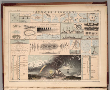 |
Atlas Of Physical Geography, Illustrating, In A Series Of Original Designs, The Elementary Facts Of Geology, Hydrology, Meteorology, And Natural History, 1852 |
 |
Department of Oregon. Map of the State of Oregon and Washington Territory, 1859 |
|
|
Illustrirter Handatlas fur Freunde der Erdkunde und Zum Gebrauch Beim Unterricht im verein mit Heinrich Leutemann Herausgegeben von Ehrenfried Leeder und Theodor Schade, 1863 |
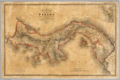 |
Carta corografica del Estado de Panama, 1865 |
 |
Detailed Maps Of The North West Boundary From Points Roberts To The Rocky Mountains Between The United States And The British Possessions, 1866 |
|
|
United States Geological Exploration of the Fortieth Parallel. Clarence King. Geologist in Charge. Atlas Accompanying Volume III on Mining Industry, 1870 |
|
|
The Voyage from New York to San Francisco upon the Union Pacific Railroad. El Viage De Nueva York A San Francisco Sobre el ferro-carril pacifico de los estados unidos. Reise von New-York nach San Francisco auf der Union-Pacific Bahn. Il viaggio di Nuova York a San Francisco sulla strada ferrata pacifica degli stati uniti. De reis van New-York na San-francisco op de Pacific-ijzerbaan van de vereenigte Staaten. Le voyage de New-york a San Francisco sur le chemin de fer pacific des etats unis, 1870 |
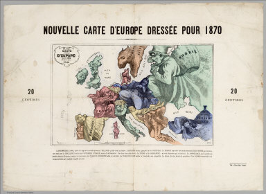 |
Carte drolatique d'Europe pour 1870 |
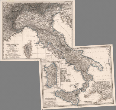 |
Hand Atlas Uber Alle Theile Der Erde Und Uber Das Weltgebaude. Erste Auscabe 1817 Jubel Auscabe 1867, 1873 |
 |
Reports upon the Survey of the Boundary Between the Territory of the United States and the Possessions of Great Britain from the Lake of the Woods to the Summit of the Rocky Mountains, 1878 |
 |
The Statistical Atlas of England, Scotland and Ireland, 1882 |
 |
Map of Western Palestine in 26 Sheets from surveys conducted for the Committee of the Palestine Exploration Fund by Lieutenants C.R. Conder and H.H. Kitchener, R.E. During the Years 1872 - 1877. [Bound with 4 other maps of Palestine], 1880 |
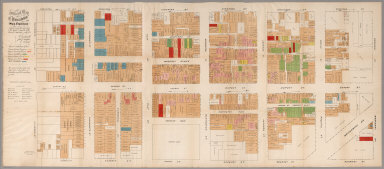 |
Official Map of Chinatown in San Francisco. Prepared under the supervision of the Special Committee of the Board of Supervisors, July, 1885 |
 |
B.F. Steven's Facsimile of the Unpublished British Head Quarters Coloured Manuscript map of New York & Environs, 1782, Reproduced from the original drawing in the War Office, London. Issued only to subscribers at 4, Trafalgar Square, W.C., London. 1782 |
 |
Andrees Allgemeiner Handatlas in 139 Haupt- und 161 Nebenkarten nebst vollstandigem alphabetischem Namenverzeichnis. Funfte, vollig neubearbeitete und vermehrte Auflage. Jubilaumsausgabe. Herausgegeben von A. Scobel. Bielefeld Und Leipzig, Verlag Von Velhagen & Klasing, 1906. |
 |
The Victoria Regina Atlas, Political, Physical & Astronomical. Containing Two Hundred Plates and Complete Index. Second Edition. W. & A.K. Johnston, Ltd. Established 1825. Edinburgh & London. 1906. |
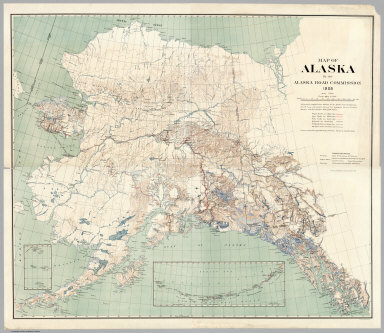 |
Map of Alaska By the Alaska Road Commission. 1909 |
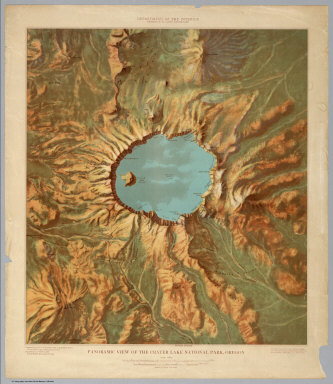 |
Six Panoramic Views of United States National Parks, 1914 - 1915 |
 |
Official California State Highway System Maps From 1918 - 1990 |
 |
California, 1945 |
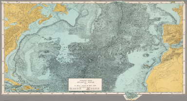 |
Physiographic Diagram, Atlantic Ocean (Sheet 1), 1957 |
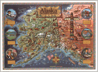 |
Alaska: Far North Frontier, 1959 |
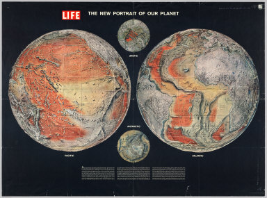 |
The New Portrait of our Planet. Life, 1960 |
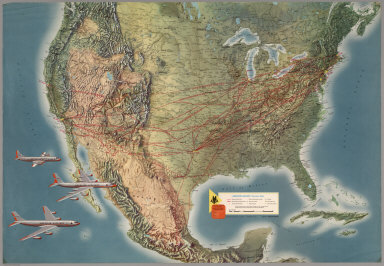 |
Six Airline Route Maps, 1960 - 1967 |
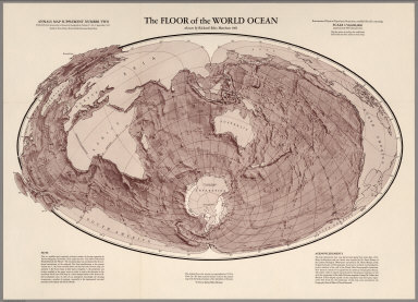 |
The Floor of the World Ocean, 1961 |
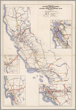 |
Eleven California Freeway and Expressway Maps, 1962 - 1975 |
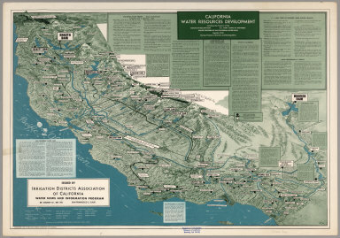 |
California Water Resources Development, including Development of the Bureau of Reclamation, U.S. Army Corps of Engineers, Major Features of the California Water Plan together with Various Projects of Districts and Municipalities, 1963 |
 |
Atlas Ceskoslovenske Socialisticke Republiky. (Atlas of the Czechoslovakian Socialist Republic), 1966 |
 |
Atlas of Volcanic Phenomena, 1971 |
 |
Climatic Atlas of North and Central America. Atlas climatico de America del Norte y America Central. Altas climatique de l'Amerique de Nord et de l'Amerique Centrale. I. Maps of mean temperatures and precipitation ... 1979 |