david rumsey
|
|
|
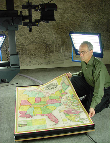
David Rumsey scanning a map for the Collection
|
David Rumsey is President of Cartography Associates, a digital publishing company based in San Francisco, and Chairman of Luna Imaging, a provider of enterprise software for online image collections. He is also widely recognized as one of the most prominent historical map collectors in the world.
Rumsey studied art history and fine arts at Yale University, earning both his BA and MFA, and later lectured at the Yale Art School. He was a founding member of Yale Research Associates in the Arts (PULSA), a pioneering group of artists working with electronic technologies. He subsequently became Associate Director of the American Society for Eastern Arts in San Francisco. Afterward, he entered a twenty-year career in real estate development and finance, where he became a founding member of Charles Feeney’s General Atlantic Holding Company of New York (later part of Atlantic Philanthropies, one of the world's largest charities). He served as President and Director of several of General Atlantic's real estate subsidiaries.
In 1995, Rumsey retired from real estate and began a third career focused on cartography and digital humanities. He founded Cartography Associates and launched the David Rumsey Historical Map Collection, making high-resolution images of historical maps freely accessible online. His collection, which began in 1980, focuses particularly on eighteenth- and nineteenth-century maps of the Americas but has expanded to cover the entire world, comprising over 200,000 items including maps, atlases, globes, and related materials from the 16th to the 21st centuries. His pioneering digitization efforts, starting around 2000, dramatically broadened access to cartographic history and inspired many other institutions to digitize their collections. Currently the online database of maps and related materials numbers over 148,000 items.
|
|
|
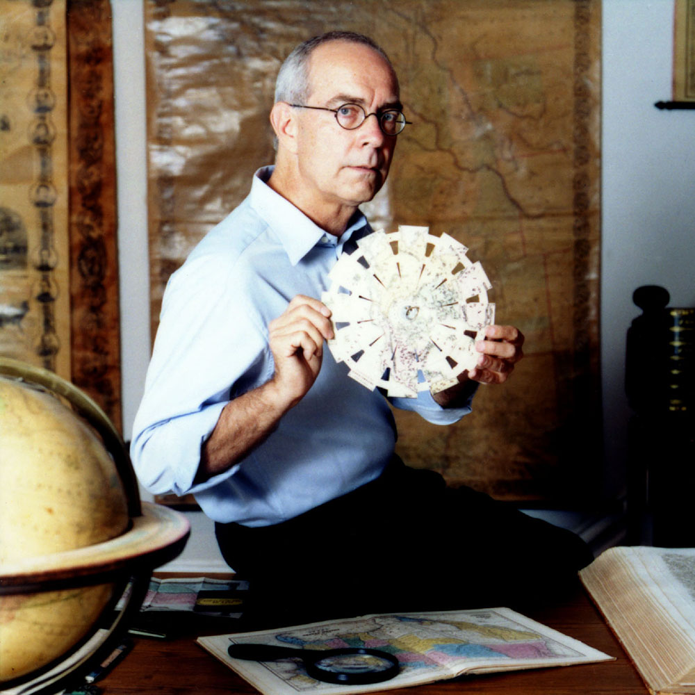
With Townsend's 1870 Folding Globe
|
Rumsey’s digital initiatives were advanced through the use of the Luna Viewer, custom interfaces, and collaborations with platforms like Google Earth, Google Maps, Second Life, and ESRI, enabling historical maps to be overlaid onto modern landscapes. His website incorporates tools like Georeferencer to allow users to align old maps with modern geography.
Notable items in the Rumsey Collection include the 1816 Melish Map of the United States—the first map showing the U.S. extending to the Pacific—the 1733 Popple Map of North America, rare Japanese maps like the 1710 Nanzenbushu bankoku shoka, and atlases by famed cartographers such as Abraham Ortelius, John Arrowsmith, and the Colton Family. These artifacts offer vital insights into historical geographic and cultural perspectives.
In 2016, Rumsey donated his physical and digital map collection to Stanford University. The donation led to the creation of the David Rumsey Map Center within the Stanford Library, a space that integrates historical materials with modern digital technologies such as interactive map walls.
Rumsey’s work has significantly influenced the history of cartography by democratizing access to historical maps and encouraging new methods of engagement through digital tools. His efforts have been recognized with numerous awards, including the Special Libraries Association Honors Award and a Webby Award for Technical Achievement. His work has been featured in major publications such as Wired, MIT Technology Review, San Francisco Chronicle 2004 and 2021, Mercator's World, and The New York Times. John Hessler interviewed Rumsey in 2023.
|
|
|
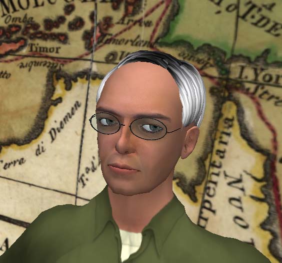
Map Darwin, Rumsey's avatar in Second Life
|
He has lectured internationally at leading institutions and conferences, including the Library of Congress, New York Public Library, Stanford University, Harvard University, and events in Hong Kong, Mexico, Japan, the United Kingdom, and Germany, as well as at Where 2.0, OSCON, and Digital Library Federation. He has served on the boards of the John Carter Brown Library, the Internet Archive, The Long Now Foundation, the American Antiquarian Society, CLIR, Yale Library Associates, and the Samuel H. Kress Foundation.
In addition to his map initiatives, Rumsey co-authored Cartographica Extraordinaire (ESRI Press, 2005) with Edith Punt, contributing to scholarship at the intersection of cartography, digital libraries, and information technology.
Recently, Rumsey has partnered on various projects with the Rumsey Map Center at Stanford, Luna Imaging of Los Angeles, Klokan Technologies of Zug, Switzerland, Knowledge Computing Lab, UMIN, Berhard Jenny Lab at Monash University, Bot and Rose Design, and Katherine McDonough and the Alan Turing Institute, London. These relationships have enabled adding various tools to the map database such as searching for text on maps, Interactive Globes, Georeferencing and Old Maps Online, Globes App for Apple Vision Pro, and recently completed - the addition of Conversational AI to the online Luna database. In 2026 Rumsey received the IMCoS Helen Wallis Award for contributions to the field of cartography worldwide.