Search results from Blog
12 results found for: KDR
March 18, 2011 - 1,634 New Maps Added
1,634 new maps and images have been added to the David Rumsey Map Collection, bringing the online collection to over 26,000 maps and images. Included in this addition are five issues of Colton's General Atlas of the World dated from 1865 to 1886. Also two editions of Schonberg's Standard Atlas of the World, 1865 and 1867. Sheets from two national surveys: six composite images of the entire Wheeler Survey of the U.S. West, 1876, and the first 338 sheets of the massive 19th century survey of G... Read full article
Karte des Deutschen Reiches 1893 (Map of the German Empire)
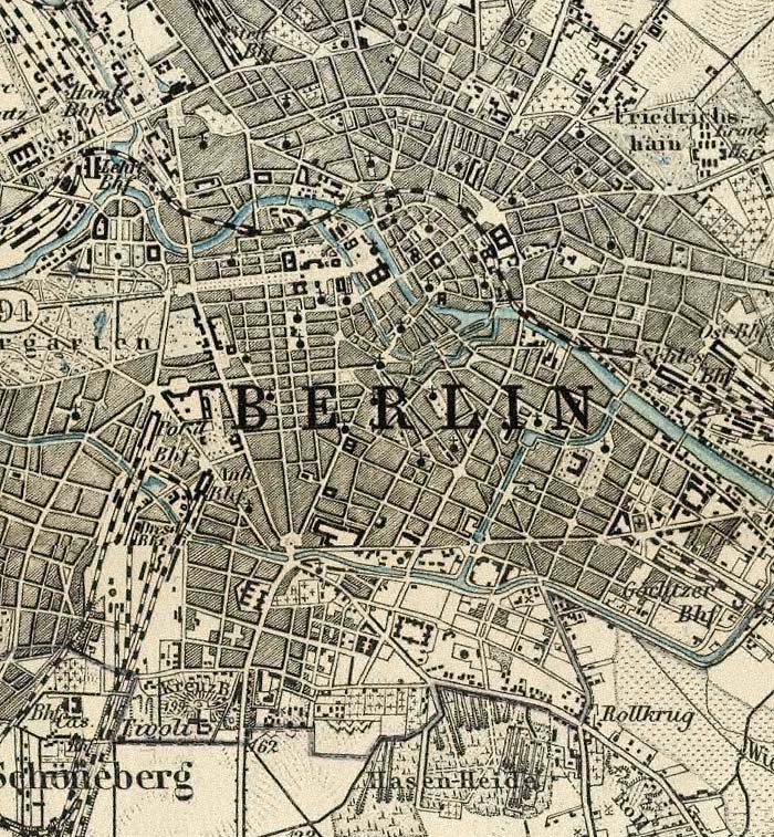
The Karte des Deutschen Reiches 1893 consists of 674 sheets at a scale of 1:100,000. All sheets join together to make a huge, highly detailed and historically significant map of about 1,155 cm x 980 cm (38 ft x 32 ft), covering all of present day Germany and much of present day Poland. The maps show the landscape as it was at the end of the 19th century. We have completed the process of scanning all the sheets individually as well as making a very large digital composite image of all 674 she... Read full article

David Rumsey Map Center at Stanford Library
The David Rumsey Map Center at Stanford Library opened on April 19, 2016. It houses the entire David Rumsey Map Collection as well as a growing number of other collections: the Glen McLaughlin Collection of maps of California as an Island, the Dr. Oscar I. Norwich Collection of Maps of Africa and over 10,000 antiquarian maps collected over the years by Stanford Special Collections. The Rumsey Map Center is open to the public on weekdays from 1-5pm and weekday mornings by appointment. The Cen... Read full article
First Atlas of Russia, Published in 1745
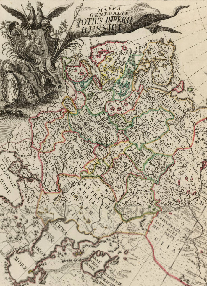
The first Atlas of Russia from 1745 has been added to the online collection. It was published by the Academy of Sciences in St. Petersburg, Russia, expanding on the cartographic work done previously by Russian cartographer Ivan K. Kirilov. Joseph Nicolas de L'Isle, the great French astronomer, was invited by the Academy of Sciences in 1726 to come to St. Petersburg to oversee the production of the atlas, although his role and contributions to the atlas are disputed by historians. The atlas ma... Read full article

August 1, 2008 - 1,038 New Maps Added
The following are highlights from 1,038 New Maps added to the David Rumsey Collection. All titles may be found by clicking on the View links below. Or click here to view all 1,038 new maps. Carte de la France 1790 Cassini, Cesar-Francois, 1714-1784; Capitaine, Louis, ca. 1749-ca. 1797; Cassini family, Paris 5 maps. These maps are a 24 sheet reduction of Cassini's 182 sheet 1750 map, joined together in 4 large sheets of 6 maps each. Includes the key to symbols used in the large Cassini survey.... Read full article

Largest Early World Map - Monte's 10 ft. Planisphere of 1587
An extraordinary 60 sheet manuscript world map made in 1587 by Urbano Monte has been added to the David Rumsey Map Collection at Stanford University. At 10 foot square, this map or planisphere is the largest known early map of the world. It was hand drawn by Monte in Milan, Italy, and only one other manuscript copy exists. The digitally joined 60 sheet map image below is the first time the map Monte made has been seen as one unified map - as Monte intended - in the 430 years since it was cre... Read full article

Coordinates Maps and Art Exhibit Opens at Stanford's David Rumsey Map Center
The David Rumsey Map Center at Stanford Libraries for the first time has borrowed art from artists and institutions around the country, pairing their pieces with cartographic material from its collection for Coordinates: Maps and Art Exploring Shared Terrain. The exhibition features a variety of ways in which the two mediums overlap in inquiries about space, both geographical and metaphorical. The exhibition opened on Thursday April 25, 2019 with a daylong symposium and reception. The exhibi... Read full article
March 13, 2012 - 1,596 New Maps Added
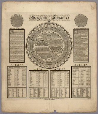
1,596 new maps and images have been added to the David Rumsey Map Collection, bringing the online collection to 30,599 maps and images. Included in this addition is Bowles' 1733 Geography Epitomiz'd, an early example of information visualization; Abraham Bradley's 1805 Post Road Map of the United States; Aaron Arrowsmith's General Atlas of 1817; a group of U.S. Mexican War broadsides and maps; Mitchell's 1855 Universal Atlas; a group of 214 individual maps, charts, broadsides, ephemera, and ... Read full article
June 24, 2012 - 1,828 New Maps Added
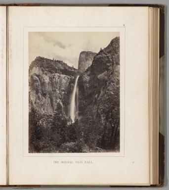
1,828 new maps and images have been added to the David Rumsey Map Collection, bringing the online collection to 32,413 maps and images. Included in this addition are early Yosemite guide books; the Allgemeiner Schulatlas, 1825, a remarkable German school atlas; 216 Maps and Images from Pocket Maps, 1825 - 1920; 12 U.S. County Atlases, 1864 - 1890; The Times Atlas of the World Mid-Century Edition, 1959; Atlas of the United States Printed for the Use of the Blind, 1837; 30 U.S. Civil War maps ... Read full article
August 19, 2013 - 5,359 New Maps Added
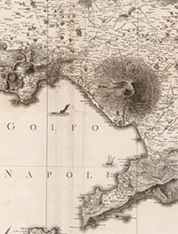
5,359 new maps and images have been added to the David Rumsey Map Collection, bringing the online collection to 42,725 maps and related images. Highlights in this addition are Rizzi Zannoni's 1808 Atlante geografico del regno di Napoli; a very early geography game from France, Le Jeu du Monde of 1645; several World Atlases by Stieler; 60 Maritime Charts from the United States Exploring Expedition, 1850; over 900 topographical and geological maps from the 19th and 20th century published by th... Read full article
February 11, 2013 - 2,745 New Maps Added
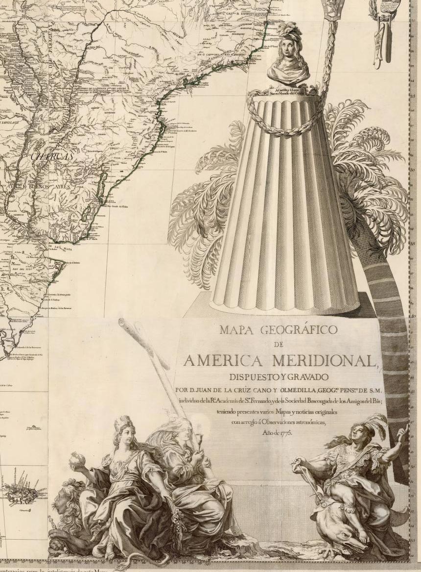
2,745 new maps and images have been added to the David Rumsey Map Collection, bringing the online collection to 37,365 maps and related images. Highlights in this addition are Cruz Cano's large wall map of South America 1775, two miniature atlases from 1758 and 1762, maps by Aaron Arrowsmith, a large group of pocket maps, an important large wall map of Georgia 1818, three copies of Tanner's American Atlas 1823, 1824, 1833, 63 birds-eye views of the Austrian countryside around Vienna 1837, E... Read full article
Online Rumsey Maps Reach 105,000. Part Two - 2017 Additions
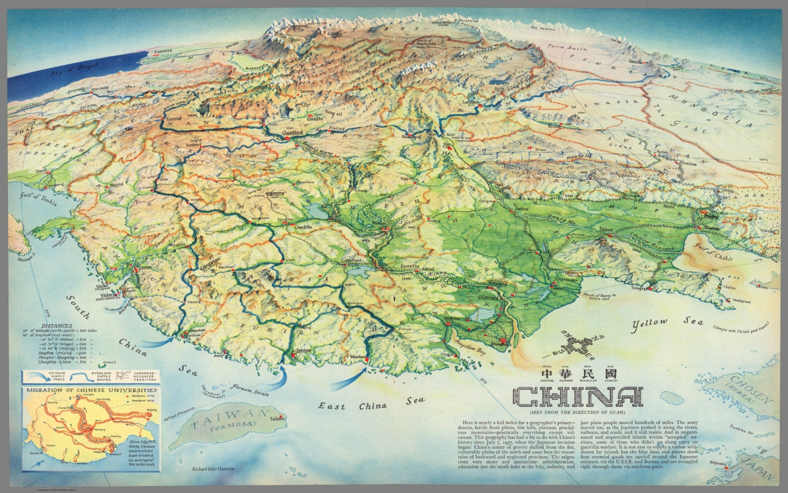
This is Part Two of the blog post documenting the 46,000 new maps and images that have been added online since 2015. The total online collection is now over 105,000. This post covers 50 highlights of additions made in 2017. Later posts will cover the additions made in 2018, 2019, and 2020. All titles may be found by clicking on the View links or images below. China : Chung Hue Min Kuo = central flowery republican country. (Seen from the direction of Guam). Richard Edes Harrison. (inset) ... Read full article