Detail View: David Rumsey Historical Map Collection: Text: Polynésie (1).
|
Author:
|
Pelet, Paul, 1849-1927
|
|
Author:
|
Challamel, Augustin, 1818-1894
|
|
Date:
|
1891
|
|
Short Title:
|
Text: Polynésie (1).
|
|
Publisher:
|
Librairie Coloniale
|
|
Publisher Location:
|
Paris
|
|
Type:
|
Text Page
|
|
Obj Height cm:
|
26
|
|
Obj Width cm:
|
19
|
|
Note:
|
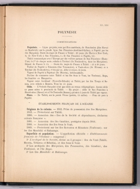
Descriptive text within Nouvel atlas des colonies Françaises by Paul Pelet, published in Paris, 1891. Title translates to: Polynesia. Section titles: Communications -- Établissements Français de l'Océanie [= French establishments in Oceania]. First of three pages in section XX, XXI. Text followed by maps of the same title, on subsequent plates (No 20 and 21).
|
|
Full Title:
|
(Text Page to) Polynésie (1).
|
|
List No:
|
14300.061
|
|
Page No:
|
XX, XXI
|
|
Series No:
|
61
|
|
Engraver or Printer:
|
Firmin-Didot (Firm)
|
|
Publication Author:
|
Pelet, Paul, 1849-1927
|
|
Publication Author:
|
Challamel, Augustin, 1818-1894
|
|
Pub Date:
|
1891
|
|
Pub Title:
|
Nouvel atlas des colonies Françaises dressé par ordre de l'Admiistration des Colonies par Paul Pelet, Professeur de Géographie Coloniale a l'École des Sciences Politiques Membre du Comité Géographique des Colonies. Paris, Augustin Challamel, Éditeur, Librairie Coloniale. 5, rue Jacob, et Rue Furstenberg, 2. 1891.
|
|
Pub Note:
|
Nouvel atlas des colonies Françaises dressé par ordre de l'Admiistration des Colonies par Paul Pelet, published in Paris, 1891. Title translates to: New atlas of the French colonies drawn up by order of the Colonial Administration by Paul Pelet. Bound in navy-colored board with title, author and editor gilded on front cover. Collation: 4° : volume 1 : [viii], [xxxiv], 740 pages, [30] leaves of plates, including 1 fold-out ; vol. 2 : xii, 120, cxliv, [CIII] pages, [20] leaves of plates. Contains twenty-four plates with maps, including one overview world map with French colonies around the globe. Maps divided into six sections: [World] -- Afrique -- Océan Indien -- Indochine -- Océanie -- Amérique. Maps show place names, transportation routes, topography, lakes, drainage, coastlines, ports and islands. Each map accompanied by descriptive text preceding plate. Includes a table of contents, which follows text and maps.
|
|
Pub List No:
|
14300.000
|
|
Pub Type:
|
Regional Atlas
|
|
Pub Maps:
|
24
|
|
Pub Height cm:
|
27
|
|
Pub Width cm:
|
21
|
|
Image No:
|
14300061.jp2
|
|
Download 1:
|
|
|
Download 2:
|
|
|
Authors:
|
Pelet, Paul, 1849-1927; Challamel, Augustin, 1818-1894
|