COLLECTION NAME:
David Rumsey Historical Map Collection
Record
Author:
United States. Post Office Department
Date:
1879
Short Title:
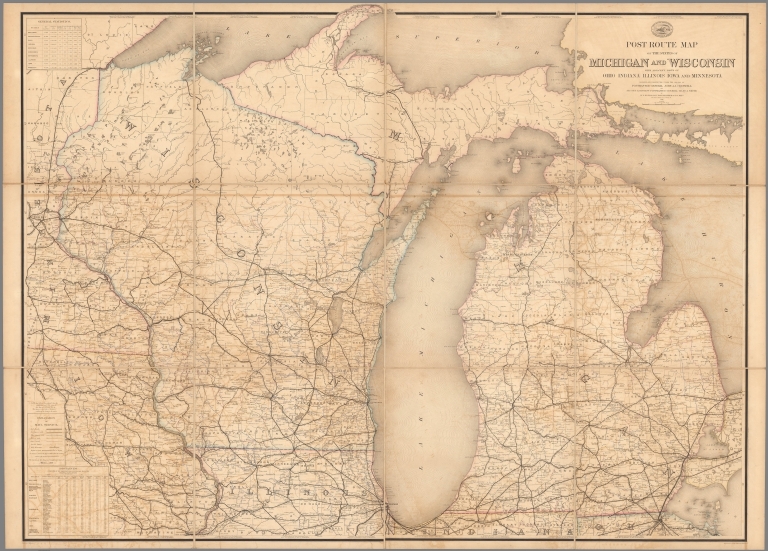
Post Route Map of States of Michigan and Wisconsin.
Publisher:
United States Post Office Department
Publisher Location:
(Washington D.C.)
Type:
Separate Map
Obj Height cm:
105
Obj Width cm:
144
Scale 1:
633,600
Note:
Updated to 1879 from 1871. 12 panels.
State/Province:
Michigan
State/Province:
Wisconsin
Subject:
Postal
Subject:
Railroad
Full Title:
Post Route Map of States of Michigan and Wisconsin with Adjacent Parts of Ohio, Indiana, Illinois, Iowa and Minnesota.
List No:
10438.002
Series No:
2
Engraver or Printer:
D.M. McClelland
Engraver or Printer:
C.H. Poole
Publication Author:
United States. Post Office Department
Pub Date:
1879
Pub Title:
Post Route Map of States of Michigan and Wisconsin with Adjacent Parts of Ohio, Indiana, Illinois, Iowa and Minnesota.
Pub Note:
Part of a set of 8 maps made up specially by the Post Office for the New York Central Railroad Company. The set is 10433.000, 10434.000, 10435.000, 10436.000, 10437.000, 10438.000, 10439.000, 10440.000.
Pub List No:
10438.000
Pub Type:
Separate Map
Pub Maps:
11
Pub Height cm:
43
Pub Width cm:
53
Image No:
10438002.jp2
Authors:
United States. Post Office Department
Post Route Map of States of Michigan and Wisconsin.
