
|
|
|
Cover: Union and Central Pacific RR line. Union Pacific Railroad Company; Central Pacific Railroad Company, 1871
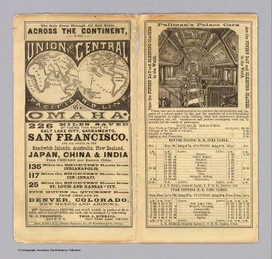 View larger, zoomable image (turn off pop-up blocker) Full Title: (Covers to) The only great through all rail route is the Union and Central Pacific R.R. line via Omaha ... Rand, McNally & Co., Printers Engravers, etc., 108 West Randolph St., Chicago ... Through time table, in effect January 1, 1872. Author: Union Pacific Railroad Company; Central Pacific Railroad Company Date: 1871 This historical cartographic image is part of the David Rumsey Historical Map Collection, www.davidrumsey.com, a large collection of online antique, rare, old, and historical maps, atlases, globes, charts, and other cartographic items. Read more about the Collection. Or you can view the entire David Rumsey Map Collection in Insight. Full David Rumsey Map Collection Catalog Record: Author: Union Pacific Railroad Company; Central Pacific Railroad Company Date: 1871 Short Title: Cover: Union and Central Pacific RR line. Publisher: Chicago: Rand McNally & Co. Type: Covers Object Height cm: 18 Object Width cm: 10 State / Province: California ; Utah Subject: Railroad Full Title: (Covers to) The only great through all rail route is the Union and Central Pacific R.R. line via Omaha ... Rand, McNally & Co., Printers Engravers, etc., 108 West Randolph St., Chicago ... Through time table, in effect January 1, 1872. List No: 4107A Series No: 1 Engraver or Printer: Rand McNally and Company. Published In: The only great through all rail route is the Union and Central Pacific R.R. line via Omaha ... Rand, McNally & Co., Printers Engravers, etc., 108 West Randolph St., Chicago ... Through time table, in effect January 1, 1872. (with) Map of rail & stage route to Big Tree Groves and Yosemite. (with) New mining map of Utah compiled from U.S. Govt. Surveys ... Nat. Railway Public Co., Philadelphia. Publication Author: Union Pacific Railroad Company; Central Pacific Railroad Company Publication Date: 1871 Publication Note: An earlier Rand McNally time table for the Union and Central Pacific Railroads. Includes a small map of the mining districts around Salt Lake City (scale ca. 1:1,800,000), with an ad for Froiseth's New Sectional and Mineral Map of Utah. There is also a small map of Rail & stage route to Big Tree Groves and Yosemite (scale ca. 1:1,900,000). And present is the usual promotional text regarding railroad lands for sale, with enticing views of scenery along the railroad route. Folded into self wrappers 18 x 8, printed without color. Publication List No: 4107.000 Publication Type: Timetable Map Publication Maps: 2 Publication Height cm: 17 Publication Width cm: 89 Image No: 4107A
Important!
The Insight® Browser and Java client software are products of Luna Imaging, Inc. If you have comments, suggestions, or need help, contact The David Rumsey Collection at home | about | view the
collection | recent
additions | news | help |
