Full Title
Proportion of urban to total population, by states and territories, at each census. (Prepared under the supervision of Henry Gannett, Geographer of the Twelfth Census. United States Census Office, 1903). Julius Bien & Co., N.Y.
List No
2152.020
Note
Lithographed graphs.
Full Title
Constituents of the population of states and territories: 1900. (Prepared under the supervision of Henry Gannett, Geographer of the Twelfth Census. United States Census Office, 1903). Julius Bien & Co., N.Y.
List No
2152.043
Note
Color lithographed chart. Constituents are native white of native parents, native white of foreign parents, foreign white, Indians, Chinese and Japanese, and Negro.
Full Title
Proportion of foreign born of each leading nationality, by states and territories: 1900. (Prepared under the supervision of Henry Gannett, Geographer of the Twelfth Census. United States Census Office, 1903). Julius Bien & Co., N.Y.
List No
2152.063
Note
Color lithographed chart.
Full Title
1. Total foreign born at each census with the number of each leading nationality: 1850 to 1900. 2. Proportion which each of the leading nationalities bears to the total foreign born at each census: 1850 to 1900. (Prepared under the supervision of Henry Gannett, Geographer of the Twelfth Census. United States Census Office, 1903). Julius Bien & Co., N.Y.
List No
2152.058
Note
Two color lithographed charts.
Full Title
Conjugal condition of the population by age and sex, in proportions of the total number of each age group. Aggregate population: 1900. Aggregate population: 1890. Native white of native parents: 1900. Native white of foreign parents: 1900. (Prepared under the supervision of Henry Gannett, Geographer of the Twelfth Census. United States Census Office, 1903). Julius Bien & Co., N.Y.
List No
2152.077
Note
Four color lithographed graphs.
Full Title
Proportion of deaths in each month and the relative proportions at all ages and at specified age groups: 1900. All ages, Under 5, 5 to 9, 60 and over. (Prepared under the supervision of Henry Gannett, Geographer of the Twelfth Census. United States Census Office, 1903). Julius Bien & Co., N.Y.
List No
2152.113
Note
Four charts. Lithographed.
Full Title
1. Death rates from cerebro-spinal fever in each month for cities and rural districts of the registration states: 1900. 2. Comparative proportion of deaths from cerebro-spinal fever and erysipelas at each age in the registration area: 1900 and 1890. (Prepared under the supervision of Henry Gannett, Geographer of the Twelfth Census. United States Census Office, 1903). Julius Bien & Co., N.Y.
List No
2152.118
Note
Four charts. Lithographed.
Full Title
Comparative proportion of deaths from diabetes, scrofula and tabes, and cancer at each age in the registration area: 1900 and 1890. (Prepared under the supervision of Henry Gannett, Geographer of the Twelfth Census. United States Census Office, 1903). Julius Bien & Co., N.Y.
List No
2152.121
Note
Three charts. Lithographed.
Full Title
Map showing the centers of population from 1790 to 1900 and centers of farms, agricultural products and manufactures from 1850 to 1900. (Prepared under the supervision of Henry Gannett, Geographer of the Twelfth Census. United States Census Office, 1903). Julius Bien & Co., N.Y.
List No
2152.126
Note
Color lithographed map.
Author
Hamel, P.W.
Full Title
Plan and section of cave in Cave Valley, Southeastern Nevada. Surveyed by P.W. Hamel, 1869. Drawn by Weyss & Thompson. The Graphic Co., N.Y. (1889)
List No
2220.001
Note
Lithographed map, sepia toned. Relief shown by hachures. Vertical scale of plan ca. 1:1,589.
Author
Poussin, Guillaume Tell, 1794-1876
Full Title
Carte generale de la Floride et du Delta du Mississippi, presentant le trace du canal projete de l'Ocean Atlantique au Golfe du Mexique, a travers l'Isthme des Florides, ainsi qui l'ensemble des ameliorations projetees ou en cours d'execution qui one ete recommandees par la Commission des ameliorations interieures pour completer le systeme de navigation interieure parallele a la cote. (with) Entree du Fleuve St. Jean. (with) Entree de la Rade et de la Riviere Ste. Marie. (with) Entree du Port Ste. Augustine. Dessine par le Major Poussin. Grave par (V.?) Adam. (1834)
List No
2329.007
Note
Engraved map with 3 insets. Insets numbered Fig. 1-3. Includes profile in 2 segments.
Author
Poussin, Guillaume Tell, 1794-1876
Full Title
Canal Morris. Plan du trace et profiles du canal. Etat du New-Jersey. Dessine par le Major Poussin. Grave par (V.?) Adam. (1834)
List No
2329.004
Note
Engraved map. Relief shown by hachures.
Full Title
The World on a globular projection. A chart exhibiting the progress of Christianity from the birth of our Saviour to the present time. Entered according to act of Congress. (1837)
List No
2430.002
Note
Engraved double hemisphere map and graph. Hand colored.
Full Title
A chart exhibiting the comparative size, population, form of government and number of square miles in each of the principal empires, kingdoms &c. of the globe, also the manner of building among the different nations according to their civilization. To accompany Olney's Geography. Entered according to act of Congress.
List No
2430.013
Note
Engraved chart with 4 illustrations. Hand colored. Views: Indian village -- Morocco -- Constantinople -- New York.
Author
Colles, Christopher
Full Title
From Poughkeepsie to Albany. (14)
List No
2467.014
Note
Without color.
Full Title
Western Hemisphere. (Boston: Gray & Bowen ... 1831)
List No
2468.001
Note
Uncolored engraved map. Shows clouds, moon, sun, etc. surrounding this hemispheric view.
Full Title
Eastern Hemisphere. (Boston: Gray & Bowen ... 1831)
List No
2468.002
Note
Uncolored engraved map. Shows clouds, moon, sun, etc. surrounding this hemispheric view.
Author
Mitchell, Samuel Augustus
Full Title
A time table indicating the difference in time between the principal cities of the World and also showing their air-line distance from Washington. Entered ... 1864 by S. Augustus Mitchell, Jr. ... Pennsylvania. (1870)
List No
2483.002
Note
Hand colored lithograph.
Author
Campbell, R.A.
Full Title
Climatological map of the state of Illinois showing the isothermal lines. Comparative amount of rainfall &c. Prepared expressly for Campbell's Illinois atlas. (Drawn by R.A. Campbell and H.F. Walling). Entered ... 1869 by R.A. Campbell ... Pennsylvania. (1870)
List No
2483.088
Note
Hand colored in black and shades of gray. Prime meridians: Greenwich and Washington.
Author
[Campbell, R.A., Worthen, Amos Henry, 1813-1888]
Full Title
Worthens new geological map of Illinois. Prepared expressly for Campbell's Illinois atlas. (Drawn by R.A. Campbell and H.F. Walling). Entered ... 1869 by R.A. Campbell ... Pennsylvania. (1870)
List No
2483.089
Note
Hand colored map. Shows 8 geologic units (Tertiary, Coal measures, Lower Carboniferous, Devonian, Upper Silurian, Cincinnati Group, Trenton Limestone and Calciferous Group). Prime meridians: Greenwich and Washington.
Author
[Andriveau-Goujon, J., Baily, Francis, 1774-1844]
Full Title
Les etoiles fixes divisees en constellations boreales et australes d'apres le catalogue de Sir Francis Baily, President de la Societe Astronomique de Londres. Publie par J. Andriveau-Goujon, Rue du Bac, no. 17, Paris, 1850.
List No
2486.001
Note
Includes descriptive text. Hand col. Three maps (2 hemispheres and 1 rectangular) on 1 sheet. "Atlas universel, no. 1."
Author
[Andriveau-Goujon, J., Bruguiere, Louis]
Full Title
Tableau comparatif de la forme et de la hauteur des principales montagnes du globe terrestre, dedie a Monsieur le Baron, Alexdre. de Humboldt. A Paris, chez J. Andriveau-Goujon, Rue du Bac, no. 17. Par son tres humble et tres obeissant serviteur Louis Bruguiere. Grave par Ambroise Tardieu. (1850)
List No
2486.043
Note
Hand col. Vertical scale noted above. Scale and key on sides. "Atlas universel, no. 44."
Author
Berghaus, Heinrich
Full Title
Hydro-Historische Darstellung vom Zustande der Elbe in dem Halbjahrhundert 1731-1780. 2te Abtheilung: Hydrographie, No. 11. Nach Berghaus' Entwurf gez. von G. Haase. Gestochen von K. Kolbe. Gotha, J. Perthes. 1837.
List No
2515.022
Note
Historical chart of the Elbe River including average and high water level, as well as the ice levels.
Author
Woodbridge, William C.
Full Title
Moral & political chart of the inhabited World; exhibiting the prevailing religion, form of government, degree of civilization, and population of each country. By W.C. Woodbridge. Entered ... 28th day of September 1821 by Wm. C. Woodbridge ... Connecticut. (1837?)
List No
2573.002
Note
Engraved map. Includes inset map "Central Europe" and table "Distribution of mankind with their races & religions, 1826." Prime meridians: Philadelphia and London.
Author
Woodbridge, William C.
Full Title
Chart of the principal animals of the World in their respective regions. By W.C. Woodbridge. Entered ... 1831, by William C. Woodbridge ... Connecticut. (1837?)
List No
2573.005
Note
Engraved pictorial map. Includes inset of Australia and surroundings.
Author
Woodbridge, William C.
Full Title
Isothermal chart, or view of climates & productions; drawn from the accounts of Humboldt & others, by W.C. Woodbridge. Entered ... 15th day of January, 1823, by William C. Woodbridge ... Connecticut. (1837?)
List No
2573.004
Note
Engraved map. Hand colored. Shows climate zones with plant products.
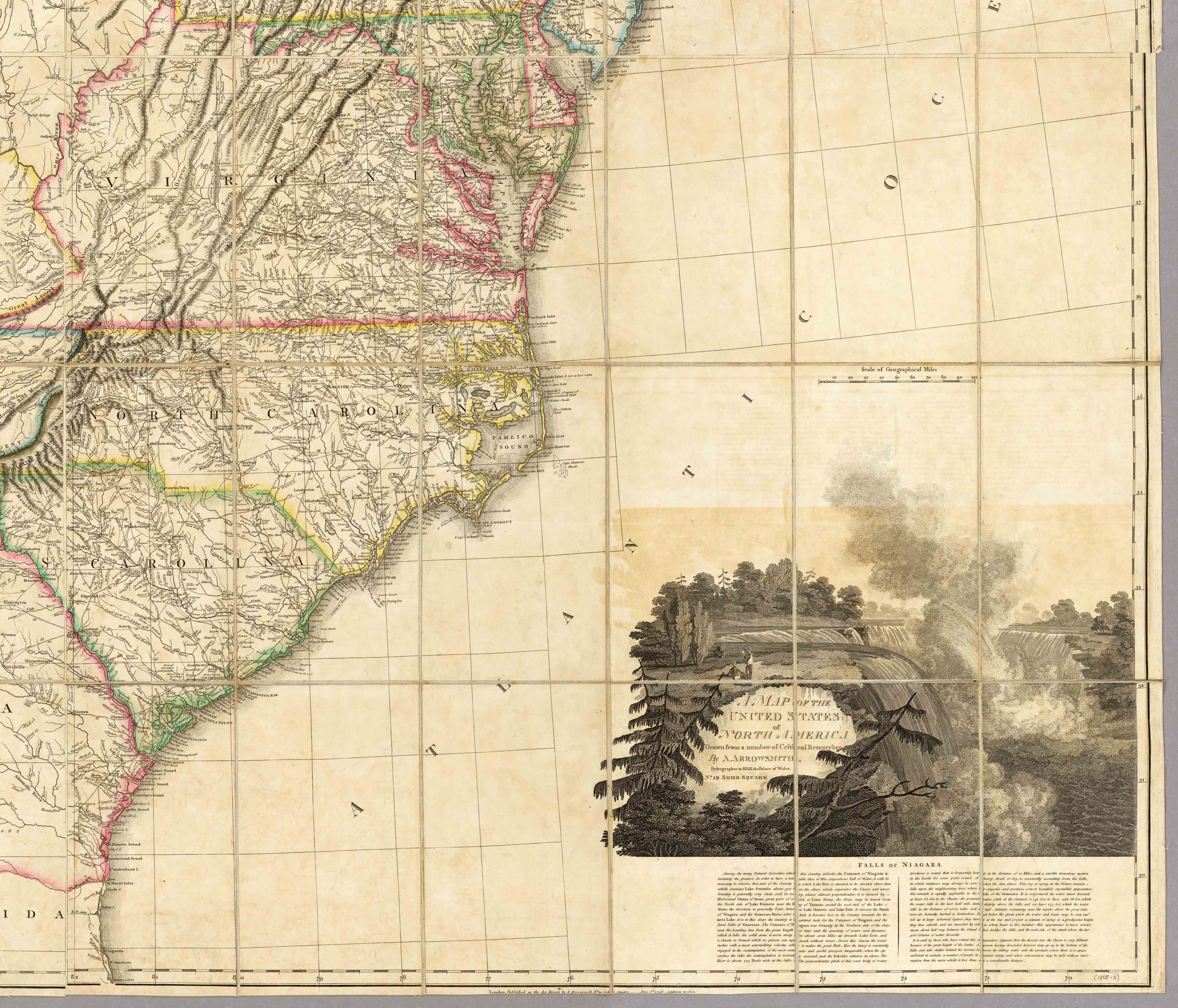
Title
Arrowsmith_Large_1808
Originating Url
http://www.flickr.com/photos/davidrumsey/179849882/
Copyright
All Rights Reserved
|