|
Author
Servoss, R. D.
Full Title
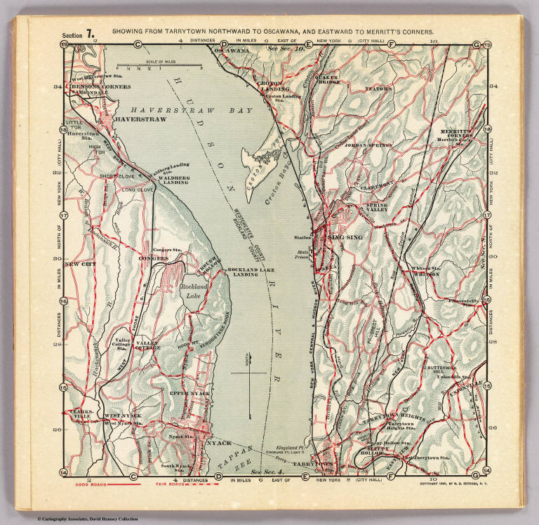
Section 7. Showing from Tarrytown northward to Oscawana, and eastward to Merritt's Corners. Copyright 1895, by R.D. Servoss.
List No
3889.008
Note
Col. map. Relief shown by hachures. Shows good and fair roads, ferries, etc.
Author
Servoss, R. D.
Full Title
Section 2. Showing from Harlem northward to Yonkers, and eastward to Pelham Manor. (1902)
List No
3890.003
Note
Relief shown by hachures. Shows good, fair and ordinary roads, etc.
Author
Servoss, R. D.
Full Title
Section 4. Showing from Yonkers northward to Tarrytown, and eastward to Hartsdale. (1902)
List No
3890.005
Note
Relief shown by hachures. Shows good, fair and ordinary roads, etc.
Author
Servoss, R. D.
Full Title
Section 7. Showing from Tarrytown northward to Oscawana, and eastward to Merritt's Corners. (1902)
List No
3890.008
Note
Relief shown by hachures. Shows good, fair and ordinary roads, etc. Includes part of Rockland County, N.J. from Nyack to Haverstraw.
Author
Tanner, Henry S.
Full Title
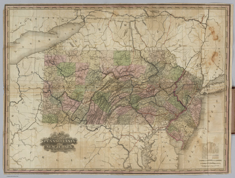
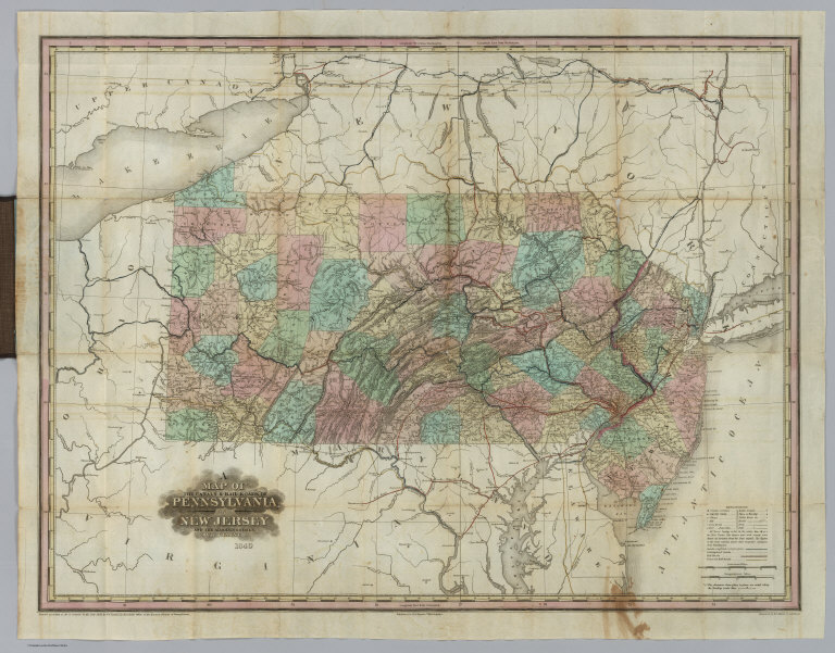
(Covers to) A Brief Description Of The Canals And Rail Roads Of Pennsylvania And New Jersey, Comprehending Notices Of All The Most Important Works Of Internal Improvements, In Those States. By H.S. Tanner. Philadelphia: Published By The Author, November, 1834. (on verso) Entered ... 1834, by H.S. Tanner ... Pennsylvania. Joseph & William Kite, Printers. (with) A Map Of The Canals & Rail Roads Of Pennsylvania And New Jersey And The Adjoining States. By H.S. Tanner. Published by H.S. Tanner ... Entered ... 1833, by H.S. Tanner ... Pennsylvania. Engraved by H.S. Tanner & Assistants.
List No
3942.001
Note
One of the earliest canal and railroads guides of these two states. The map is based on the 1823 atlas map and the later 1830 edition published separately (see our copy). Full color. Map and guide are in brown leather covers with "Canals & Railroads Of Penna. & Jersey." stamped in gold on the front. Prime meridians are Washington D.C. and Greenwich. Relief shown by hachures.
Author
Tanner, Henry S.
Full Title
(Title Page to) A Brief Description Of The Canals And Rail Roads Of Pennsylvania And New Jersey, Comprehending Notices Of All The Most Important Works Of Internal Improvements, In Those States. By H.S. Tanner. Philadelphia: Published By The Author, November, 1834. (on verso) Entered ... 1834, by H.S. Tanner ... Pennsylvania. Joseph & William Kite, Printers. (with) A Map Of The Canals & Rail Roads Of Pennsylvania And New Jersey And The Adjoining States. By H.S. Tanner. Published by H.S. Tanner ... Entered ... 1833, by H.S. Tanner ... Pennsylvania. Engraved by H.S. Tanner & Assistants.
List No
3942.002
Note
One of the earliest canal and railroads guides of these two states. The map is based on the 1823 atlas map and the later 1830 edition published separately (see our copy). Full color. Map and guide are in brown leather covers with "Canals & Railroads Of Penna. & Jersey." stamped in gold on the front. Prime meridians are Washington D.C. and Greenwich. Relief shown by hachures.
Author
Tanner, Henry S.
Full Title
A Map Of The Canals & Rail Roads Of Pennsylvania And New Jersey And The Adjoining States. By H.S. Tanner. Published by H.S. Tanner ... Entered ... 1833, by H.S. Tanner ... Pennsylvania. Engraved by H.S. Tanner & Assistants. (with) A Brief Description Of The Canals And Rail Roads Of Pennsylvania And New Jersey, Comprehending Notices Of All The Most Important Works Of Internal Improvements, In Those States. By H.S. Tanner. Philadelphia: Published By The Author, November, 1834. (on verso) Entered ... 1834, by H.S. Tanner ... Pennsylvania. Joseph & William Kite, Printers.
List No
3942.003
Note
One of the earliest canal and railroads guides of these two states. The map is based on the 1823 atlas map and the later 1830 edition published separately (see our copy). Full color. Map and guide are in brown leather covers with "Canals & Railroads Of Penna. & Jersey." stamped in gold on the front. Prime meridians are Washington D.C. and Greenwich. Relief shown by hachures.
Author
National Map Company
Full Title
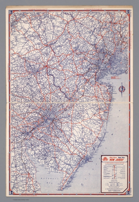
New Jersey. (Copyrighted by) National Map Company, Indianapolis. (to accompany) Official Paved Road and Commercial Survey of the United States. (inset map) Hudson.
List No
4048.022
Note
Outline color map with inset. Shows administrative divisions, roads, waterways, rivers, etc. Relief shown by hachures. Prime meridian is Greenwich.
Author
Barnes, R.L.
Full Title
(Covers to) Barnes's Rail Road, Canal & County Map Of Pennsylvania, New Jersey & Adjoining States. Published by R.L. Barnes No. 27 Sth. 6th St. Philadelphia 1865. Entered ...1864 by R.L. Barnes ... Pennsylvania.
List No
4061.001
Note
The Allegheny River and its headwaters in Venango County are colored red (which appears to have been done by the map publisher), probably indicating oil activity. Outline color. Map is folded into textured dark brown cloth covers 15.5x10.5 with "Barnes's Map Of Pennsylvania" stamped in gilt.
Author
Barnes, R.L.
Full Title
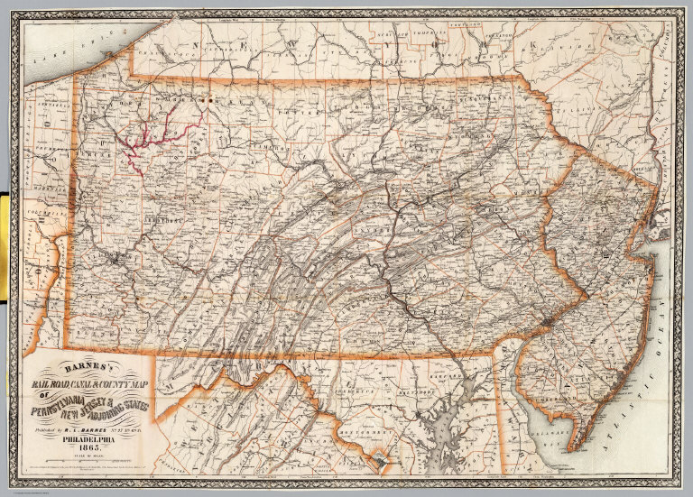
Barnes's Rail Road, Canal & County Map Of Pennsylvania, New Jersey & Adjoining States. Published by R.L. Barnes No. 27 Sth. 6th St. Philadelphia 1865. Entered ...1864 by R.L. Barnes ... Pennsylvania.
List No
4061.002
Note
Outline color. Map is folded into textured dark brown cloth covers 15.5x10.5 with "Barnes's Map Of Pennsylvania" stamped in gilt. The Allegheny River and its headwaters in Venango County are colored red (which appears to have been done by the map publisher), probably indicating oil activity. Relief shown by hachures. Prime meridian is Washington.
Author
[DeSilver, Robert, Payne, John]
Full Title
(Covers to) (Untitled Pocket Atlas of Four Maps). (with) Map of Rhode-Island. Published In 1826. W. Barker sculp. Philada. (with) Map of Connecticut, Published In 1826. A. Anderson, Del. (with) State Of New Jersey. Engraved for New Encyclopedia Published by J. Low, New York. W. Barker sculp. Philada. (with) The State of South Carolina from the best Authorities 1831. Engraved for New Encyclopedia ... (map cut off below this point).
List No
4075.001
Note
An untitled pocket atlas containing four maps (probably had five originally - Georgia is listed on the cover and not present). The four maps are titled: Map of Rhode Island Published in 1826; Map of Connecticut Published in 1826; State of New Jersey (no date); and The State of South Carolina from the best Authorities 1831. The maps show no changes from the 1800 issues by Payne, other than the dates on the dated maps, and the water (engraved more darkly) on the Rhode Island map. Several of the maps say Engraved for New Encyclopedia published by J. Low, New York. The authorship of Robert Desilver is a guess - the maps have the look of his "effort to freshen old wares" (Thompson) that is seen in his reissue of the Carey maps in 1828. The Connecticut map is full color by county, the other three are outline color by county. All four are folded into blue card board covers 10x7 with remnants of paste down labels reading "Rhode" and "Georgia."
Author
[DeSilver, Robert, Payne, John]
Full Title
State of New Jersey
List No
4075.002
Note
An untitled pocket atlas containing four maps (probably had five originally - Georgia is listed on the cover and not present). The four maps are titled: Map of Rhode Island Published in 1826; Map of Connecticut Published in 1826; State of New Jersey (no date); and The State of South Carolina from the best Authorities 1831. The maps show no changes from the 1800 issues by Payne, other than the dates on the dated maps, and the water (engraved more darkly) on the Rhode Island map. Several of the maps say Engraved for New Encyclopedia published by J. Low, New York. The authorship of Robert Desilver is a guess - the maps have the look of his "effort to freshen old wares" (Thompson) that is seen in his reissue of the Carey maps in 1828. The Connecticut map is full color by county, the other three are outline color by county. All four are folded into blue card board covers 10x7 with remnants of paste down labels reading "Rhode" and "Georgia."
United States. Post Office Department; V... Covers: Post Route Map Of The State Of N... 1904 4089.001 Related Author
[United States. Post Office Department, Von Haake, A.]
Full Title
(Covers to) Post Route Map Of The State Of New Jersey Showing Post Offices With The Intermediate Distances On Mail Routes In Operation On The 1st Of March, 1904. Published By Order Of Postmaster General Henry C. Payne Under The Direction Of A. Von Haake, Topographer P.O. Dept. (seal) Post Office Department. United States Of America With Celerity, Certainty And Security.
List No
4089.001
Note
Excellent detail typical for the postal maps of this period. Since the railroads were the primary means of moving the mail, this shows many obscure local railroads not found on smaller scale maps. Folded into dark brown cloth covers 18x11 with "Map Of New Jersey" stamped in gilt.
United States. Post Office Department; V... Post Route Map Of The State Of New Jerse... 1904 4089.002 Related Author
[United States. Post Office Department, Von Haake, A.]
Full Title
Post Route Map Of The State Of New Jersey Showing Post Offices With The Intermediate Distances On Mail Routes In Operation On The 1st Of March, 1904. Published By Order Of Postmaster General Henry C. Payne Under The Direction Of A. Von Haake, Topographer P.O. Dept. (seal) Post Office Department. United States Of America With Celerity, Certainty And Security.
List No
4089.002
Note
Excellent detail typical for the postal maps of this period. Since the railroads were the primary means of moving the mail, this shows many obscure local railroads not found on smaller scale maps. Folded into dark brown cloth covers 18x11 with "Map Of New Jersey" stamped in gilt.
Author
DeSilver, Robert
Full Title
(Covers to) The State of New Jersey, Compiled from the most Authentic Information. Compiled by Samuel Lewis. Engraved by W. Barker.
List No
4111.001
Note
Reissue from M. Carey's 1818 edition General Atlas. No changes from the 1818 edition. We assume that Robert DeSilver issued this pocket map, because the paper, coloring, and case are so similar to the maps we know he reissued from the Carey plates. The only difference between this pocket map and the DeSilver pocket map of Massachusetts that we have is the absence of any gold stamped title on the case cover. The covers 12x7 are made of red textured paper.
Author
DeSilver, Robert
Full Title
The State of New Jersey, Compiled from the most Authentic Information. Compiled by Samuel Lewis. Engraved by W. Barker.
List No
4111.002
Note
Full color map. Relief shown by hachures, Prime meridian is Philadelphia.
Author
[Morse, Sidney E. (Sidney Edwards), 1794-1871, Breese, S.]
Full Title
New Jersey. (to accompany) Supplement To The New-York Observer. The Cerographic Atlas Of The United States. By Sidney E. Morse, A.M. And Samuel Breese, A.M. New-York: Published By Sidney E. Morse & Co. 1842. [Entered ... 1841, by Sidney E. Morse and Samuel Breese ... New-York.]
List No
4180.006
Note
Uncolored map. Shows state capital, county, towns, roads, railroads, rivers, canals, etc. Relief shown by hachures. Prime meridian is Washington. Includes explanation.
Author
State Farm Insurance Companies Travel Bureau
Full Title
State Farm Road map: New Jersey. Copyright by Rand McNally & Company, Chicago, Ill. Lithographed in U.S.A. Z.3616. (on upper corners) New Jersey.
List No
4246.034
Note
Color map. Shows roads, points of interest, distances, time zone boundaries, populations, etc. U.S. interstate and principal state highways shown in red.
Author
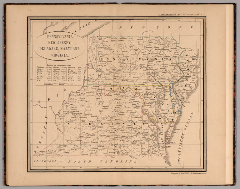
Hillebrands, A.J.
Full Title
Atlas de Vereenigde Staten No. 4. Pennsylvania, New Jersey, Delaware, Maryland en Virginia.
List No
4323.006
Note
A scarce small atlas of ten maps published in Holland, but authored by a school teacher from the Dutch Colony in Holland, Michigan. It was most likely sold to Dutch Americans and those in Holland planning to emigrate or who had relatives in America. The date is estimated by Phillips and Koeman. Koeman lists an earlier edition of 1849, with five maps. There is a double page of text at the end of the maps, with lists of distances by steamboat and railroad. The copy listed in Phillips has a cover title, not present here. Maps are hand painted with outline color.
Author
Schonberg & Co.
Full Title
New Jersey.
List No
4324.012
Note
Relief shown in hachures. Prime meridians are Greenwich and Washington D.C. Counties differentiated by full color.
Author
Mitchell, Samuel Augustus
Full Title
Map of New Jersey, Compiled from the latest authorities. Published by Thomas, Cowperthwait & Co. Philadelphia. 1854. Entered ... 1850 by Thomas, Cowperthwait & Co. ... Pennsylvania.
List No
4328.015
Note
Full color map by county. Shows railroads, roads, county towns, land distance, etc. With lists of routes, and table of population. Relief shown by hachures. Prime meridian is Washington.
Author
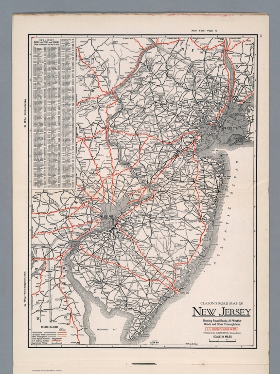
Clason Map Company
Full Title
Clason's Road Map of New Jersey. Showing paved roads, All weather roads and other throughfares. (U.S. Highways shown in red.) Published by the Clason Map Co., Chicago-Denver. Copyrighted Clason Map. All rights reserved. Map No. R-253 A.
List No
4423.015
Note
Color map. Includes road legend, and Index of cities and towns giving populations and Key to map.
Author
[Bradford, Thomas G., Goodrich, S.G.]
Full Title
New Jersey. Engraved by G.W. Boynton. Entered ... 1838 by Thos. Gordan ... New Jersey. Reduced from T. Gordan's Map of N. Jersey, with part of the adjoining States.
List No
4453.017
Note
In full color by county.
Author
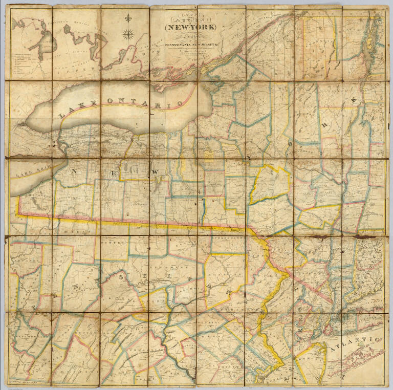
Lay, Amos
Full Title
Map of the State of New York with part of the States Of Pennsylvania, New Jersey &c. Compiled Corrected and Published from the most recent Authorities and accurate Surveys by Amos Lay 1817. Entered ... 12th day of May 1817 by Amos Lay ... New-York.
List No
4455.000
Author
Rand McNally and Company
Full Title
Rand, McNally & Co.'s New Jersey.
List No
4520.016
Note
Map in outline color. Named railroads in red. Inset maps of Paterson and Jersey City and Vicinity.
Full Title
Selected industries in twenty principal cities. Based on the returns of the tenth census. 1. Chicago, Ill. 2. New York, N.Y. 3. Brooklyn, N.Y. 4. Pittsburgh, Pa. 5. Philadelphia, Pa. 6. Jersey City, N.J. Copyright, 1883, by Charles Scribner's Sons.
List No
4521.136
Note
Uncolored lithographed chart. "Manufactures."
Author
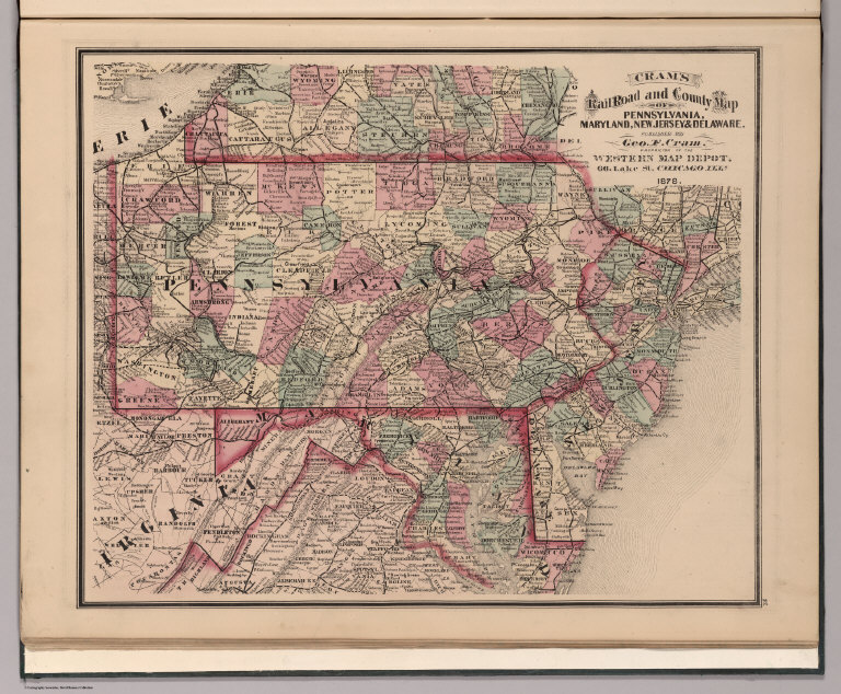
Cram, George Franklin
Full Title
Cram's Rail Road & County Map of Pennsylvania, Maryland, New Jersey & Delaware.
List No
4533.023
Author
Lucas, Fielding Jr.
Full Title
New Jersey. 17. H.S. Tanner, sc. (1816)
List No
4534.017
Note
Engraved, hand colored. Counties shown. Relief shown with hachures.
Author
Tanner, Henry S.
Full Title
(Covers to) A Map Of The Canals & Rail Roads Of Pennsylvania And New Jersey And The Adjoining States. By H.S. Tanner. Published by H.S. Tanner, Philadelphia ... Entered ... 1839, by H.S. Tanner ... Pennsylvania. Engraved by H.S. Tanner & Assistants.
List No
4551.001
Note
The copyright date has been changed to 1839. Phillips shows the 1839 edition appearing in the 1839 edition of the New American Atlas. Most of the additions and changes involve railroads; the canal development is about the same as the 1834 edition. The dark brown cloth covers 14.5x9.5 have printed in gilt "Tanner's Travelling Map Of Penna. & N. Jersey With The Roads, Canals, Railroads, Counties .& 1840." Full color by county. Prime meridians are Washington D.C. and Greenwich. Relief shown by hachures.
Author
Tanner, Henry S.
Full Title
A Map Of The Canals & Rail Roads Of Pennsylvania And New Jersey And The Adjoining States. By H.S. Tanner. Published by H.S. Tanner, Philadelphia ... Entered ... 1839, by H.S. Tanner ... Pennsylvania. Engraved by H.S. Tanner & Assistants.
List No
4551.002
Note
The copyright date has been changed to 1839. Phillips shows the 1839 edition appearing in the 1839 edition of the New American Atlas. Most of the additions and changes involve railroads; the canal development is about the same as the 1834 edition. The dark brown cloth covers 14.5x9.5 have printed in gilt "Tanner's Travelling Map Of Penna. & N. Jersey With The Roads, Canals, Railroads, Counties .& 1840." Full color by county. Prime meridians are Washington D.C. and Greenwich. Relief shown by hachures.
Author
Mitchell, Samuel Augustus
Full Title
Map of New Jersey. Published By Charles Desilver, No. 714 Chestnut Street, Philadelphia. Entered according to Act of Congress in the year 1856 by Charles Desilver in the Clerk's office if the District Court of the Eastern District of Pennsylvania. 13.
List No
4557.013
Note
Tables of population. Meridian Washington. Table of distances. Counties tinted in color. Relief shown by hachures.
Author
Cram, George Franklin
Full Title
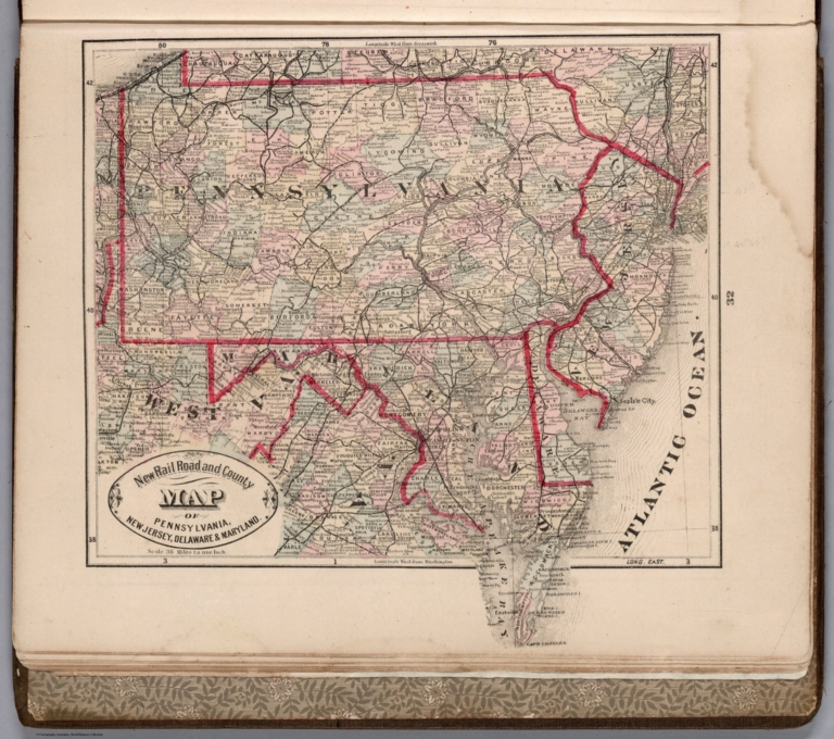
New Rail Road and County Map of Pennsylvania, New Jersey, Delaware & Maryland.
List No
4558.027
Author
Mitchell, Samuel Augustus Jr.
Full Title
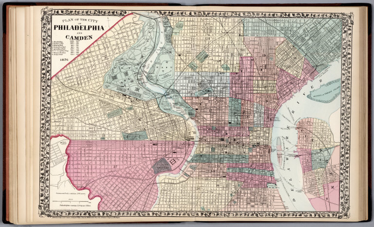
Plan of the City of Philadelphia and Camden, 1876. Drawn and Engraved by W.H. Gamble Philadelphia. Entered ... 1876 by S. Augustus Mitchell, . ... Washington.
List No
4564.021
Note
Full colored map. Shows wards, railroads, ferries, and major buildings in square feet and acres.
Author
Mitchell, Samuel Augustus Jr.
Full Title
County map of New Jersey. Scale 1:1,100,000. County map of Maryland and Delaware. Scale 1:1,400,000. Drawn and engraved by W.H. Gamble, Philadelphia. Entered ... 1877 by S. Augustus Mitchell, . ... Washington.
List No
4564.022
Note
Two color maps on one page. Show settlements, railroads, etc. Relief shown by hachures. Prime meridians are Greenwich and Washington.
Author
Johnson, A.J.
Full Title
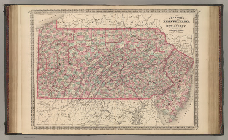
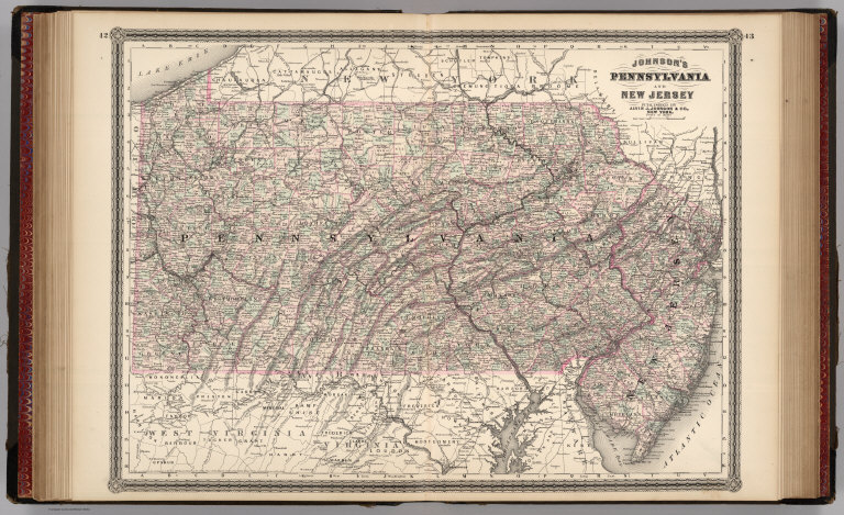
Johnson's Pennsylvania and New Jersey. Published by A. J. Johnson, New York. 42. 43. Entered according to the Act of Congress, in the year 1864, by A.J. Johnson in the Clerk's Office of the District Court of the United States for the Southern District of New York.
List No
4574.018
Note
Engraved color map with districts and counties differentiated by color. Shows roads and railroads. Alternative meridian shown is Washington D.C.
Author
Johnson, A.J.
Full Title
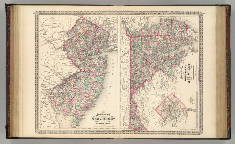
Johnson's New Jersey. Published by A. J. Johnson, New York. Johnson's Delaware and Maryland. Published by A. J. Johnson, New York. 44. 45. Entered according to the Act of Congress, in the year 1866, by A.J. Johnson in the Clerk's Office of the District Court of the United States for the Southern District of New York.
List No
4574.020
Note
Two maps on one sheet. Engraved color maps with districts differentiated by color. Show roads and railroads. Alternative meridian shown is Washington D.C. Inset of the District of Columbia. Scale of Delaware and Maryland map is 1:990,000.
Author
Carey, Mathew
Full Title
The State of New Jersey Compiled from the most Authentic Information. Compiled by Samuel Lewis.
List No
4577.013
Note
Map in outline color by county with hills and towns delineated.
Author
[Bourquin, Frederick, Mitchell, Samuel Augustus, Tanner, Henry S.]
Full Title
New Jersey Reduced from T. Gordan's Map by H.S. Tanner. Entered according to Act of Congress in the 1834, by T. Gordan - in the Clerk's Office of the District Court of the District Court of New Jersey. 12.
List No
4578.013
Note
Lithographed. Marshland shown. Relief shown with hachures. Extant and proposed canals and railroads shown. Distances to and between destinations shown in tables. Contemporary and historic population tables provided. Meridian Washington.
Author
Lucas, Fielding Jr.
Full Title
New Jersey. Kneass Sc. Drawn & Published by F. Lucas Jr. Baltimore.
List No
4584.053
Note
Full color by county.
Author
Colton, G.W.
Full Title
Colton's New York City, Brooklyn, Jersey City, Hoboken, Etc. Published by G. W & C. B. Colton & Co., No. 172 William St. New York.
List No
4587.030
Note
(inset) Plan of the Northern Portion of the City of New York.
Author
Colton, G.W.
Full Title
Colton's New Jersey. Published by G. W & C. B. Colton & Co., No. 172 William St. New York.
List No
4587.031
Note
Prime meridians are Washington D.C. and Greenwich.
Author
Burr, David H., 1803-1875
Full Title
New-Jersey. Entered ... 1835 by Thos. Illman ... New York.
List No
4628.040
Note
In full color by county.
Author
Beers, Frederick W.
Full Title
Map of New York and Vicinity Accompanying Atlas of New York and Vicinity, Published by Beers, Ellis & Soule, 95 Maiden Lane, New York.
List No
4631.005
Note
Fold-out map.
Author
Cram, George Franklin
Full Title
Railroad and County Map of New Jersey. Geo. F. Cram. Engraver and Publisher, Chicago. (inset) Environs of Hudson County.
List No
4727.013
Note
Prime meridians Washington D.C. and Greenwich. Relief shown by hachures. With printed color.
Author
Gray, Ormando Willis
Full Title
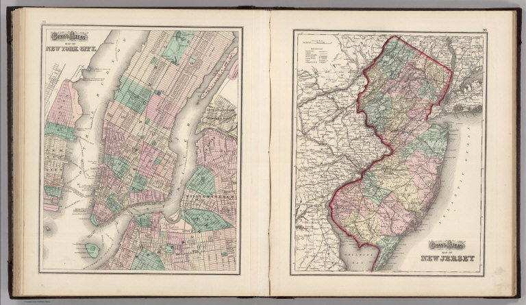
Gray's Atlas Map of New York City. Gray's Atlas Map of New Jersey.
List No
4740.031
Note
Prime meridians Washington D.C. and Greenwich. Relief shown by hachures. No scale provided for New York City map.
Author
Meyer, Joseph, 1796-1856
Full Title
Neueste Karte von New Jersey mit seinen Strassen, Entfernung, der Hauptpunkte u. Routen fur Dampfschiffe. Nach den bessten Quellen verbessert, 1846. Aus der Geographischen Graviranstalt des Bibliographischen Instituts zu Hildburghausen, Amsterdam, Paris u. Philadelphia, (1860)
List No
4807.144
Note
Engraved map. State boundaries hand col. Relief shown by hachures. Includes statistical and distance tables. "Meyers Handatlas No. 95." Prime meridians: Ferro and Washington.
Author
Colton, G.W.
Full Title
Colton's New Jersey. Published By G. W. & C.B. Colton. No. 172 William St. New York.
List No
4825.030
Note
Counties shown in color. Prime meridian is Washington D.C.
Author
Johnson, A.J.
Full Title
Johnson's Pennsylvania and New Jersey. Published by Alvin J. Johnson & Co., New York. 42. 43. Entered according to the Act of Congress, in the year 1864, by A.J. Johnson in the Clerk's Office of the District Court of the United States for the Southern District of New York.
List No
4828.032
Note
Engraved color map with districts and counties differentiated by color. Shows roads and railroads. Alternative meridian shown is Washington D.C.
Author
Johnson, A.J.
Full Title
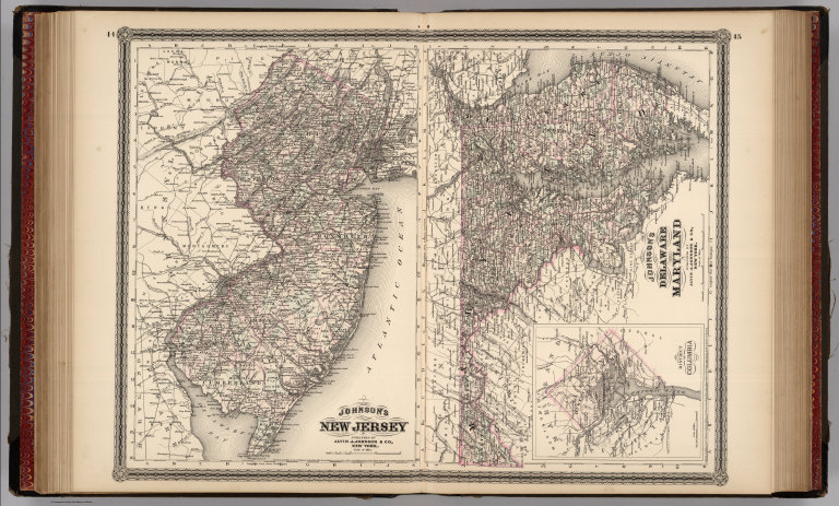
Johnson's New Jersey. Published by Alvin J. Johnson & Co., New York. Johnson's Delaware and Maryland. Published by A. J. Johnson, New York. 44. 45. Entered according to the Act of Congress, in the year 1866, by A.J. Johnson in the Clerk's Office of the District Court of the United States for the Southern District of New York.
List No
4828.034
Note
Two maps on one sheet. Engraved color maps with districts differentiated by color. Show roads and railroads. Alternative meridian shown is Washington D.C. Inset of the District of Columbia. Scale of Delaware and Maryland map is 1:990,000.
Author
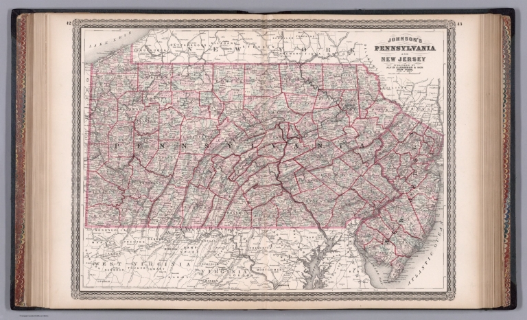
Johnson, Alvin Jewett, 1827-1884.
Full Title
Johnson's Pennsylvania and New Jersey. Published by Alvin J. Johnson & Son, New York. Entered ... 1864, by A.J. Johnson ... New York. (to accompany) Johnson's New Illustrated Family Atlas Of The World ... MDCCCLXXX (1880).
List No
4830.074
Note
Engraved hand colored in outline map on 2 sheets. Shows State and county boundaries, towns, railroads, roads, rivers and canals. Depth shown by isolines. Relief shown by hachures. Prime meridians are Greenwich and Washington.
|