|
REFINE
Browse All : Images of British Isles from 1845
1-9 of 9
Author
[Ewald, Ludwig 1813-1881, Bauerkeller, Georg Leonhart]
Full Title
No. 60. Die Britischen Inseln.
List No
12189.086
Author
Andriveau-Goujon, J.
Full Title
Carte des Iles Britanniques, comprenant l'Angleterre, l'Ecosse et l'Irlande. Publiee par J. Andriveau-Goujon, Rue du Bac, no. 17, Paris, 1845.
List No
2486.018
Note
Hand col. Relief shown by hachures. Prime meridian: Paris. "Atlas universel, no. 18."
Author
Hunt, Marianne
Full Title
Carte des Iles Britanniques 1845. (to accompany) Cours de Geographie. Institution de Mme. Butler. Saint-Omer. Marianne Hunt. 1844.
List No
2503.040
Note
Physical map of Great Britain. Outline hand color, on page 27x34. Relief shown by hachures. Includes notes.
Author
Hunt, Marianne
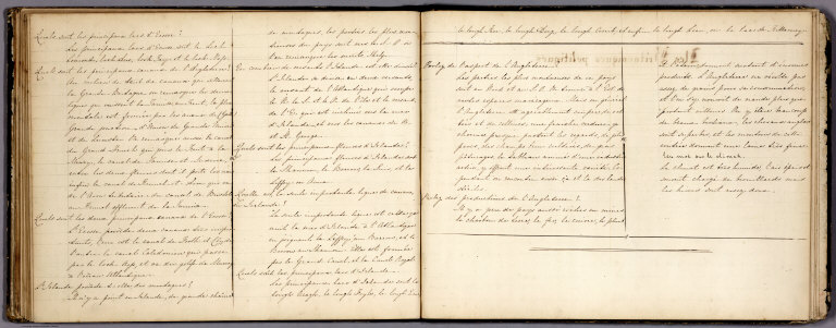
Full Title
(Text Page to) Iles Britanniques : Physique. (to accompany) Cours de Geographie. Institution de Mme. Butler. Saint-Omer. Marianne Hunt. 1844.
List No
2503.041
Note
Text to physical geography of Great Britain.
Author
Hunt, Marianne
Full Title
(Text Page to) Iles Britanniques : Physique. (to accompany) Cours de Geographie. Institution de Mme. Butler. Saint-Omer. Marianne Hunt. 1844.
List No
2503.042
Note
Text to physical geography of Great Britain.
Author
Hunt, Marianne
Full Title
(Text Page to) Iles Britanniques : Politiques. (to accompany) Cours de Geographie. Institution de Mme. Butler. Saint-Omer. Marianne Hunt. 1844.
List No
2503.043
Note
Text to political geography of Great Britain.
Author
Hunt, Marianne
Full Title
(Iles Britanniques : Politiques). (to accompany) Cours de Geographie. Institution de Mme. Butler. Saint-Omer. Marianne Hunt. 1844.
List No
2503.044
Note
Untitled political map of Great Britain. Outline hand color, on page 27x34. Shows political boundaries and administrative divisions. Includes notes.
Author
Hunt, Marianne
Full Title
(Text Page to) Iles Britanniques : Politiques. (to accompany) Cours de Geographie. Institution de Mme. Butler. Saint-Omer. Marianne Hunt. 1844.
List No
2503.045
Note
Text to political geography of Great Britain.
Author
[Brue, Adrien Hubert, 1786-1832, Marzolla, Benedetto, Picquet, C.]
Full Title
Regno Unito della Gran Brettagna e dell'Irlanda. Nella formazione di questa carta non solamente abbiamo avuto sottocchio quella del Brue, riveduta et aumentata dal Signor Piquet (sic), data in luce a Parigi nel 1840 ... Napoli 1845. Reale Litografia Militare. Benedetto Marzolla esegui col pennello su pietra.
List No
4714.019
Note
Lithographed map. Hand col. Relief shown by hachures. Includes notes and statistical tables. Prime meridian: Paris.
1-9 of 9
|