|
REFINE
Browse All : Railroad of Mexico and U.S. West
1-6 of 6
Author
Atchison, Topeka, and Santa Fe Railroad Company
Full Title
(Covers to) Santa Fe. The Atchison, Topeka & Santa Fe Railway and connecting lines. Oct. 10, 1904.
List No
5281A
Author
Atchison, Topeka, and Santa Fe Railroad Company
Full Title
Santa Fe. Poole Bros., Chicago.
List No
5281.001
Note
Relief shown by hachures. Shows the Santa Fe Railway route from Chicago to San Francisco. Includes inset map of part of Mexico and "Profile of the Santa Fe, Chicago to California."
Author
Southern Pacific Company
Full Title
(Covers to:) California, Texas, Mexico And Arizona Southern Pacific Co. "Sunset route" from New Orleans to the Pacific Coast ... January, 1892. American Bank Note Co., N.Y.
List No
3139A
Note
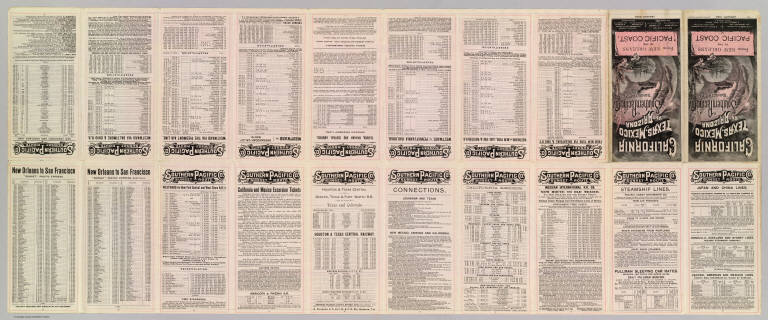
Self wrapper cover in color, illustrated.
Author
Southern Pacific Company
Full Title
California, Texas, Mexico And Arizona Southern Pacific Co. "Sunset route" from New Orleans to the Pacific Coast ... January, 1892. American Bank Note Co., N.Y.
List No
3139B
Note
Timetables and travel information (20 p.) including self wrapper cover in color, illustrated. Folded to 21 x 10 cm.
Author
Southern Pacific Company
Full Title
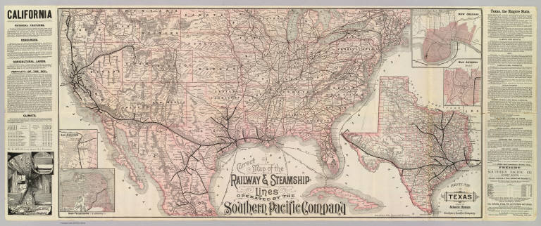
Correct map of the railway & steamship lines operated by the Southern Pacific Company [United States and Mexico]. Poole Bros., Map Engravers, Chicago. (inset) County map of Texas showing the Atlantic System of the Southern Pacific Company. (inset) San Francisco, California. (inset) Los Angeles, California. (inset) New Orleans. (inset) San Antonio, Texas.
List No
3139.001
Note
Col. map with 5 insets. Relief shown by hachures. Shows connecting steamship routes from New York to New Orleans. Text descriptions of California and Texas. Interior view of Sleeping Car.
Author
Rand McNally and Company
Full Title
(Composite Map of) (Western section of Rand, McNally & Co.'s New Shippers' Railroad Map of the United States. Scale: 18 miles to one inch).
List No
5802.016
Note
This is a composite of the north and south parts of the west coast section of the larger map, on a reduced scale of 18 miles to 1 inch.
1-6 of 6
|