|
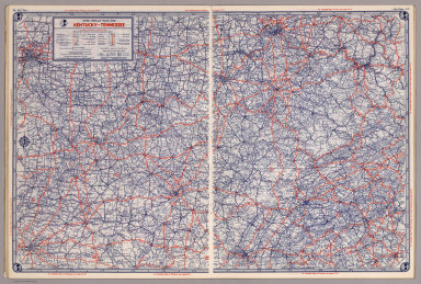
Author
Shell Oil Company
Full Title
Shell Map of Kentucky, Tennessee (cover title). Shell Highway Map of Kentucky, Tennessee. 7-DD-1956-2.
List No
5840.037
Author
Shell Oil Company
Full Title
Louisville. Memphis. Nashville. Chattanooga. Cincinnati (Ohio). Knoxville. Evansville (Indiana). Asheville (North Carolina). Lexington. Great Smoky Mtns. National Park. (Verso to) Shell Highway Map of Kentucky, Tennessee.
List No
5840.038
Author
[Howe, Samuel Gridley, Ruggles, Stephen P.]
Full Title
Map of Kentucky & Tennessee.
List No
5956.039
Note
Embossed for use by the blind.
Author
[State Farm Insurance Companies Travel Bureau, Rand McNally and Company]
Full Title
Rand McNally Road map, Kentucky - Tennessee. Copyright by Rand McNally & Company, Chicago, Ill. Lithographed in the U.S.A. (to accompany) State Farm Road Atlas: United States, Canada, Mexico,Central and South America. Copyright 1940 by Rand McNally & Company, Chicago, Ill.
List No
5969.033
Note
Color map. U.S. interstate highways shown in red. Shows roads, capitals, population of cities and towns, etc. Relief shown by hachures and spot heights.
Author
[Rand McNally and Company, State Farm Insurance Companies Travel Bureau]
Full Title
Rand McNally Road map: Kentucky - Tennessee. Copyright by Rand McNally & Company, Chicago, Ill. Lithorgaphed in the U.S.A. U.3615. (to accompany) State Farm road atlas : United States, Canada, Mexico.
List No
6825.030
Note
Color map. U.S. interstate highways shown in red. Shows time zone boundaries, roads, ferries, highways, rivers and streams. Includes population of cities and towns. Relief shown by hachures.
Author
[Taylor, Frank J., White, Ruth Taylor]
Full Title
Tennessee.
List No
7823.098
Author
Baker, Harriet E.
Full Title
Tennessee. (to accompany) Harriet E. Baker's Book of Penmanship & Map. At Mr. Dunham's School Windsor Vermont March 31, 1819.
List No
8307.047
Note
Outline color map. Showing county lines, cities, and rivers. Relief shown by hachures.
Author
[Hader, Berta Hoerner (1890-1976), Hader, Elmer Stanley (1889-1973]
Full Title
Kentucky. Tennessee.
List No
8763.032
|