|
REFINE
Browse All : Composite Map from 1924
1-4 of 4
Author
[Birdseye, C.H., Burchard, R.W., U.S. Geological Survey]
Full Title
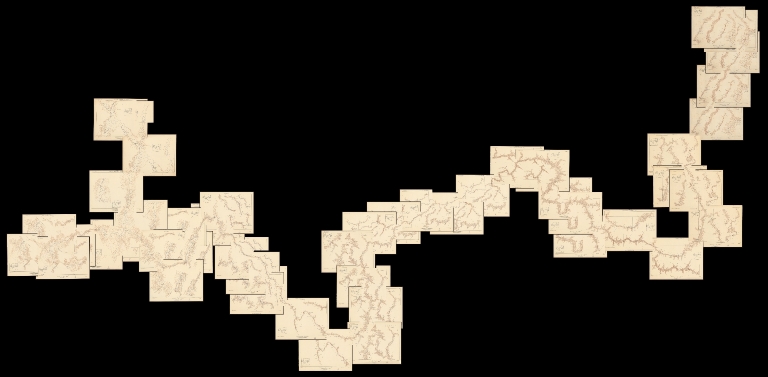
(Composite map of) Sheets A - N. Plan and Profile of Colorado River From Lees Ferry, Ariz., To Black Canyon, Ariz.-Nev., and Virgin River, Nev. 21 Sheets (14 plans, 7 profiles).
List No
10974.001
Author
Rand McNally and Company
Full Title
(Composite of) Commercial Atlas of America. Black and White Mileage Map of the United States.
List No
5028.008
Note
Shows railroad lines and destinations.
Author
Rand McNally and Company
Full Title
(Composite of) Commercial Atlas of America. Rand McNally Standard Map of Brazil, Paraguay, and Uruguay.
List No
5028.186
Note
Relief shown by hachures. States outlined in red.
Author
Rand McNally and Company
Full Title
(Composite of) Commercial Atlas of America. Rand McNally Standard Map of Chile, Bolivia, Peru, Ecuador, Uruguay, Paraguay, and the Argentine Republic (southern part). (with) Detail Map of Southern Part of the Argentine Republic and Chile.
List No
5028.189
Note
Relief shown by hachures. States outlined in red. Inset at same scale as main map.
1-4 of 4
|